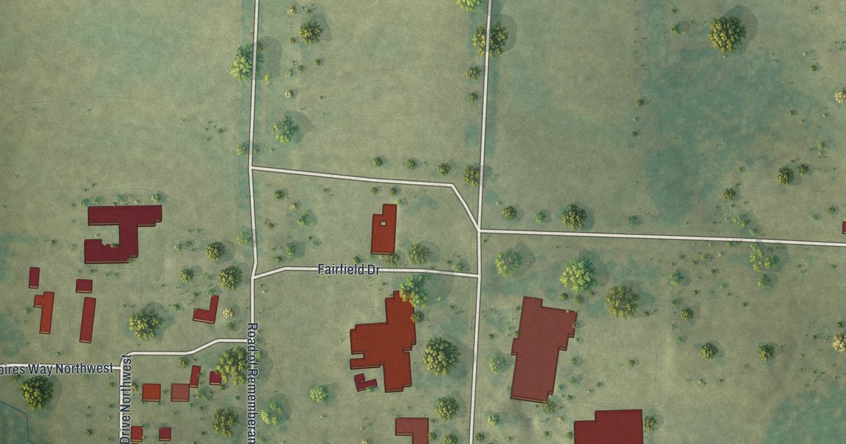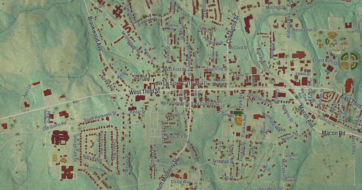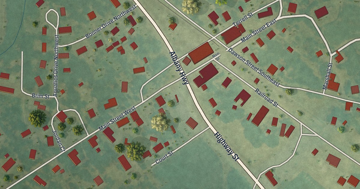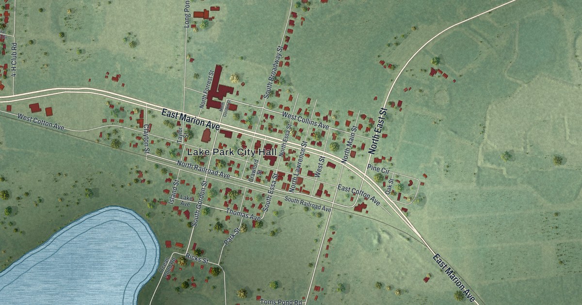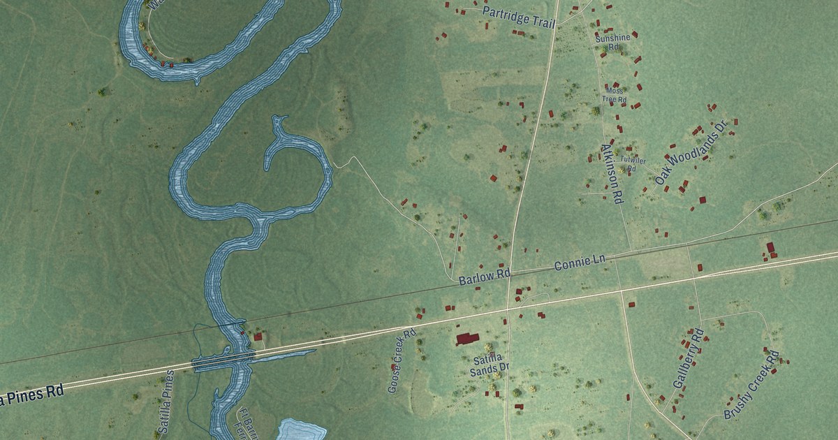
This beautifully detailed map of Atkinson, Georgia was created in 2026 using aerial imagery combined with modern topographical, census, street and landmark data. It’s a one-of-a-kind view of Atkinson that combines accurate data with a vintage aesthetic. The map shows every building in its true location, many of the roads carry their names, and the shaded topographic relief shows the shape of the land.
Explore an aerial view of Atkinson, Georgia
On the map you’ll find Warners Landing, along with Satilla Pines Road, Dogwood Drive, Connie Lane, Dogwood Road, Gilman Road, Oak Hammock Court, Barlow Road, Gallberry Road, Landfill Road, Ham Road, Barbers Circle, and more. If you look closely you can even find your house accurately drawn in its correct location. Zoom in on the preview to look for yours.
Did You Know?
From Internet Archive: "Spencer Atkinson, Miss Rosa Lowe. the Methodist Episcopal church, south; in. session here today, telegraphed President Wilson approving the attitude of the government in the note to German: the president's judgment."
Atkinson is a community in Brantley County.
Take a closer look at the Atkinson map
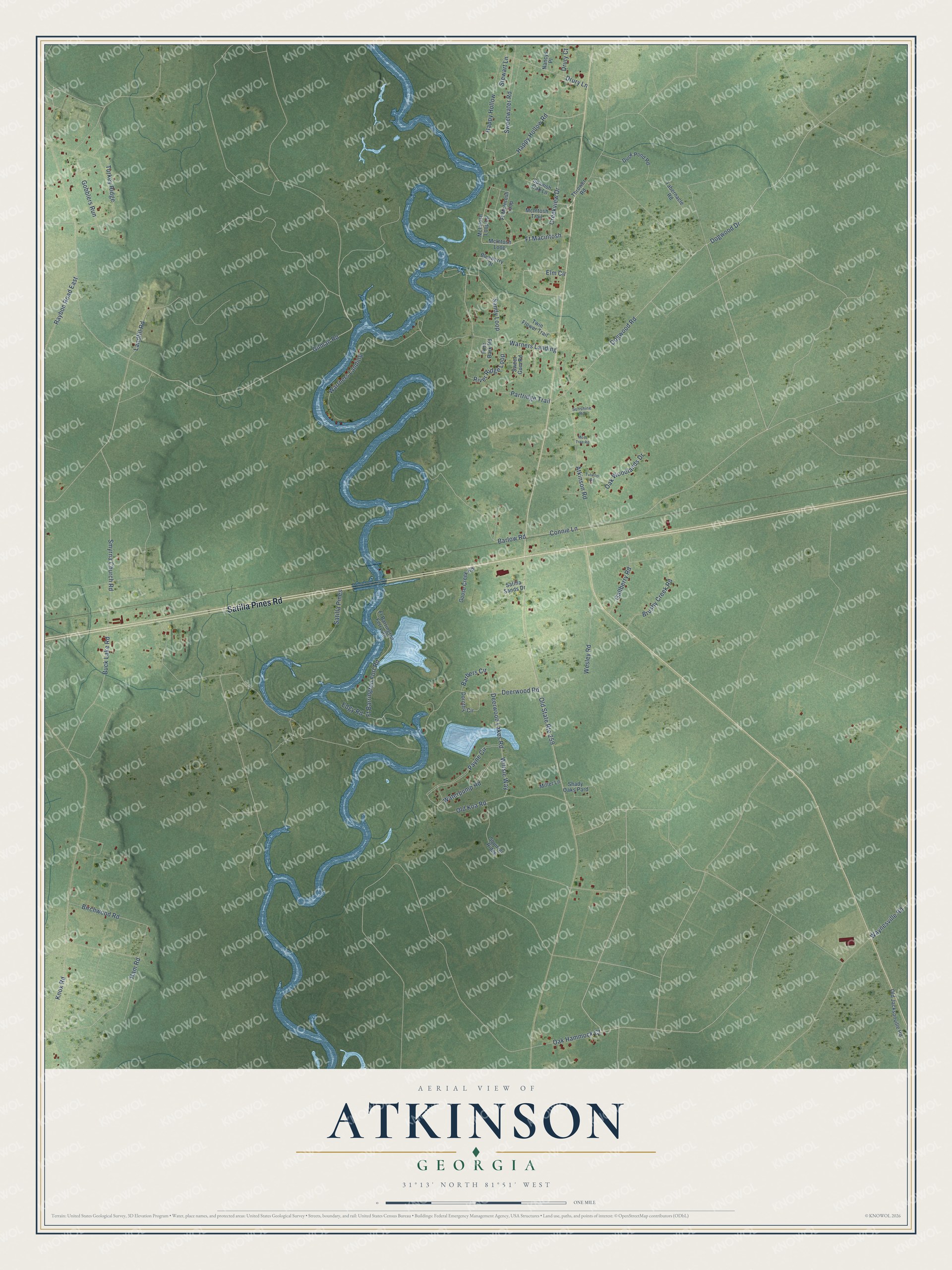
Names on this map
These names are printed on this map.
Streets and roads: Satilla Pines Road, Dogwood Drive, Connie Lane, Dogwood Road, Gilman Road, Oak Hammock Court, Barlow Road, Gallberry Road, Landfill Road, Ham Road, Warners Landing, Barbers Circle.
More street names, A to Z
Atkinson Road, Birchwood Road, Blueberry Drive, Brushy Creek Road, Buck Lake Road, Creekview Drive, Deerwood Lakes Road, Deerwood Road, Dorothy Circle, Drury Court, Drury Lane, Duck Pond Road, Edgy Road, Elm Circle, Ft Barrington Ferry Road, Ft Barrington Fort Road, Ft Macintosh, Ft McIntosh Loop, Gobblers Run, Goose Creek Road, Happy Hollow, Happy Hollow Road, Knox Road, McIntosh Loop, McIntosh Loop Lp, McIntosh Trail, Miller Lane, Moss Tree Road, Nancys Place, Oak Woodlands Drive, Old Jacksonville Road, Old Koa Road, Old State Route 259, Partridge Trail, Payne Circle, Pine Bark Road, Raybon Road East, River Ridge Loop, Sandy Loop, Satilla Pines, Satilla Sands Drive, Shady Oaks Pard, Smyrna Church Road, Spanish Oak Lane, Squirrel Ridge, Stewart Lane, Sunshine Road, Sweet Gum Road, Sweetwater Road, Tabernacle Road, Thrower Road, Turkey Ridge, Tutwiler Road, Twin Flower Trail, Warrners Landing, Waterpump Road, Waynesville Road, Wesley Road, Wiltsie Way.
See it on a wall
The Atkinson map as a framed print. Swipe for more.


This beautifully detailed map of Atkinson makes an attractive addition to your office, library, or den, and it can even be used to teach children the geography and history of the area. It also makes a great gift for someone who left Atkinson and still calls it home. When you’re done exploring, click here to get your copy of the Atkinson map.