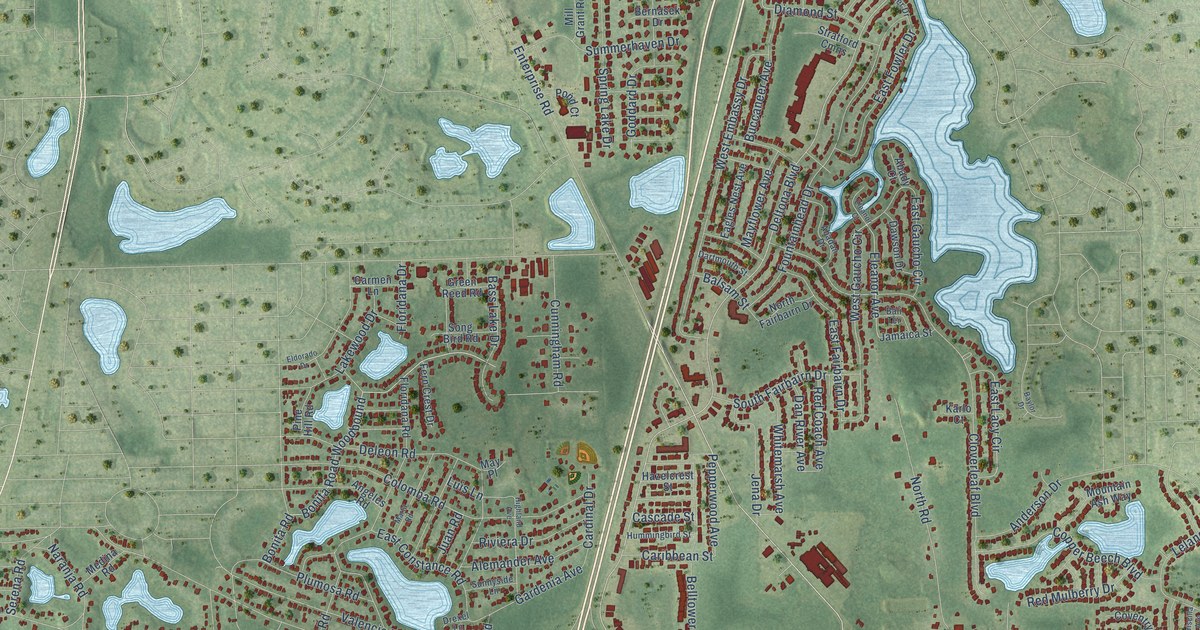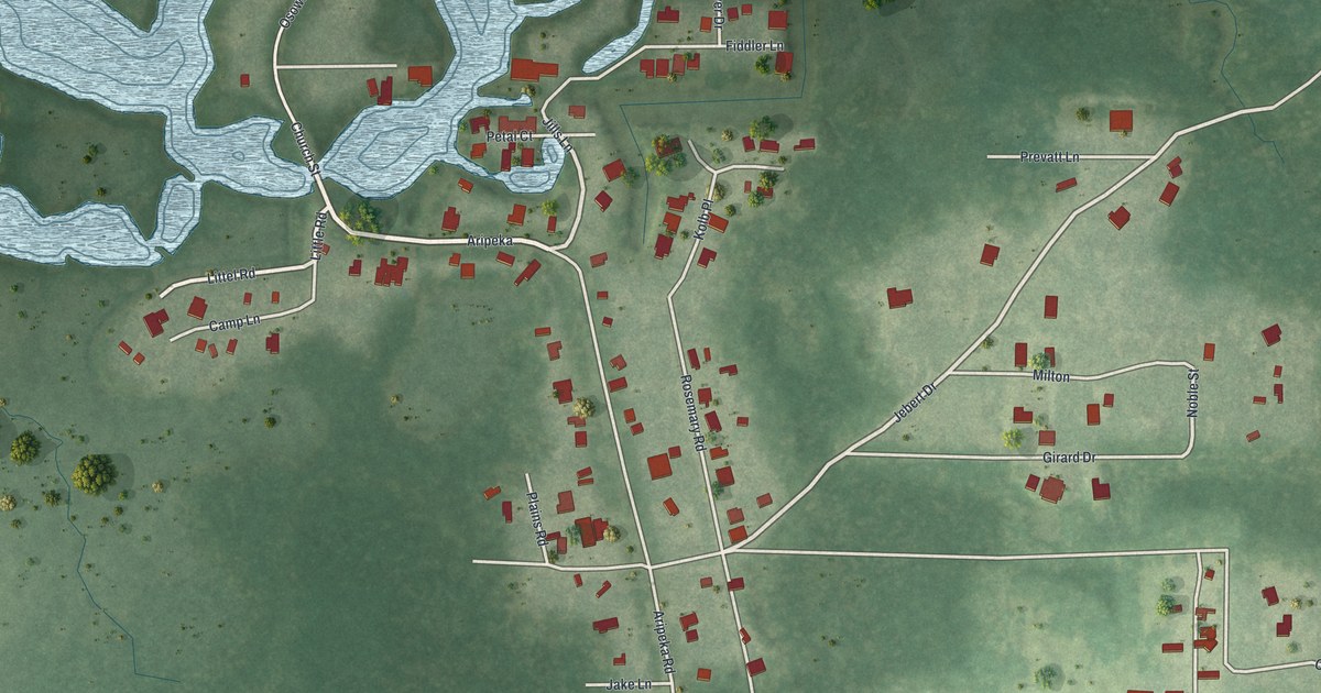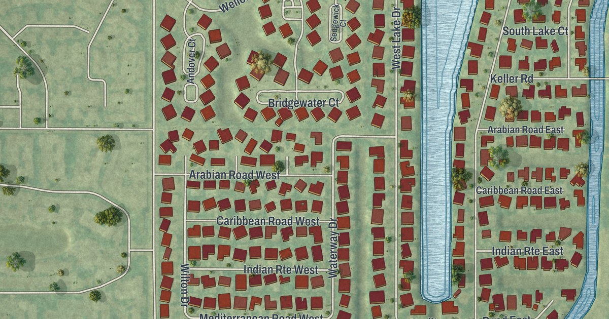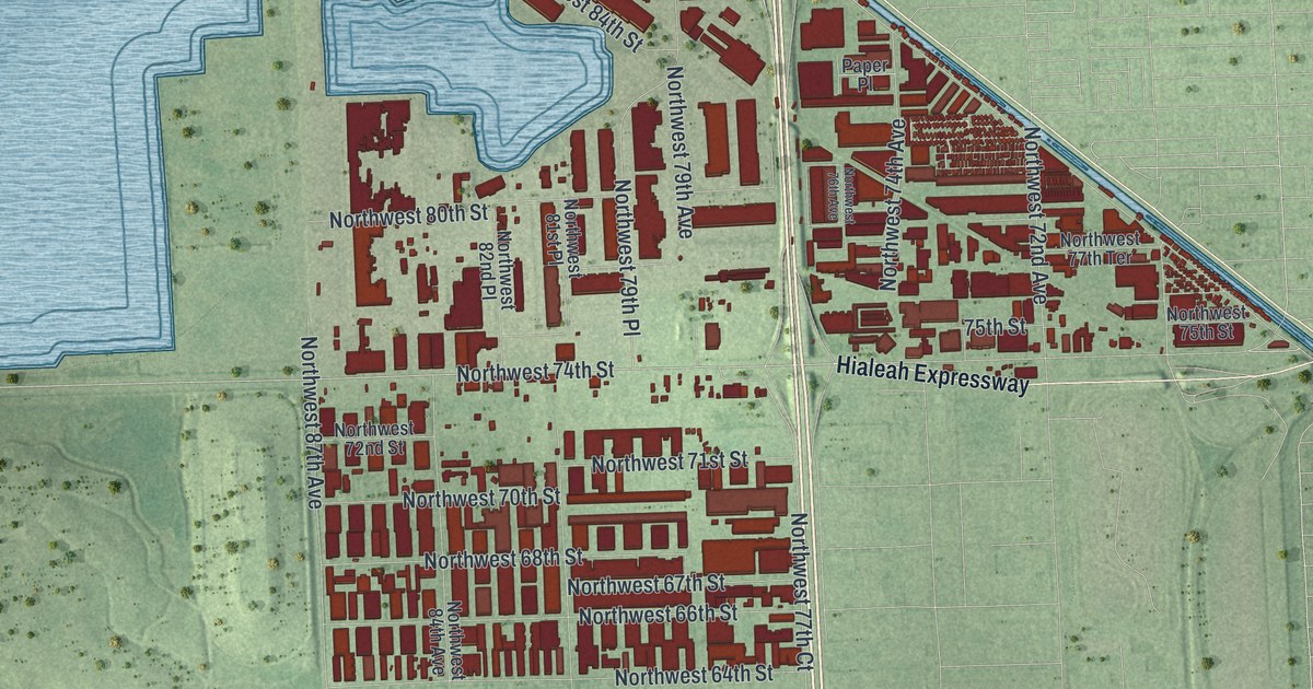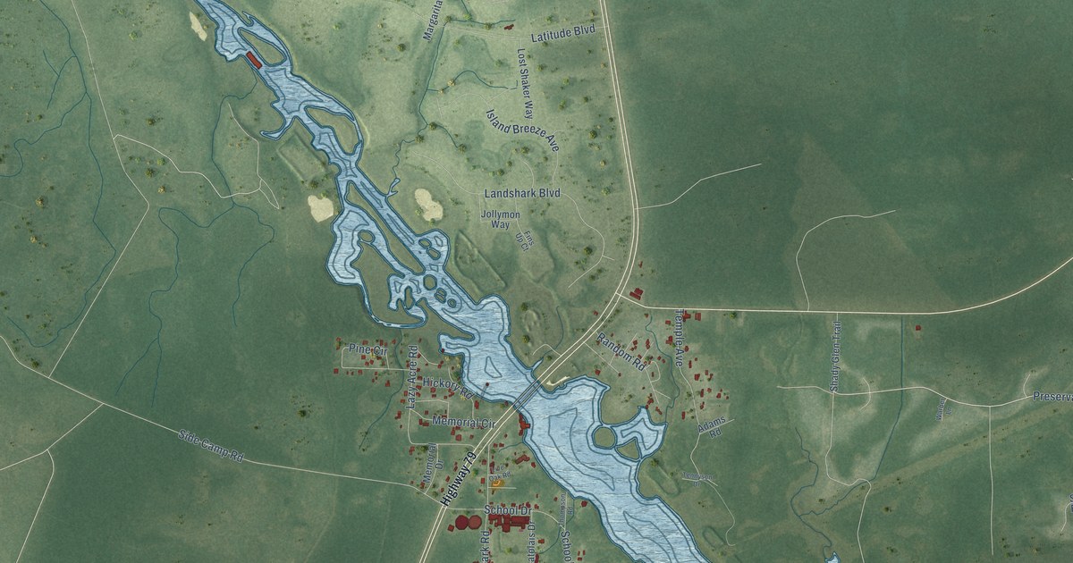
This beautifully detailed map of West Bay, Florida was created in 2026 using aerial imagery combined with modern topographical, census, street and landmark data. It’s a one-of-a-kind view of West Bay that combines accurate data with a vintage aesthetic. The map shows every building in its true location, many of the roads carry their names, and the shaded topographic relief shows the shape of the land.
Explore an aerial view of West Bay, Florida
On the map you’ll find Panama City Beach Conservation Park, along with Preservation Drive, Preservaton Drive, Turkey Cove Lane, West Bay Parkway, Side Camp Road, Coral Reef Way, Landshark Boulevard, Island Breeze Avenue, Latitude Boulevard, Memorial Circle, Temple Avenue, and more. If you look closely you can even find your house accurately drawn in its correct location. Zoom in on the preview to look for yours.
Did You Know?
From Internet Archive: "Buena Vista point furnished many fine oysters, while the largest taken came from the Big Oyster Bar north of the present West Bay Mill location."
West Bay is a community in Bay County.
Take a closer look at the West Bay map
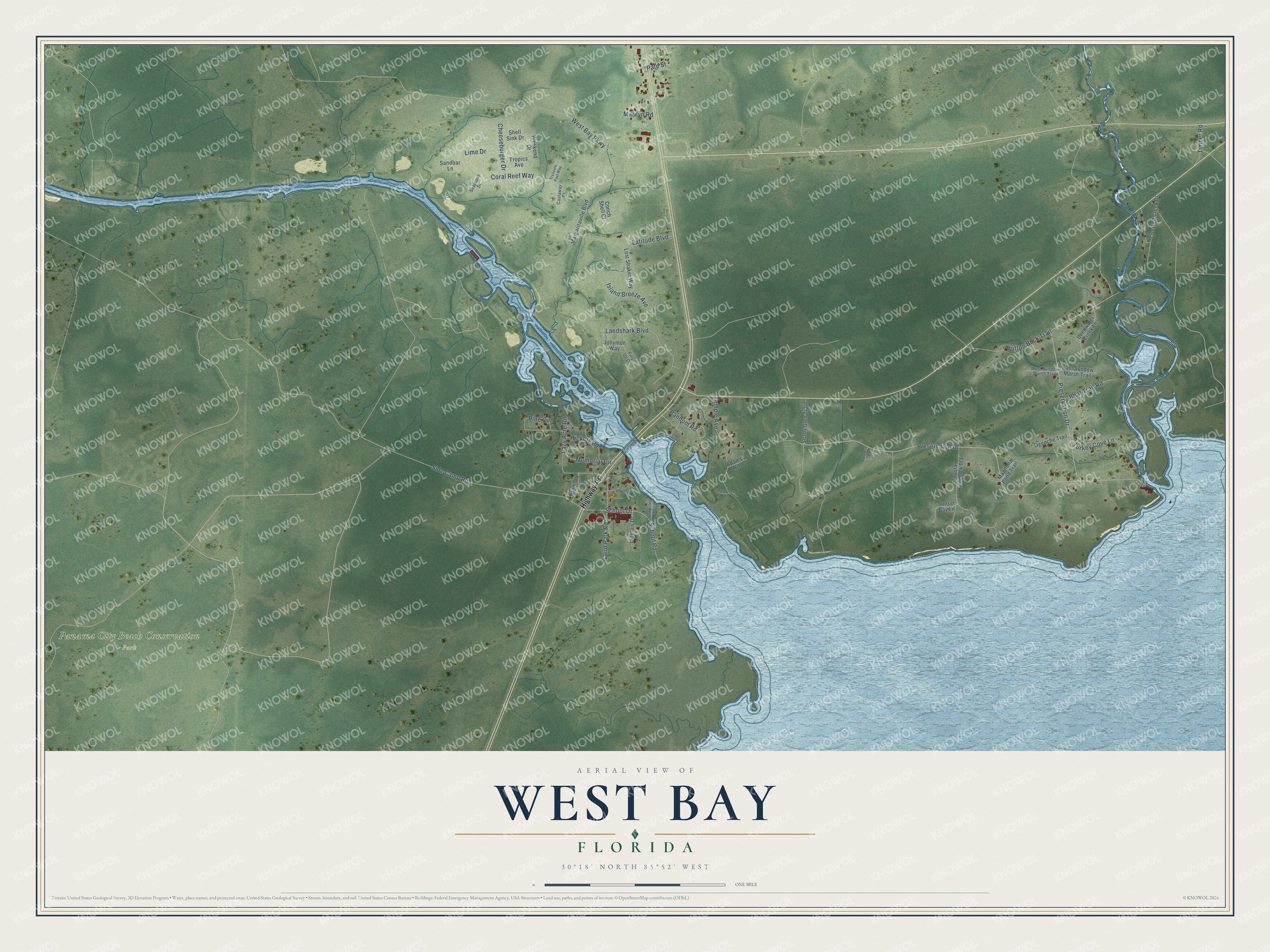
Names on this map
These names are printed on this map.
Places: Panama City Beach Conservation Park.
Streets and roads: Preservation Drive, Preservaton Drive, Turkey Cove Lane, West Bay Parkway, Side Camp Road, Coral Reef Way, Landshark Boulevard, Island Breeze Avenue, Latitude Boulevard, Memorial Circle, Temple Avenue, Laird Park Road.
More street names, A to Z
Adams Road, Boat Trail Road, Button Buck Trail, Castaway Court, Cheeseburger Drive, Coastal Hammock Trail, Conch Shell Court, Crooked Creek Drive, Deepwater Creek Lane, East Sundew Marsh Trail, Fins Up Court, Hickory Road, Highway 79, Jollymon Way, Latolais Drive, Lazy Acre Road, Lime Drive, Live Oak Road, Lost Shaker Way, Magnolia Pond Trail, Margaritaville Boulevard, Marilyn Road, Memorial Drive, Ogeeche Trail, Pate Street, Pine Circle, Random Road, Sandbar Lane, School Drive, School Road, Seaplane Drive, Shady Glen Trail, Shell Sink Drive, Sunset Bay Lane, Tennyson Drive, Thompson Road, Timber Road, Treasure Past Way, Tropics Avenue, Warber Lane, Weekend Drive, West Sundew Marsh Trail.
See it on a wall
The West Bay map as a framed print. Swipe for more.


This beautifully detailed map of West Bay makes an attractive addition to your office, library, or den, and it can even be used to teach children the geography and history of the area. It also makes a great gift for anyone who grew up in West Bay or moved away. When you’re done exploring, click here to get your copy of the West Bay map.