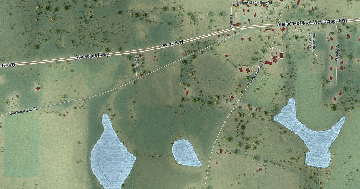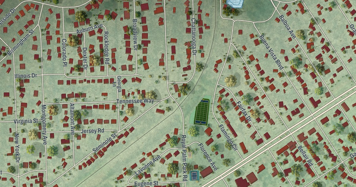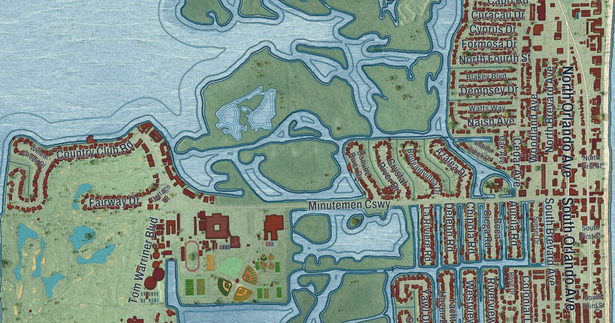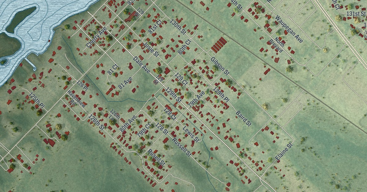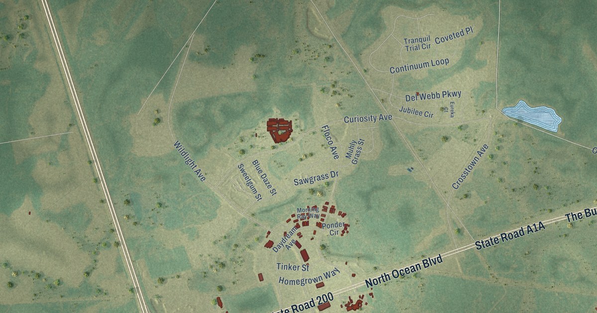
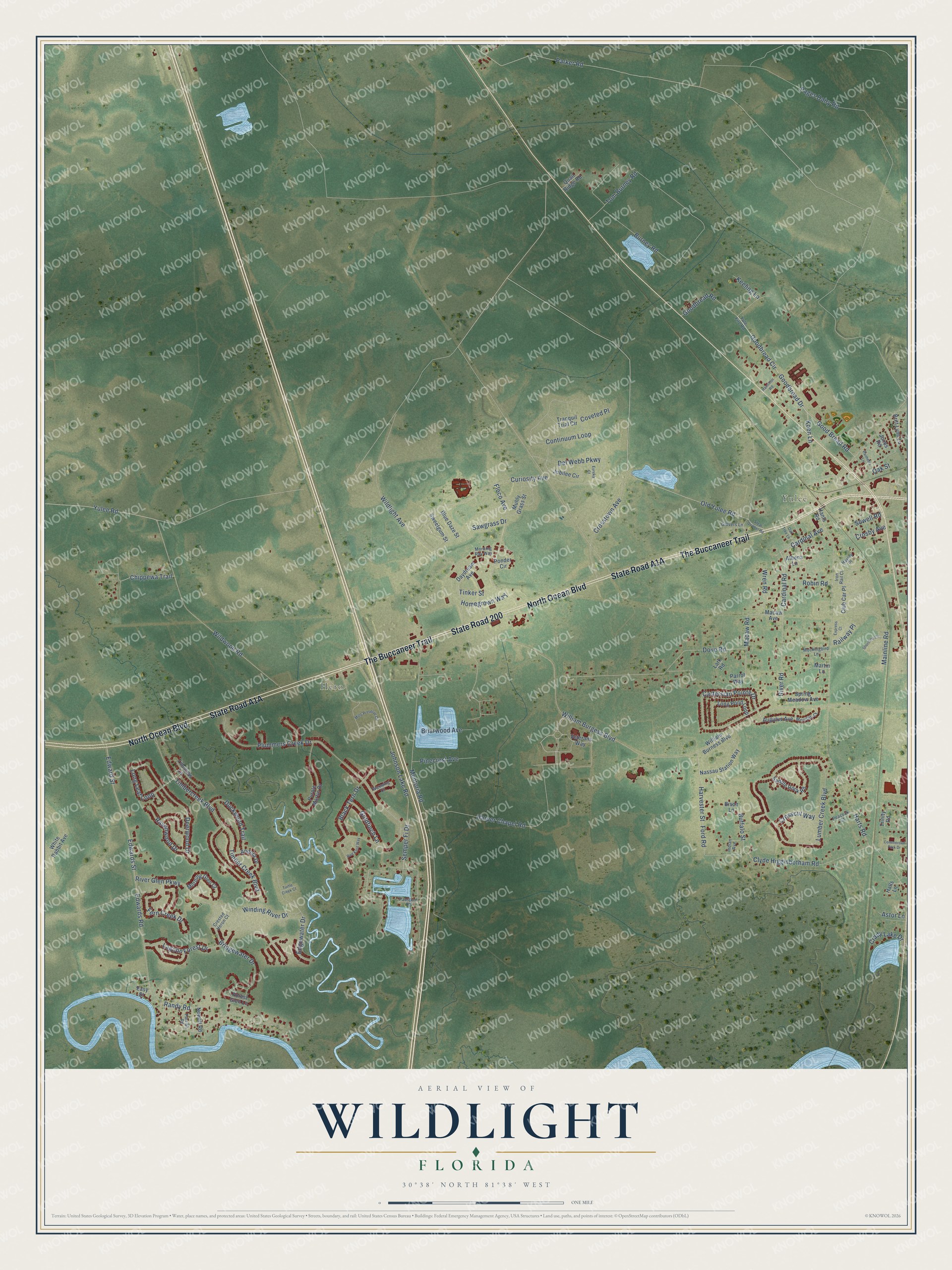
This beautifully detailed map of Wildlight, Florida was created in 2026 using aerial imagery combined with modern topographical, census, street and landmark data. It’s a one-of-a-kind view of Wildlight that combines accurate data with a vintage aesthetic. The map shows every building in its true location, many of the roads carry their names, and the shaded topographic relief shows the shape of the land.
Explore an aerial view of Wildlight, Florida
On the map you’ll find Yulee and Hero, along with North Ocean Boulevard, State Road 200, State Road A1A, The Buccaneer Trail, Cardinal Road, Cardinal Avenue, Koen Lane, Harts Road, Goodbread Circle, Goodbread Drive, and more. If you look closely you can even find your house accurately drawn in its correct location. Zoom in on the preview to look for yours.
Take a closer look at the Wildlight map
Names on this map
These names are printed on this map.
Places: Yulee and Hero.
Streets and roads: North Ocean Boulevard, State Road 200, The Buccaneer Trail, Cardinal Road, Cardinal Avenue, Koen Lane, Harts Road, Goodbread Circle, Goodbread Drive, Macaw Road, Old Yulee Road, Parker Road.
More street names, A to Z
Andora Drive, Astor Lane, Athena Lane, Augutus Avenue, Bison Lane, Black Tern Drive, Blue Daze Street, Briarwood Avenue, Bridgewater Drive, Britt Lynn Lane, Buffalo Street, Burney Road, Cartersian Pointe Drive, Chippewa Trail, Club Car Place, Clyde Higginbotham Road, Commercial Park Drive, Continuum Loop, Coveted Place, Crady Lake Drive, Crested Heron Court, Crosby Avenue, Crosscut Way, Crosstown Avenue, Curiosity Avenue, Daydream Avenue, Deerwood Drive, Del Webb Parkway, Dove Road, Duckwood Trail, Easy Street, Edgewater Drive, Edwards Road, Edwards Street, Edward Street, Eureka Court, Express Court, Fern Creek Drive, Floco Avenue, Ford Road, Forest Glen Lane, Glovers Lane, Goldfinch Lane, Goodbread Road, Good Bread Road, Halls Lane, Hamilton Road, Hants Road, Harper Chapel Road, Harvester Street, Hayley Place, Homegrown Way, Indian Avenue, Iron Rail Court, Johnson Lake Road, Jones Road, Jubilee Circle, Keeling Lane, Lagoon Forest Drive, Lark Road, Long Leaf Loop, Long Pond Loop, Lumber Creek Boulevard, Macaw Avenue, Mainline Road, Martin Lane, Mentoria Road, Meridith Court, Mills Preserve Circle, Mockingbird Lane, Morning Glen Court, Morning Ray Way, Muhly Grass Street, Nassau Station Way, Newell Road, Oak Street, Oak Tree Lane, Pages Dairy Road, Palmetto Lane, Parrish Road, Parrot Way, Passport Court, Peacock Court, Pinecrest Avenue, Plummers Creek Drive, Ponder Circle, Purple Martin Drive, Quail Ridge Road, Railway Place, Randy Road, Ravenwood Drive, Red Knot Way, River Glen Parkway, River Road, Robin Road, Saddle Rock Road, Sawgrass Drive, Semper Fi Drive, Shortline Circle, Sowell Road, Spring Meadow Avenue, Steal Quarter Road, Sweetgum Street, Tideview Lane, Timbercreek Boulevard, Timber Creek Boulevard, Tinker Street, Tom Burney Road, Tranquil Trial Circle, Trinity Road, Turtle Creek Court, Veterans Way, Waxwing Court, White Rabbit Avenue, Wildlight Avenue, Wildwood Road, William Burgess Boulevard, William Burness Boulevard, Winding River Drive, Wren Road, Yulee Road, Yule Fire Road.
See it on a wall
The Wildlight map as a framed print. Swipe for more.


This beautifully detailed map of Wildlight makes an attractive addition to your office, library, or den, and it can even be used to teach children the geography and history of the area. It also makes a great gift for anyone with Wildlight roots. When you’re done exploring, click here to get your copy of the Wildlight map.