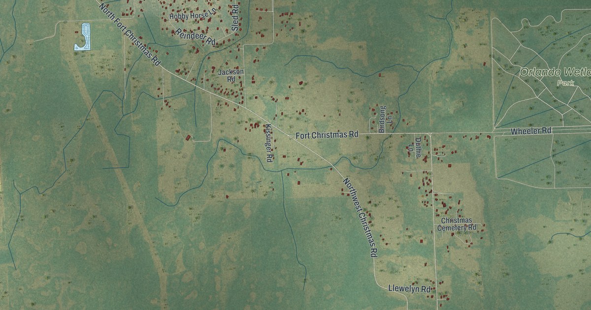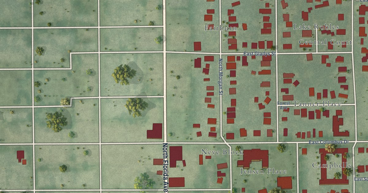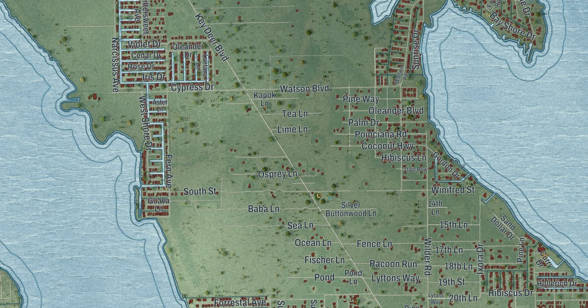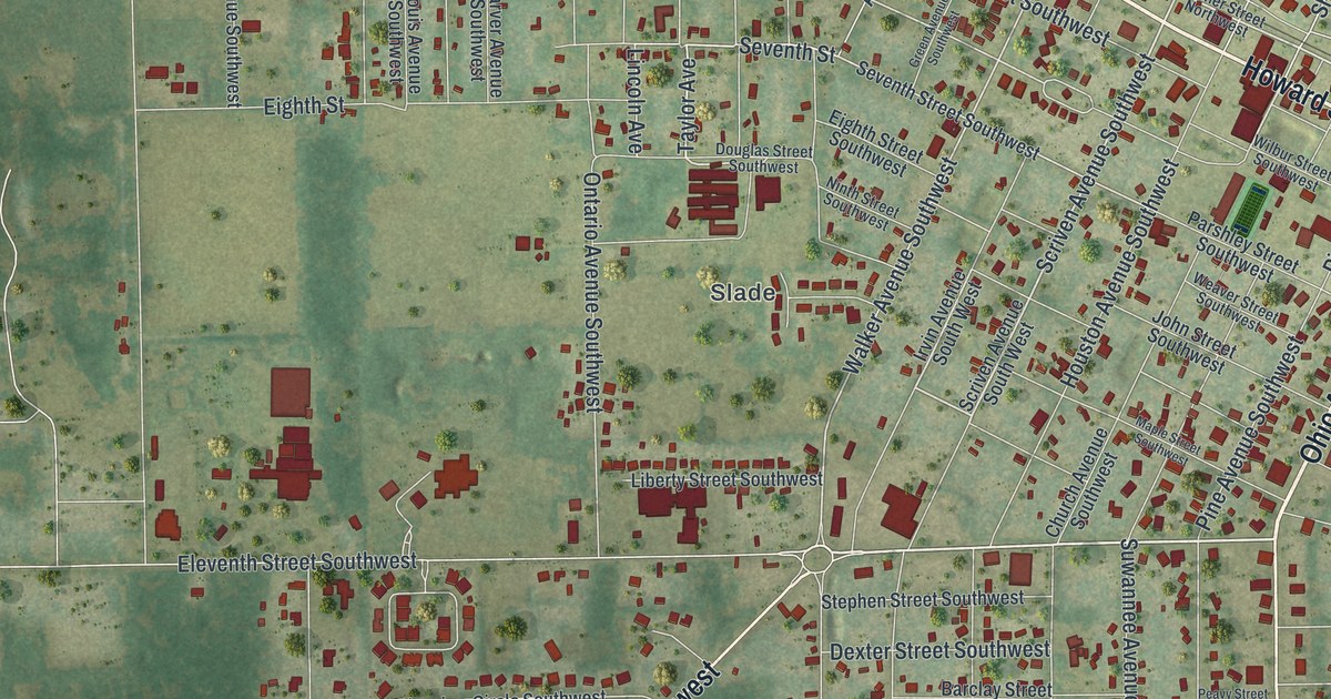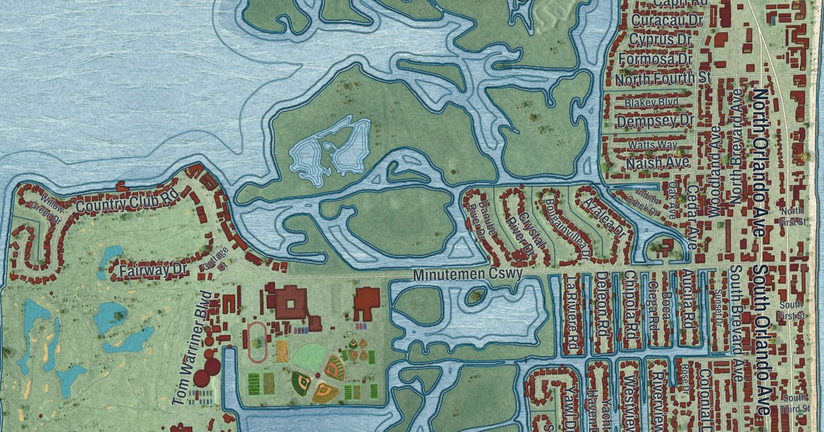
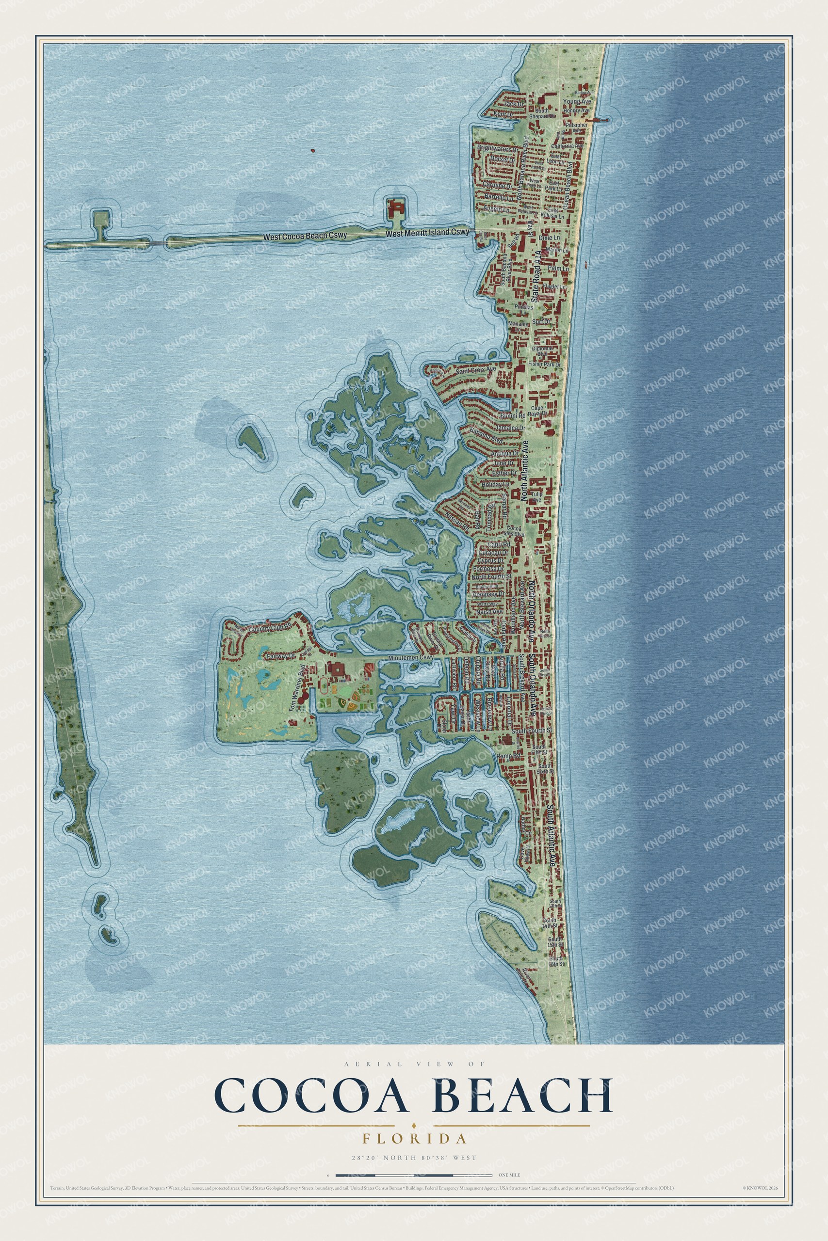
This beautifully detailed map of Cocoa Beach, Florida was created in 2026 using aerial imagery combined with modern topographical, census, street and landmark data. It’s a one-of-a-kind view of Cocoa Beach that combines accurate data with a vintage aesthetic. The map shows every building in its true location, many of the roads carry their names, and the shaded topographic relief shows the shape of the land.
Explore an aerial view of Cocoa Beach, Florida
On the map you’ll find West Cocoa Beach Cswy, West Merritt Island Cswy, and Minutemen Cswy, along with State Road A1A, North Atlantic Avenue, South Atlantic Avenue, South Orlando Avenue, North Orlando Avenue, North Banana River Boulevard, Cedar Avenue, North Fourth Street, South Brevard Avenue, and more. If you look closely you can even find your house accurately drawn in its correct location. Zoom in on the preview to look for yours.
Did You Know?
A German submarine, U-109, torpedoed the ship La Paz off Cocoa Beach on May 1, 1942. Tugs helped the crew run it aground, and it later went back into service. Two days later the same U-boat sank the SS Laertes nearby. The government then ordered a coastal blackout for the rest of the war.
Take a closer look at the Cocoa Beach map
Names on this map
These names are printed on this map.
Streets and roads: West Cocoa Beach Causeway, North Atlantic Avenue, South Atlantic Avenue, West Merritt Island Causeway, South Orlando Avenue, North Orlando Avenue, North Banana River Boulevard, Cedar Avenue, North Fourth Street, Minutemen Causeway, South Brevard Avenue, Ocean Beach Boulevard.
More street names, A to Z
Andros Avenue, Angelo Lane, Antiqua Drive, Aucila Road, Azalea Drive, Bahama Boulevard, Bali Road, Barlow Avenue, Barrello Lane, Bay Street, Belt Road, Bermuda Road, Bimini Road, Blakey Boulevard, Boca Ciega Road, Bougainvillea Drive, Brightwaters Drive, California Avenue, Cape Royal Drive, Capri Road, Carmine Drive, Chipola Road, Cocoa Isles Boulevard, Colonial Drive, Cottage Court, Country Club Road, Cove View Court, Crystal River Drive, Curacau Drive, Cyprus Drive, Danube River Drive, Deleon Road, Dempsey Drive, Diplomat Boulevard, Dixie Lane, Dorset Drive, East Leon Lane, East Park Lane, East Volusia Lane, Esther Drive, Fairway Drive, Fisher Park Drive, Flagler Lane, Formosa Drive, Harbor Circle, Hendry Avenue, Holiday Lane, Indian Creek Drive, Jack Drive, Jamaica Drive, June Drive, Kent Drive, La Riviere Road, Manatee Lane, Marion Lane, Naish Avenue, Nassau Road, North Brevard Avenue, North First Street, Oak Avenue, Palm Avenue, Palm Lane, Pinellas Lane, Pulsipher Avenue, Ramp Road, River Falls Drive, Riverview Lane, Rose Drive, Saint Croix Avenue, Samar Road, Sloop Drive, South 13th Street, South 14th Street, South 15th Street, South 16th Street, South Banana River Boulevard, South Fifth Street, South First Street, South Fourth Street, South Shepard Drive, South Sixth Street, South Third Street, Sunrise Drive, Sunset Drive, Surf Drive, Tom Warriner Boulevard, Trinidad Road, Tulip Avenue, Watts Way, West End Road, West Park Lane, West Pasco Lane, Westview Lane, West Volusia Lane, Willow Green Drive, Woodland Avenue, Yacht Haven Drive, Yawl Drive, Young Avenue.
See it on a wall
The Cocoa Beach map as a framed print. Swipe for more.


This beautifully detailed map of Cocoa Beach makes an attractive addition to your office, library, or den, and it can even be used to teach children the geography and history of the area. It also makes a great gift for anyone with Cocoa Beach roots. When you’re done exploring, click here to get your copy of the Cocoa Beach map.