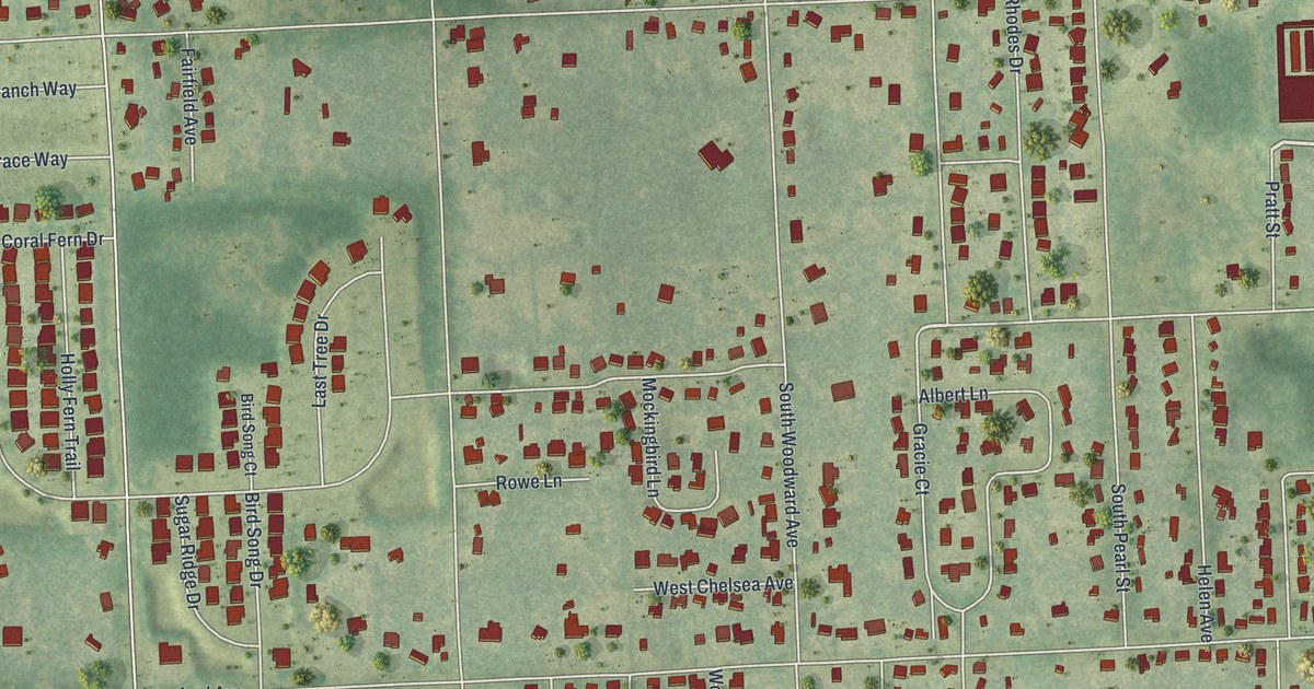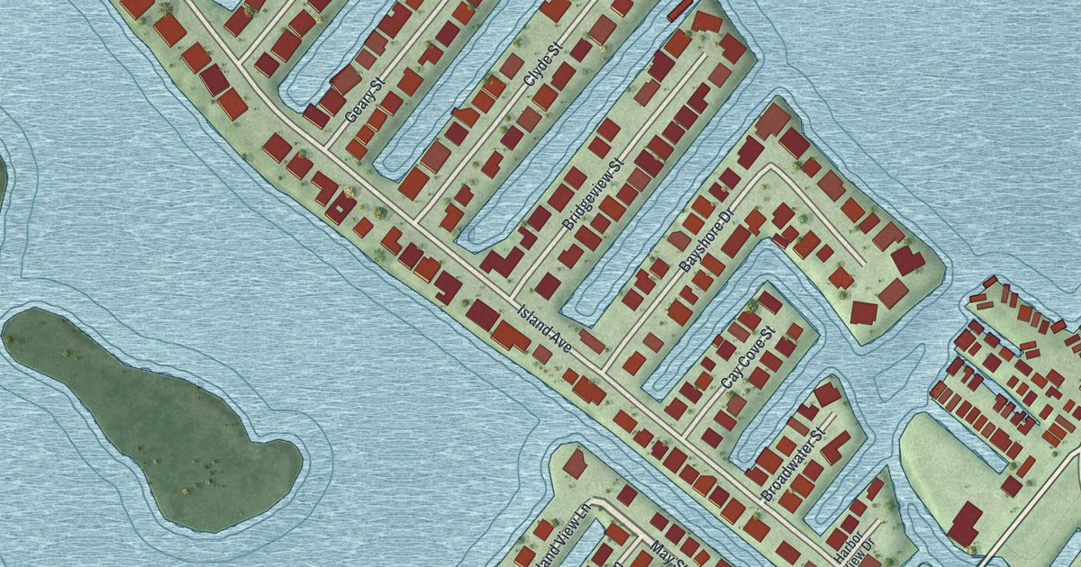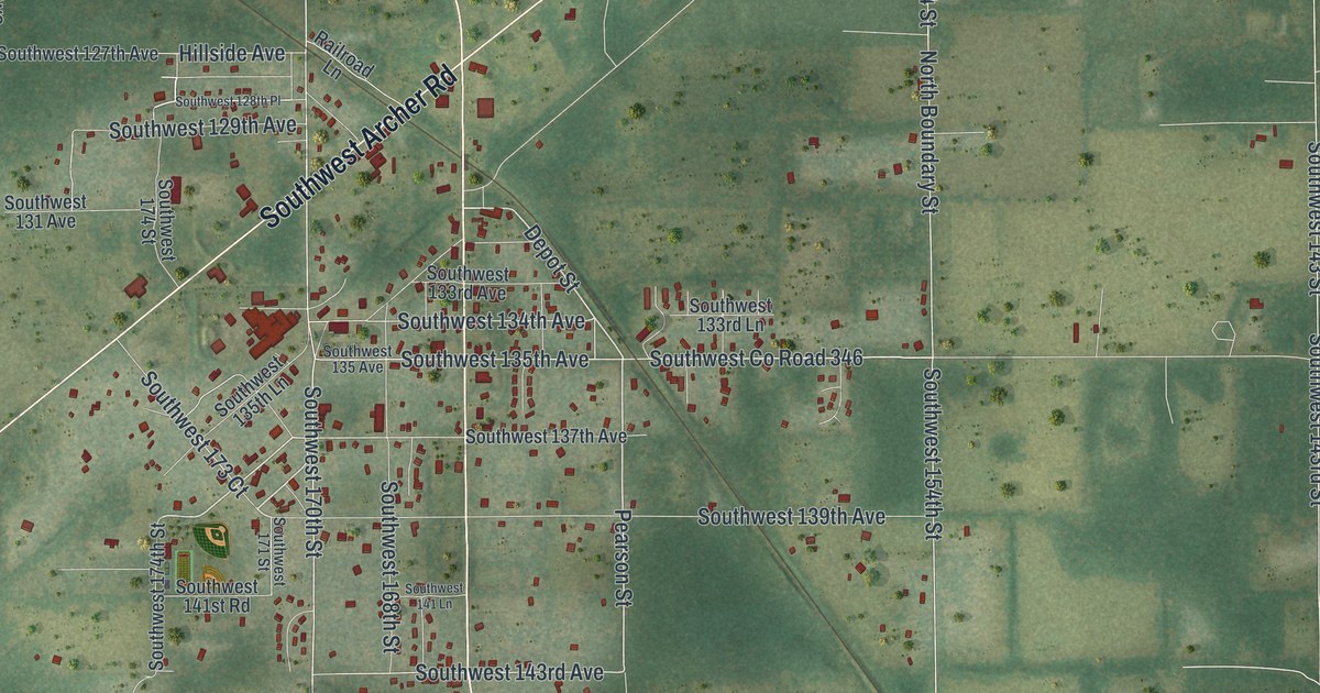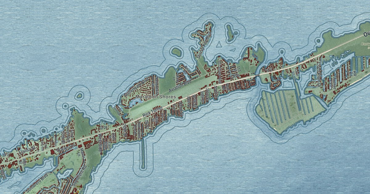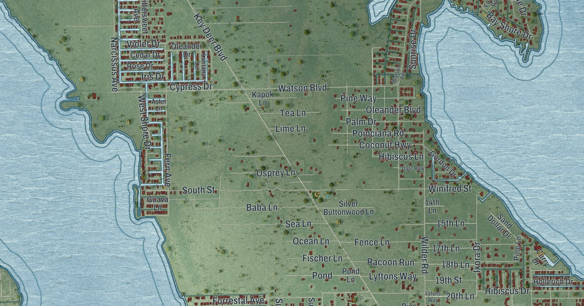
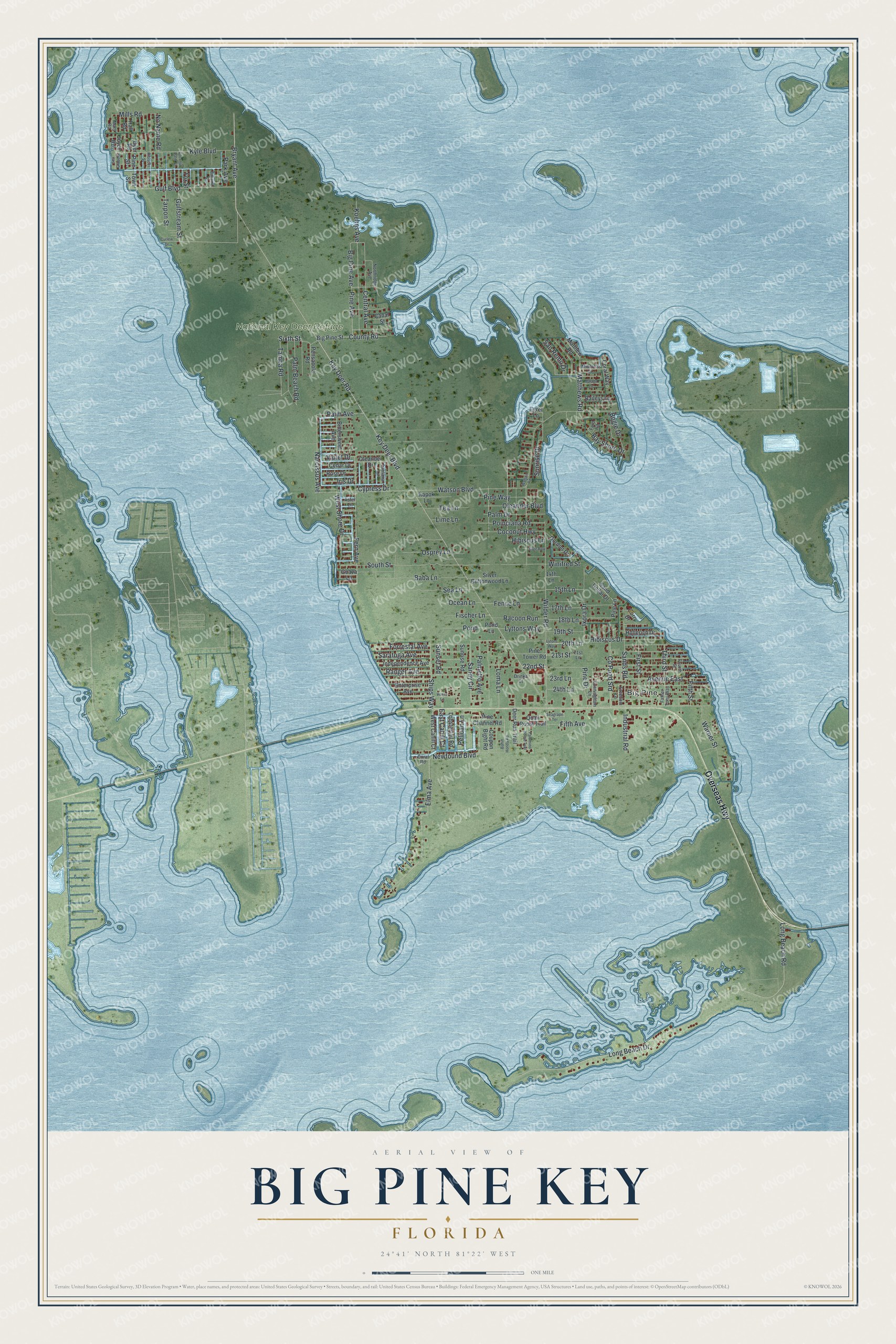
This beautifully detailed map of Big Pine Key, Florida was created in 2026 using aerial imagery combined with modern topographical, census, street and landmark data. It's a modern aerial view of Big Pine Key in Monroe County, Florida, that combines modern data with a vintage aesthetic. The roads feature printed names, and if you look closely you can find your exact house accurately shown in its correct location.
Explore an aerial view of Big Pine Key, Florida
On this map you'll find Big Pine, National Key Deer Refuge, Overseas Highway, Key Deer Boulevard, Bryant Avenue, 21st Street, Key Deer Road, 22nd Street, Tampa Road, Newfound Boulevard, Sunset Road, Elma Avenue, and more. Each red shape is a building, so zoom in on the preview and look for yours.
Big Pine Key has a story worth telling. By 1947 only about 50 of the tiny Key deer were thought to be left. A refuge on leased land came in 1954, and in 1957 Congress passed a bill creating a National Wildlife Refuge for the deer. The refuge's ranger, Jack Watson, became known as Mr. Key Deer. Highway US 1 was later raised, with culverts underneath so the Key deer could cross safely. That's from the Florida Keys History Museum website.
Big Pine Key is a community in Monroe County. The Census Bureau counted 4,521 people here in 2020.
Take a closer look at the Big Pine Key map
Names on this map
These names are printed on this map.
Places: Big Pine and National Key Deer Refuge.
Streets and roads: Overseas Highway, Key Deer Boulevard, Bryant Avenue, 21st Street, Key Deer Road, 22nd Street, Tampa Road, Newfound Boulevard, Sunset Road, Elma Avenue, Lyttons Way, Palm Avenue.
More street names, A to Z
14th Lane, 15th Lane, 17th Lane, 18th Lane, 19th Street, 20th Lane, 21st Lane, 23rd Lane, 24th Lane, Aster Lane, Avenue East, Baba Lane, Bahama Street, Bahih Honda Road, Baileys Lane, Bay Shore Drive, Big Pine Avenue, Big Pine Street, Bittersweet Avenue, Bogie Drive, Canal Street, Cedar Drive, Central Avenue, Coconut Highway, Coconut Palm Street, Coral Road, Coral Way, County Road, County Road Srd, Coupon Bight Road, Cunningham Lane, Curlew Drive, Curry Drive, Cypress Drive, Date Row, Deer Run Trail, Drinka Court, Dyer Road, East Cahill Court, Egret Lane, Enterprise Avenue, Father Tony Way, Fence Lane, Fern Avenue, Fifth Avenue, Fifth Street, First Street, Fischer Lane, Ford Road, Forrestal Avenue, Fourth Street, Fox Street, Freedom Lane, Gordon Drive, Guava Lane, Gulf Boulevard, Gulfstream Street, Hall Road, Henry Lane, Hibiscus Drive, Hibiscus Lane, Hibiscus Street, Hollerich Drive, Independence Avenue, Industrial Road, Iris Drive, Ixora Drive, Joyce Road, Kapok Lane, Koehns Avenue, Kyle Boulevard, Lantana Lane, Lime Lane, Lobstertail Road, Loma Lane, Long Beach Drive, Long Beach Road, Lytons Way, Malaga Lane, Mary Road, Matthew Road, Matthews Road, Mills Road, Minorca Drive, Narcissus Avenue, No Name Road, Northridge Avenue, Ocean Lane, Oleander Boulevard, Oleander Drive, Osprey Lane, Palm Beach Road, Palm Drive, Palmetto Avenue, Palomino Horse Trail, Park Avenue, Pelican Lane, Pensacola Road, Pine Avenue, Pine Channel Road, Pine Drive, Pine Lane, Pine Street, Pine Tower Road, Pine Way, Poinciana Road, Pond, Pond Lane, Quail Roost Trail, Racoon Run, Ranger Avenue, Rose Drive, Sand Dollar Drive, Sands Road, Sandy Circle, San Remo Drive, Saratoga Avenue, Sea Grape Street, Seagrape Terrace, Sea Lane, Ships Way, Silver Buttonwood Lane, Sixth Street, South Street, Sunrise Drive, Sunrise Road, Tarpon Street, Tea Lane, Third Street, Town Street, Violet Drive, Warner Street, Watson Boulevard, Watson Road, West Cahill Court, West Shore Drive, Wilder Road, Winifred Street.
See it on a wall
The Big Pine Key map as a framed print. Swipe for more.


Created by KNOWOL in 2026. The buildings are small red shapes, the roads carry their printed names, and shaded relief shows the shape of the land. The title panel reads "AERIAL VIEW OF BIG PINE KEY, FLORIDA" with 24°41' NORTH 81°22' WEST.
It looks right in a kitchen, an office or a den, and it's a gift for anyone who grew up in Big Pine Key or moved away. Open the preview and find your street. See sizes and frames for the Big Pine Key map.