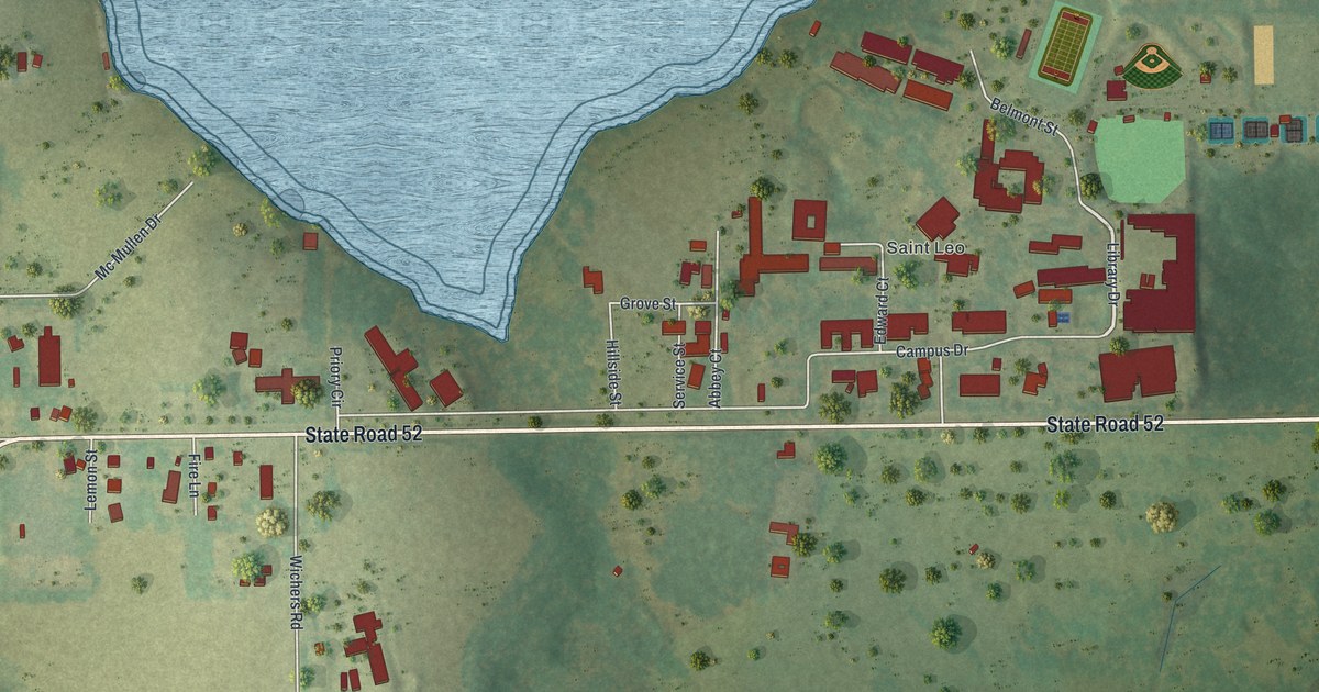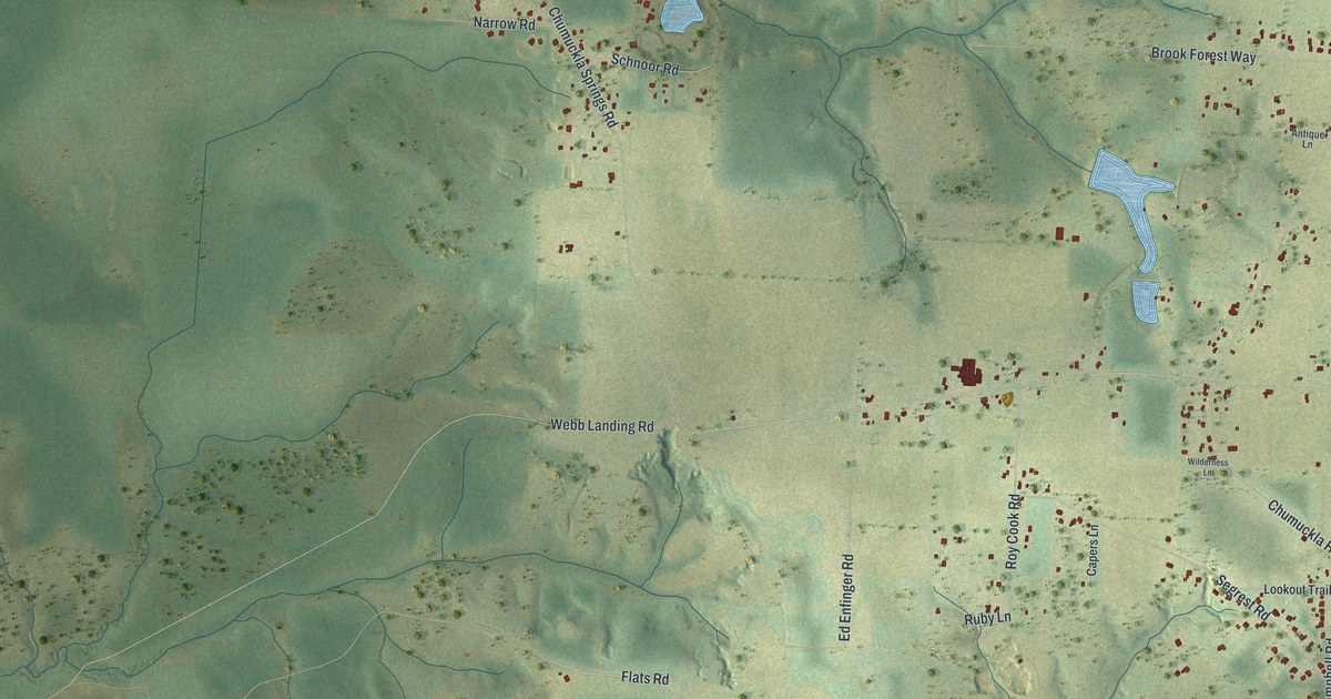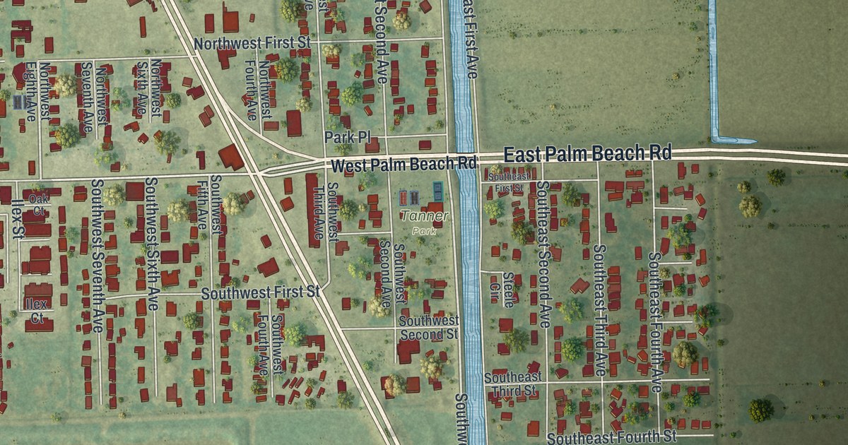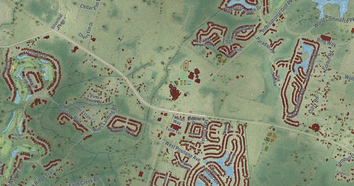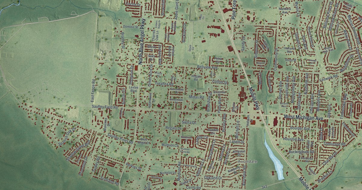
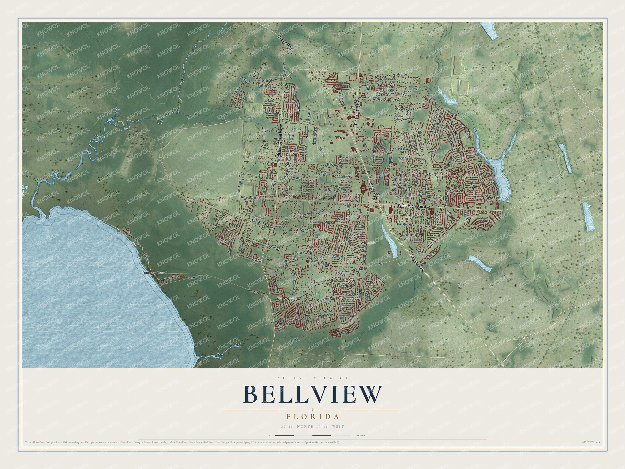
This beautifully detailed map of Bellview, Florida was created in 2026 using aerial imagery combined with modern topographical, census, street and landmark data. It's a modern aerial view of Bellview in Escambia County, Florida, that combines modern data with a vintage aesthetic. The roads feature printed names, and if you look closely you can find your exact house accurately shown in its correct location.
Explore an aerial view of Bellview, Florida
On this map you'll find Ramsey Beach, Cerny Heights, Avondale, Pine Forest Road, Mobile Highway, West Michigan Avenue, North Blue Angel Parkway, Makai Drive, Saufley Field Road, Timberlake Mhp, Bay Forest Drive, Dallas Avenue, and more. Each red shape is a building, so zoom in on the preview and look for yours.
Bellview is a community in Escambia County. The Census Bureau counted 25,541 people here in 2020. Bellview sits about 3 miles north of Myrtle Grove, 4 miles west of Brent and 4 miles northwest of West Pensacola. The map prints the town name in its title panel, with the coordinates below it.
Take a closer look at the Bellview map
Names on this map
These names are printed on this map.
Places: Ramsey Beach, Cerny Heights and Avondale.
Streets and roads: Pine Forest Road, Mobile Highway, West Michigan Avenue, North Blue Angel Parkway, Makai Drive, Saufley Field Road, Timberlake Mhp, Bay Forest Drive, Dallas Avenue, Pin High Drive, Cerny Road, Brownfield Drive.
More street names, A to Z
Addie Gant Lane, Alekai Drive, Alicante Street, Apple Ridge Circle, Apple Ridge Drive, Ariel Court, Avondale Road, Balboa Drive, Bankhead Drive, Baronne Street, Bellview Avenue, Bellview Pines Place, Bellview Pines Road, Ben Sasser Drive, Bent Oak Road, Bilek Drive, Black Oak Place, Black Oak Trail, Blue Angel Court, Boulder Avenue, Bradley Street, Bradshaw Drive, Bradshaw Street, Breckenridge Drive, Bridget Lane, Brownfield Road, Broyhill Lane, Bruner Street, Buckingham Road, Buckland Drive, Caddy Shack Lane, Cameron Drive, Cayenne Way, Cdear Lake Drive, Cedar Lake Circle, Cedar Lake Drive, Cedar Ridge Drive, Char Bar Drive, Charred Oak Lane, Chicago Avenue, Chicago Court, Christine Street, Christopher Street, Clara Street, Clegg Road, Cocoa Drive, Community Drive, Cotton Road, Cotton Street, Creole Way, Crowson Road, Cycle Drive, Dandelion Lane, Deerwood Road, Denver Avenue, Devin Circle, Dominic Street, Donley Street, Dover Avenue, Dunn Street, East Fence Road, El Cino Drive, Embers Ridge Drive, English Oak Circle, Erika Court, Esperanto Drive, Falcon Drive, Falcon Lane, Farris Avenue, Fenwick Road, Flintlock Drive, Footprint Drive, Forest Pines Drive, Foster Street, Franks Court, Galvin Avenue, Genevive Court, Glendora Street, Godwin Lane, Graymont Lane, Green Acre Drive, Green Bay Avenue, Greenwell Street, Gwen Circle, Hanover Drive, Hayward Avenue, Hermosa Circle, Hesperia Way, Hillcrest Avenue, Hobson Lane, Hogan Road, Houston Avenue, Huntsville Avenue, Indiana Avenue, Jaker Lane, Jarada Avenue, Kainui Drive, Kimberly Drive, Kingston Drive, King Street, Klondike Road, La Ceiba Drive, Lanett Drive, Lanette Circle, La Rosa Street, Las Brisas Drive, La Ventana Drive, Lenora Court, Lenora Street, Lexlee Boulevard, Liana Lane, Longleaf Drive, Louisville Avenue, Makenna Drive, Marcus Pointe Boulevard, Marlane Drive, Memphis Avenue, Mers Lane, Mesquite Drive, Midas Road, Midland Park Drive, Milford Road, Milford Street, Millview Road, Mitchell Lane, Montgomery Avenue, Moore Avenue, Muldoon Circle, Muldoon Pointe Road, Muldoon Road, Mystic Lane, Nandora Avenue, Nashville Avenue, Nicholas Lane, Oakcalla Drive, Oakcliff Road, Oakland Drive, Ormond Drive, Pam Avenue, Parda Boulevard, Partridge Drive, Patricia Drive, Pawnee Drive, Peninsula Drive, Perkins Street, Petra Circle, Plumiera Place, Princess Lane, Princeton Drive, Prissy Street, Pullman Circle, Pursley Avenue, Quarter Deck Street, Randee Circle, Regalo Drive, Roble Loma Drive, Saltillo Street, Sandy Lane, Santa Barbara Street, Saufley Pines Road, Scotland Road, Scotts Place, Seitz Drive, Sequoia Circle, Shadow Grove Boulevard, Shelly Street, Sherry Lane, Sierra Drive, Simpson Street, Somerset Drive, South Gulf Manor, Spanish Oak Drive, Stevendale Drive, Stevendale Road, Suntan Circle, Tallship Lane, Talquin Avenue, Temple Lane, Tinosa Circle, Tomlinson Road, Treahna Road, Tributary Street, Tryton Circle, Tucson Avenue, Turkey Road, Valley Escondido Drive, Velma Drive, Ventura Lane, Vestavia Lane, Villenauve Lane, Wasatch Range Loop, West Shore Drive, Westwind Circle, White Pine Drive, Wickford Lane, Windsor Oak Drive, Windstone Drive, Yellow Rose Drive, Zachary Boulevard.
See it on a wall
The Bellview map as a framed print. Swipe for more.


Created by KNOWOL in 2026. The buildings are small red shapes, the roads carry their printed names, and shaded relief shows the shape of the land. The title panel reads "AERIAL VIEW OF BELLVIEW, FLORIDA" with 30°28' NORTH 87°18' WEST.
Hang it in the hallway, the office or the cabin, or give it to someone who left Bellview and still calls it home. Open the preview and look for a street you know. See sizes and frames for the Bellview map.