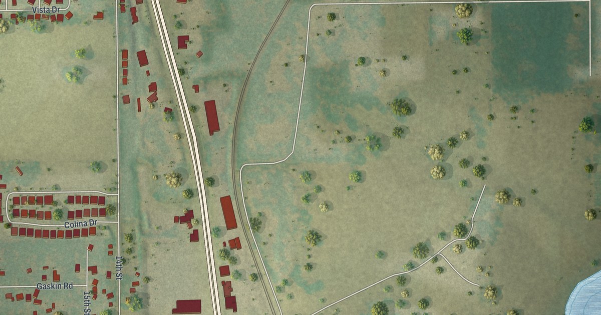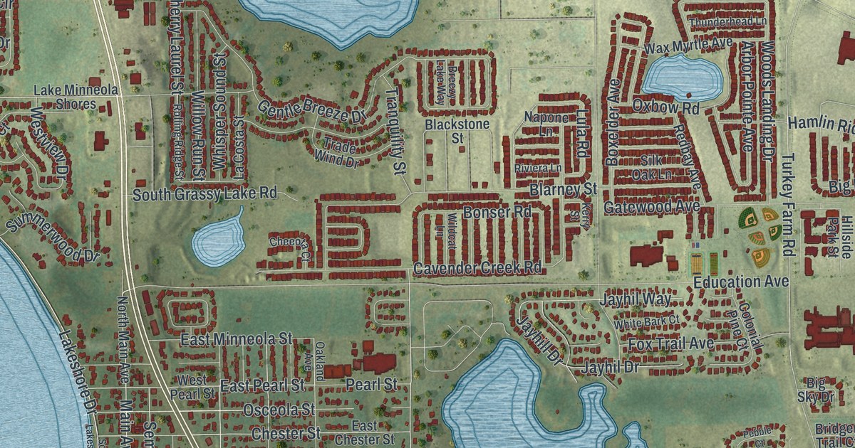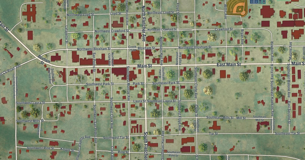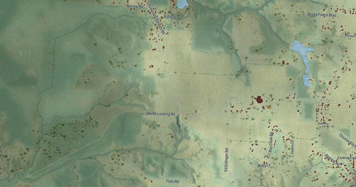
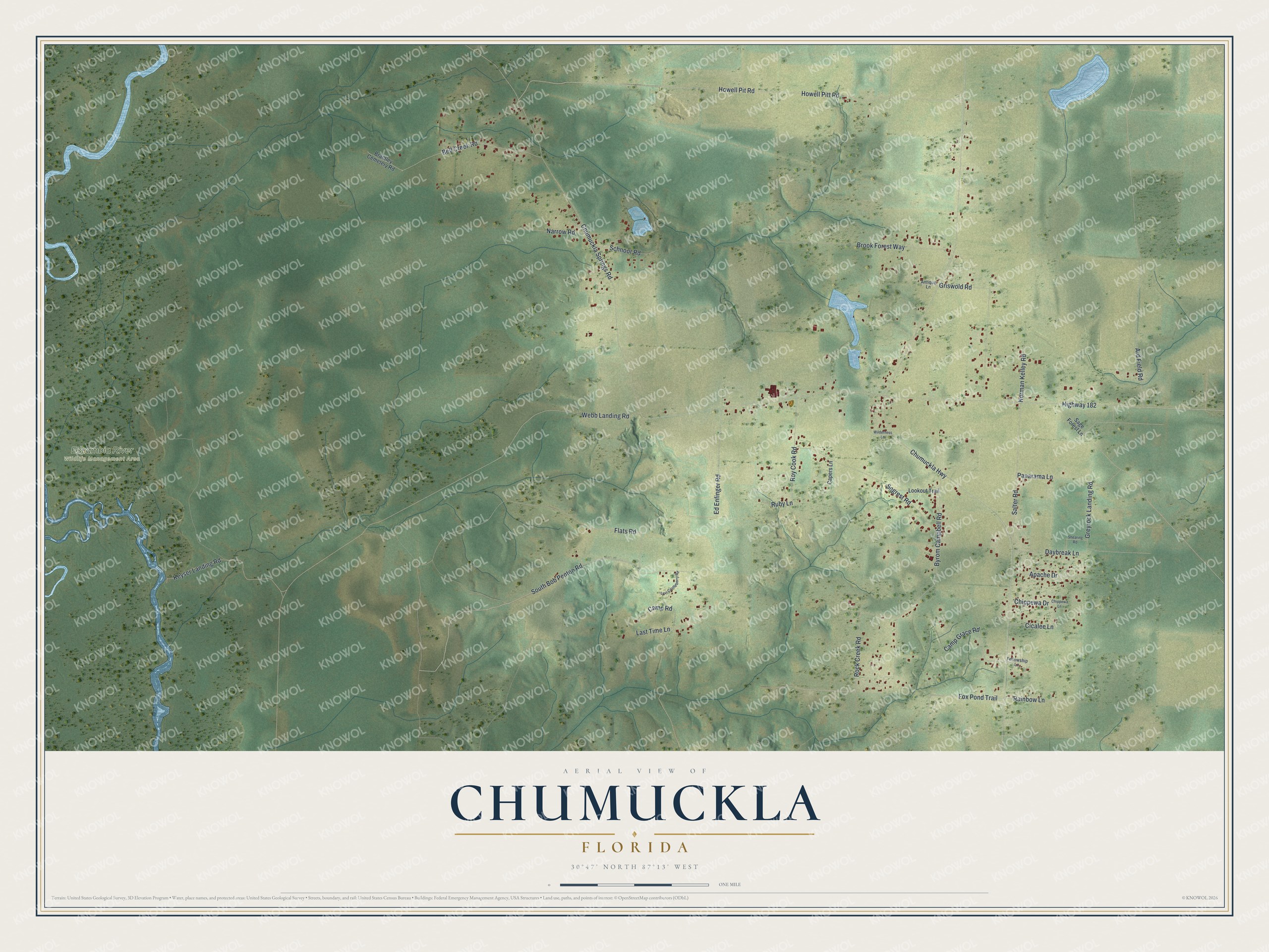
This beautifully detailed map of Chumuckla, Florida was created in 2026 using aerial imagery combined with modern topographical, census, street and landmark data. It's a modern aerial view of Chumuckla in Santa Rosa County, Florida, that combines modern data with a vintage aesthetic. The roads feature printed names, and if you look closely you can find your exact house accurately shown in its correct location.
Explore an aerial view of Chumuckla, Florida
On this map you'll find Escambia River Wildlife Management Area, Flats Road, South Bob Penton Road, Salter Road, Fox Pond Trail, Chumuckla Highway, Highway 182, Howell Pit Road, Howell Pitt Road, Chumuckla Springs Road, Ard Field Road, Byrom Campbell Road, and more. Each red shape is a building, so zoom in on the preview and look for yours.
Here is a piece of Chumuckla history. Chumuckla was once called Chumuckla Springs, and the Federal Writers Project said the McDavid family settled it. The name may come from Hitchiti words meaning deer den or deer retreat, or from a Creek word meaning to bow the head to the ground. That's from the book Florida Place Names by Allen Morris.
Chumuckla is a community in Santa Rosa County. The Census Bureau counted 1,063 people here in 2020.
Take a closer look at the Chumuckla map
Names on this map
These names are printed on this map.
Places: Escambia River Wildlife Management Area.
Streets and roads: Flats Road, South Bob Penton Road, Salter Road, Fox Pond Trail, Chumuckla Highway, Highway 182, Howell Pit Road, Howell Pitt Road, Chumuckla Springs Road, Ard Field Road, Byrom Campbell Road, Segrest Road.
More street names, A to Z
Antique Lane, Apache Drive, Bell Creek Road, Brantley Cemetery Road, Brook Forest Way, Camp Grace Road, Camp Road, Capers Lane, Chippewa Drive, Chippewa Lane, Cicalee Lane, Daybreak Lane, Ed Enfinger Road, Fellowship Lane, Greyrock Landing Road, Griswold Road, Keyser Landing Road, Last Time Lane, Levi Castleberry Road, Lookout Trail, Narrow Road, Norman Kelley Road, Panarama Lane, Rainbow Lane, Rock Creek Road, Roy Cook Road, Ruby Lane, Sage Forest Lane, Schnoor Road, Shearing Road, Webb Landing Road, Wilderness Lane.
See it on a wall
The Chumuckla map as a framed print. Swipe for more.


Created by KNOWOL in 2026. The buildings are small red shapes, the roads carry their printed names, and shaded relief shows the shape of the land. The title panel reads "AERIAL VIEW OF CHUMUCKLA, FLORIDA" with 30°47' NORTH 87°13' WEST.
It suits a den, a classroom or a front hall, and it makes a gift for anyone with Chumuckla roots. Open the preview and find the block you know. See sizes and frames for the Chumuckla map.