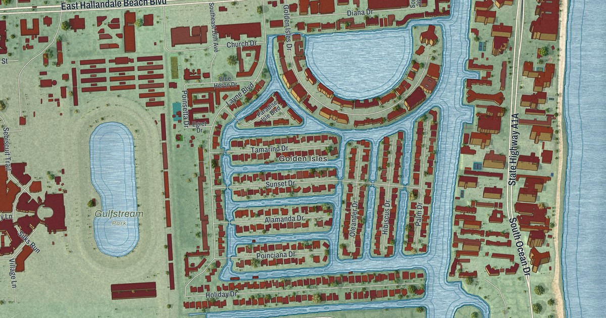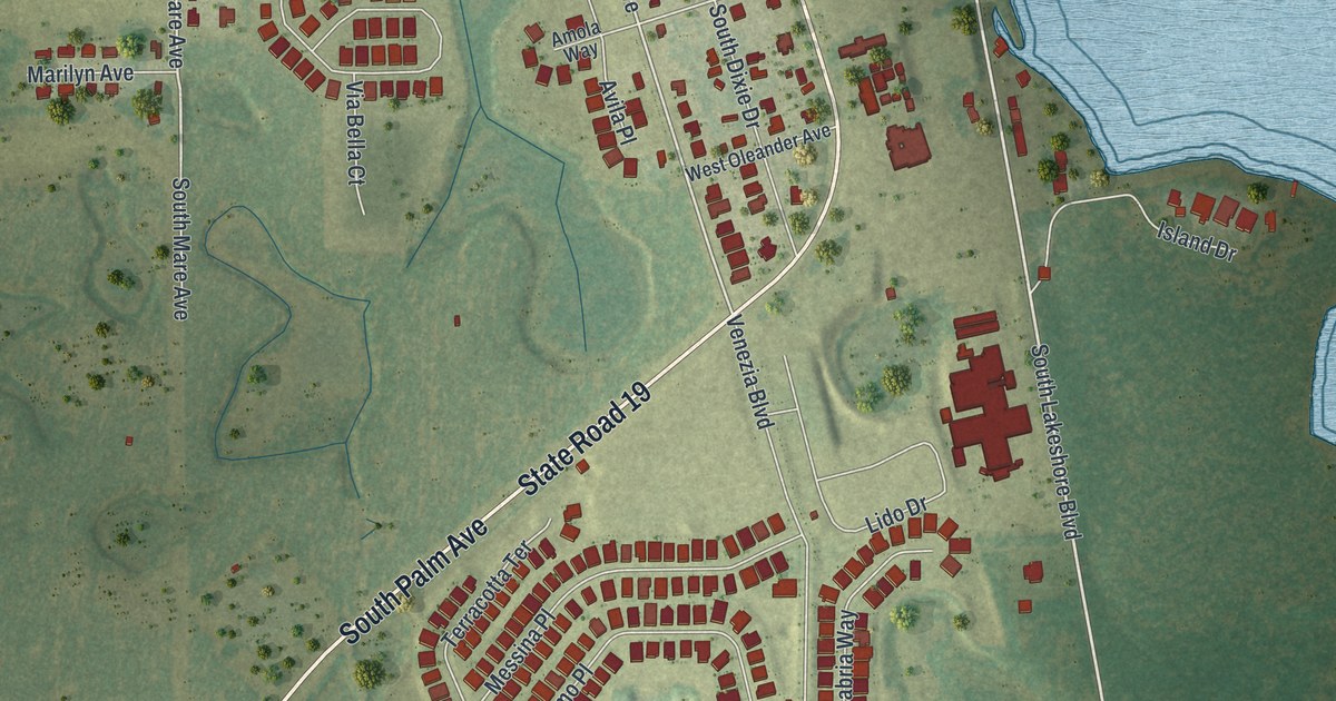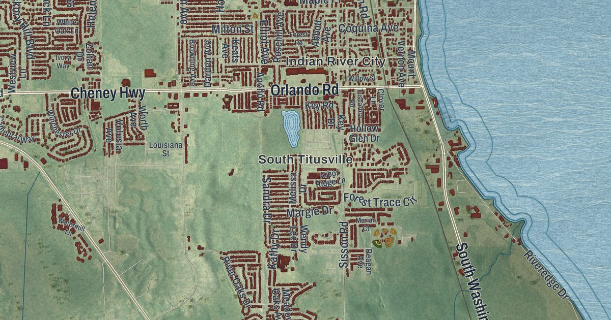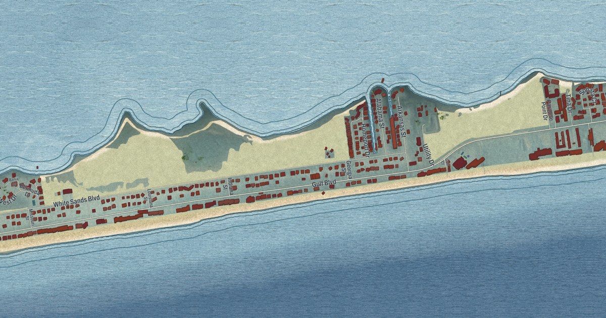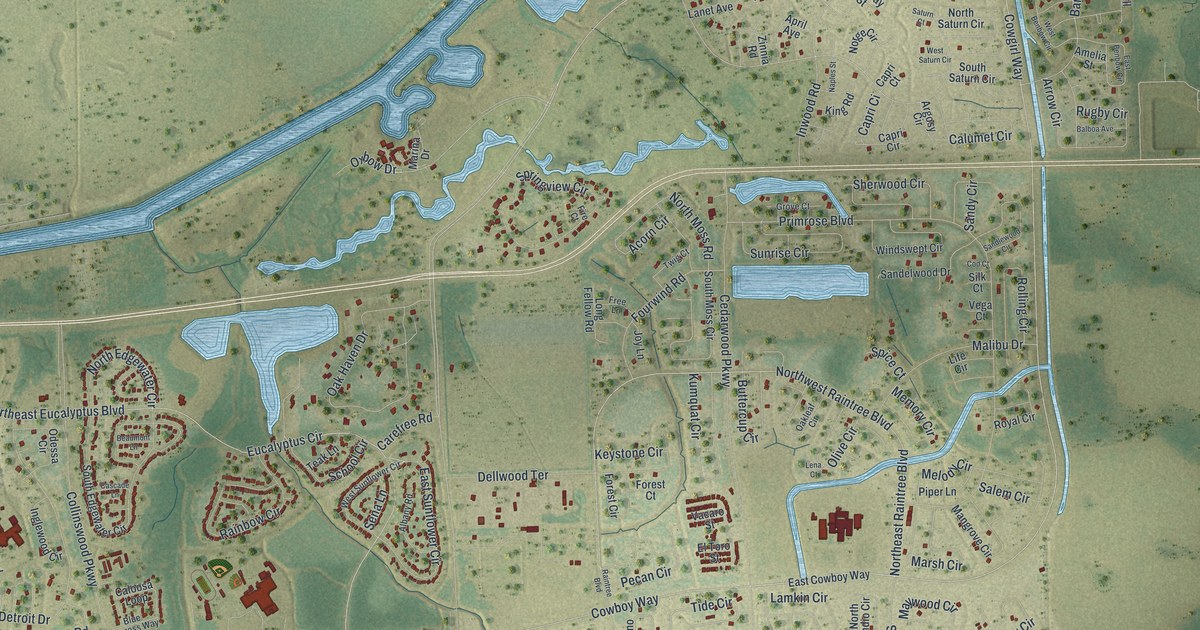
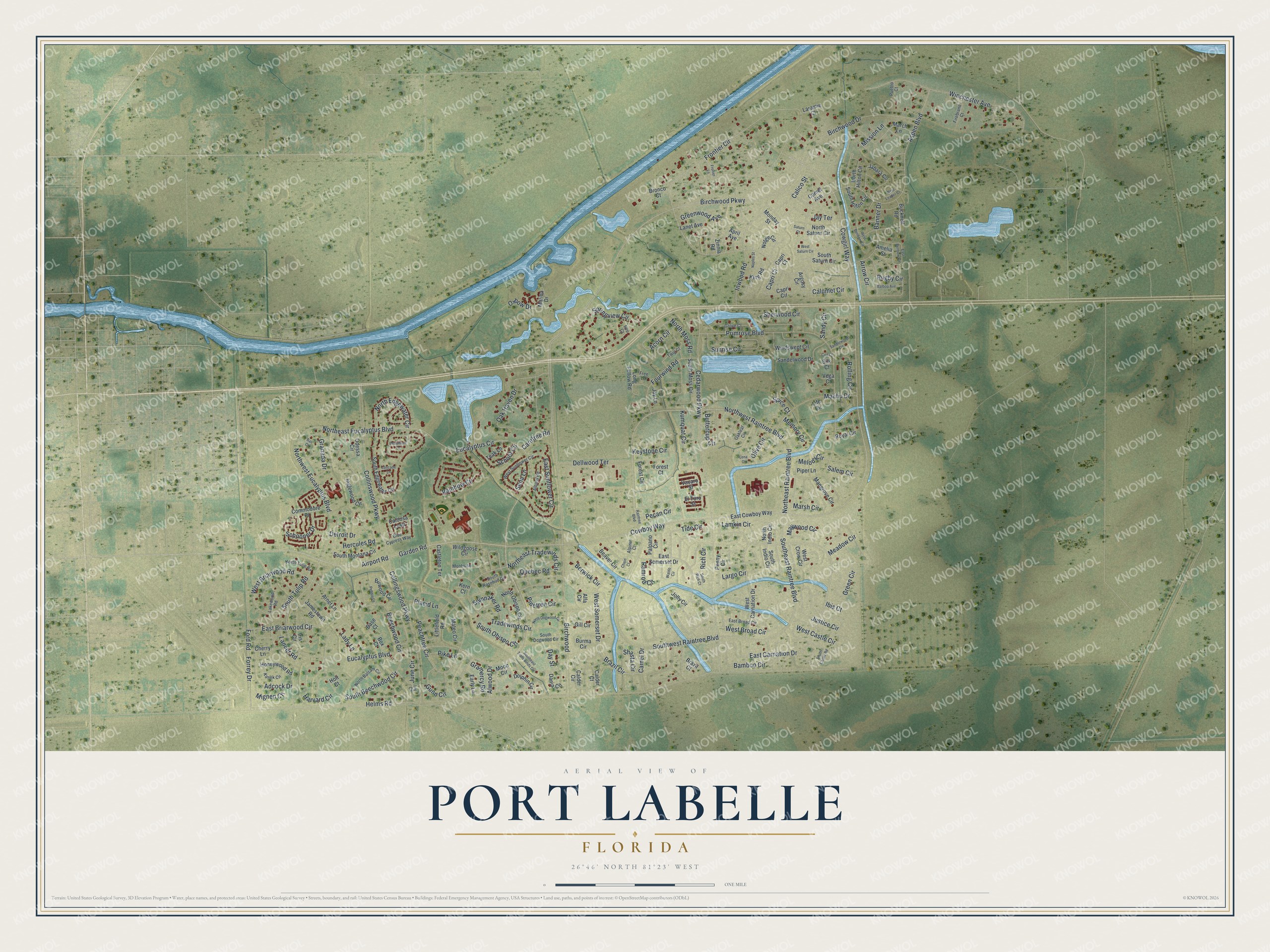
This beautifully detailed map of Port LaBelle, Florida was created in 2026 using aerial imagery combined with modern topographical, census, street and landmark data. It's a modern aerial view of Port LaBelle in Hendry County, Florida, that combines modern data with a vintage aesthetic. The roads feature printed names, and if you look closely you can find your exact house accurately shown in its correct location.
Explore an aerial view of Port LaBelle, Florida
On this map you'll find Rich Circle, Birchwood Parkway, Cowgirl Way, Cowboy Way, Tide Circle, Airport Road, Northeast Tradewinds Circle, West Somerset Drive, Birchwood, East Briarwood Circle, Camel Drive, Frontier Circle, and more. Each red shape is a building, so zoom in on the preview and look for yours.
Every town has a first chapter, and Port LaBelle is no exception. Fort Thompson, on the Caloosahatchee River, began about 1838 as an army post in the Second Seminole War, named for Lieutenant Colonel Alexander Thompson. During the Civil War, Confederates used the site to raise cattle for their troops. In 1879 Captain Francis Asbury Hendry acquired the property, and the town of LaBelle grew up along the western edge of his cattle ranch. That's from the Florida Division of Historical Resources.
Port LaBelle is a community in Hendry County. The Census Bureau counted 5,450 people here in 2020.
Take a closer look at the Port LaBelle map
Names on this map
These names are printed on this map.
Streets and roads: Rich Circle, Birchwood Parkway, Cowgirl Way, Cowboy Way, Tide Circle, Airport Road, Northeast Tradewinds Circle, West Somerset Drive, Birchwood, East Briarwood Circle, Camel Drive, Frontier Circle.
More street names, A to Z
Acorn Circle, Adcock Drive, Albany Road, Alfa Circle, Alpine Court, Alwood Drive, Amelia Street, April Avenue, Argosy Circle, Arnet Lane, Arrow Circle, Aspen Boulevard, Balboa Avenue, Bali Court, Bamboo Circle, Banner Drive, Base Court, Beaumont Lane, Beaver Circle, Beechwood Circle, Berwick Circle, Birchwood Drive, Birwood Circle, Blue Cypress Way, Box Court, Brazil Circle, Brazil Court, Bronco Court, Bucknell Road, Burma Circle, Buttercup Circle, Calder Circle, Calder Court, Calico Street, Caloosa Loop, Calumet Circle, Capri Ci, Capri Circle, Capri Court, Carefree Road, Cascade Lane, Castleton Terrace, Cedarwood Parkway, Chain Court, Cherry Lane, Cod Court, Collingswood Parkway, Collinswood Parkway, Comet Avenue, Commodore Place, Dania Circle, Day Street, Dellwood Terrace, Detroit Drive, Dolphin Circle, Early Lane, East Benbow Circle, East Broad Circle, East Carnation Drive, East Cowboy Way, East Somerset Drive, East Sunflower Circle, El Toro Street, Eucalyptus Boulevard, Eucalyptus Circle, Firebrand Court, Fire Court, Ford Road, Forest Circle, Forest Court, Forrey Drive, Fourwind Road, Free Lane, Fronier Lane, Garden Road, Gill Circle, Gramercy Road, Granada Drive, Green Circle, Greenwood Avenue, Grove Court, Gunn Circle, Harvard Circle, Helms Road, Hercules Road, Holt Court, Honeywood Road, Ibis Court, Inglewood Circle, Inwood Road, Iris Circle, Ivy Court, Jabara Circle, Jamestown Road, Jay Terrace, Jolly Circle, Joy Lane, June Circle, Justice Circle, Kanek Circle, Kern Court, Keystone Circle, King Road, Kumquat Circle, Lady Lane, Lakewood Road, Lamkin Circle, Lancer Road, Lanet Avenue, Laramie Court, Largo Circle, Lena Court, Life Circle, Littlefield Road, Long Fellow Road, Malibu Drive, Mangrove Circle, March Lane, Marina Drive, Marsh Circle, Mateo Circle, Maywood Circle, Meadow Circle, Melody Circle, Memory Circle, Mignen Circle, Mission Lane, Monday Street, Montrose Lane, Moon Circle, Naples Street, Norge Circle, North Balsam Circle, North Dogwood Circle, Northeast Eucalyptus Boulevard, Northeast Raintree Boulevard, North Edgewater Circle, North Hilton Circle, North Indio Circle, North Moss Road, North Obispo Circle, North Saturn Circle, North Tulip Road, Northwest Eucalyptus Boulevard, Northwest Raintree Boulevard, Oak Haven Drive, Oakleaf Circle, Odessa Circle, Olive Circle, Oxbow Drive, Palpano Circle, Peachtree Circle, Pebble Lane, Pecan Circle, Penny Circle, Pike Lane, Pinetree Circle, Piper Lane, Placid Lane, Primrose Boulevard, Pueblo Court, Quebec Road, Rainbow Circle, Raintree Boulevard, Ramrod Circle, Rolling Circle, Royal Circle, Rugby Circle, Salem Circle, Sandelwood Drive, Sandlewood Circle, Sandy Circle, Saturn Court, School Circle, Schooner Drive, Sena Lane, Shasta Circle, Sherwood Circle, Silk Court, South Beechwood Circle, South Castle Road, South Dogwood Circle, Southeast Raintree Boulevard, Southeast Tradewinds Circle, South Edgewater Circle, South Hilton Circle, South Indio Circle, South Montana Circle, South Moss Circle, South Obispo Circle, South Rich Court, South Rosebud Circle, South Saturn Circle, South Tulip Road, Southwest Raintree Boulevard, Spice Court, Spinnaker Road, Springview Circle, Sunrise Circle, Teak Lane, Tradewinds Circle, Twig Court, Vacaro Street, Vega Court, Waldo Circle, West Benbow Circle, West Briarwood Road, West Broad Circle, West Carnation Drive, West Castle Circle, West Crow Circle, West Leader Court, West Saturn Circle, West Sunflower Circle, Wildgoose Circle, Winchester Avenue, Windswept Circle, Zinnia Road.
See it on a wall
The Port LaBelle map as a framed print. Swipe for more.


Created by KNOWOL in 2026. The buildings are small red shapes, the roads carry their printed names, and shaded relief shows the shape of the land. The title panel reads "AERIAL VIEW OF PORT LABELLE, FLORIDA" with 26°46' NORTH 81°23' WEST.
Hang it in the hallway, the office or the cabin, or give it to someone who left Port LaBelle and still calls it home. Open the preview and look for a street you know. See sizes and frames for the Port LaBelle map.