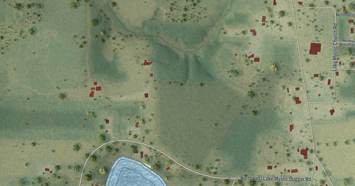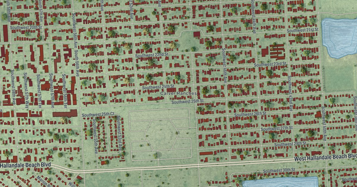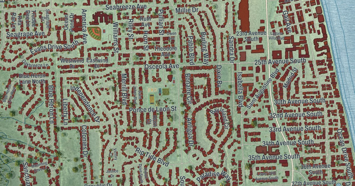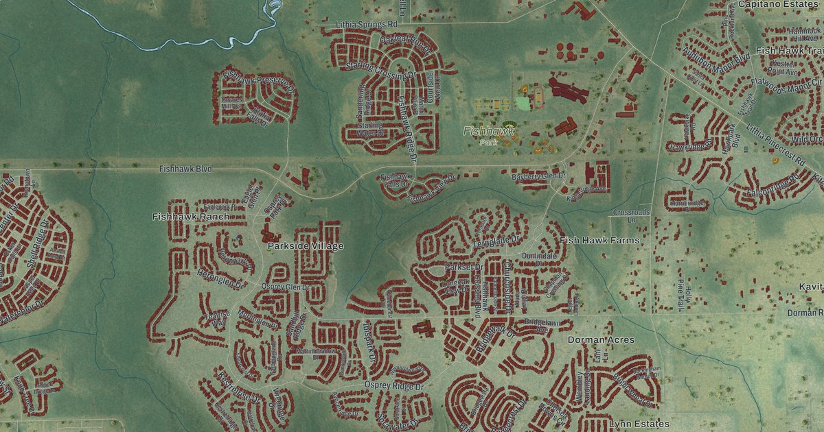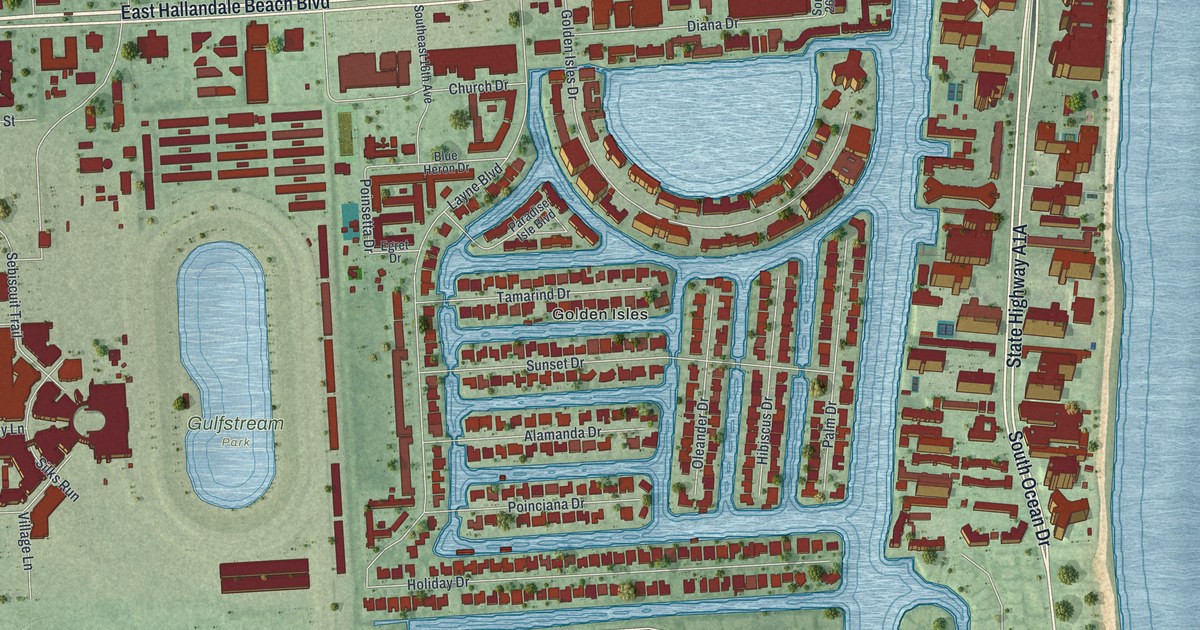
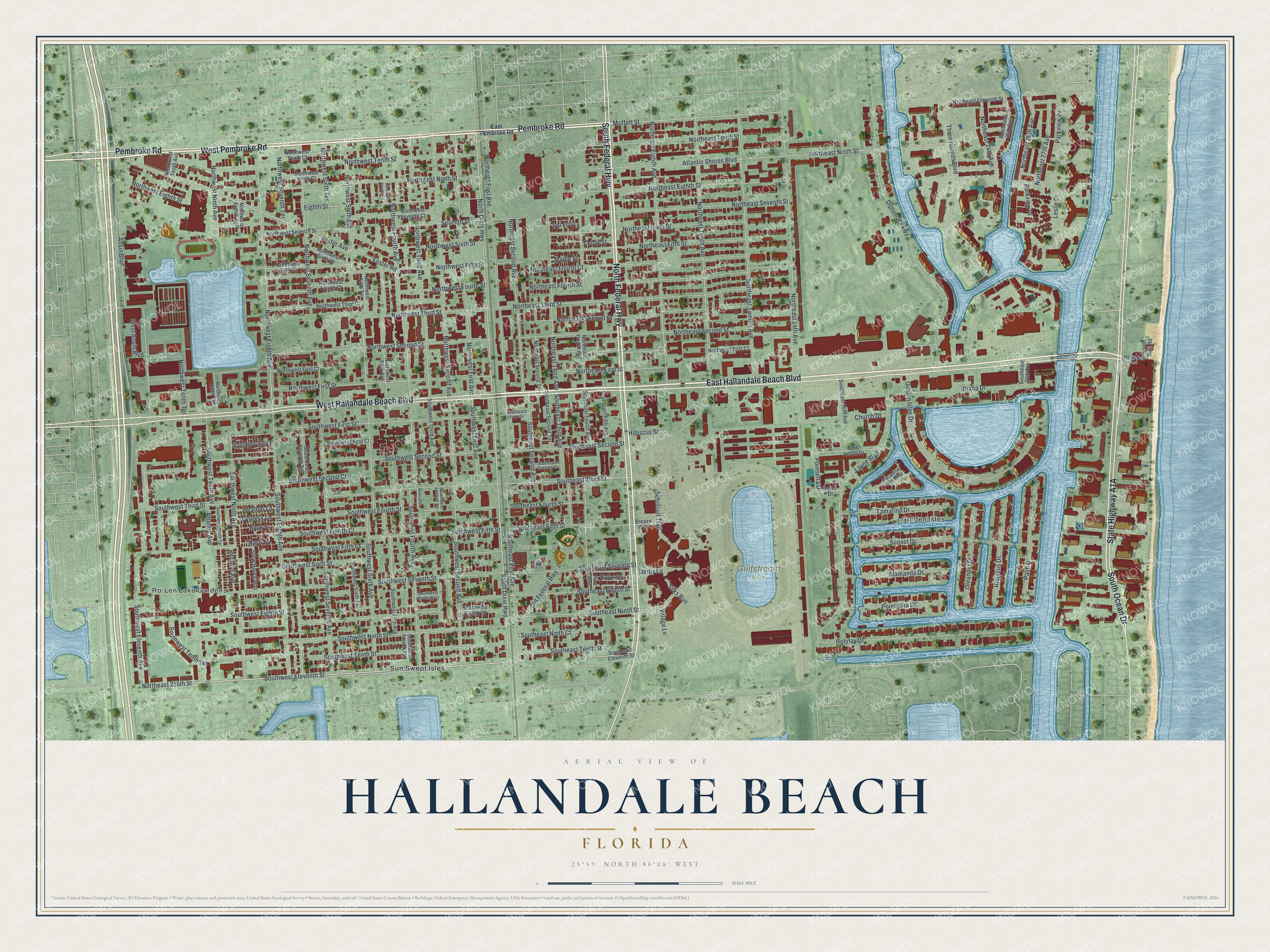
This beautifully detailed map of Hallandale Beach, Florida was created in 2026 using aerial imagery combined with modern topographical, census, street and landmark data. It’s a one-of-a-kind view of Hallandale Beach that combines accurate data with a vintage aesthetic. The map shows every building in its true location, many of the roads carry their names, and the shaded topographic relief shows the shape of the land.
Explore an aerial view of Hallandale Beach, Florida
On the map you’ll find Ro-Len Lake Gardens, Gulfstream Park, Peter Bluesten Park, Golden Isles, and Sun Swept Isles, along with East Hallandale Beach Boulevard, Pembroke Road, North Federal Highway, South Federal Highway, West Pembroke Road, West Hallandale Beach Boulevard, South Ocean Drive, and more. If you look closely you can even find your house accurately drawn in its correct location. Zoom in on the preview to look for yours.
Did You Know?
Railroad builder Henry Flagler recruited Luther Halland to found a settlement south of Dania. Halland and Swedish immigrant Olaf Zetterlund promoted its frost-free climate and cheap land. Halland opened a small trading post and served as the first postmaster. The place was first called Halland and later Hallandale.
Take a closer look at the Hallandale Beach map
Names on this map
These names are printed on this map.
Places: Ro-Len Lake Gardens, Gulfstream Park, Peter Bluesten Park, Golden Isles and Sun Swept Isles.
Streets and roads: East Hallandale Beach Boulevard, Pembroke Road, North Federal Highway, South Federal Highway, West Pembroke Road, West Hallandale Beach Boulevard, South Ocean Drive, South Dixie Highway, Moffett Street, Foster Avenue, Foster Road, North Dixie Highway.
More street names, A to Z
Alamanda Drive, Ansin Boulevard, Atlantic Avenue, Atlantic Shores Boulevard, Avacado Lane, Bay Avenue, Bedford Avenue, Blue Heron Drive, Breaze Way, Buck Street, Cedar Street, Church Drive, Cypress Lane, Derby Lane, Diana Drive, Diplomat Parkway, East Pembroke Road, Egret Drive, Eighth Street, Golden Isles Drive, Hallandale Avenue, Heather Lane, Hibiscus Drive, Hibiscus Street, Holiday Drive, Layne Boulevard, Leslie Drive, Maple Street, Nash Street, Northeast 14th Avenue, Northeast 24th Avenue, Northeast 25th Avenue, Northeast 26th Avenue, Northeast 27th Avenue, Northeast 215th Street, Northeast Eighth Avenue, Northeast Eighth Street, Northeast Eleventh Street, Northeast Fifth Street, Northeast First Avenue, Northeast First Court, Northeast First Street, Northeast Fourth Avenue, Northeast Fourth Court, Northeast Fourth Street, Northeast Ninth Street, Northeast Second Avenue, Northeast Second Court, Northeast Second Street, Northeast Second Terrace, Northeast Seventh Street, Northeast Sixth Street, Northeast Tenth Avenue, Northeast Tenth Street, Northeast Third Avenue, Northeast Third Street, Northeast Twelfth Avenue, Northwest Eighth Avenue, Northwest Eighth Street, Northwest Eighth Terrace, Northwest Fifth Avenue, Northwest Fifth Court, Northwest Fifth Street, Northwest Fifth Terrace, Northwest First Avenue, Northwest First Court, Northwest First Street, Northwest Fourth Avenue, Northwest Fourth Court, Northwest Fourth Street, Northwest Fourth Terrace, Northwest Ninth Avenue, Northwest Ninth Court, Northwest Ninth Street, Northwest Ninth Terrace, Northwest Second Avenue, Northwest Second Street, Northwest Seventh Avenue, Northwest Seventh Court, Northwest Seventh Street, Northwest Seventh Terrace, Northwest Sixth Avenue, Northwest Sixth Court, Northwest Sixth Street, Northwest Sixth Terrace, Northwest Tenth Avenue, Northwest Tenth Court, Northwest Tenth Street, Northwest Tenth Terrace, Northwest Third Avenue, Northwest Third Court, Northwest Third Street, Old Federal Highway, Oleander Drive, Palm Drive, Paradise Isle Boulevard, Parkview Drive, Parkview Place, Pine Avenue, Poinciana Drive, Poinsetta Drive, Sea Esta Lane, Sebiscuit Trail, Seventh Street, Silks Run, Snow Haven Mhp, Southeast 16th Avenue, Southeast 26th Avenue, Southeast Eighth Street, Southeast Eleventh Street, Southeast Fifth Avenue, Southeast Fifth Street, Southeast First Avenue, Southeast First Street, Southeast Fourth Avenue, Southeast Fourth Street, Southeast Ninth Court, Southeast Ninth Street, Southeast Second Avenue, Southeast Second Court, Southeast Second Street, Southeast Second Terrace, Southeast Seventh Street, Southeast Tenth Street, Southeast Third Avenue, Southeast Third Street, South Surf Road, Southwest Eighth Avenue, Southwest Eighth Court, Southwest Eighth Street, Southwest Eleventh Avenue, Southwest Eleventh Street, Southwest Fifth Avenue, Southwest Fifth Court, Southwest Fifth Street, Southwest First Avenue, Southwest First Court, Southwest First Place, Southwest First Street, Southwest Fourth Avenue, Southwest Fourth Court, Southwest Fourth Street, Southwest Fourth Terrace, Southwest Ninth Avenue, Southwest Ninth Street, Southwest Ninth Terrace, Southwest Second Avenue, Southwest Second Court, Southwest Second Street, Southwest Second Terrace, Southwest Seventh Avenue, Southwest Seventh Court, Southwest Seventh Street, Southwest Seventh Terrace, Southwest Sixth Avenue, Southwest Sixth Street, Southwest Sixth Terrace, Southwest Tenth Avenue, Southwest Tenth Street, Southwest Tenth Terrace, Southwest Third Avenue, Southwest Third Street, Sunset Drive, Tamarind Drive, Three Islands Boulevard, Village Lane, West Ansin Boulevard.
See it on a wall
The Hallandale Beach map as a framed print. Swipe for more.


This beautifully detailed map of Hallandale Beach makes an attractive addition to your office, library, or den, and it can even be used to teach children the geography and history of the area. It also makes a great gift for someone who left Hallandale Beach and still calls it home. When you’re done exploring, click here to get your copy of the Hallandale Beach map.