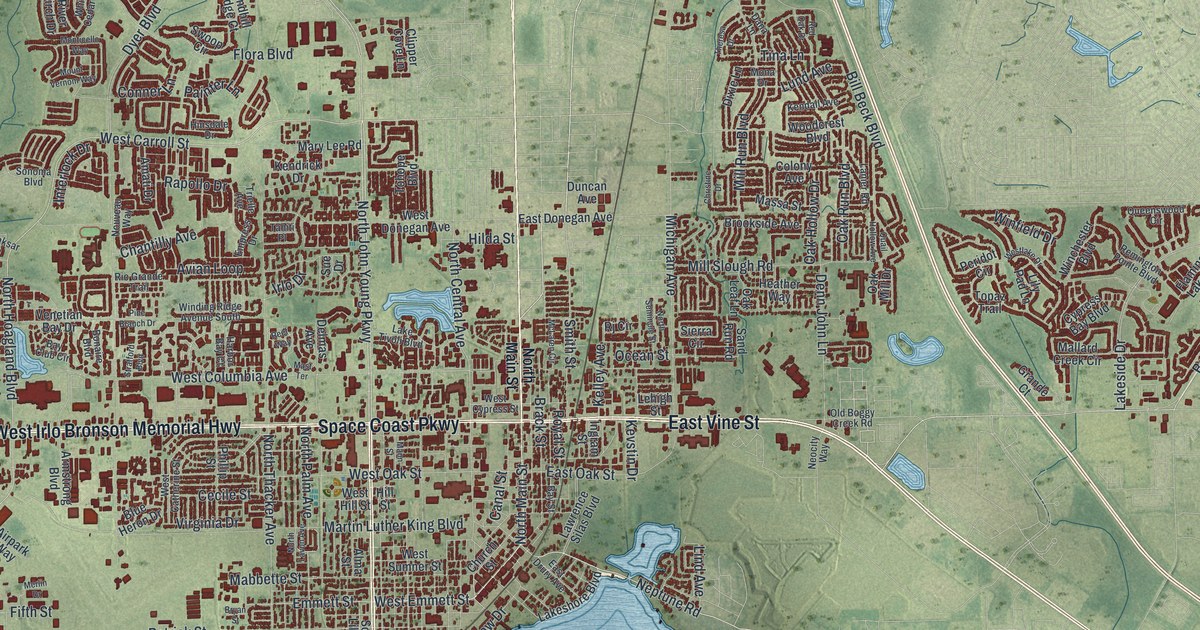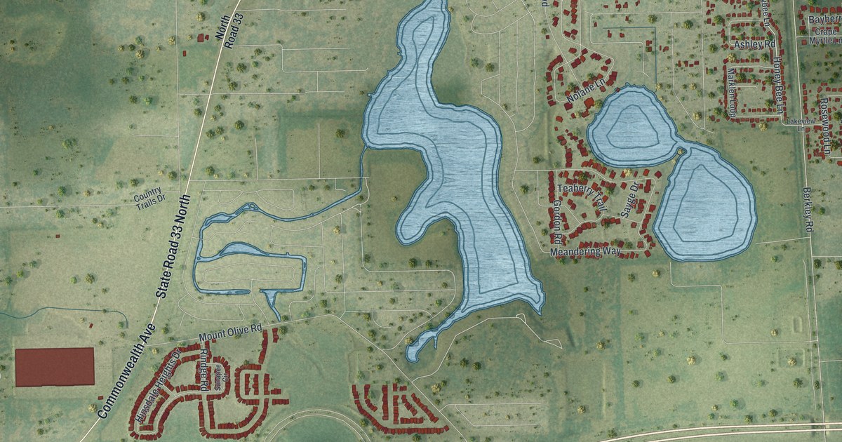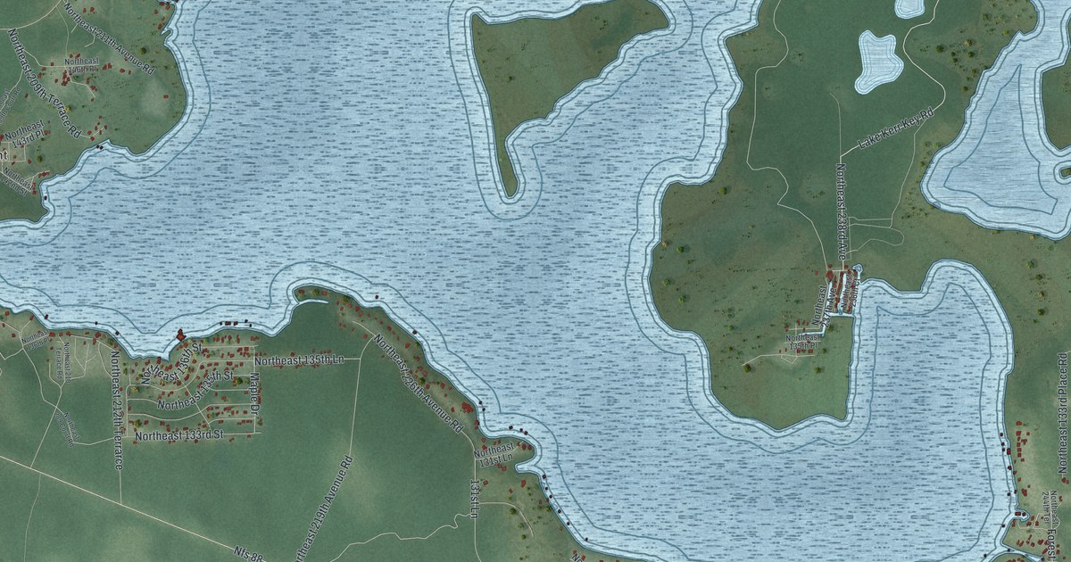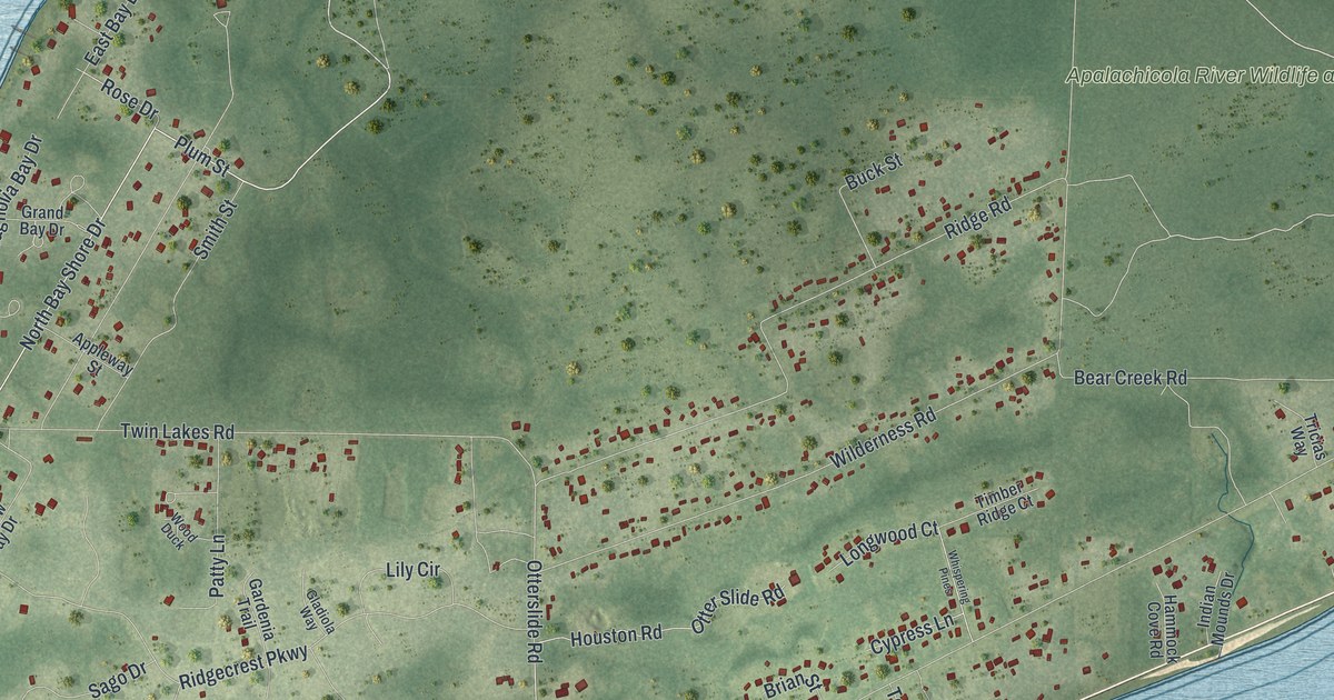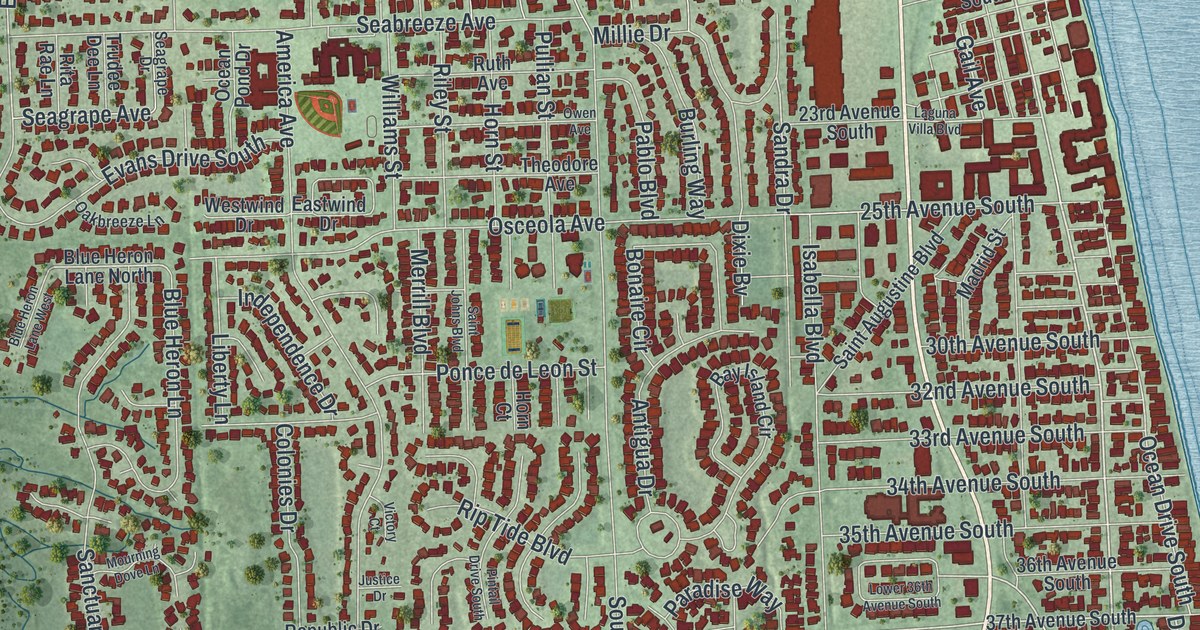
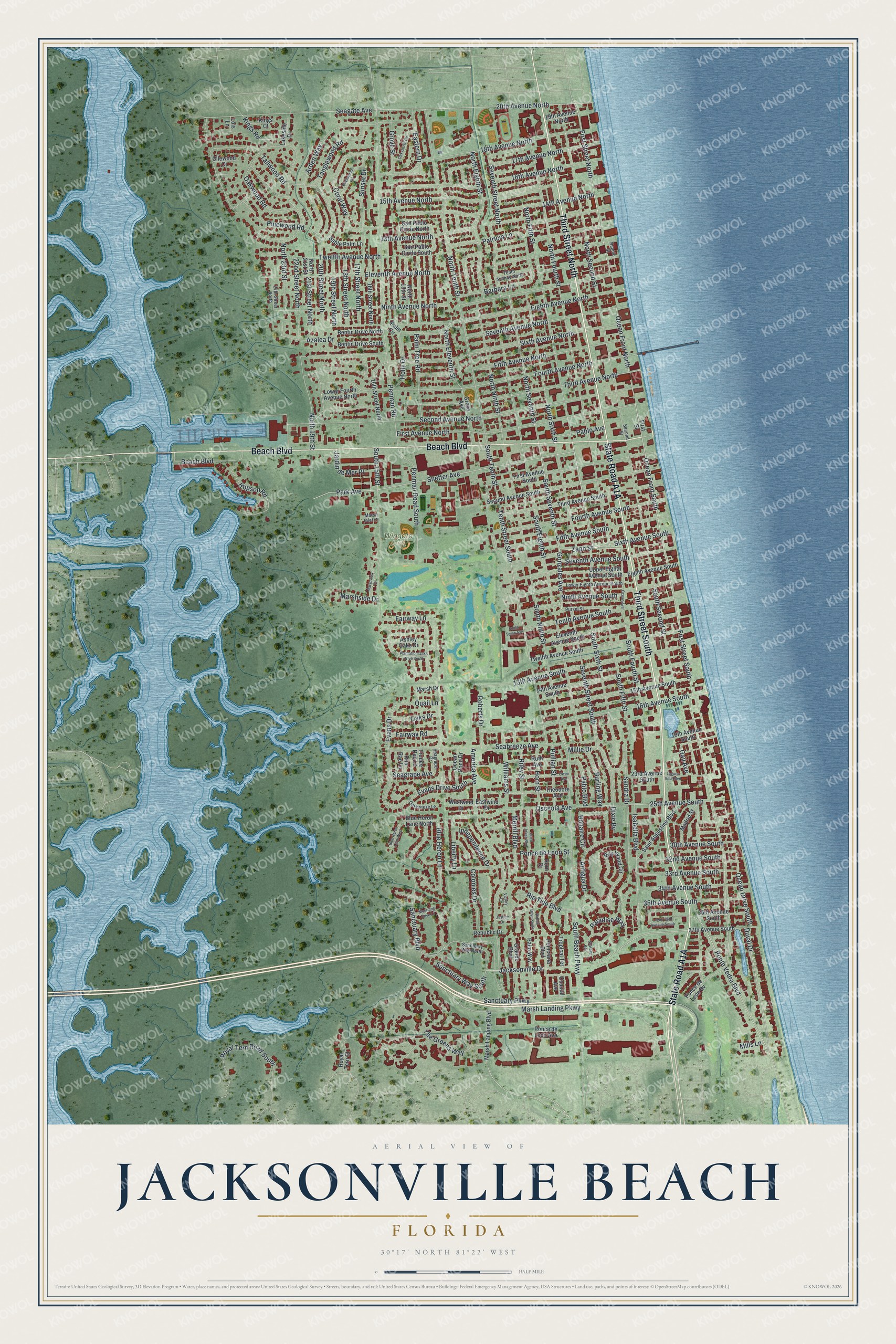
This beautifully detailed map of Jacksonville Beach, Florida was created in 2026 using aerial imagery combined with modern topographical, census, street and landmark data. It’s a one-of-a-kind view of Jacksonville Beach that combines accurate data with a vintage aesthetic. The map shows every building in its true location, many of the roads carry their names, and the shaded topographic relief shows the shape of the land.
Explore an aerial view of Jacksonville Beach, Florida
On the map you’ll find Wingate Park, along with State Road A1A, Third Street South, Third Street North, Beach Boulevard, South Fifth Street, Sixth Avenue South, Zaph Street, First Street South, Duval Drive, South Seventh Street, Seventh Street South, and more. If you look closely you can even find your house accurately drawn in its correct location. Zoom in on the preview to look for yours.
Did You Know?
The first settlers were surveyor William Edward Scull and his wife Eleanor, who lived in a tent. In 1884 they built the first house and named the settlement Ruby, for their first daughter. It became Pablo Beach in 1886 and took the name Jacksonville Beach in 1925.
Take a closer look at the Jacksonville Beach map
Names on this map
These names are printed on this map.
Places: Wingate Park.
Streets and roads: Third Street South, Third Street North, Beach Boulevard, South Fifth Street, Sixth Avenue South, Zaph Street, First Street South, Duval Drive, South Seventh Street, Seventh Street South, Ponte Vedra Boulevard, Gonzales Avenue.
More street names, A to Z
13th Avenue North, 13th Avenue South, 14th Avenue North, 14th Avenue South, 15th Avenue North, 15th Avenue South, 15th Street North, 16th Avenue North, 16th Avenue South, 16th Street North, 17th Avenue North, 17th Street North, 18th Avenue North, 18th Street North, 19th Avenue North, 19th Avenue South, 19th Street North, 20th Avenue North, 20th Street North, 21st Street North, 22nd Street North, 23rd Avenue South, 24th Street North, 25th Avenue South, 30th Avenue South, 32nd Avenue South, 33rd Avenue South, 34th Avenue South, 35th Avenue South, 36th Avenue South, 37th Avenue South, America Avenue, Antigua Drive, Arden Way, Ashley Oaks Drive, Azalea Drive, Barbara Lane, Bay Island Circle, Bentin Drive North, Bentin Drive South, Birchwood Road, Blue Heron Lane, Blue Heron Lane North, Blue Heron Lane West, Bonaire Circle, Burling Way, Cilewood Court, Coastal Avenue, Colonies Drive, Coral Way, Dixie Bv, Eastern Drive, Eastwind Drive, Eighth Avenue North, Eighth Avenue South, Eleventh Avenue North, Eleventh Avenue South, Evans Drive, Evans Drive South, Fairway Lane, Fairway Road, Fifth Avenue North, Fifth Avenue South, First Avenue North, First Avenue South, First Street, First Street North, Fourth Avenue North, Fourth Avenue South, Gail Avenue, Grande Boulevard, Grassey Key, Grove Avenue, Grove Street, Holly Drive, Hopson Road, Horn Court, Horn Street, Independence Drive, Isabella Boulevard, Jacksonville Drive, Jardin de Mer Place, Justice Drive, Kings Court, Kings Road, Laguna Villa Boulevard, Lakeside Drive, Liberty Lane, Lois Lane, Lower 36th Avenue South, Lower Eighth Avenue South, Lower Fourth Avenue North, Madrid Street, Marsh Drive, Marsh Inlet Court, Marsh Landing Boulevard, Marsh Landing Parkway, Marshside Drive, Marshview Drive, Merrill Boulevard, Millie Drive, Mills Lane, Mourning Dove Lane, Ninth Avenue North, Ninth Avenue South, North 13th Street, North 19th Street, North 21st Street, North 23rd Street, North Eighth Street, North Eleventh Street, North Fifth Street, North Fourth Street, North Ninth Street, North Second Street, North Seventh Street, North Sixth Street, North Tenth Street, Oakbreeze Lane, Oak Grove Circle, Oaks Drive, Oakwood Road, Ocean Avenue, Ocean Drive South, Ocean Front North, Ocean Front South, Ocean Pond Drive, Osceola Avenue, Owen Avenue, Pablo Avenue, Pablo Boulevard, Palm Circle, Palm Tree Road, Palm Way, Paradise Way, Park Avenue, Patricia Lane, Penman Road, Penman Road South, Pinewood Road, Pintail Drive South, Plantation Oaks Drive South, Poinciana Boulevard, Ponce de Leon Avenue, Ponce de Leon Bv, Ponce de Leon Street, Pullian Street, Pursel Street, Quail Lane, Rannie Street, Republic Drive, Riley Street, Rip Tide Boulevard, Rita Rae Lane, Roberts Drive, Royal Tern Court, Royal Tern Road South, Ruth Avenue, Sable Palm Lane, Saint Augustine Boulevard, Saint Johns Boulevard, Sanctuary Boulevard, Sanctuary Parkway, Sanctuary Way North, Sanctuary Way South, Sandra Drive, San Pablo Circle North, San Pablo Circle South, Seabreeze Avenue, Seagate Avenue, Seagrape Avenue, Seagrape Drive, Second Avenue North, Second Avenue South, Second Street, Seventh Avenue North, Seventh Avenue South, Seventh Street North, Shetter Avenue, Sixth Avenue North, South 15th Street, South Beach Parkway, South Eighth Street, South Fourth Street, South Ninth Street, South Second Street, South Sixth Street, South Tenth Avenue, South Tenth Street, Sunset Drive, Tallwood Road, Tanglewood Road, Tenth Avenue North, Tenth Avenue South, Tenth Street South, The Greens Way, Theodore Avenue, Third Avenue North, Third Avenue South, Tropical Terrace, Trudee Dee Lane, Twelfth Avenue North, Twelfth Avenue South, Upper Eighth Avenue South, Victory Court, Westwind Drive, Williams Street.
See it on a wall
The Jacksonville Beach map as a framed print. Swipe for more.


This beautifully detailed map of Jacksonville Beach makes an attractive addition to your office, library, or den, and it can even be used to teach children the geography and history of the area. It also makes a great gift for someone who left Jacksonville Beach and still calls it home. When you’re done exploring, click here to get your copy of the Jacksonville Beach map.