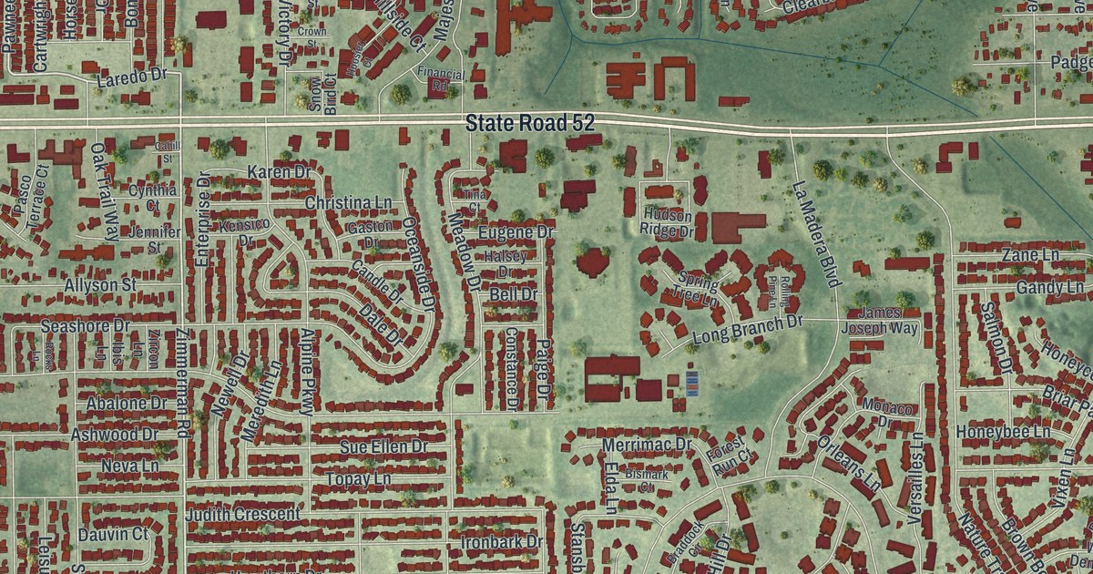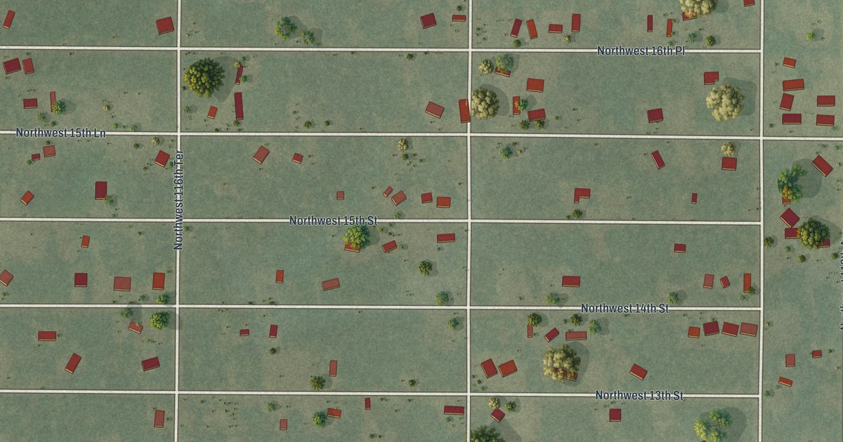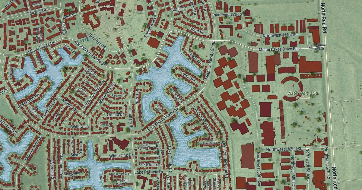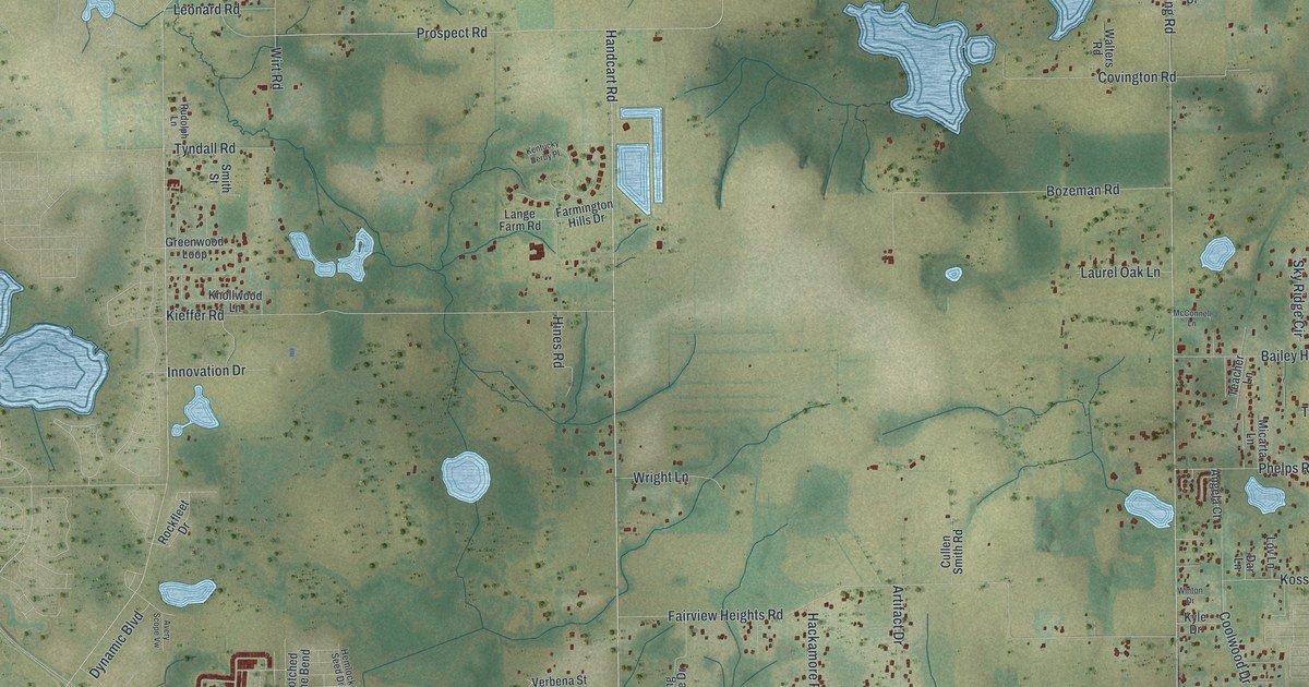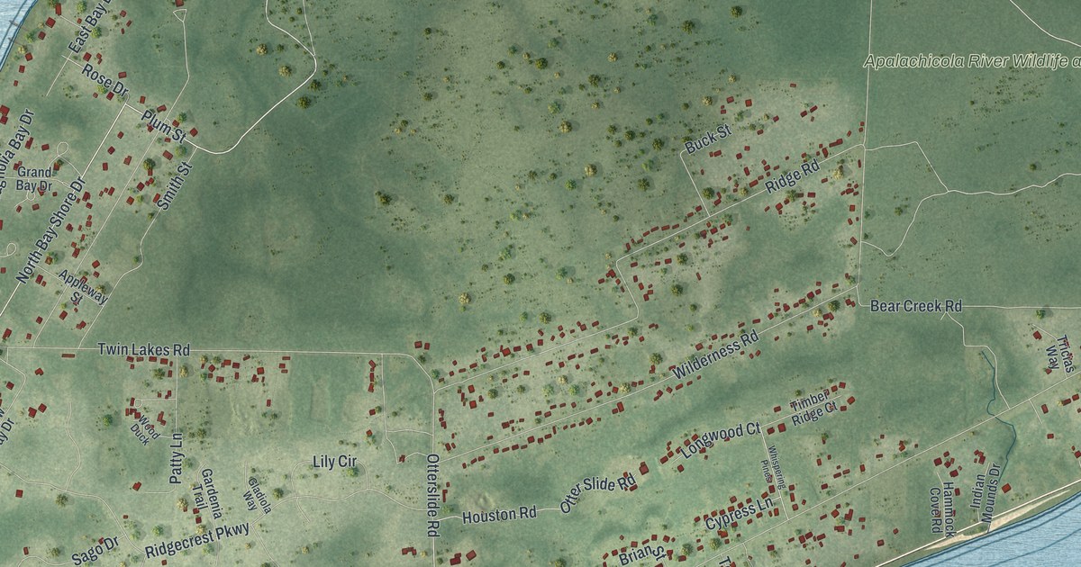
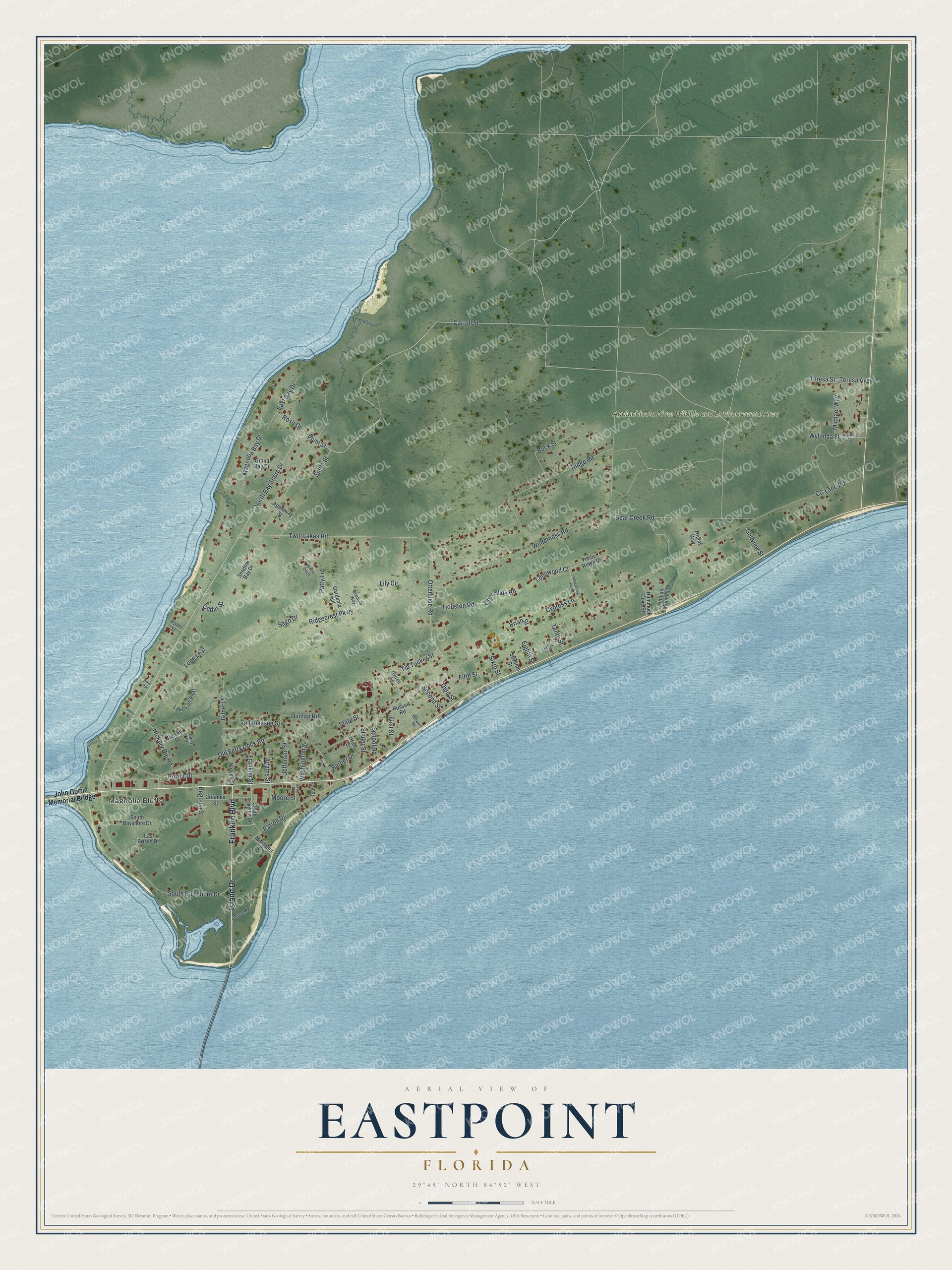
This beautifully detailed map of Eastpoint, Florida was created in 2026 using aerial imagery combined with modern topographical, census, street and landmark data. It's a modern aerial view of Eastpoint in Franklin County, Florida, that combines modern data with a vintage aesthetic. The roads feature printed names, and if you look closely you can find your exact house accurately shown in its correct location.
Explore an aerial view of Eastpoint, Florida
On this map you'll find Magnolia Bluffs, Apalachicola River Wildlife and Environmental Area, Island Drive, Franklin Boulevard, Carroll Street, North Bay Shore Drive, Rose Drive, South Bay Shore Drive, Plum Street, Tip Tucker Street, Otter Slide Road, Ridge Road, and more. Each red shape is a building, so zoom in on the preview and look for yours.
Every town has a first chapter, and Eastpoint is no exception. Eastpoint takes its name from its spot on the east point of a peninsula where the Apalachicola River empties into Apalachicola Bay. Around 1900, East Point was the site of an experiment in cooperative living, when the Co-operative Association of America secured a thousand acres on the water to start a colony. Members could choose to work at East Point or at Lewiston, Maine. Associate members could buy land for a farm, garden or fruit near good fishing and oystering. That's from the book Florida Place Names by Allen Morris.
Eastpoint is a community in Franklin County. The Census Bureau counted 2,614 people here in 2020.
Take a closer look at the Eastpoint map
Names on this map
These names are printed on this map.
Places: Magnolia Bluffs and Apalachicola River Wildlife and Environmental Area.
Streets and roads: Island Drive, Franklin Boulevard, Carroll Street, North Bay Shore Drive, Rose Drive, South Bay Shore Drive, Plum Street, Tip Tucker Street, Otter Slide Road, Ridge Road, Teresa Avenue, Michael Way.
More street names, A to Z
Adams Street, Appleway Street, Barber Drive, Bay Street, Bear Creek Road, Begonia Street, Brian Street, Buck Street, Bull Street, CC Land Road, Cedar Street, Creamer Street, Cypress Lane, Daisey Street, Daisy Street, David Street, Dunlap Road, East Bay Drive, Eighth Street, Fifth Street, First Street, Flowers Street, Franklin Street, Gardenia Trail, Garrett Lane, Gilbert Street, Gladiola Way, Grand Bay Drive, Gulfview Street, Hammock Cove Road, Hickory Dip Road, Holly Street, Houston Road, Indian Mounds Drive, Jefferson Street, John Gorrie Memorial Bridge, Lakes on Bluff, Las Brisas Drive, Lily Circle, Long Leaf, Longwood Court, Magnolia Bay Drive, Millender Street, Moore Street, Norvell Street, Old Ferry Dock Road, Otterslide Road, Palm Street, Patton Drive, Patty Lane, Pine Street, Power Drive, Pruett Road, Ridgecrest Parkway, Russell Road, Sago Drive, School Road, Schwer Drive, Second Street, Seventh Street, Shadow Bay Drive, Shuler Street, Sixth Street, Smith Street, South Bayshore Drive, South Franklin Street, State Street, Tallahassee Street, Tenth Street, Teresa Street, Third Street, Timber Ridge Court, Tricias Way, Twin Lakes Road, Washington Street, Whispering Pines, Wilderness Road, Wood Duck, Wylonda Avenue, Wylonda Street.
See it on a wall
The Eastpoint map as a framed print. Swipe for more.


Created by KNOWOL in 2026. The buildings are small red shapes, the roads carry their printed names, and shaded relief shows the shape of the land. The title panel reads "AERIAL VIEW OF EASTPOINT, FLORIDA" with 29°45' NORTH 84°52' WEST.
Hang it in the hallway, the office or the cabin, or give it to someone who left Eastpoint and still calls it home. Open the preview and look for a street you know. See sizes and frames for the Eastpoint map.