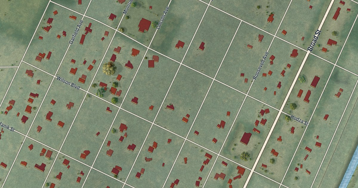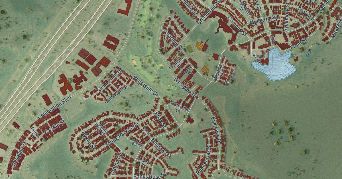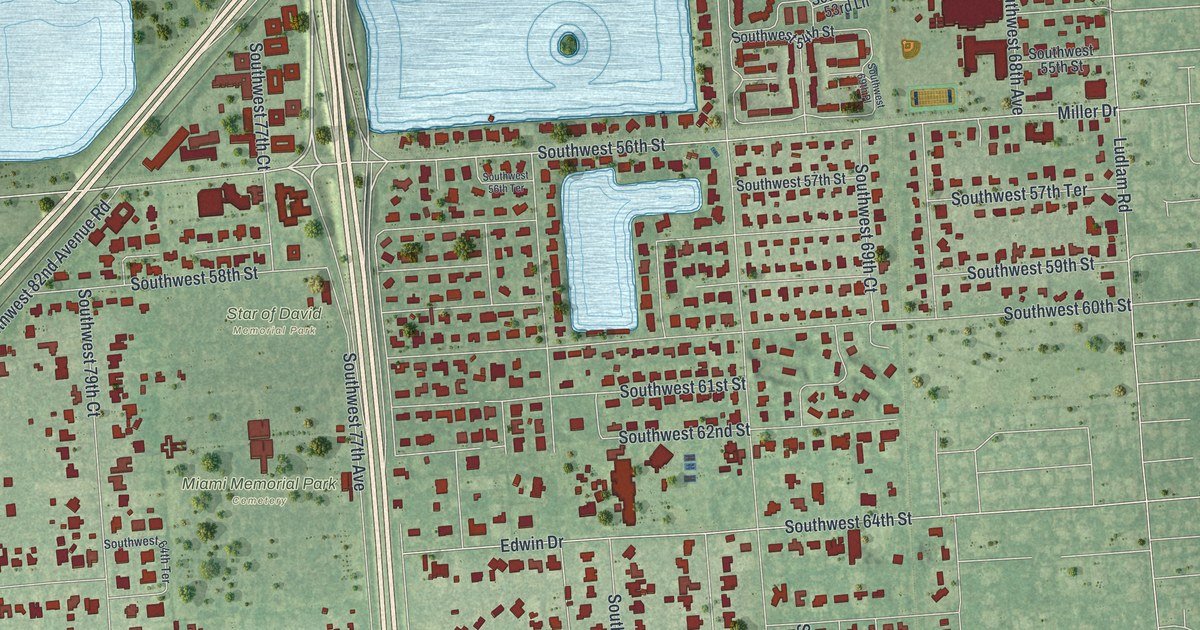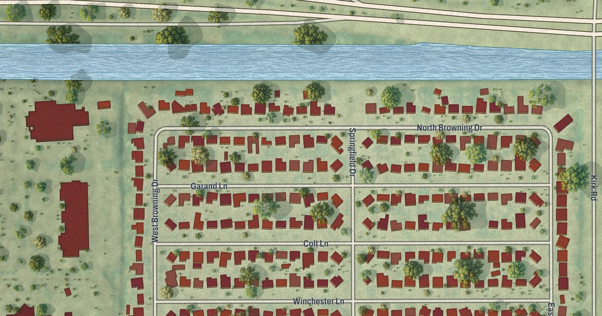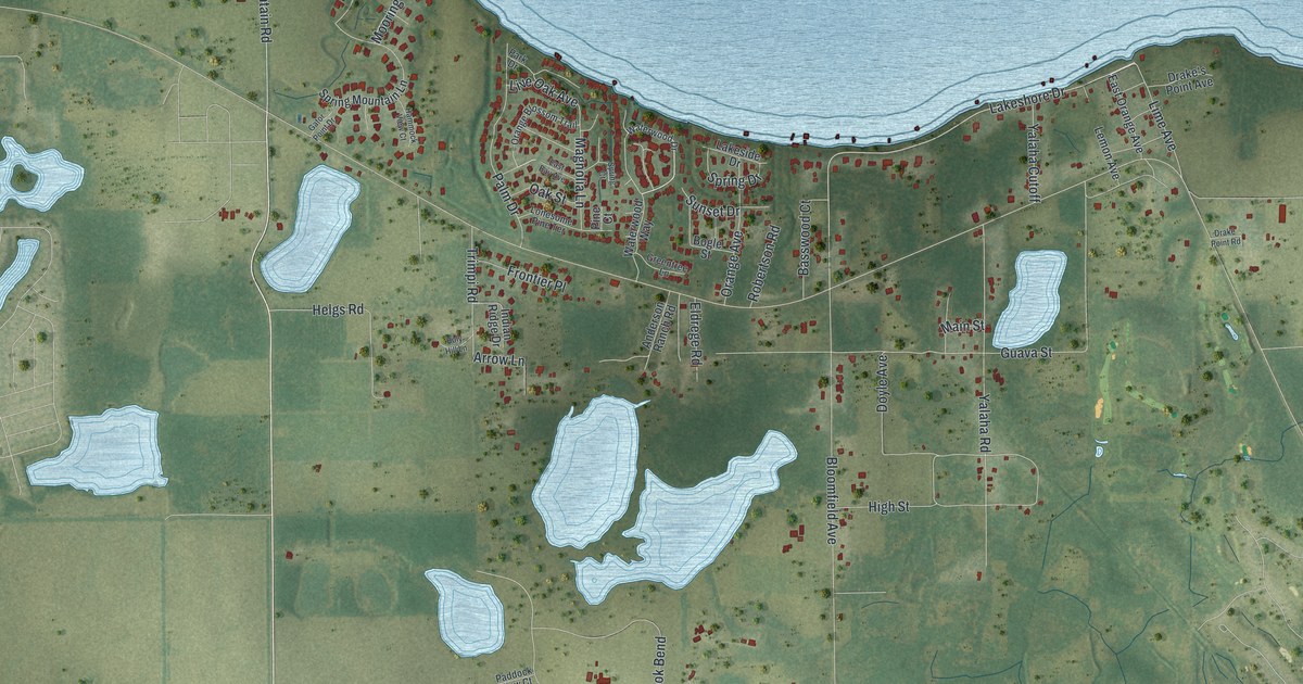
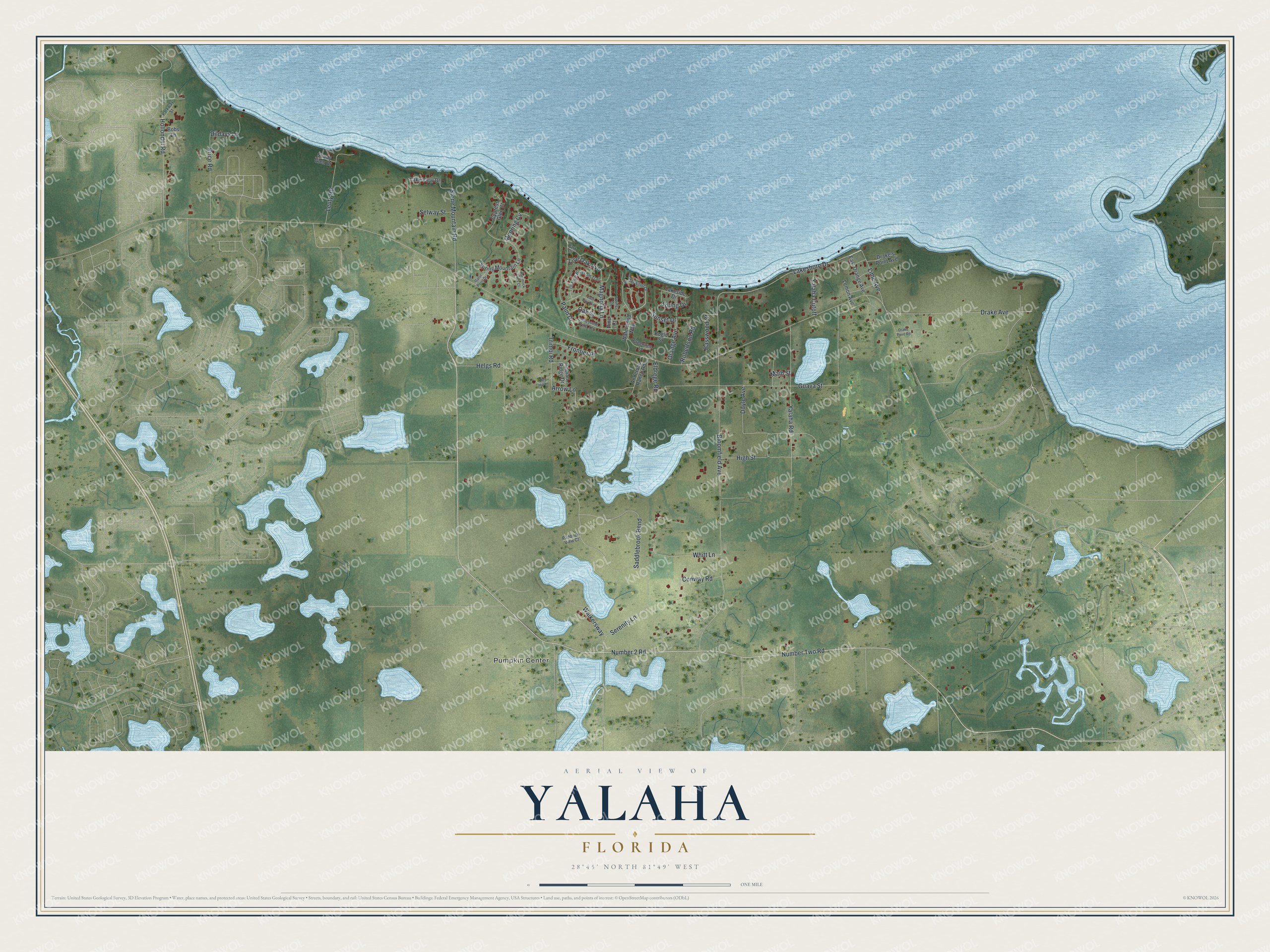
This beautifully detailed map of Yalaha, Florida was created in 2026 using aerial imagery combined with modern topographical, census, street and landmark data. It's a modern aerial view of Yalaha in Lake County, Florida, that combines modern data with a vintage aesthetic. The roads feature printed names, and if you look closely you can find your exact house accurately shown in its correct location.
Explore an aerial view of Yalaha, Florida
On this map you'll find Pumpkin Center, Number 2 Road, Number Two Road, Stone Mountain Road, Lakeshore Drive, Bloomfield Avenue, Guava Street, Serenity Lane, High Street, Yalaha Road, Drake Avenue, Saddlebrook Bend, and more. Each red shape is a building, so zoom in on the preview and look for yours.
Every town has a first chapter, and Yalaha is no exception. When the first permanent settlers of Yalaha decided the place needed a name, they chose Yalaha, which they understood to be a Native American word for yellow orange. Some people had been living here as early as 1847. The name is pronounced Ya-LA-ha. That's from the book Florida Place Names by Allen Morris.
Yalaha is a community in Lake County. The Census Bureau counted 1,505 people here in 2020.
Take a closer look at the Yalaha map
Names on this map
These names are printed on this map.
Places: Pumpkin Center.
Streets and roads: Number 2 Road, Number Two Road, Stone Mountain Road, Lakeshore Drive, Bloomfield Avenue, Guava Street, Serenity Lane, High Street, Yalaha Road, Drake Avenue, Saddlebrook Bend, Palm Drive.
More street names, A to Z
Anderson Ranch Road, Arrow Lane, Basswood Court, Bobs Lane, Bogle Street, Conway Road, Cypress Glen Court, Dildays Lane, Doyle Avenue, Drake's Point Avenue, Drake Point Road, East Bay Avenue, East Orange Avenue, Eldrege Road, Frontier Place, Gator Point Drive, Greentree Lane, Hammock View Court, Helgs Road, Hollondel Road, Holy Hill Lane, Indian Ridge Drive, Lakeside Drive, Lake View Drive, Lemon Avenue, Leuty Road, Lime Avenue, Live Oak Avenue, Lonesome Pine Terrace, Magnolia Lane, Main Street, Mooring Cv, Oak Street, Orange Avenue, Orange Blossom Trail, Paddock View Court, Park Drive, Parkway Street, Pine Court, Price Road, Robertson Road, Selway Street, Shady Glen Drive, Spring Court, Spring Drive, Spring Mountain Lane, Sunset Drive, Trimpi Road, Walkersway, Waterwood Drive, Waterwood Way, Whitt Lane, Yalaha Cutoff.
See it on a wall
The Yalaha map as a framed print. Swipe for more.


Created by KNOWOL in 2026. The buildings are small red shapes, the roads carry their printed names, and shaded relief shows the shape of the land. The title panel reads "AERIAL VIEW OF YALAHA, FLORIDA" with 28°45' NORTH 81°49' WEST.
Hang it in the hallway, the office or the cabin, or give it to someone who left Yalaha and still calls it home. Open the preview and look for a street you know. See sizes and frames for the Yalaha map.