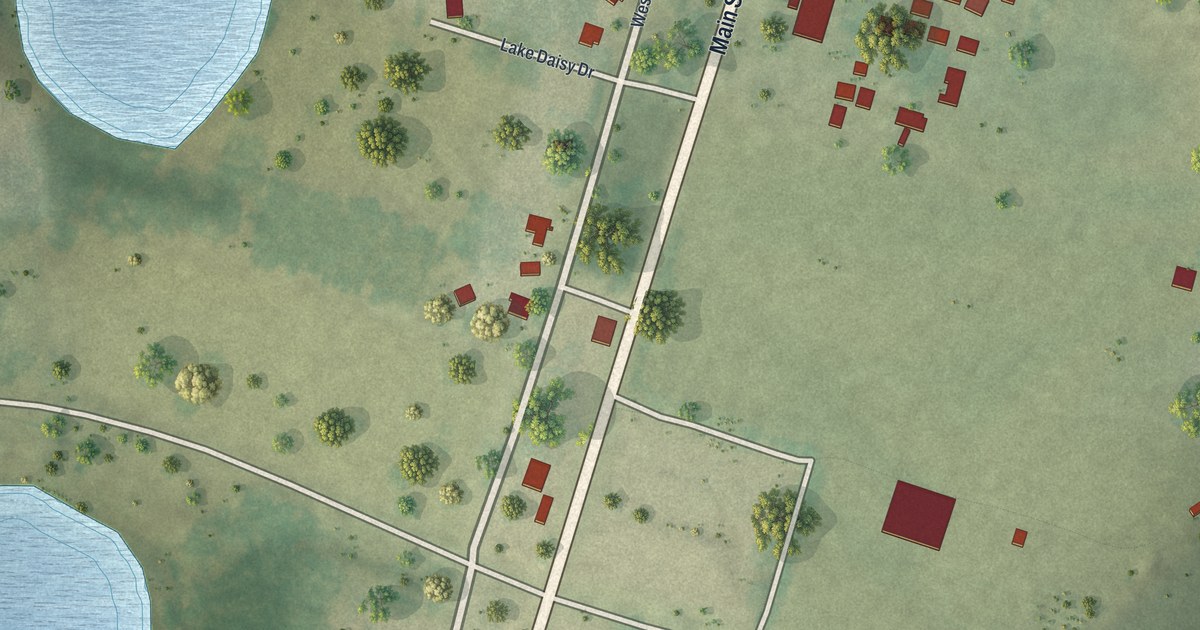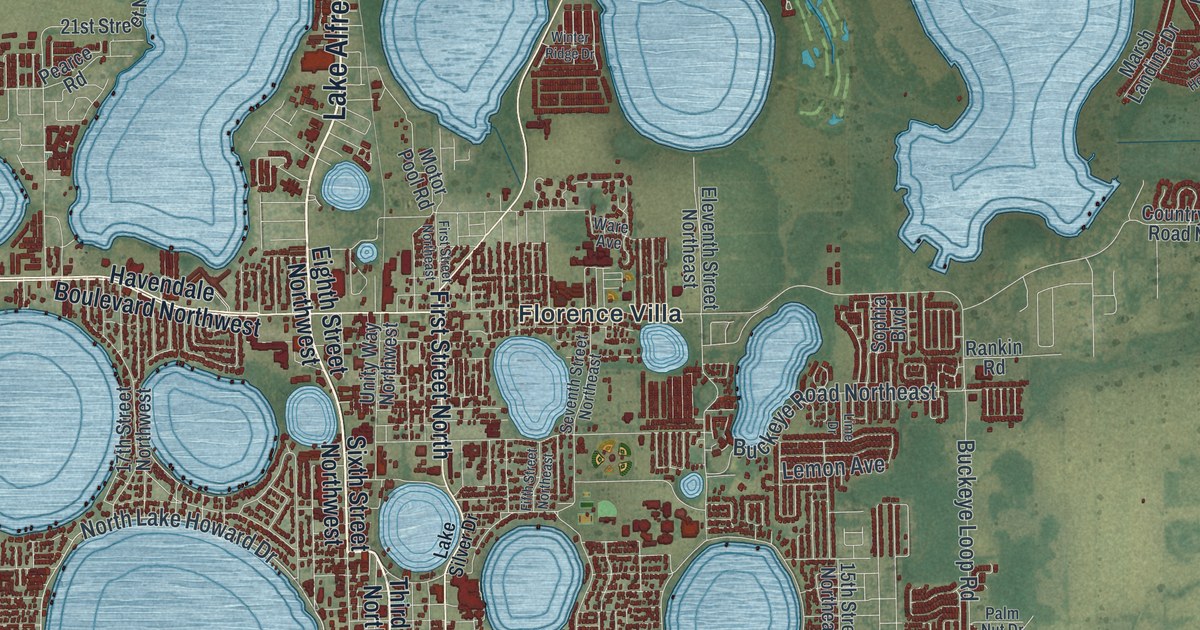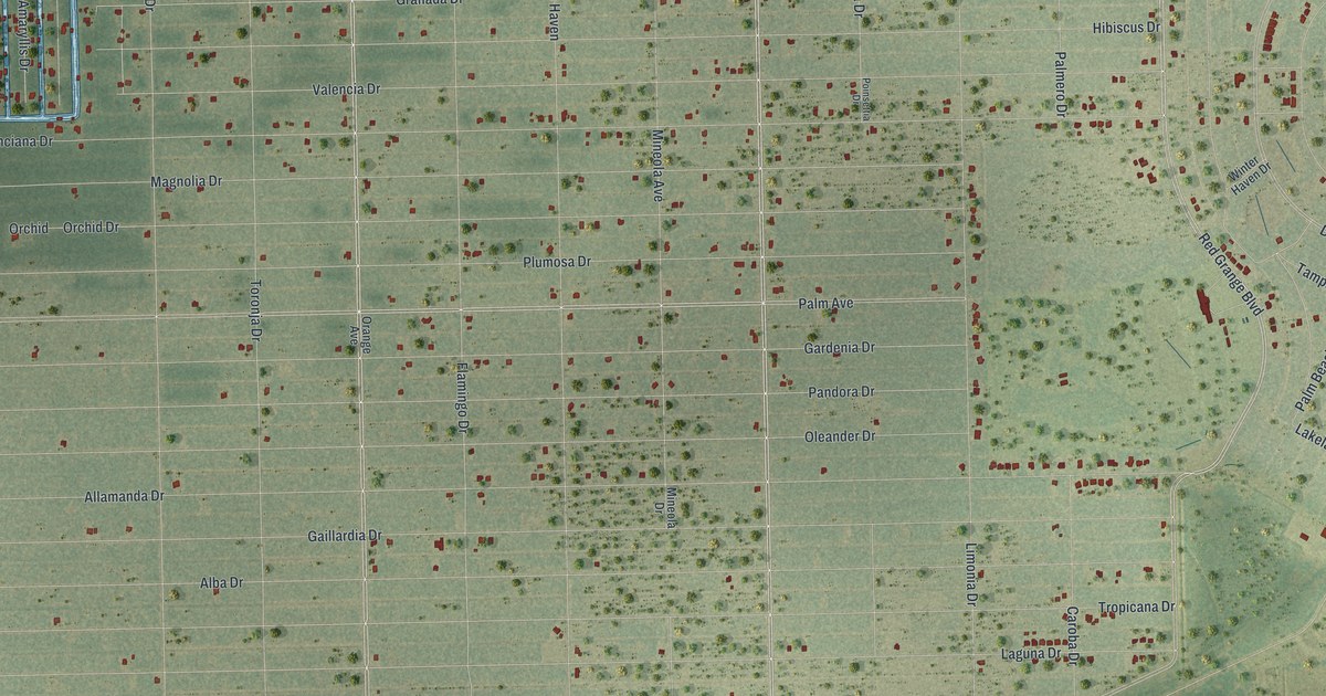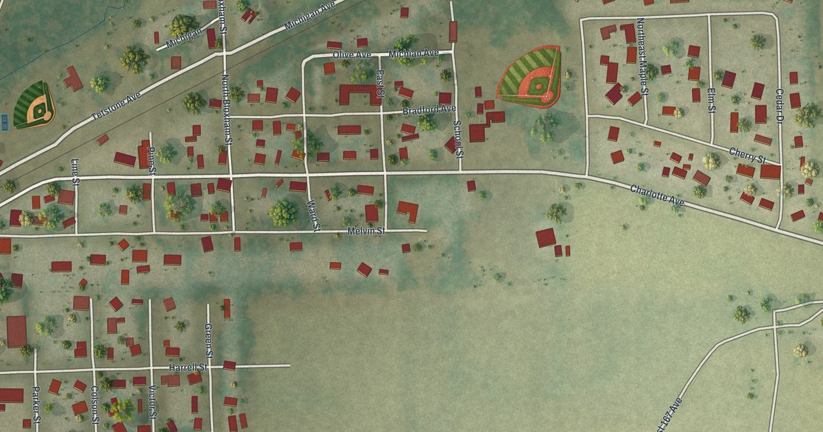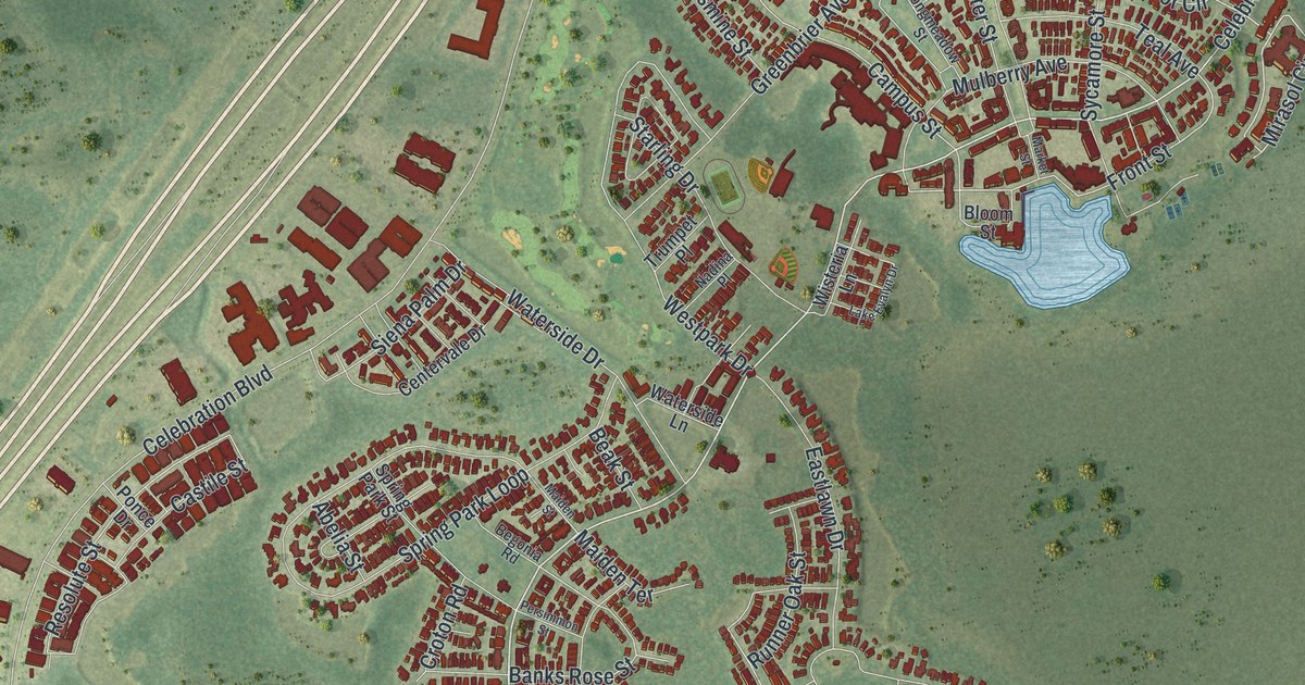
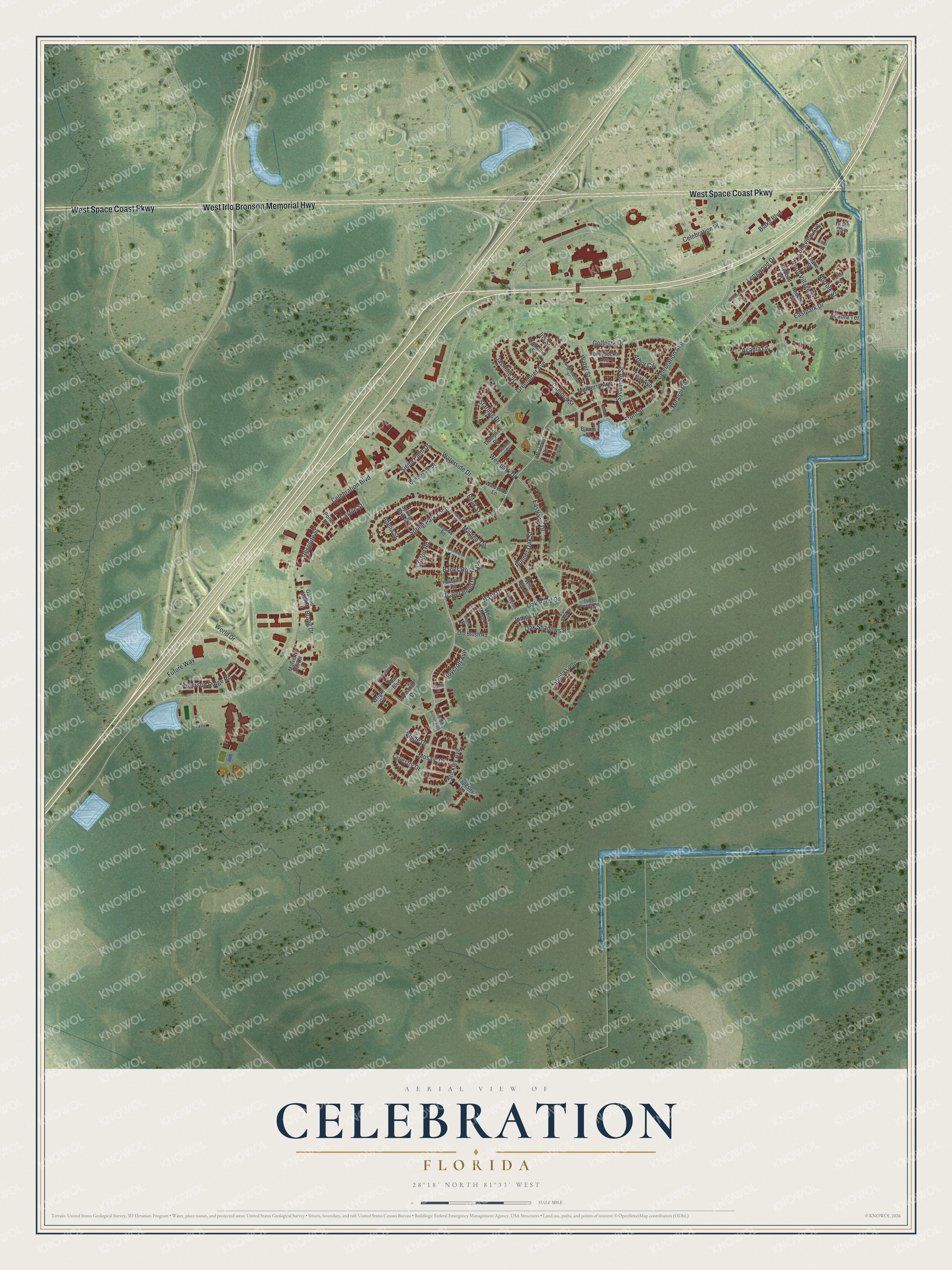
This beautifully detailed map of Celebration, Florida was created in 2026 using aerial imagery combined with modern topographical, census, street and landmark data. It’s a one-of-a-kind view of Celebration that combines accurate data with a vintage aesthetic. The map shows every building in its true location, many of the roads carry their names, and the shaded topographic relief shows the shape of the land.
Explore an aerial view of Celebration, Florida
On the map you’ll find Celebration Place, along with West Space Coast Parkway, West Irlo Bronson Memorial Highway, Celebration Avenue, Mirasol Circle, Arbor Circle, Longview Avenue, Resolute Street, Campus Street, Front Street, Longwood Drive, Banks Rose Street, and more. If you look closely you can even find your house accurately drawn in its correct location. Zoom in on the preview to look for yours.
Take a closer look at the Celebration map
Names on this map
These names are printed on this map.
Streets and roads: West Space Coast Parkway, West Irlo Bronson Memorial Highway, Celebration Avenue, Celebration Place, Mirasol Circle, Arbor Circle, Longview Avenue, Resolute Street, Campus Street, Front Street, Longwood Drive, Banks Rose Street.
More street names, A to Z
Abelia Street, Acadia Lane, Acadia Terrace, Aquila Loop, Artisan Avenue East, Beak Street, Begonia Road, Blake Boulevard, Blaze Street, Bloom Street, Blue Sage Street, Bragg Drive, Camellia Street, Castile Street, Celebration Boulevard, Centervale Drive, Croton Road, Deer Woods Road, Drake Street, Eastlawn Drive, Eastpark Drive, Emerson Ridge Road, Ficus Street, Future Way, Gaines Mill Court, Goldenrain Drive, Golfpark Drive, Grace Avenue, Greenbrier Avenue, Honeysuckle Avenue, Indigo Drive, Iris Street, Ironsmith Drive, Jasmine Street, Jeater Bend Drive, Lake Evalyn Drive, Longmeadow Street, Lutyens Lane, Maiden Street, Maiden Terrace, Malvern Hill Circle, Market Street, Mosaic Drive, Mulberry Avenue, Nadina Place, Nash Drive, Norfolk Street, North Village Street, Oak Pond Drive, Oak Shadows Road, Old Blush Road, Parlor Avenue, Pawstand Road, Persimmon Street, Ponce Drive, Redbud Street, Reeves Street, Roycroft Avenue, Runner Oak Street, Siena Palm Drive, Spring Park Loop, Spring Park Street, Starling Drive, Stickley Avenue, Stonecutter Drive, Sycamore Street, Tapestry Drive, Tapestry Lane, Teal Avenue, Trumpet Place, Vaux Boulevard, Waterside Drive, Waterside Lane, Water Street, Westpark Drive, White Moss Lane, Wilde Drive, Wild Elm Street, Wiregrass Street, Wisteria Lane, World Drive, Wright Circle.
See it on a wall
The Celebration map as a framed print. Swipe for more.


This beautifully detailed map of Celebration makes an attractive addition to your office, library, or den, and it can even be used to teach children the geography and history of the area. It also makes a great gift for anyone who grew up in Celebration or moved away. When you’re done exploring, click here to get your copy of the Celebration map.