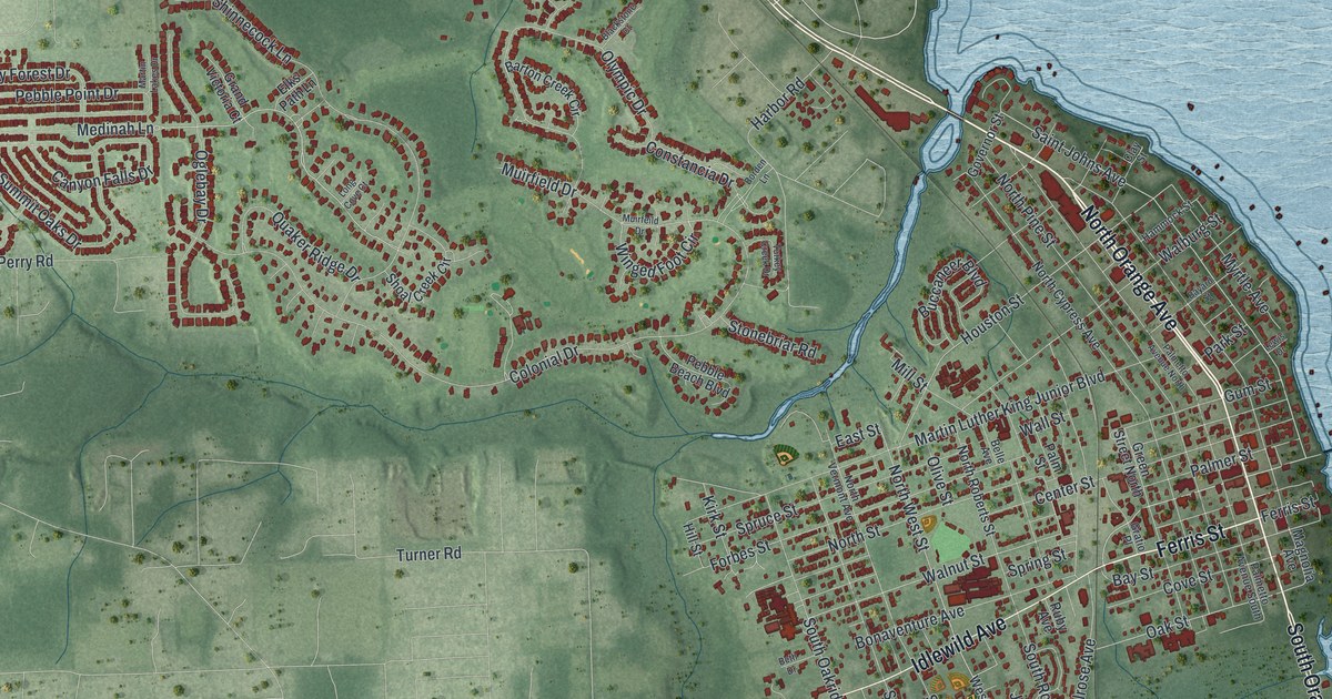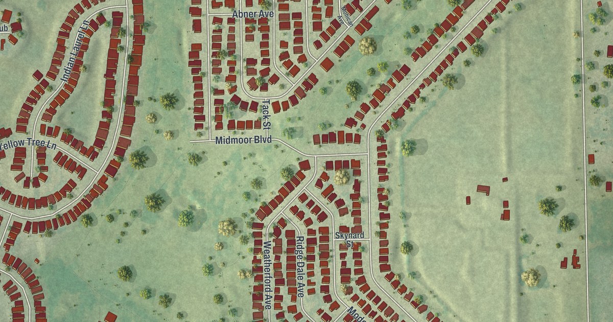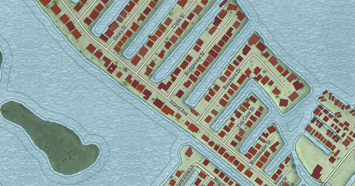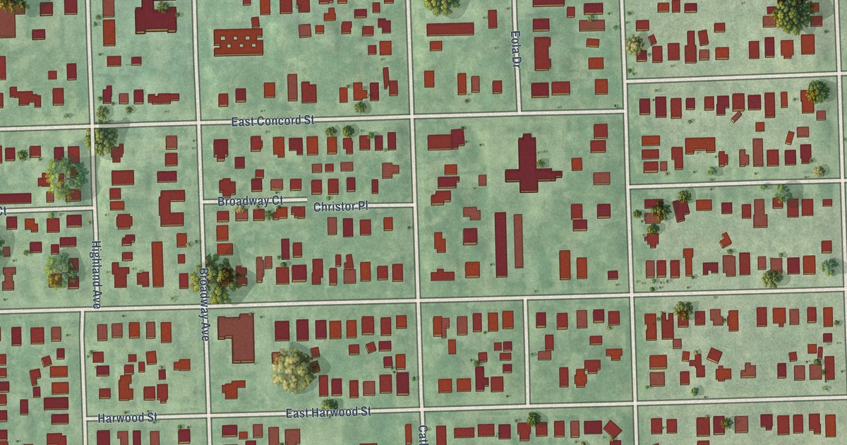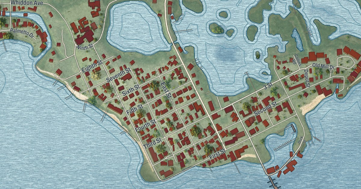
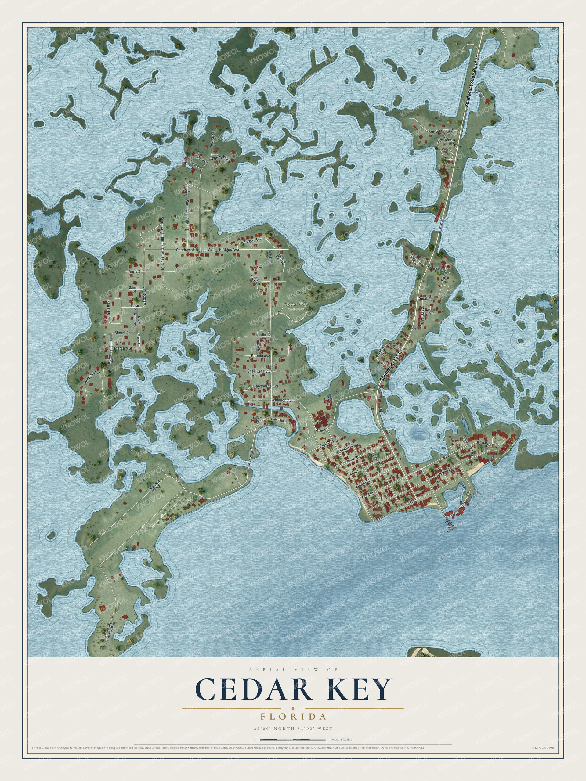
This beautifully detailed map of Cedar Key, Florida was created in 2026 using aerial imagery combined with modern topographical, census, street and landmark data. It’s a one-of-a-kind view of Cedar Key that combines accurate data with a vintage aesthetic. The map shows every building in its true location, many of the roads carry their names, and the shaded topographic relief shows the shape of the land.
Explore an aerial view of Cedar Key, Florida
On the map you’ll find Cedar Key Cemetery and Southwest State Road 24, along with Southwest 155 Court, 3 Street, Third Street, Airport Road, Watson Circle, Margery Street, Museum Drive, Gulf Boulevard, Second Street, Hodges Avenue, and more. If you look closely you can even find your house accurately drawn in its correct location. Zoom in on the preview to look for yours.
Did You Know?
Naturalist John Muir walked 1,000 miles from Louisville, Kentucky, to Cedar Key in 1867. He caught malaria while working at a sawmill in town. The mill superintendent took him into his house until he recovered. In January 1868, Muir sailed from Cedar Key to Cuba.
Take a closer look at the Cedar Key map
Names on this map
These names are printed on this map.
Places: Cedar Key Cemetery.
Streets and roads: Southwest 155 Court, Southwest State Road 24, 3 Street, Third Street, Airport Road, Watson Circle, Margery Street, Museum Drive, Gulf Boulevard, Second Street, Hodges Avenue, Southwest Hodges Avenue.
More street names, A to Z
Anchor Cove Drive, Andrews Circle, Anna Street, Bayshore Avenue, Bay Street, Cedar Street, Collins Road, Depot Street, Dock Street, East Point Road, East Street, Egrets Lane, Eighth Street, Fifth Street, First Street, Fourth Street, Franko Circle, Grove Street, Hawthorne Avenue, Heron Lane, Hodgson, Hogson Avenue, Indiana Avenue, Ingleside Place, Jernigan Avenue, Lighthouse Road, Live Oak Drive, Live Oak Street, Merle Avenue, Ninth Street, North Merle Avenue, Oak Street, Old Mill Drive, Osprey Way, Palmetto Drive, Park Street, Paroda Avenue, Pine Street, Rye Key Drive, Sandra Street, Seventh Street, Shell Crest Avenue, Sherril Street, Sixth Street, Southwest 133rd Street, Southwest 165th Terrace, Southwest 166th Court, Southwest Airport Road, Sturgis Circle, Sunsetisle Road, Sunset Point Drive, Susan Street, Taylor Road, Whiddon Avenue, Whitman Drive, Wooden Bridge Road.
See it on a wall
The Cedar Key map as a framed print. Swipe for more.


This beautifully detailed map of Cedar Key makes an attractive addition to your office, library, or den, and it can even be used to teach children the geography and history of the area. It also makes a great gift for someone who left Cedar Key and still calls it home. When you’re done exploring, click here to get your copy of the Cedar Key map.