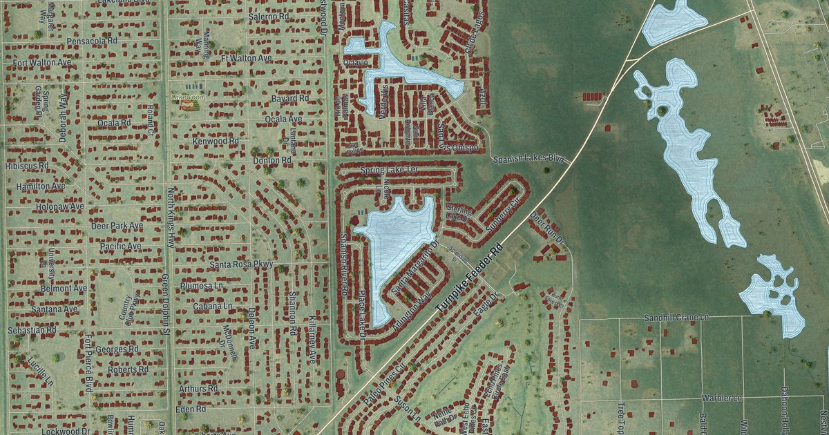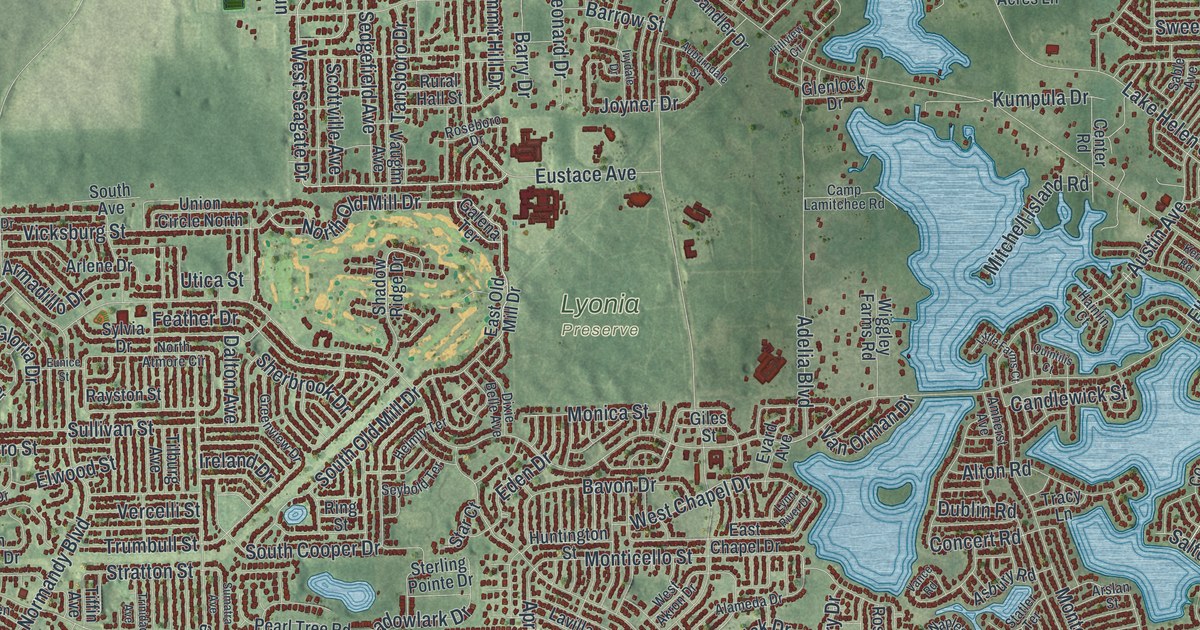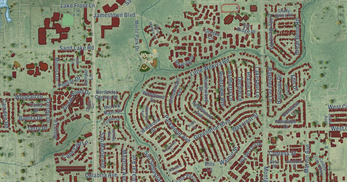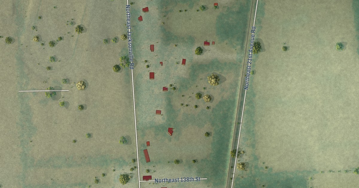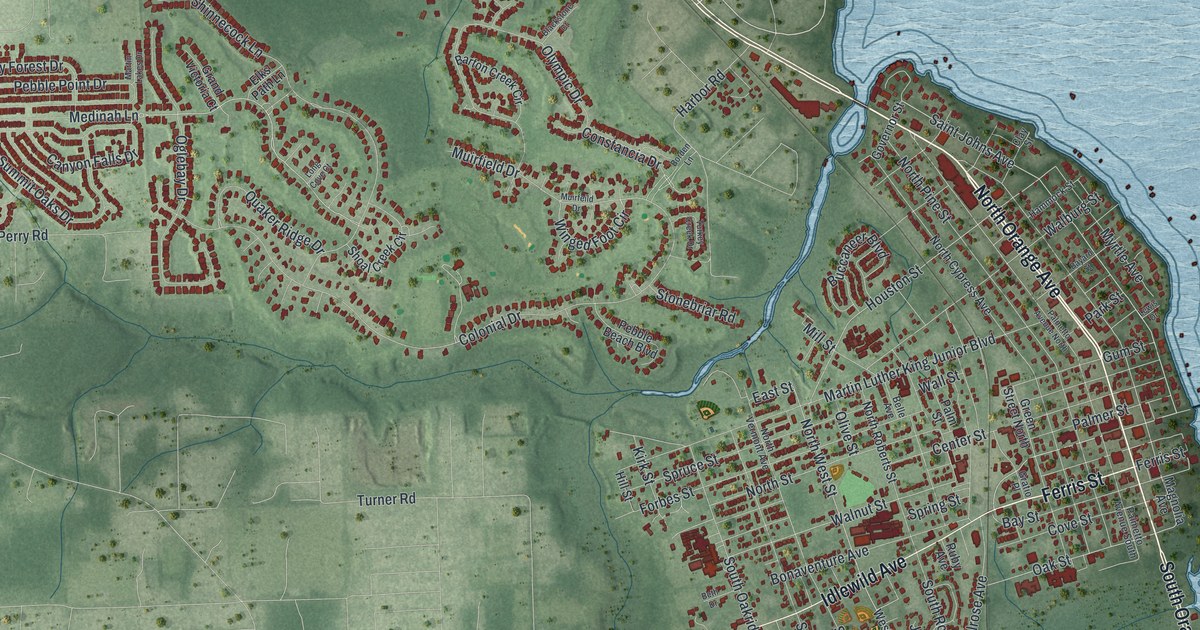
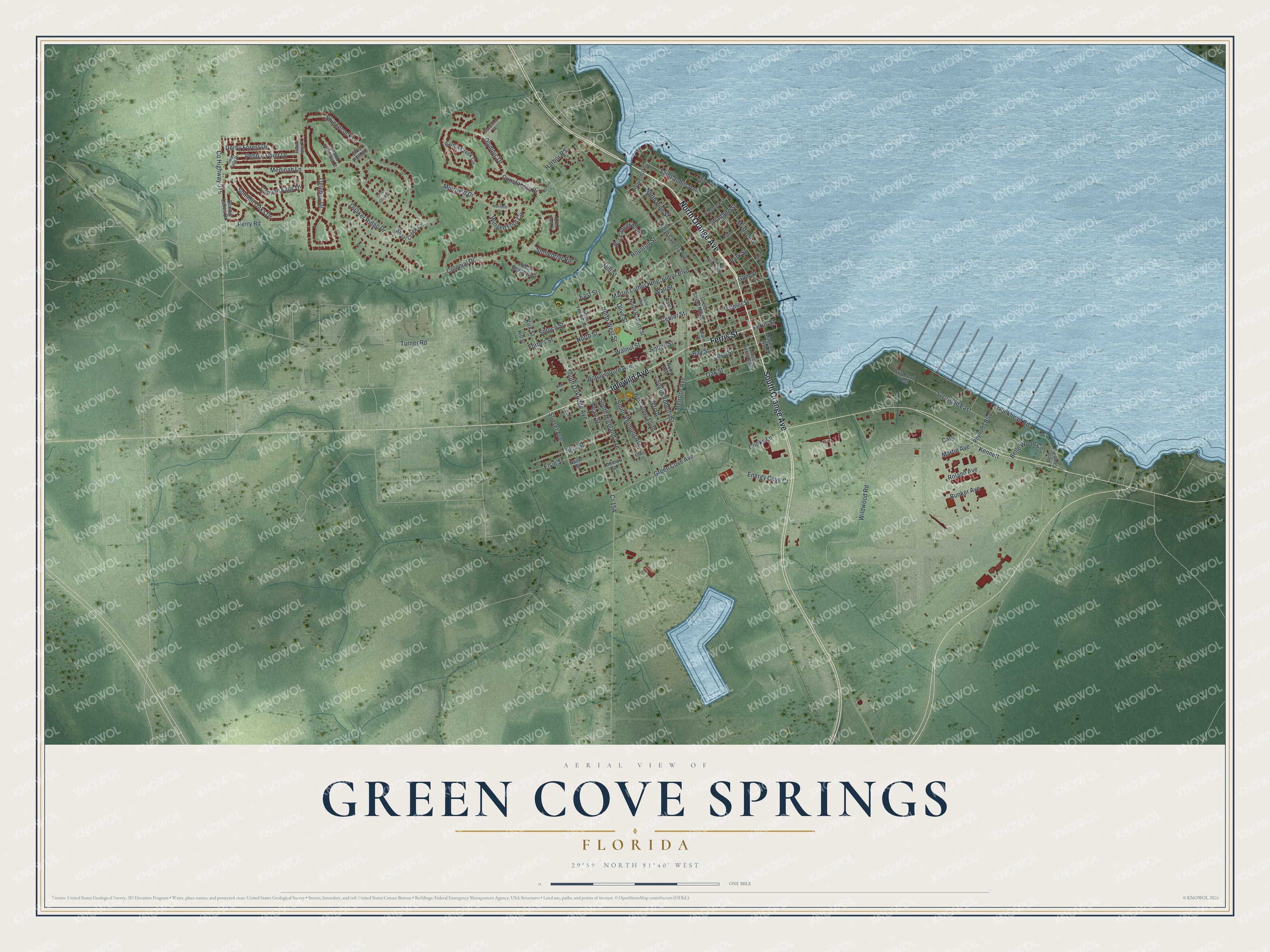
This beautifully detailed map of Green Cove Springs, Florida was created in 2026 using aerial imagery combined with modern topographical, census, street and landmark data. It’s a one-of-a-kind view of Green Cove Springs that combines accurate data with a vintage aesthetic. The map shows every building in its true location, many of the roads carry their names, and the shaded topographic relief shows the shape of the land.
Explore an aerial view of Green Cove Springs, Florida
On the map you’ll find North Orange Avenue, Ferris Street, South Orange Avenue, Idlewild Avenue, Walnut Street, Saint Johns Avenue, Medinah Lane, Green Cove Avenue, South Oakridge Avenue, Muirfield Drive, North West Street, Oak Street, and more. If you look closely you can even find your house accurately drawn in its correct location. Zoom in on the preview to look for yours.
Did You Know?
Native Americans came to the warm mineral spring here more than 7,000 years ago. In the 1800s, visitors filled over a dozen hotels near the spring, known locally as the Original Fountain of Youth. The town began in 1854 as White Sulfur Springs and was renamed in 1866.
Take a closer look at the Green Cove Springs map
Names on this map
These names are printed on this map.
Streets and roads: North Orange Avenue, Ferris Street, South Orange Avenue, Idlewild Avenue, Walnut Street, Saint Johns Avenue, Medinah Lane, Green Cove Avenue, South Oakridge Avenue, Muirfield Drive, North West Street, Oak Street.
More street names, A to Z
Barton Creek Circle, Bayard Street, Bay Street, Belle Avenue, Belle Wood Circle, Beth Drive, Blackstone Court, Bonaventure Avenue, Bonnie Lakes Drive, Borden Lane, Buccaneer Boulevard, Bulkhead Road, Bunker Avenue, Canyon Falls Drive, Cary, Center Street, Clay Street, Colonial Drive, Constancia Drive, Cooks Lane, County Highway 315, Cove Street, Derby Forest Drive, East Street, Elks Path Lane, Elsie Street, Energy Cove Court, Florida Court, Forbes Street, Governor Street, Grand Victoria Court, Gratio Place, Green Street North, Gum Street, Hammock Street, Harbor Road, Hazel Street, Hill Street, Houston Street, Jeri Drive, Julia Street, Kennett, Kirk Street, Lewis Drive, Long Cove Court, Magnolia Avenue, Martin Avenue, Martin Lakes Drive, Martin Luther King Junior Boulevard, Melrose Avenue, Mill Street, Muirfeild Drive, Myrtle Avenue, North Cypress Avenue, North Pine Street, North Roberts Street, North Street, North Vermont Avenue, Oglebay Drive, Olive Circle, Olive Street, Olympic Drive, Palmer Street, Palmetto Avenue North, Palmetto Avenue South, Palm Street, Park Street, Pearl Street, Pebble Beach Boulevard, Pebble Point Drive, Perry Road, Quaker Ridge Drive, Red Cove Road, Reynolds Boulevard, Roland Avenue, Ruby Avenue, Shinnecock Lane, Shoal Creek Circle, South Highland Avenue, South Roberts Street, South Vermont Avenue, Spring Street, Spruce Street, Stonebriar Road, Summit Oaks Drive, Sunset Avenue, Svc Road East, Svc Road West, Thomas Street, Turkey Creek Drive, Turner Road, Twin Falls Drive, Walburg Street, Wall Street, West Street South, Wildwood Road, Winged Foot Circle.
See it on a wall
The Green Cove Springs map as a framed print. Swipe for more.


This beautifully detailed map of Green Cove Springs makes an attractive addition to your office, library, or den, and it can even be used to teach children the geography and history of the area. It also makes a great gift for anyone with Green Cove Springs roots. When you’re done exploring, click here to get your copy of the Green Cove Springs map.