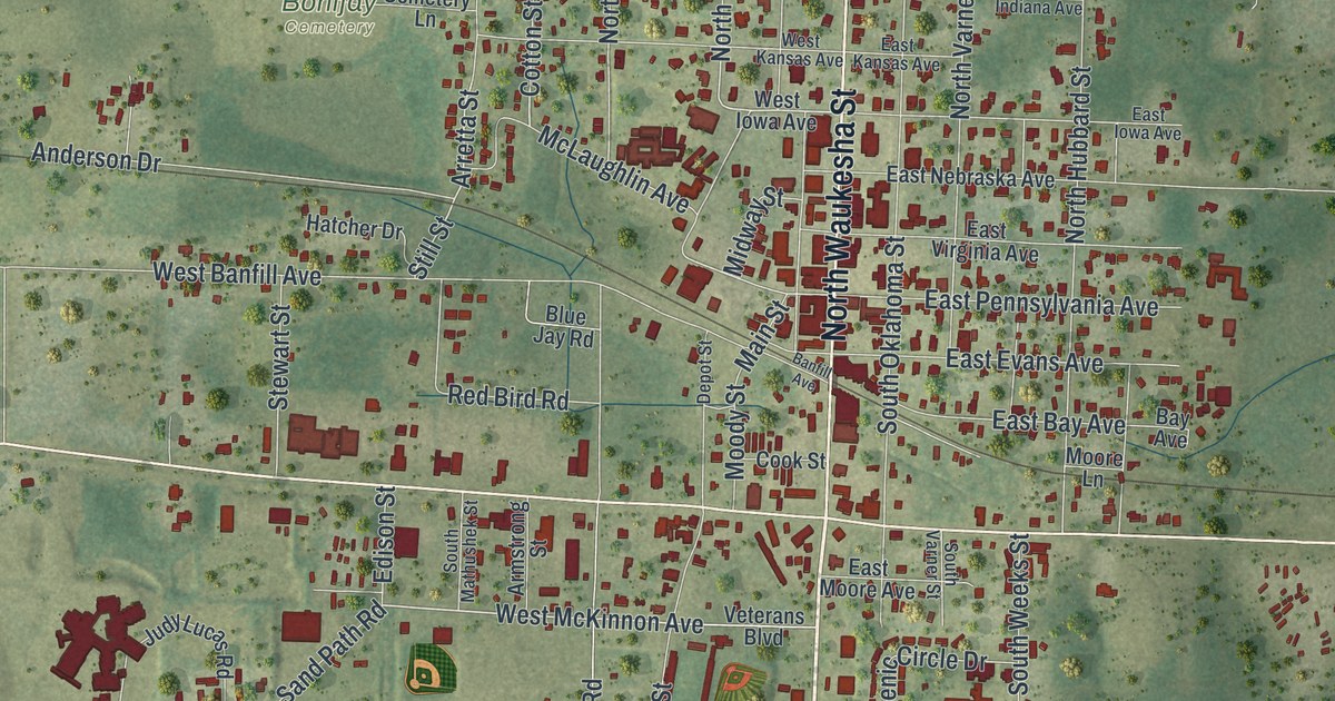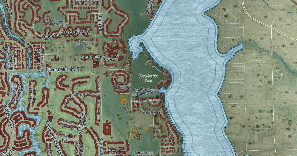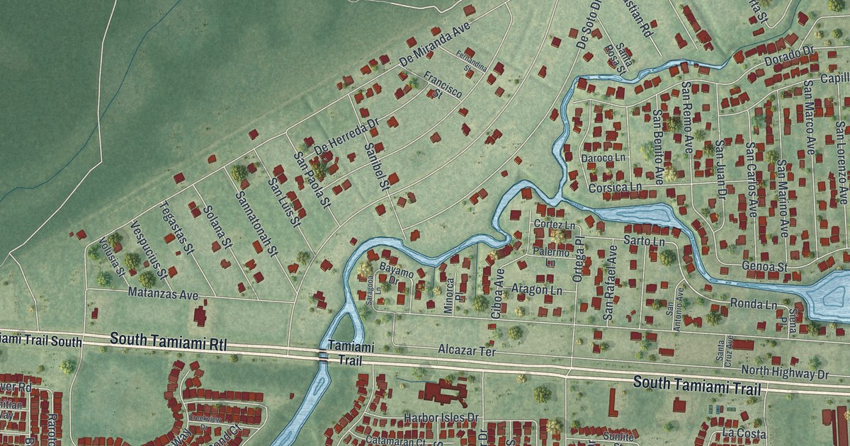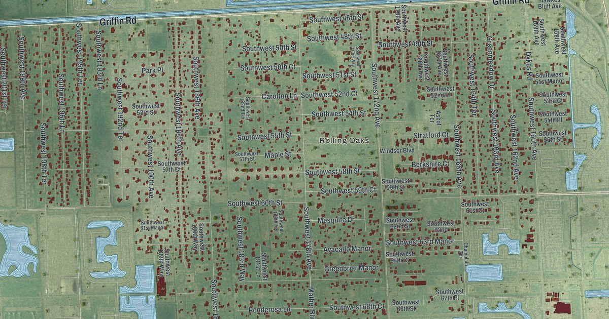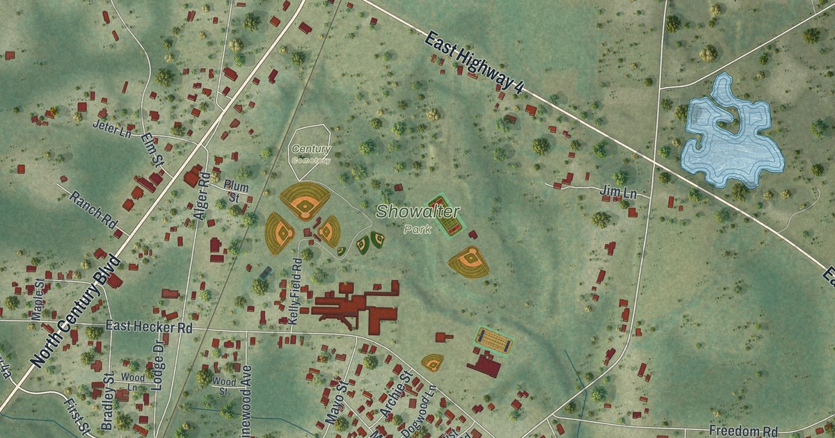
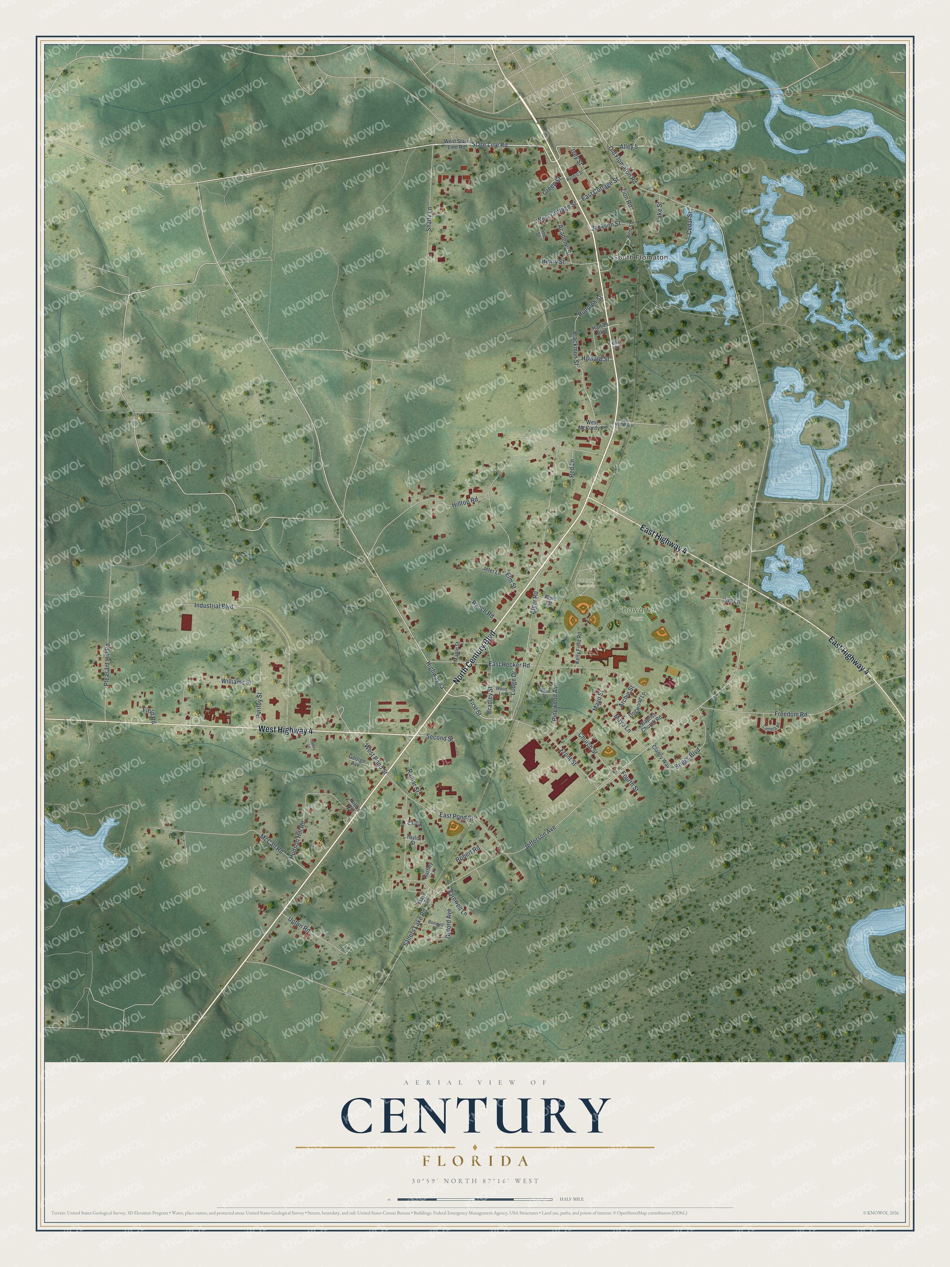
This beautifully detailed map of Century, Florida was created in 2026 using aerial imagery combined with modern topographical, census, street and landmark data. It’s a one-of-a-kind view of Century that combines accurate data with a vintage aesthetic. The map shows every building in its true location, many of the roads carry their names, and the shaded topographic relief shows the shape of the land.
Explore an aerial view of Century, Florida
On the map you’ll find South Flomaton, Showalter Park, and Century Cemetery, along with North Century Boulevard, West Highway 4, East Highway 4, State Line Road, Front Street, First Street, Old Flomaton Road, Ivey Street, Jefferson Avenue, and more. If you look closely you can even find your house accurately drawn in its correct location. Zoom in on the preview to look for yours.
Did You Know?
Century was founded in 1901 as a company town built around a sawmill. Its name marks 1901 as the first year of the 20th century. Since that year a post office has operated there, and the town incorporated in 1945.
Take a closer look at the Century map
Names on this map
These names are printed on this map.
Places: South Flomaton, Showalter Park and Century Cemetery.
Streets and roads: North Century Boulevard, West Highway 4, East Highway 4, State Line Road, Front Street, First Street, Old Flomaton Road, Ivey Street, Jefferson Avenue, Salters Lake Road, Barnwell Lane, Alger Road.
More street names, A to Z
Academy Street, Alley 5, Archie Street, Baptist Church Road, Blackmon Street, Bonwell Street, Bradley Street, Briggs Boulevard, Camela Road, Cedar Street, Church Street, Clancy Way, Dogwood Lane, East Cottage Street, East Hecker Road, East McCurdy Street, East Pond Street, East Street, Elm Street, Field Road, Fourth Street, Freedom Road, George Avenue, Gilford Avenue, Green Street, Hadley Lane, Hartley Lane, Hatties Boulevard, Henry Street, Hilltop Road, Hobbs Road, Howard Street, Hudson Hill Road, Industrial Boulevard, Jackson Street, Jeter Lane, Jim Lane, Kelly Field Road, Lake Street, Lodge Drive, Maple Street, Mayo Lane, Mayo Street, Mays Street, McCall Road, Oak Street, Pine Street, Pinewood Avenue, Pleasant Hill Road, Plum Street, Purifoy Street, Ramar Street, Ranch Road, Red Lane, Renfro Street, Robert Road, Rudolph Street, Second Street, Shady Lane, Taylor Street, Upton Road, West Cottage Street, West McCurdy Street, West Pond Street, West State Line Road, Williams Street, Wood Lane, Wood Street, Zion Road, Zion Street.
See it on a wall
The Century map as a framed print. Swipe for more.


This beautifully detailed map of Century makes an attractive addition to your office, library, or den, and it can even be used to teach children the geography and history of the area. It also makes a great gift for anyone with Century roots. When you’re done exploring, click here to get your copy of the Century map.