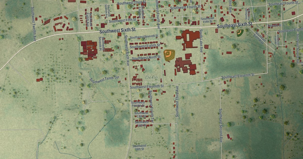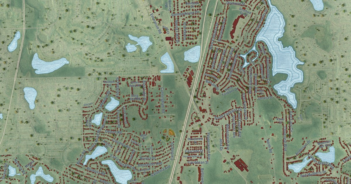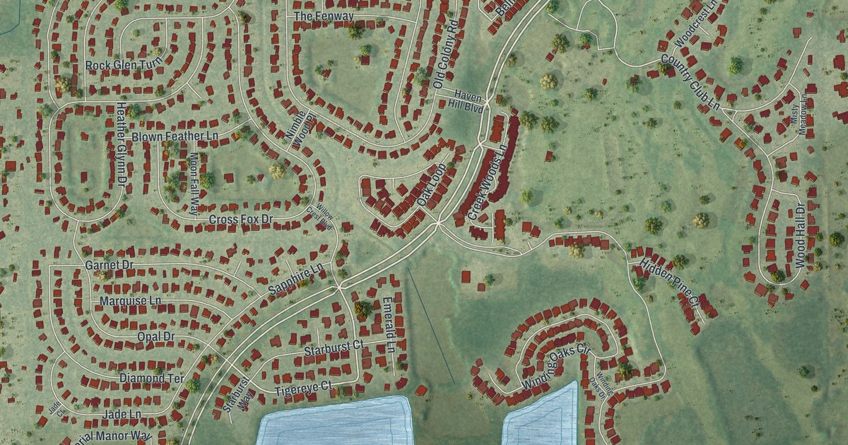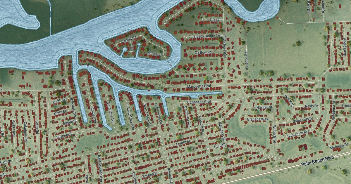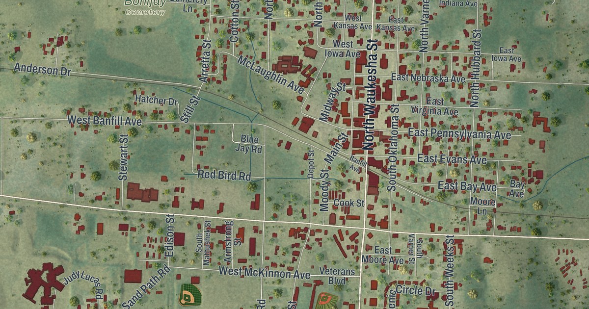
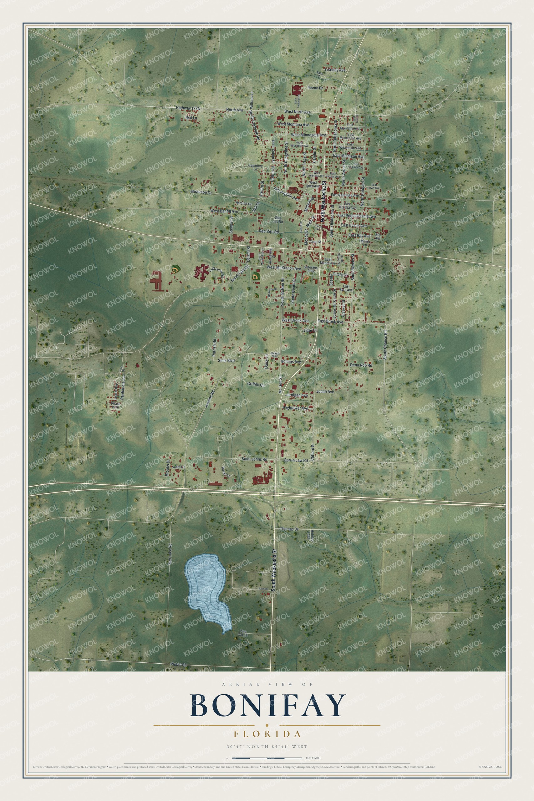
This beautifully detailed map of Bonifay, Florida was created in 2026 using aerial imagery combined with modern topographical, census, street and landmark data. It’s a one-of-a-kind view of Bonifay that combines accurate data with a vintage aesthetic. The map shows every building in its true location, many of the roads carry their names, and the shaded topographic relief shows the shape of the land.
Explore an aerial view of Bonifay, Florida
On the map you’ll find Bonifay Cemetery, along with South Waukesha Street, North Waukesha Street, Pipkin Road, South Chance Road, East Brock Avenue, Son in Law Road, North Avenue, West McKinnon Avenue, Cotton Street, Highway 177A, Arretta Street, and more. If you look closely you can even find your house accurately drawn in its correct location. Zoom in on the preview to look for yours.
Did You Know?
Bonifay began in 1882, as the Pensacola and Atlantic Railroad was being built across the Panhandle of Florida. Railroad executive W. D. Chipley named the stop for Frank Bonifay. Frank came from a well-known Pensacola family that ran a brick factory, and he bought a stake in the railroad.
Take a closer look at the Bonifay map
Names on this map
These names are printed on this map.
Places: Bonifay Cemetery.
Streets and roads: South Waukesha Street, North Waukesha Street, Pipkin Road, South Chance Road, East Brock Avenue, Son in Law Road, North Avenue, West McKinnon Avenue, Cotton Street, Arretta Street, North Tracy Street, East Michigan Avenue.
More street names, A to Z
Anderson Drive, Armstrong Street, Banfill Avenue, Bay Avenue, Beisel Lane, Blue Jay Road, Brooks Drive, Cemetery Lane, Clifford Street, Cook Street, Creswell Street, Daisy Lane, Dena Rob Road, Depot Street, Dusty Road, East Bay Avenue, East Byrd Avenue, East Evans Avenue, East Indiana Avenue, East Iowa Avenue, East Kansas Avenue, East Minnesota Avenue, East Montana Avenue, East Moore Avenue, East Nebraska Avenue, East Pennsylvania Avenue, East Virginia Avenue, East Wisconsin Avenue, Edison Street, Griffith Circle, Hamlin Street, Hatcher Drive, Hightower Avenue, Holmes Avenue, Holmes Loop, Jenkins Boulevard, Jenkins Road, Jernigan Avenue, Judah Avenue, Judy Lucas Road, Lisenby Avenue, Main Street, Mc Gee Street, McKinley Drive, McLaughlin Avenue, Midway Street, Moody Street, Moore Lane, Neil Lane, North Caryville Road, North Cotton Street, North Hubbard Street, North Oklahoma Street, North Rangeline Street, North State Street, North Treadwell Road, North Varner Street, Panhandle Lane, Parrish Road, Pecan Drive, Phase II Circle, Pine Oak Drive, Raley Drive, Red Bird Road, Saint Johns Road, Sand Path Road, Scenic Circle Drive, Scenic Hill Circle Drive, Sideline Boulevard, Sims Boulevard, Smith Drive, South Depot Street, South Mathushek Street, South McGee Road, South Oklahoma Street, Southride Lane, South Varner Street, South Weeks Street, Stewart Street, Still Street, Sun Lake Road, Thomas Drive, Tiller Drive, Veterans Boulevard, West Banfill Avenue, West Brock Avenue, West Iowa Avenue, West Kansas Avenue, West Minnesota Avenue, West Montana Avenue, West North Avenue, West Wisconsin Avenue, Williams Lane.
See it on a wall
The Bonifay map as a framed print. Swipe for more.


This beautifully detailed map of Bonifay makes an attractive addition to your office, library, or den, and it can even be used to teach children the geography and history of the area. It also makes a great gift for anyone who grew up in Bonifay or moved away. When you’re done exploring, click here to get your copy of the Bonifay map.