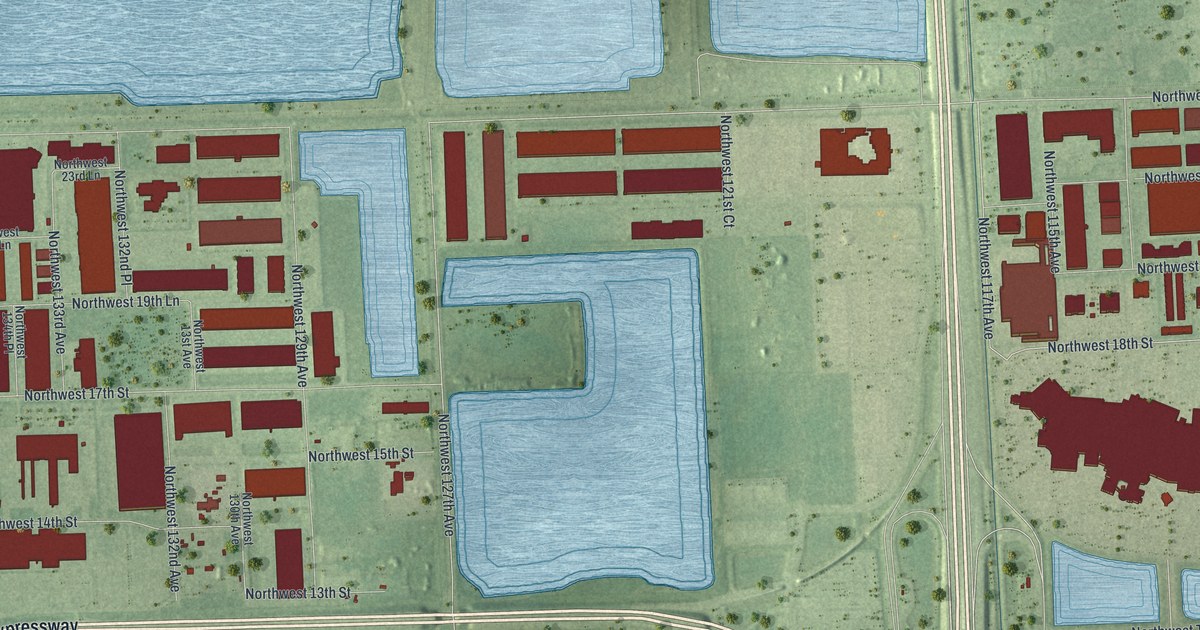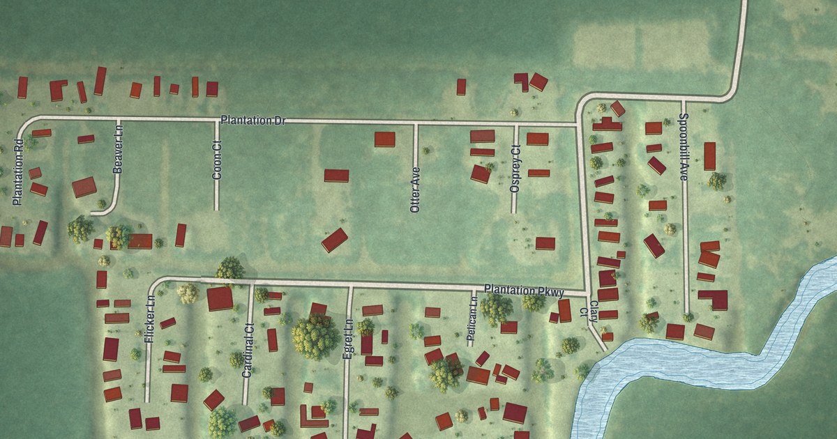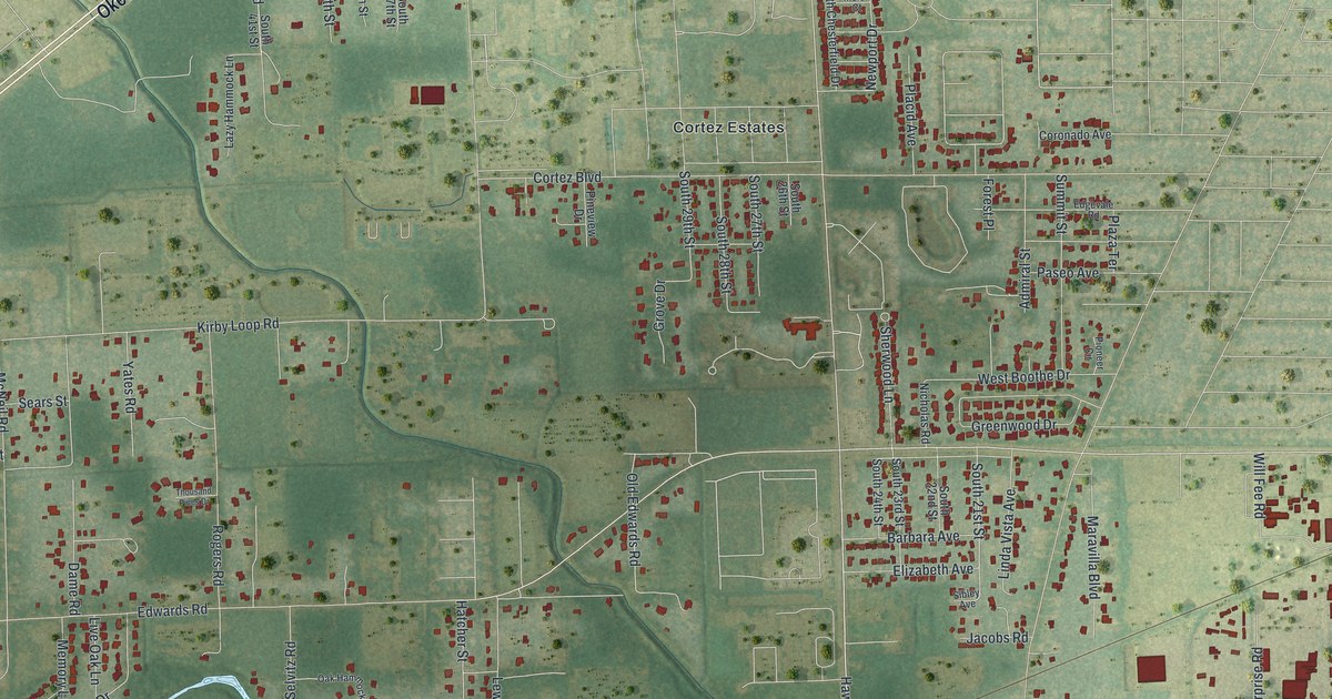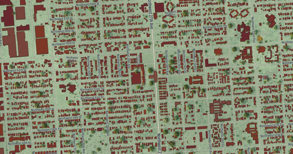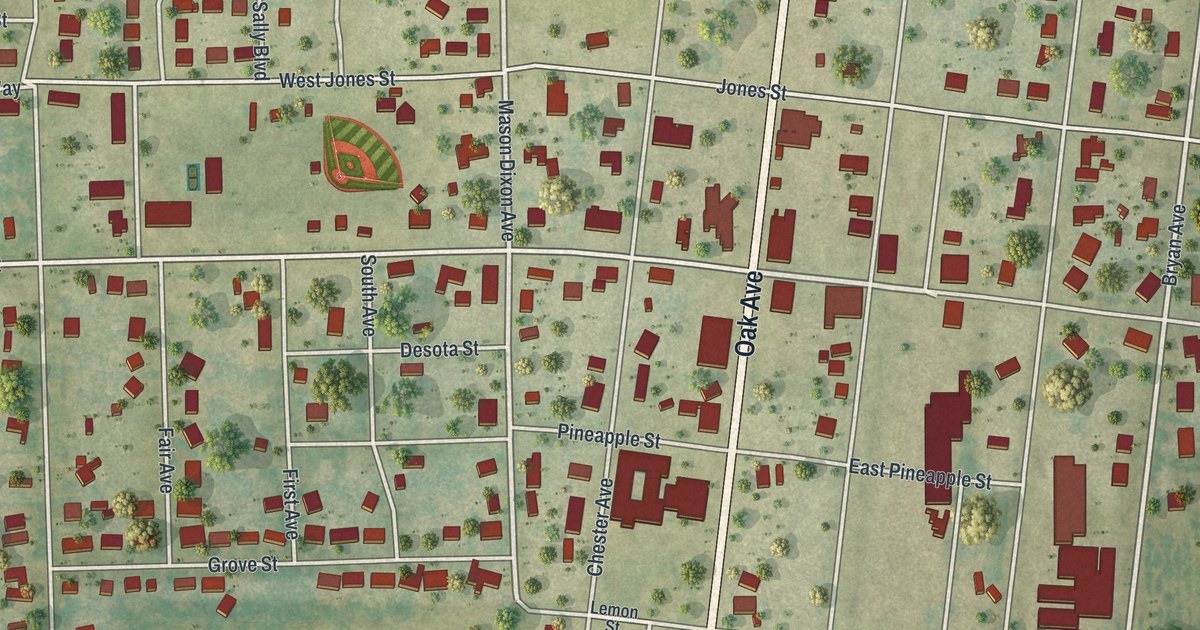
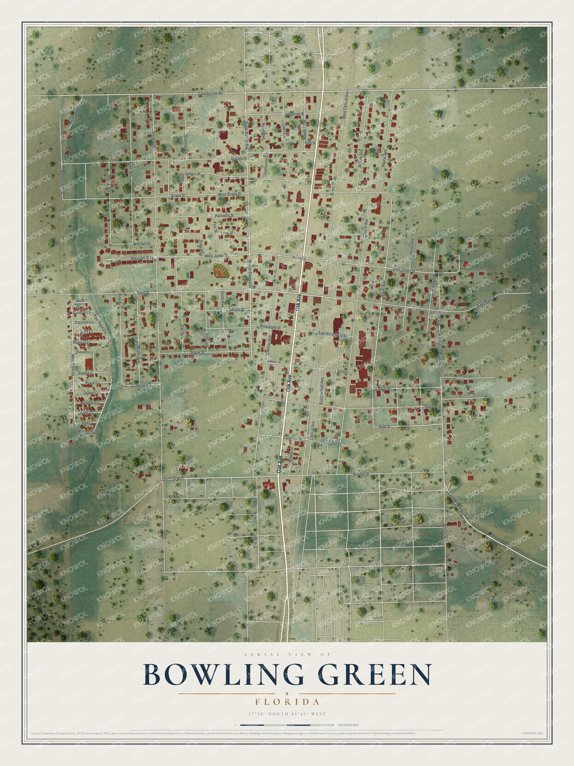
This beautifully detailed map of Bowling Green, Florida was created in 2026 using aerial imagery combined with modern topographical, census, street and landmark data. It’s a one-of-a-kind view of Bowling Green that combines accurate data with a vintage aesthetic. The map shows every building in its true location, many of the roads carry their names, and the shaded topographic relief shows the shape of the land.
Explore an aerial view of Bowling Green, Florida
On the map you’ll find Oak Avenue, East Main Street, Pine Street, West Palm Drive, Lake Branch Road, Hardee Street, Doyle Parker Avenue, Mason Dixon Avenue, Bryan Avenue, Main Street, East Palm Drive, Doc Coil Road, and more. If you look closely you can even find your house accurately drawn in its correct location. Zoom in on the preview to look for yours.
Did You Know?
A.M. Chester, a settler who came from Bowling Green, Kentucky, set up a homestead here in 1883. Three years later he gave 40 acres to the Florida Southern Railway. Citrus groves and phosphate mining grew up around the town. It became an incorporated city in 1927.
Take a closer look at the Bowling Green map
Names on this map
These names are printed on this map.
Streets and roads: Oak Avenue, East Main Street, Pine Street, West Palm Drive, Lake Branch Road, Hardee Street, Doyle Parker Avenue, Mason Dixon Avenue, Bryan Avenue, Main Street, East Palm Drive, Doc Coil Road.
More street names, A to Z
Avon Street, Bamboo Lane, Banana Street, Bookertee Avenue, Central Avenue, Chester Avenue, Church Avenue, Cliett Avenue, Cocoanut Street, Coconut Lane, Coconut Street, County Line Road, Date Lane, Desota Street, Dixiana Drive, East Central Avenue, East Jones Street, East Pineapple Street, Edison Avenue, Epps Avenue, Fair Avenue, Fan Lane, Feather Lane, First Avenue, First Street, Freeman Avenue, Grape Street, Grove Street, Howard Avenue, Jones Street, King Lane, Lake Branch Road Northeast, Lemon, Lemon Street, Lynn Street, Manila Lane, Maple Avenue, Middle Drive, Minor Avenue, Mitchell Street, Myrick Avenue, North Palm Drive, Orange Street, Palmetto Lane, Palmetto Street, Palm Street, Pineapple Street, Pine Avenue, Pleasant Way, Poplar Avenue, Queen Lane, Royal Lane, Sabal Lane, Sally Boulevard, Sellers Street, Sixth Avenue, Snelling Avenue, South Avenue, South Palm Drive, Spruce Street, Starke Avenue, Tangerine Street, Thomas Avenue, Troublesome Avenue, West Central Avenue, West Grape Street, West Jones Street, Willow Avenue.
See it on a wall
The Bowling Green map as a framed print. Swipe for more.


This beautifully detailed map of Bowling Green makes an attractive addition to your office, library, or den, and it can even be used to teach children the geography and history of the area. It also makes a great gift for someone who left Bowling Green and still calls it home. When you’re done exploring, click here to get your copy of the Bowling Green map.