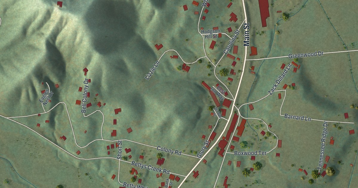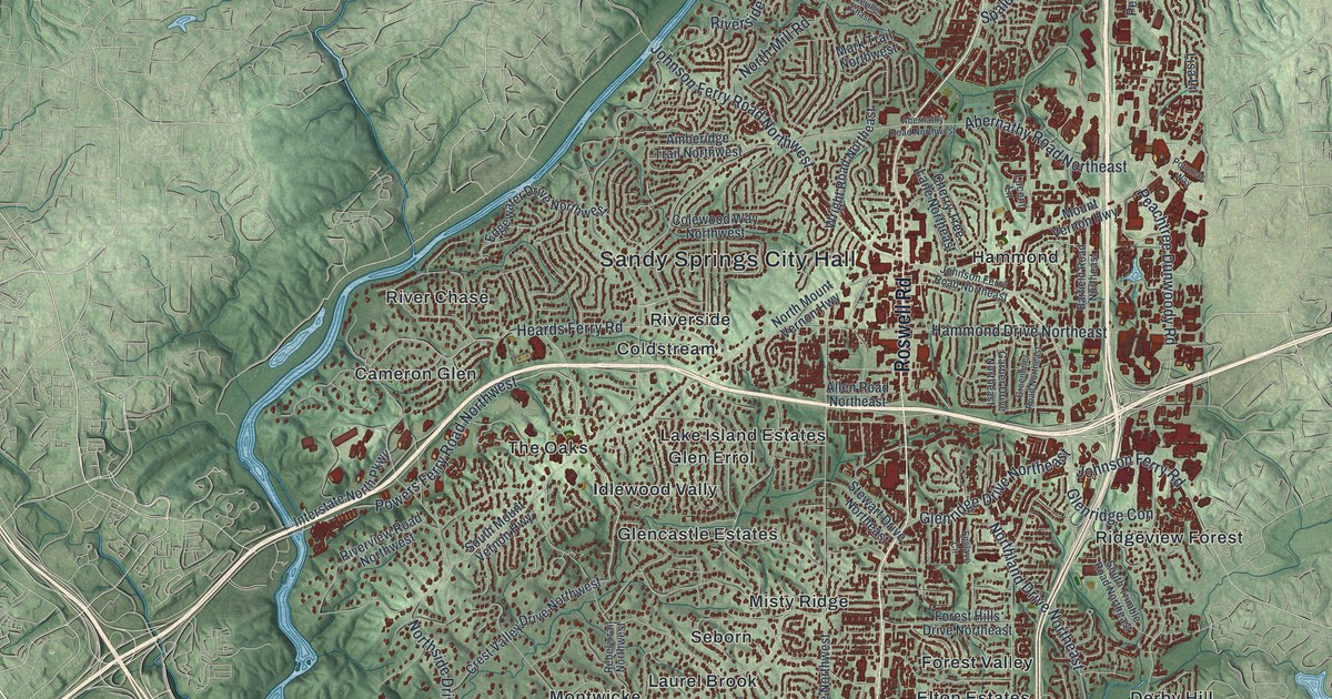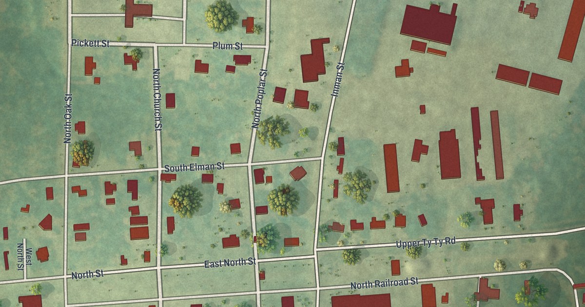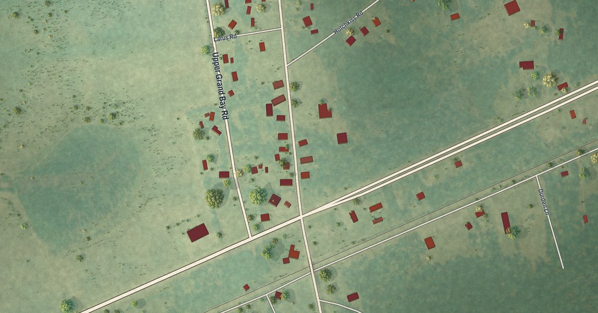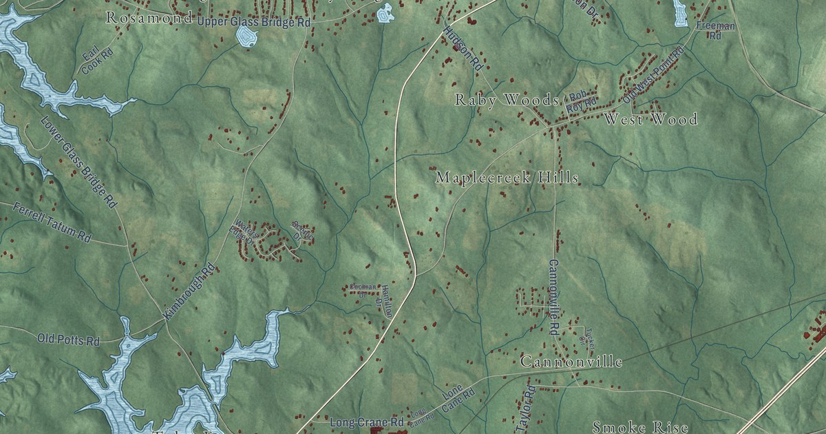
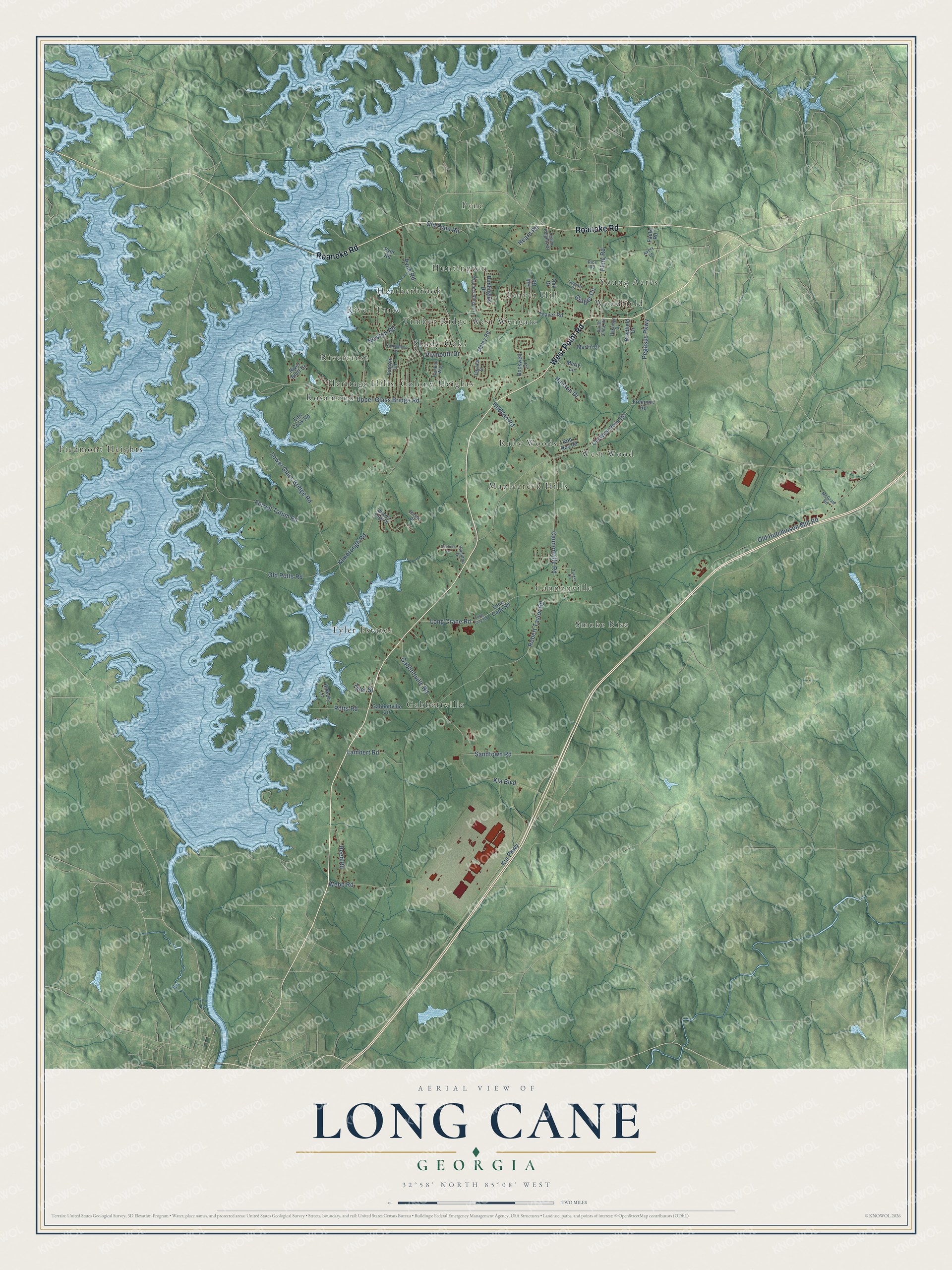
This beautifully detailed map of Long Cane, Georgia was created in 2026 using aerial imagery combined with modern topographical, census, street and landmark data. It’s a one-of-a-kind view of Long Cane that combines accurate data with a vintage aesthetic. The map shows every building in its true location, many of the roads carry their names, and the shaded topographic relief shows the shape of the land.
Explore an aerial view of Long Cane, Georgia
On the map you’ll find Rosamond, Woodfield, Gabbettville, Piedmont Heights, Smoke Rise, West Wood, Heatherbrook, Pyne, Maplecreek Hills, Colony Heights, West Wyngate, Tyler Estates, and more. If you look closely you can even find your house accurately drawn in its correct location. Zoom in on the preview to look for yours.
Did You Know?
From Internet Archive: "Thomas Newton of the Presbytery of Hopewell were in 1821 set up by the Synod at meeeing at Upper Long Cane, Nov. 9, 1820, into a Presbytery known as the Presbytery of Alabama, which name was afterwards changed into South Alabama, to distinguish it from North Alabama."
Long Cane is a community in Troup County.
Take a closer look at the Long Cane map
Names on this map
These names are printed on this map.
Places: Rosamond, Woodfield, Gabbettville, Piedmont Heights, Smoke Rise, West Wood, Heatherbrook, Pyne, Maplecreek Hills, Colony Heights, West Wyngate, Tyler Estates, Rivercrest, Cannonville, Teaver Hill, River Trace, Shady Oaks, Huntington, Raby Woods, Timber Ridge, Heritage Hills and Young Acres.
Streets and roads: West Point Road, Roanoke Road, Cannonville Road, Gabbettville Road, Pegasus Parkway, Upper Glass Bridge Road, Lower Glass Bridge Road, Old Hutchinson Mill Road, Kimbrough Road, Pyne Road, Robert Taylor Road, Long Crane Road.
More street names, A to Z
Avery Lane, Bradfield Drive, Cochran Drive, Connie Drive, Cumberland Drive, Earl Cook Road, Faulk Road, Ferrell Tatum Road, Fling Road, Franklin Way, Freeman Road, Gabbettville Circle, Ginger Circle, Hamilton Drive, Hanson Drive, Hearn Road, Hickory Lane, Hill Road, Hudson Road, Huntington Drive, Kia Boulevard, Kia Parkway, Lambert Road, Lincoln Lane, Lone Cane Road, Long Cane Road, Maley Road, Martin Drive, Marty Lane, McGraw Road, Newton Road, Oakdale Drive, Oak Drive, Oakridge Drive, Old Potts Road, Old Pyne Road, Old West Point Road, Planters Ridge Drive, Plymouth Drive, Potts Road, Pynr Road, Reed Road, Rice Road, River Bluff Drive, Rob Roy Road, Rockwell Drive, Sandtown Road, Scenic Drive, South Fling Road, Tatum Heights Drive, Teaver Road, Tucker Circle, Tyler Street, Waters Edge Drive, Webb Road.
See it on a wall
The Long Cane map as a framed print. Swipe for more.


This beautifully detailed map of Long Cane makes an attractive addition to your office, library, or den, and it can even be used to teach children the geography and history of the area. It also makes a great gift for anyone who grew up in Long Cane or moved away. When you’re done exploring, click here to get your copy of the Long Cane map.