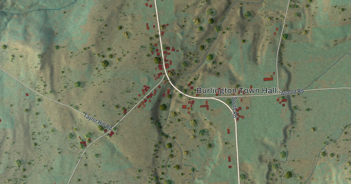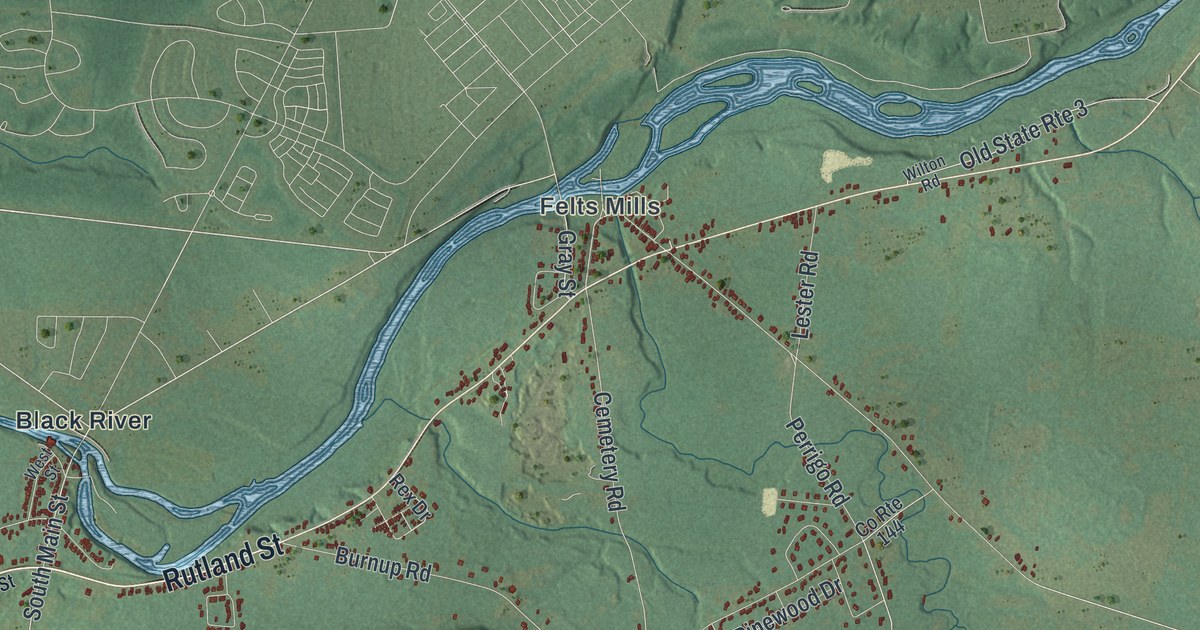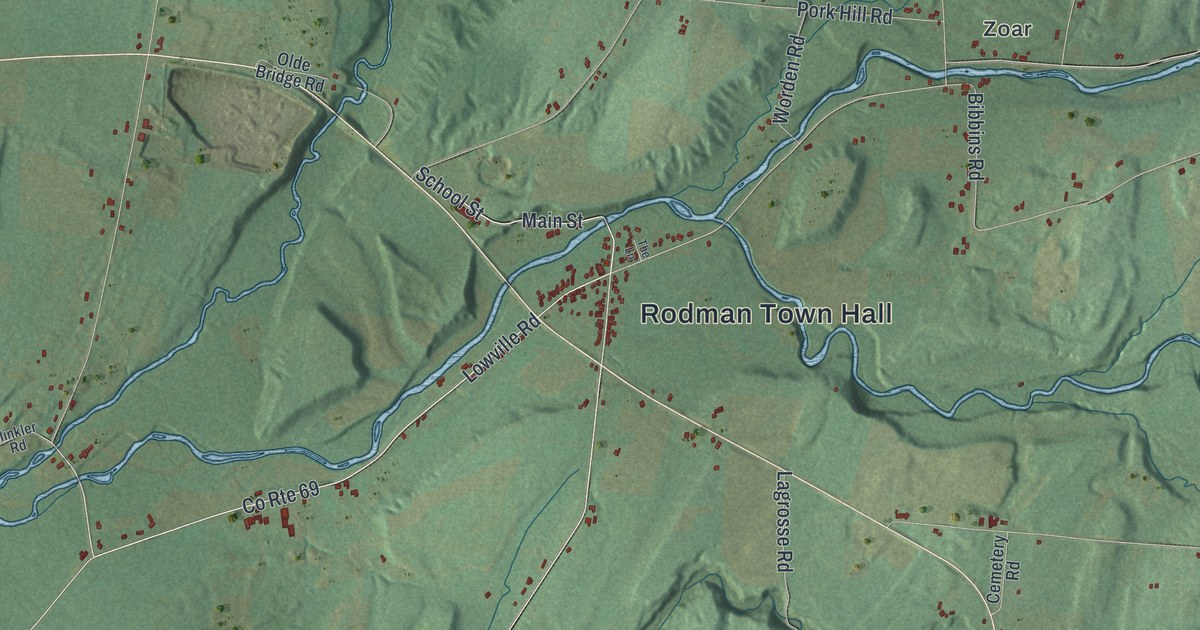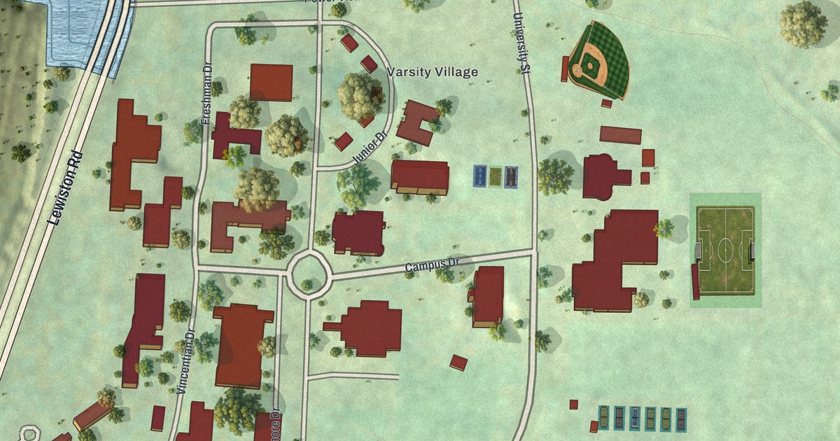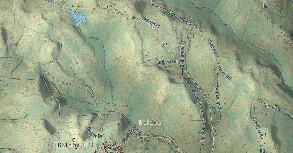
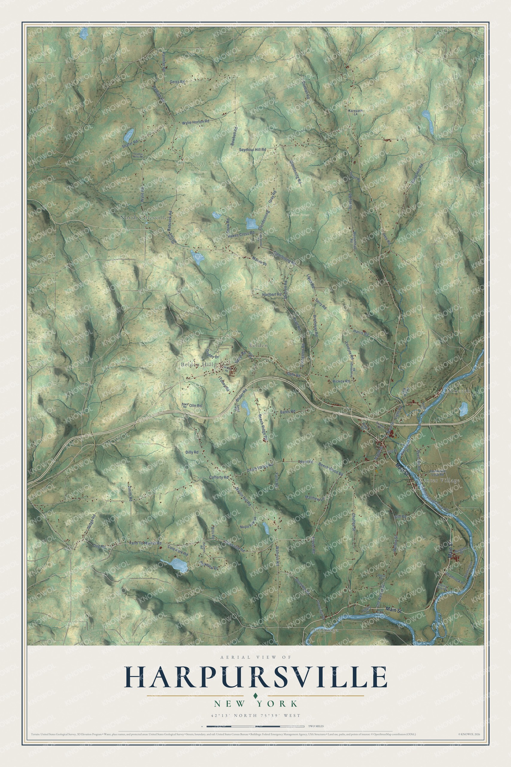
This beautifully detailed map of Harpursville, New York was created in 2026 using aerial imagery combined with modern topographical, census, street and landmark data. It’s a one-of-a-kind view of Harpursville that combines accurate data with a vintage aesthetic. The map shows every building in its true location, many of the roads carry their names, and the shaded topographic relief shows the shape of the land.
Explore an aerial view of Harpursville, New York
On the map you’ll find Ouaquaga, Beaver Flow State Forest, Bobell State Forest, Belden Hill, Nineveh, Center Village, North Colesville, and Belden, along with Main Street, Maple Street, Lovejoy Road, Farm To Market Road, and more. If you look closely you can even find your house accurately drawn in its correct location. Zoom in on the preview to look for yours.
Did You Know?
From Internet Archive: "The pioneer of Colesville was John Lamphere, who settled here in 1785, locating near the site of Harpursville."
Harpursville is a community in Broome County.
Take a closer look at the Harpursville map
Names on this map
These names are printed on this map.
Places: Ouaquaga, Beaver Flow State Forest, Bobell State Forest, Belden Hill, Nineveh, Center Village, North Colesville and Belden.
Streets and roads: Main Street, Maple Street, Lovejoy Road, Farm To Market Road, Cafferty Road, Martin Hill Road, Davey Road, Skellett Road, Watrous Road, Death Valley Road, Beech Ridge Road, Clendening Road.
More street names, A to Z
Allen Road, Babcock Road, Babcock Road Spr, Bates Road, Beech Wood Road, Bluler Road, Bowbell Road, Brotzman Road, Burgess Place, Centervillage Loop Road, Centerville Loop Road, Chaffee Street, Clendenning, Clendenning Road, Cole Park Road, Colesville Road, Craver Road, Cueball Road, Cumber Road, Deere Drive, Dilly Road, Doolittle Road, Dudley Drive, Dug Road, Dyer Flat Road, Gehr Road, Geiss Road, Gilg Place, Glendening Road, Gray Road, Hakes Cross Road, Harris Road, Hickox Road, Hillary Drive, Hurd Road, Hurlbert Road, Ives Road, Johnson Road, Joslyn Road, Kareyann Lane, King Road, Light Road, Lippa Road, Livingston Road, Lyon Creek, Maple Row Road, Marvin Place, Matthew Lane, McCoy Road, Mendenhall Road, Mills Road, Oak Hill Road, Old Welton Street, Olin Road, Ouaquaga Road, Palmiter Road, Paradise Valley Road, Parkview Drive, Pine Place, Pratt Road, Raleigh Road, Ridge Road, Riverview Place, Rolling Acres Drive, Seymour Hill Road, Shafer Road, Shamrock Place, Smith Road, Snow Road, Soremburger Road, Sova Road, Spear Road, Still Road, Stone Hill Road, Terry Road, Tirrell Road, Tobey Road, Washington Place, Welton Street, Wylie Horton Road, Wylie Road, Yarns Road.
See it on a wall
The Harpursville map as a framed print. Swipe for more.


This beautifully detailed map of Harpursville makes an attractive addition to your office, library, or den, and it can even be used to teach children the geography and history of the area. It also makes a great gift for anyone with Harpursville roots. When you’re done exploring, click here to get your copy of the Harpursville map.