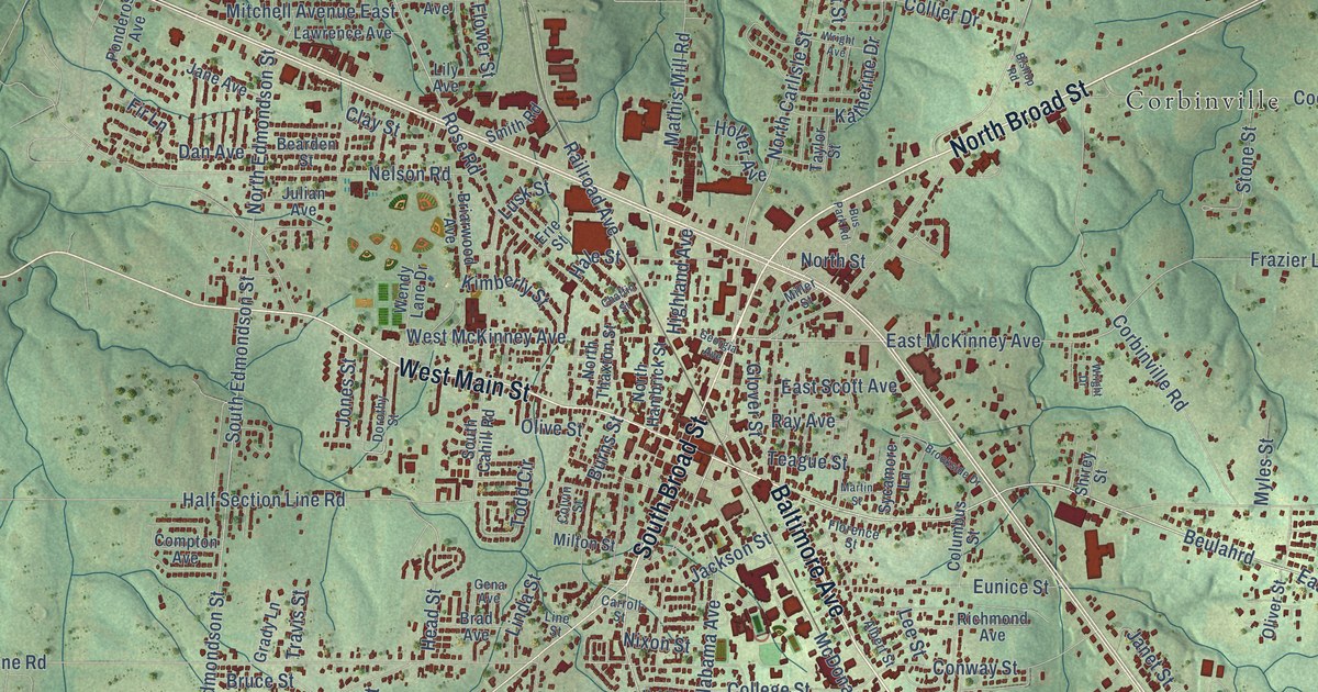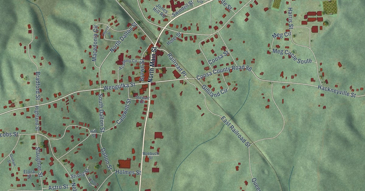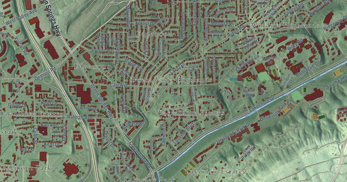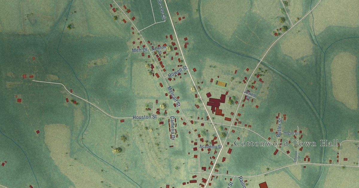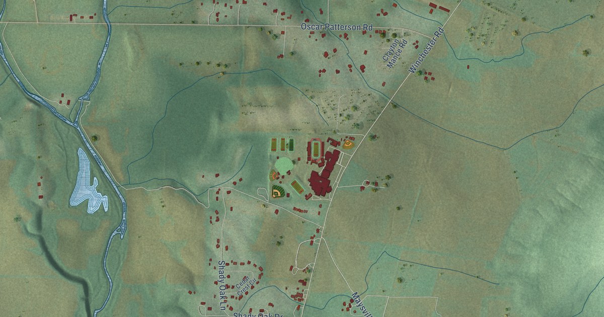
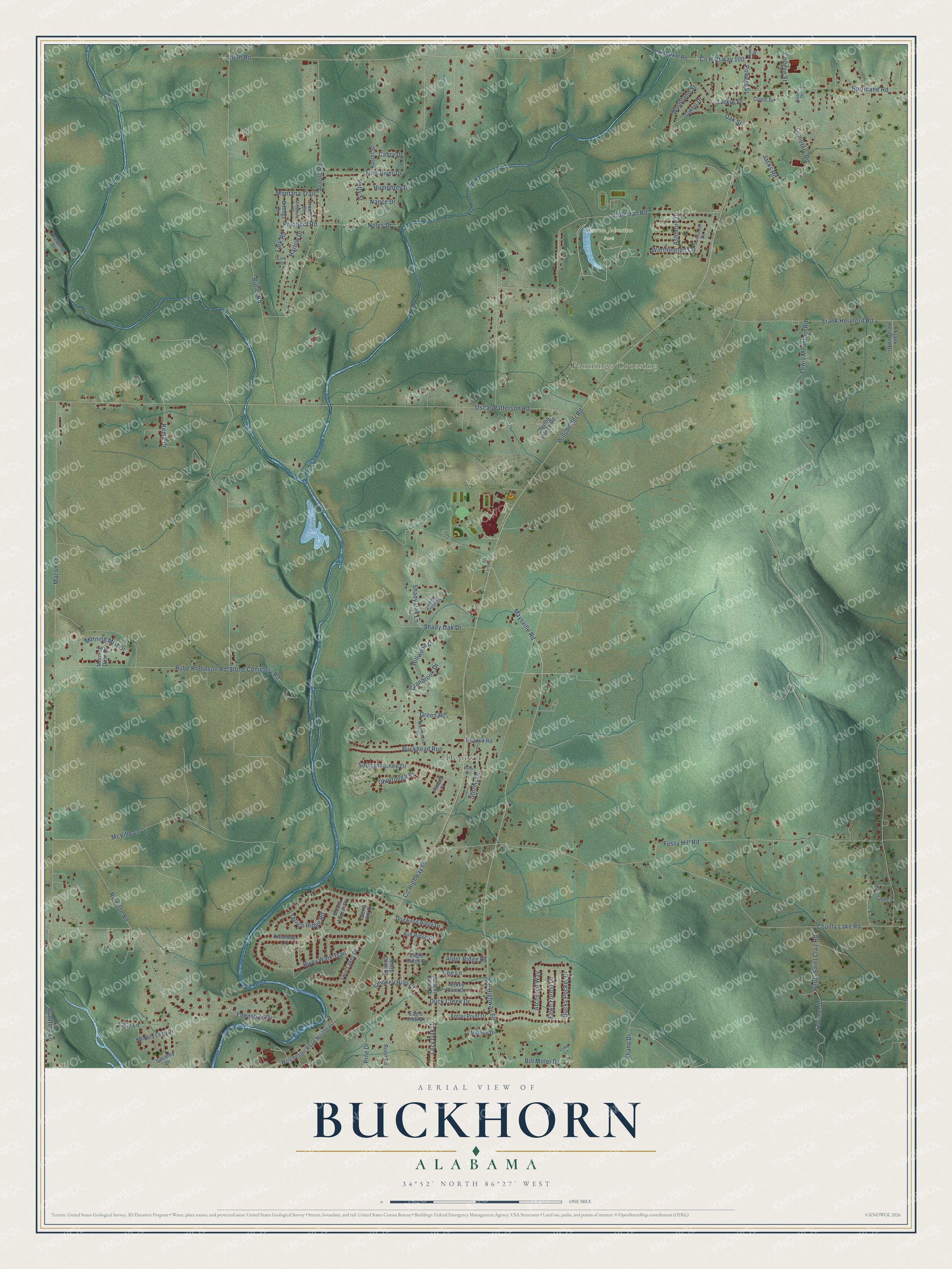
This beautifully detailed map of Buckhorn, Alabama was created in 2026 using aerial imagery combined with modern topographical, census, street and landmark data. It’s a one-of-a-kind view of Buckhorn that combines accurate data with a vintage aesthetic. The map shows every building in its true location, many of the roads carry their names, and the shaded topographic relief shows the shape of the land.
Explore an aerial view of Buckhorn, Alabama
On the map you’ll find Fannings Crossing, Deposit, and Sharon Johnston Park, along with Rube Robinson Road, Prospect Road, Larkin Street, County Highway 65, Winchester Road, Maysville Road, Oscar Patterson Road, County Highway 69, County Lake Road, and more. If you look closely you can even find your house accurately drawn in its correct location. Zoom in on the preview to look for yours.
Did You Know?
From Internet Archive: "The main streams are the Pea River and its tributaries, Big Creek, Richland, and Buckhorn Creeks, and the Conecuh River and its tributaries, Patsaliga, Olustee, and Mill Creeks."
Buckhorn is a community in Madison County.
Take a closer look at the Buckhorn map
Names on this map
These names are printed on this map.
Places: Fannings Crossing, Deposit and Sharon Johnston Park.
Streets and roads: Rube Robinson Road, Prospect Road, Larkin Street, County Highway 65, Winchester Road, Maysville Road, Oscar Patterson Road, County Highway 69, County Lake Road, Hurricane Road, Lewis Mountain Road, Riverton Road.
More street names, A to Z
Alder Ridge Drive, Antler Point Drive, Archered Way, Arnold Road, Ashmore Drive, Ash Ridge Drive, Beechnut Drive, Berry Hill Drive, Beth Road, Billings Drive, Bill Miller Drive, Bradford Lane, Buckhead Run, Bucks Pocket Drive, Buffy Drive, Butler Road, Cabry Drive, Cedar Crest Circle, Cemetery Road, Chattooga Place, Church Street, Clayton Mance Road, Clinic Street, Coleman Road, College Street, County Highway 100, Cramer Drive, Cranbrook Drive, Deposit Road, Dogwood Ridge Drive, Duck Creek Drive, Eagle Ridge Drive, Eagle View Drive, Edenshire Drive, Fawn Forest Drive, Flint River Drive, Frank Hereford Drive, Frank Hereford Road, Fussy Hill Road, Green Road, Gwen Drive, Harlow Drive, Henry Saint Clair Road, Hillwood Drive, Humphrey Drive, Hurricane Circle, Jacks Road, Kambry Leah Drive, Kema Drive, Koster Street, Lacy Lane, Lark Road, Lazy Oak Drive, Link Road, Luke Lane, Macon Lane, Malone Drive, McVille Lane, Missoula Road, Misty Cove Court, Montana Trail, Morning Dove Drive, Morning Mist Drive, Mount Laurel Circle, Nance Drive, Naomi Drive, New Market Road, Noles Drive, Oak Street, Petty Street, Pine Drive, Pintlalla Place, Portsmouth Circle, Powers Street, Ravens Crest Drive, Reed Road, Riverchase Road, River Walk Trail, Riverway Lane, Schuman Drive, Shady Oak Drive, Shady Oak Lane, Shane Drive, Smithey Lane, Smokey Hills Court, Sougahatchee Drive, Stone Cemetery Road, Stormy Drive, Tellico Ridge Road, Tine Lane, Turkey Point Drive, Twin Lakes Drive, Winchester Road Northeast, Woodland Street, Worthington Circle.
See it on a wall
The Buckhorn map as a framed print. Swipe for more.


This beautifully detailed map of Buckhorn makes an attractive addition to your office, library, or den, and it can even be used to teach children the geography and history of the area. It also makes a great gift for someone who left Buckhorn and still calls it home. When you’re done exploring, click here to get your copy of the Buckhorn map.