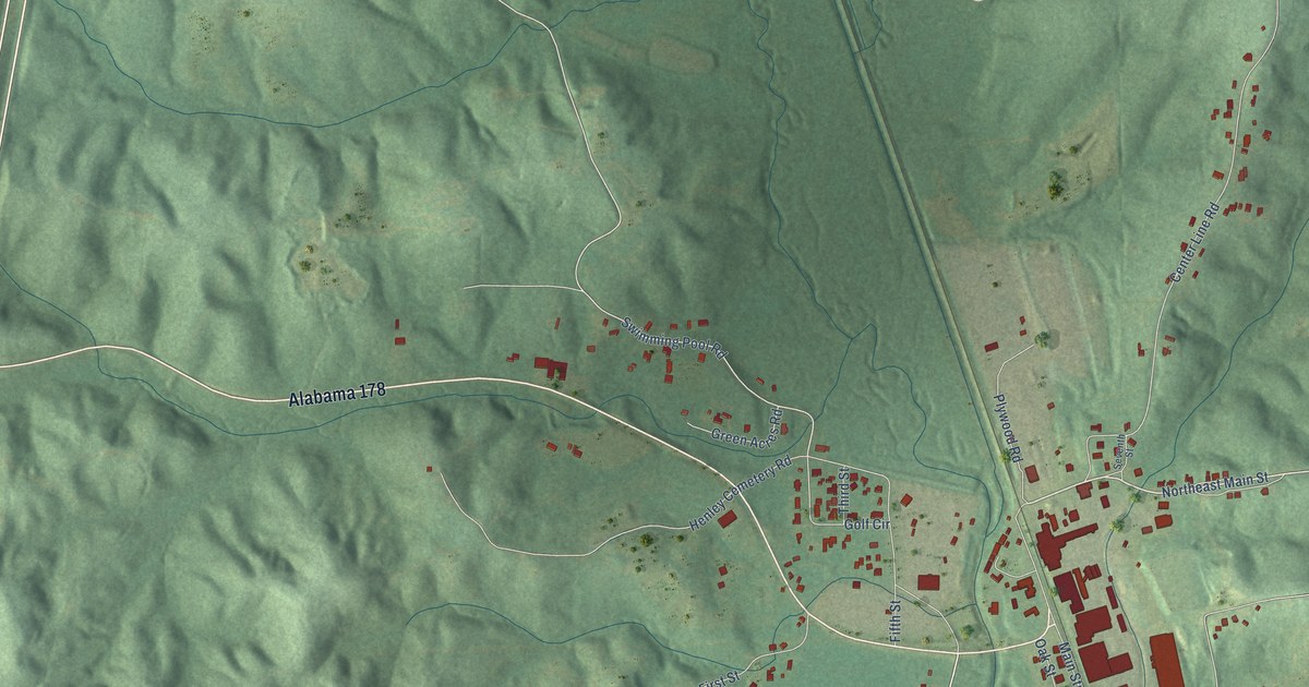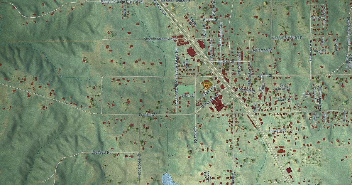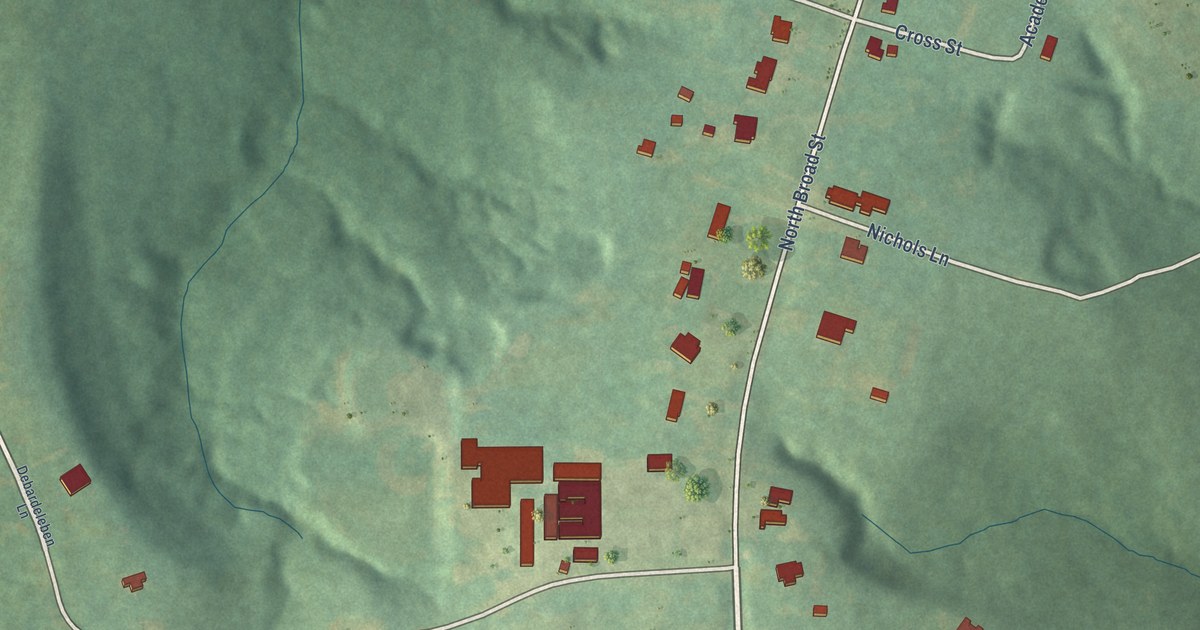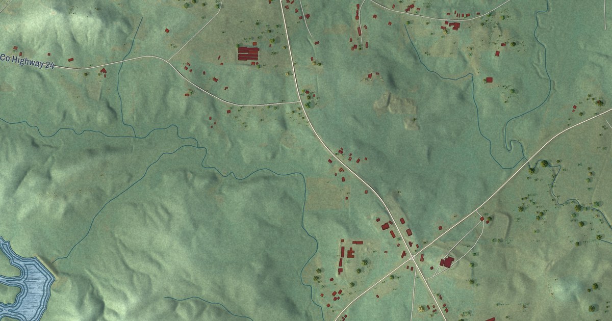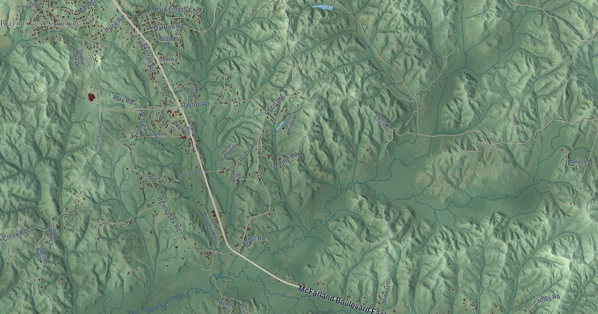
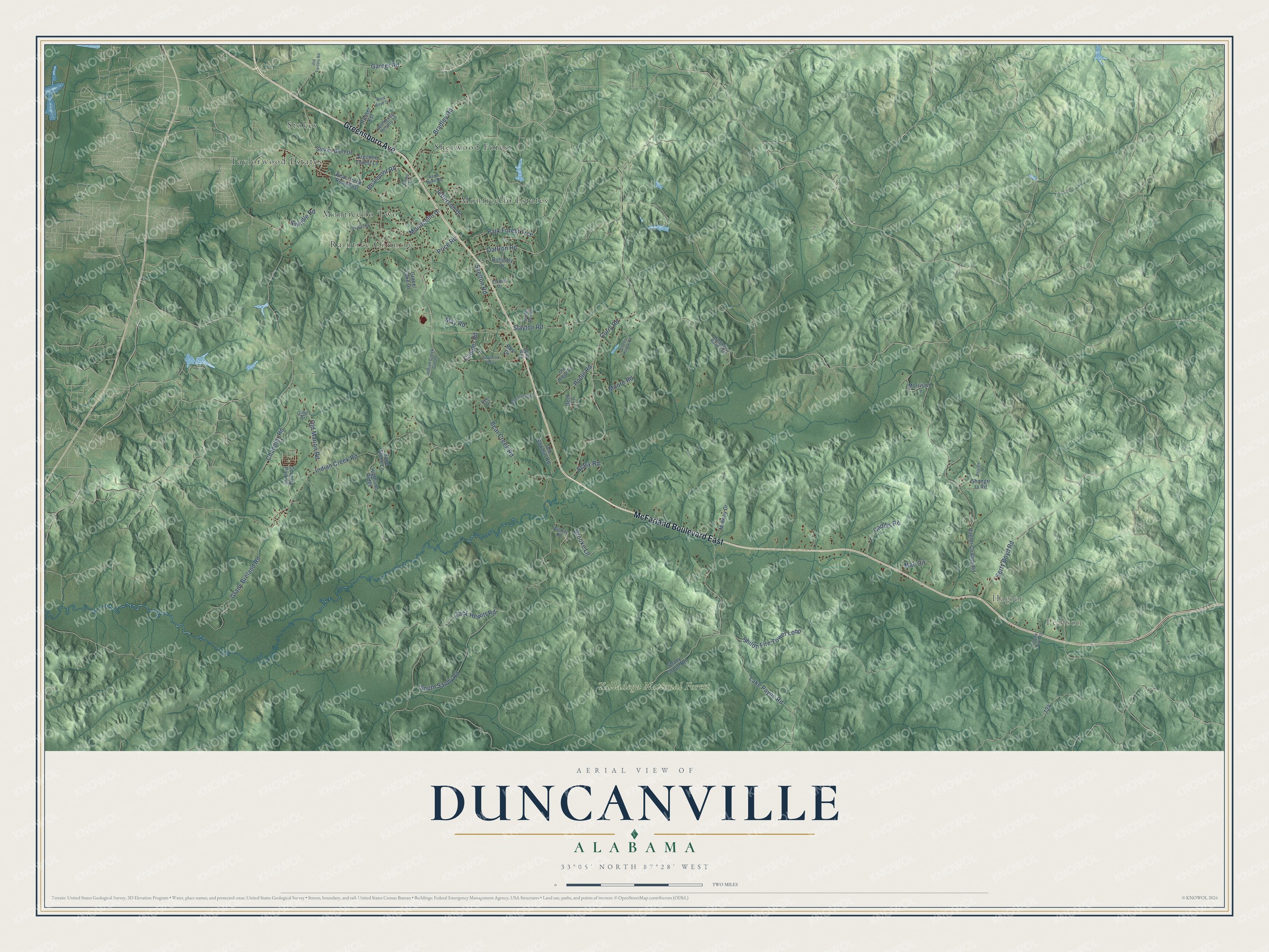
This beautifully detailed map of Duncanville, Alabama was created in 2026 using aerial imagery combined with modern topographical, census, street and landmark data. It’s a one-of-a-kind view of Duncanville that combines accurate data with a vintage aesthetic. The map shows every building in its true location, many of the roads carry their names, and the shaded topographic relief shows the shape of the land.
Explore an aerial view of Duncanville, Alabama
On the map you’ll find Pearson, Hagler, Talladega National Forest, Stokes, Raintree Country, Monticello Estates, Taylorwood Estates, Sherwood Forest, and Monticello Two, along with Greensboro Avenue, McFarland Boulevard East, Bearmont Road, and more. If you look closely you can even find your house accurately drawn in its correct location. Zoom in on the preview to look for yours.
Take a closer look at the Duncanville map
Names on this map
These names are printed on this map.
Places: Pearson, Hagler, Talladega National Forest, Stokes, Raintree Country, Monticello Estates, Taylorwood Estates, Sherwood Forest and Monticello Two.
Streets and roads: Greensboro Avenue, McFarland Boulevard East, Bearmont Road, Lake Payne Road, South Sandy Road, Bear Creek Road, Indian Creek Road, Shiloh Fire Tower Loop, Old Marion Road, Zack Hewitt Road, Curry Road, Grady Breland Road.
More street names, A to Z
Aaon Luke Road, Argonne Forest Lane, Bama Drive, Bear Creek Road East, Beck Lane, Belview Drive, Bradley Road, Brooke Lane, Butterfly Drive, Caddis Road, Camper Road, Chandler Road, Cooley Town Road, Country Park Drive, Daffron Road, Deer Drive, Double Gate Est, Emmitt Drive, Garner Road, Gillie Drive, Grace Lake Drive, Hagler Coaling Road, Hargrove Road East, Highland Ridge, Indian Creek Cutoff, Jefferson Drive, Jug Factory Road, Mac Circle, May Road, Midway Drive, Monticello Drive, Moore Road, Morrison Lane, Old Ridge Road, Old Sawmill Road, Opal Way, Park Forest Trce, Poole Road, Price Road, Propst Road, Rbs Drive, Rosser Est, Sand Stone Lane, Serty Boyd Road, Shady Grove Road, Shangri la Road, Skelton Road, Slayton Road, Sleepy Hollow Road, Southfork Thrwy, Stacy Road, Stokes Bluff Drive, Swindle Road, Ward Boyd Drive, Whisperwood Lane, Wildlife Road, Wuthering Heights Lane.
See it on a wall
The Duncanville map as a framed print. Swipe for more.


This beautifully detailed map of Duncanville makes an attractive addition to your office, library, or den, and it can even be used to teach children the geography and history of the area. It also makes a great gift for someone who left Duncanville and still calls it home. When you’re done exploring, click here to get your copy of the Duncanville map.