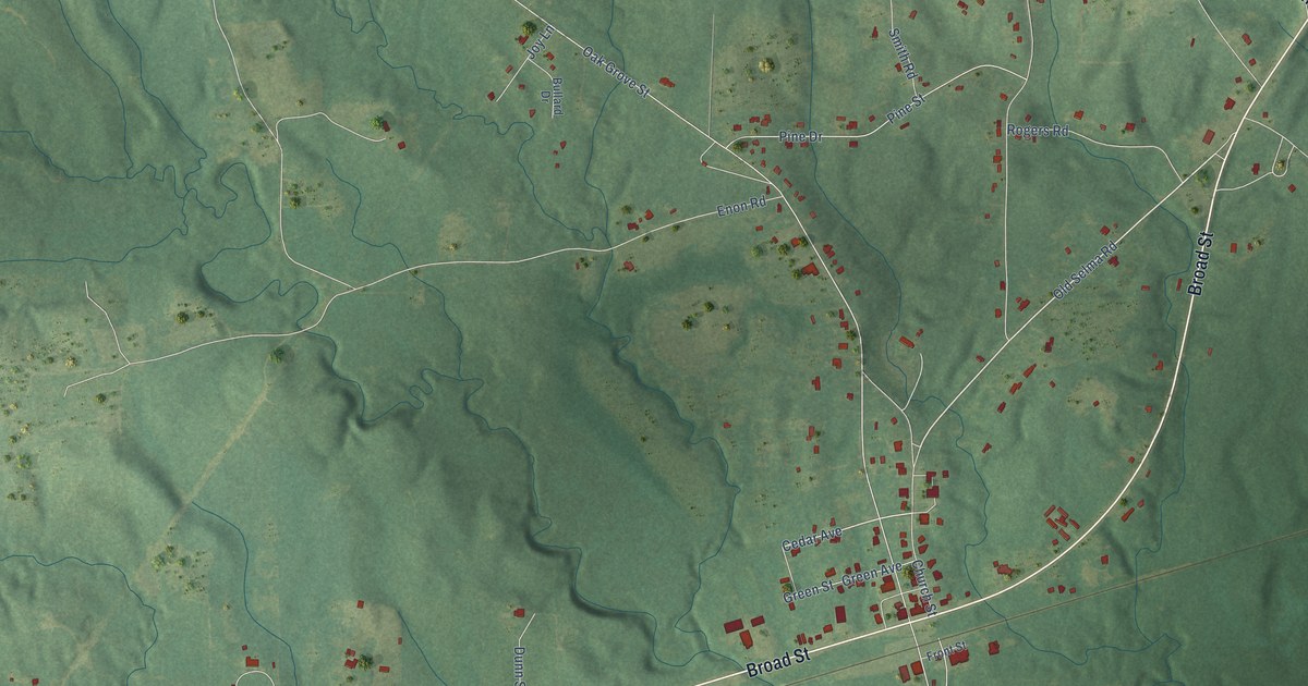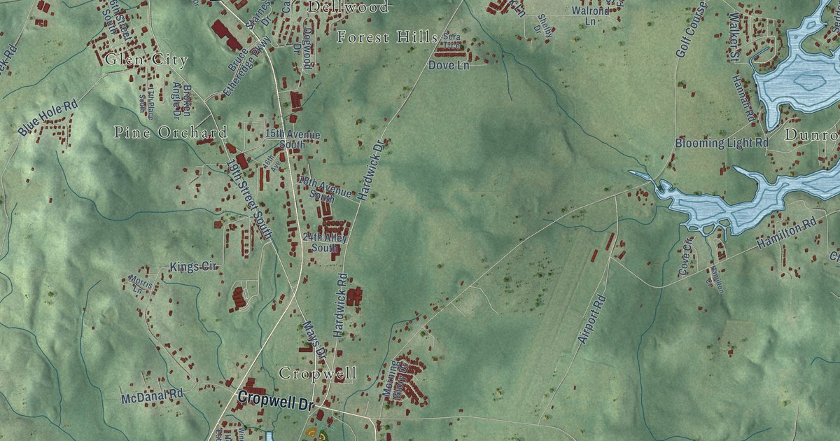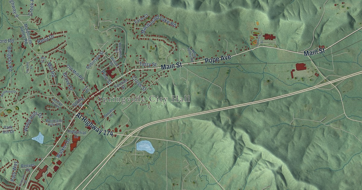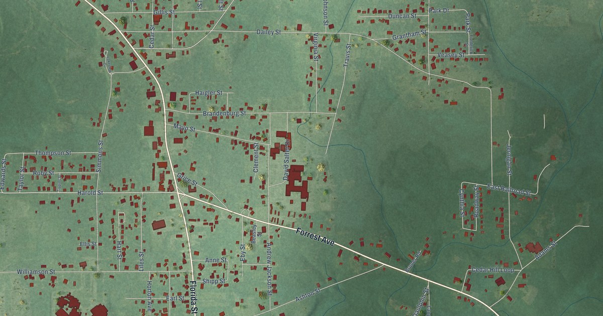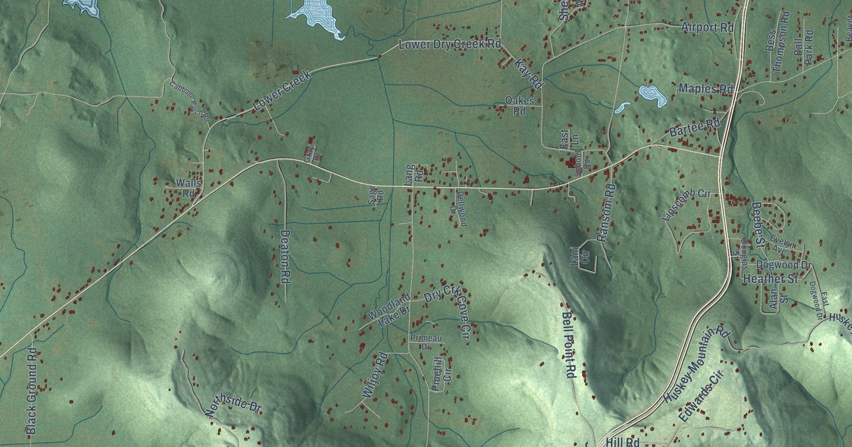
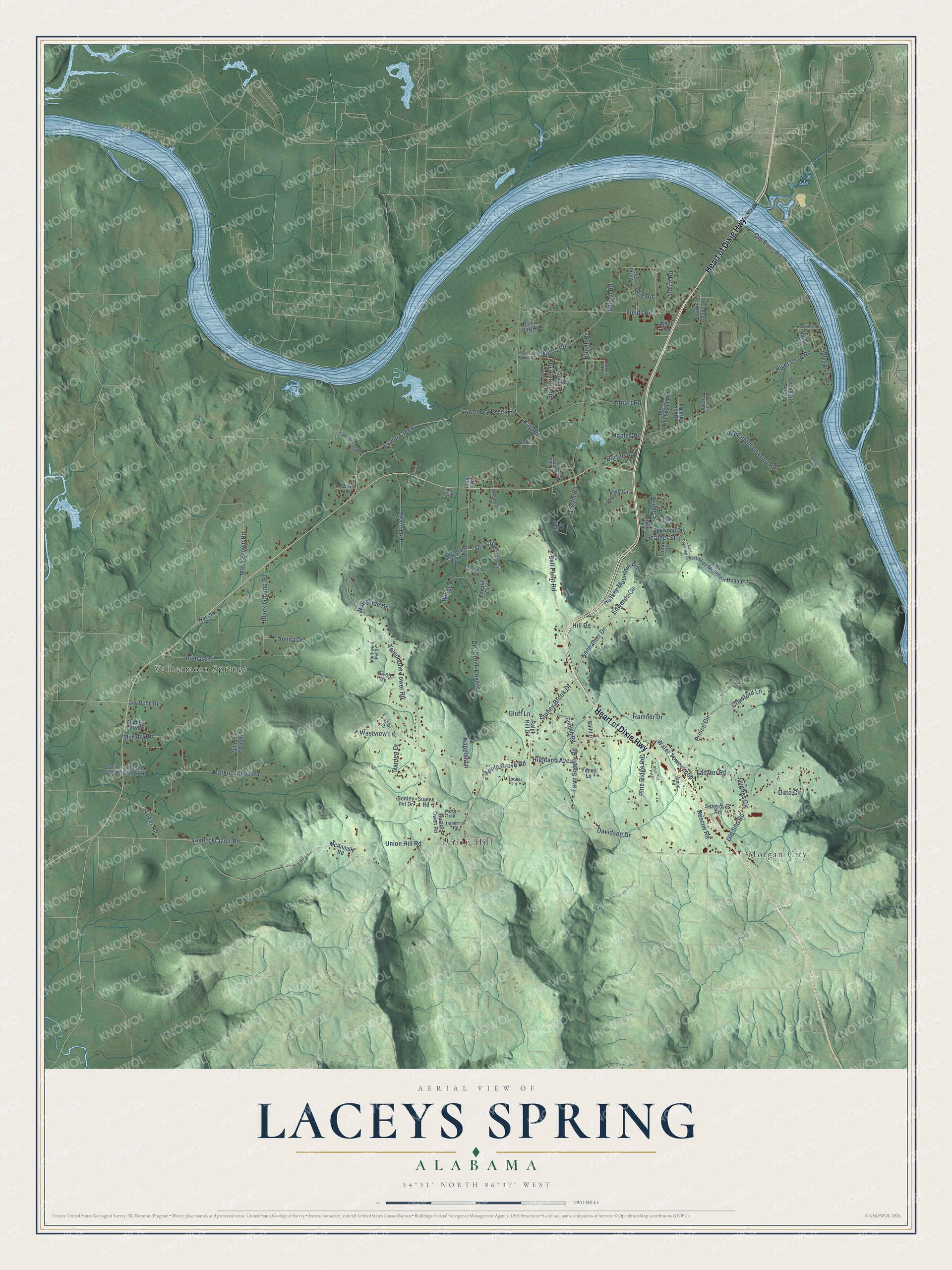
This beautifully detailed map of Laceys Spring, Alabama was created in 2026 using aerial imagery combined with modern topographical, census, street and landmark data. It’s a one-of-a-kind view of Laceys Spring that combines accurate data with a vintage aesthetic. The map shows every building in its true location, many of the roads carry their names, and the shaded topographic relief shows the shape of the land.
Explore an aerial view of Laceys Spring, Alabama
On the map you’ll find Union Hill, Morgan City, and Valhermoso Springs, along with Heart of Dixie Highway, Union Hill Road, Stoney Brook Drive, Davidson Drive, Kennamer Drive, Heather Street, Telephone Tower Road, McCutcheon Loop Road, Dry Creek Cove Road, and more. If you look closely you can even find your house accurately drawn in its correct location. Zoom in on the preview to look for yours.
Did You Know?
From Internet Archive: "Flint, Trinity, Lacon, and Falkville are small railroad towns, and Somerville, Center Grove, Eva, Laceys Spring, Valhermoso Springs, Florette, and Hulaco are small trading centers off the railroad."
Laceys Spring is a community in Morgan County.
Take a closer look at the Laceys Spring map
Names on this map
These names are printed on this map.
Places: Union Hill, Morgan City and Valhermoso Springs.
Streets and roads: Heart of Dixie Highway, Union Hill Road, Stoney Brook Drive, Davidson Drive, Kennamer Drive, Heather Street, Telephone Tower Road, McCutcheon Loop Road, Dry Creek Cove Road, Lower Creek, Lower Dry Creek Road, River Loop Road.
More street names, A to Z
Airport Road, Alan Street, Amherst Drive, Apple Grove Road, Arnon Road, Ball Park Road, Bartee Road, Beaver Creek Road, Beebe Street, Bell Point Road, Bess Thompson Road, Black Ground Road, Black Oak Road, Blue Sky Pvt Drive, Bluff Lane, Borden Road, Buster Owen Road, Cabbage Patch Road, Calvert Road, Coffee Bluff Road, Cold Stream Road, Collins Cem Road, Crawford Lane, Darden Drive, Day Rolfe Road, Deaton Road, Dellwood Drive, Ditto Circle, Dogwood Drive, Donna Drive, Double Creek Road, Douglas Street, Dry Crk Cove Circle, Dudley Road, East Dogwood Drive, East Lane, Edwards Circle, Evelyn Avenue, Farm Supply Road, Fields Road, Given Cv, Glengarry Drive, Gray Drive, Hambrick Road, Hamner Drive, Highland Avenue, Hill Road, Hough Road, Hughes Circle, Huskey Mountain Road, Huskey Mountain Road Pvt, James Frazier Road, Joyce Road, Kay Road, Knoll Road, Lang Road, Lani Circle, Lasater Road, Lipscomb Circle, Luker Road, Mack Brown Road, Maples Road, Matkins Cove Road, McAnnally Road, Morris Road, Moss Trail, Murphy Road, Nappier Lane, North East Morris Road, Northside Drive, Oakes Road, Old River Road, Old Silo Road, Parks Chapel Road, Pinehill Circle, Pine Ridge Road, Porter Circle, Primeau Drive, Prince Circle, Ralph Hill Drive, Ransom Road, Rescue Road, Rice Road, Riverdale Drive, Sage Road, Saint Drive, School Road, Seagroves Road, Sherbrook Drive, Sheri Drive, Sonley Pvt Drive, Sonley Road, Southwind Pvt Drive, Thomas Road, Tucker Lane, Valley Street, Vaughn Road, Walls Road, Water Tower Loop, Watson Road, Westview Lane, Wiljoy Road, Williams Cove Road, Wilson Road, Woodland Lake Drive, Yancy Lane.
See it on a wall
The Laceys Spring map as a framed print. Swipe for more.


This beautifully detailed map of Laceys Spring makes an attractive addition to your office, library, or den, and it can even be used to teach children the geography and history of the area. It also makes a great gift for anyone with Laceys Spring roots. When you’re done exploring, click here to get your copy of the Laceys Spring map.