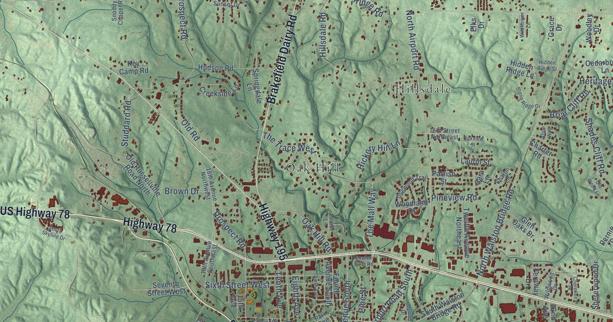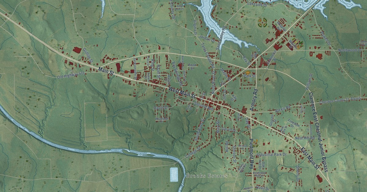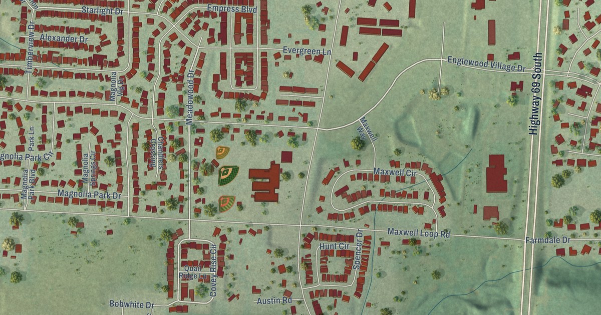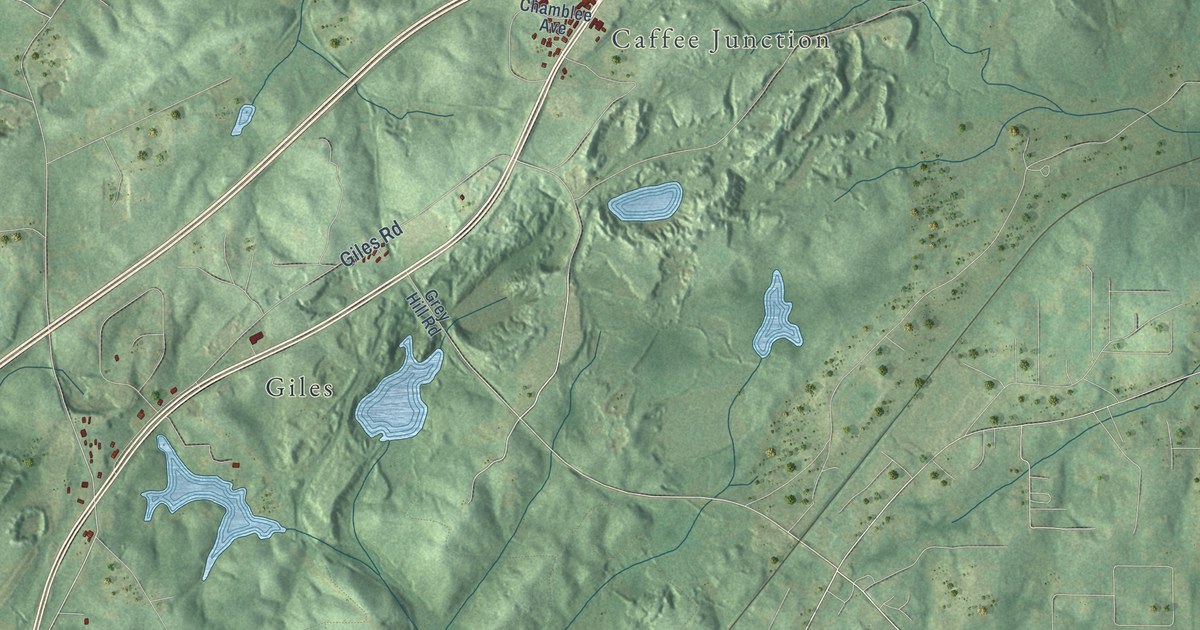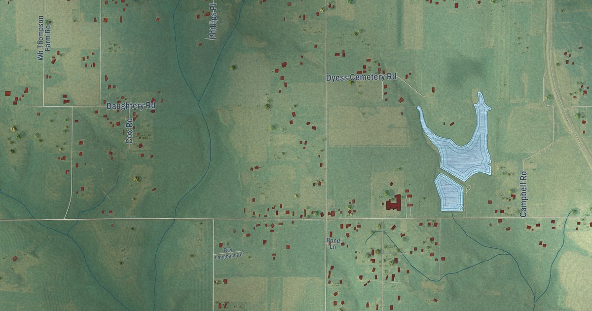
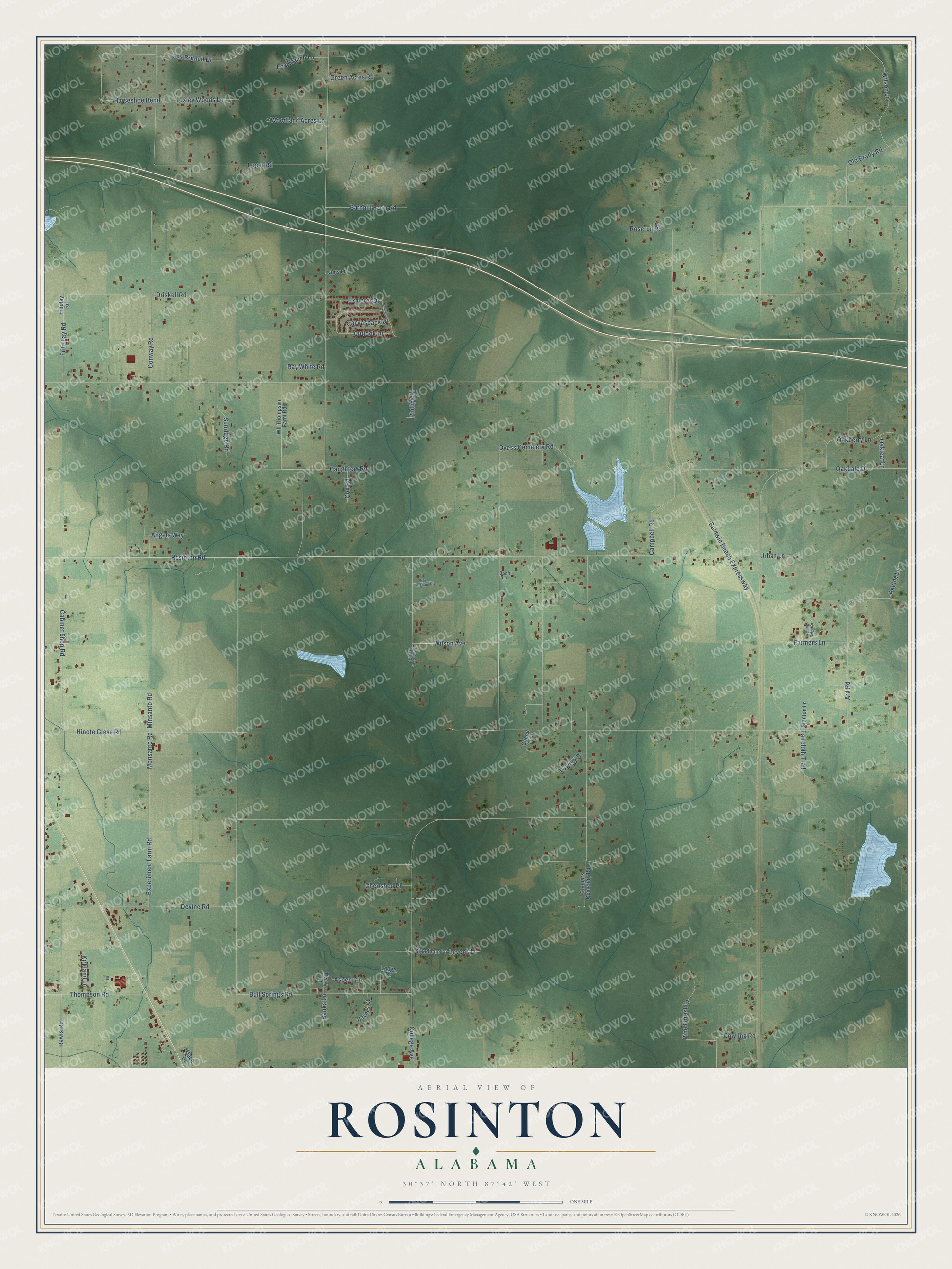
This beautifully detailed map of Rosinton, Alabama was created in 2026 using aerial imagery combined with modern topographical, census, street and landmark data. It’s a one-of-a-kind view of Rosinton that combines accurate data with a vintage aesthetic. The map shows every building in its true location, many of the roads carry their names, and the shaded topographic relief shows the shape of the land.
Explore an aerial view of Rosinton, Alabama
On the map you’ll find Rosinton Road, Wilson Avenue, College Avenue, Cabinet Shop Road, Loper Road, Baldwin Beach Expressway, Driskell Road, Rawls Road, Hinote Glass Road, Devine Road, Oakdale Drive, Bull Springs Road, and more. If you look closely you can even find your house accurately drawn in its correct location. Zoom in on the preview to look for yours.
Take a closer look at the Rosinton map
Names on this map
These names are printed on this map.
Streets and roads: Rosinton Road, Wilson Avenue, College Avenue, Cabinet Shop Road, Loper Road, Baldwin Beach Expressway, Driskell Road, Rawls Road, Hinote Glass Road, Devine Road, Oakdale Drive, Bull Springs Road.
More street names, A to Z
Angels Way, Ard Road, Aspen Circle, Banks Lane, Barnhill Farm Road, Bond Lane, Campbell Road, Canvasback Drive, Chene Trce, Cherished Place, Comstock Trail Road, Conway Road, Coopers Cemetery Road, Cowling Road, Cox Road, Daughtery Road, Dyess Cemetery Road, Experiment Farm Road, Explorer Drive, Faircloth Trail, Farmers Lane, Fox Branch Drive, Fox Branch Lane, Frito Lay Road, Fritolay Road, Green Acres Road, Haynes Court, Horseshoe Bend, Kirkland Lane, Levens Lane, Lodge Court, Lowery Drive, Loxley Woods Lane, Mach Drive, Mallard Drive, Minsanto Road, Monsanto Road, Nims Lane, Oakberry Lane, Oakleaf Lane, Old Brady Road, Outlook Drive, Peavy Lane, Phillips Place, Pine Forest Lane, Racine Lane, Ray Langham Road, Ray White Road, Rolling Ridge Drive, Roserun Road, Stanton Lane, Steadham Lane, Sunridge Road, Thompson Road, Urban Lane, Wh Thompson Farm Road, Wilson Lane, Woodland Acres Lane.
See it on a wall
The Rosinton map as a framed print. Swipe for more.


This beautifully detailed map of Rosinton makes an attractive addition to your office, library, or den, and it can even be used to teach children the geography and history of the area. It also makes a great gift for someone who left Rosinton and still calls it home. When you’re done exploring, click here to get your copy of the Rosinton map.