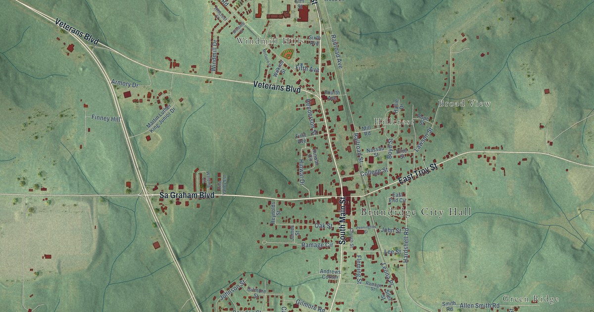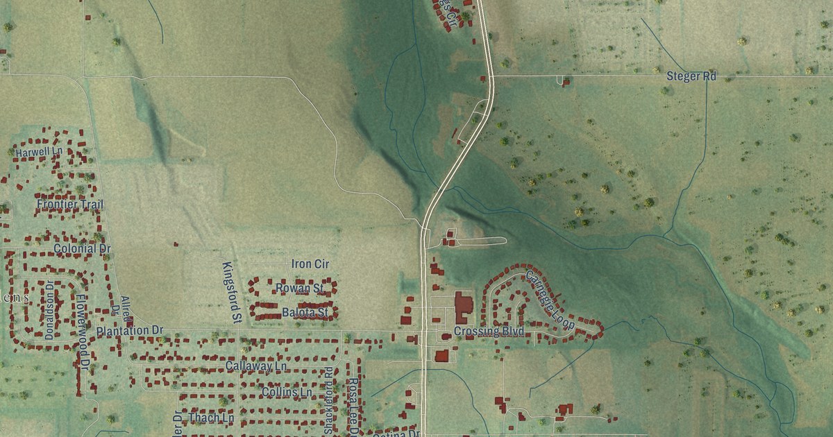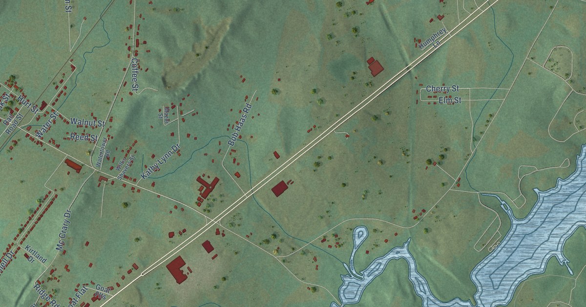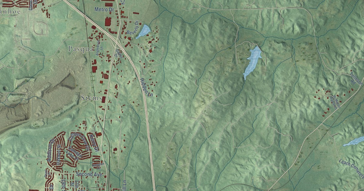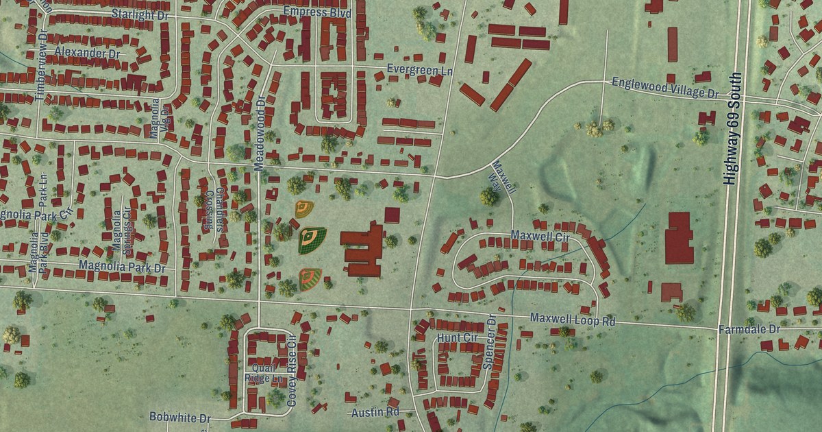
This beautifully detailed map of Englewood, Alabama was created in 2026 using aerial imagery combined with modern topographical, census, street and landmark data. It’s a one-of-a-kind view of Englewood that combines accurate data with a vintage aesthetic. The map shows every building in its true location, many of the roads carry their names, and the shaded topographic relief shows the shape of the land.
Explore an aerial view of Englewood, Alabama
On the map you’ll find Highway 69 South, Collier Way, Covey Rise Circle, Cedar Way, Starlight Drive, Meadowood Drive, Little Sandy Road, Skylark Drive, Sunnyland Drive, Havenridge Loop, Periwinkle Lane, High Field Road, and more. If you look closely you can even find your house accurately drawn in its correct location. Zoom in on the preview to look for yours.
Take a closer look at the Englewood map
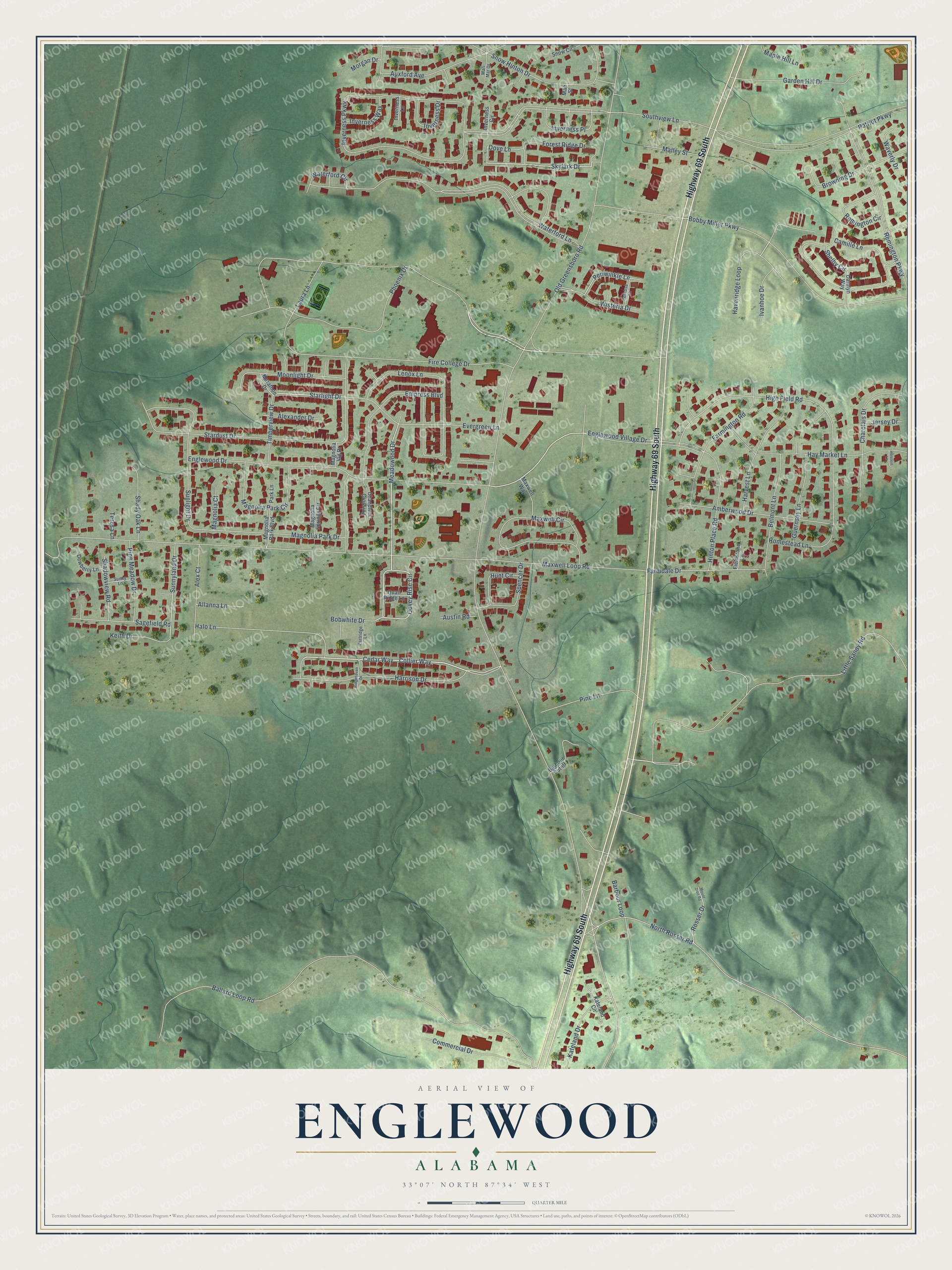
Names on this map
These names are printed on this map.
Streets and roads: Highway 69 South, Collier Way, Covey Rise Circle, Cedar Way, Starlight Drive, Meadowood Drive, Little Sandy Road, Skylark Drive, Sunnyland Drive, Havenridge Loop, Periwinkle Lane, High Field Road.
More street names, A to Z
Alexander Drive, Alex Court, Allanna Lane, Amberwood Drive, Austin Road, Auxford Avenue, Ballard Loop Road, Barbour Cutoff, Barbour Loop, Belmont Lane, Bobby Miller Parkway, Bobwhite Drive, Browning Drive, Camille Lane, Carolyn Way, Chandlers Crossing, Charolais Drive, Commercial Drive, Dewberry Lane, Dove Lane, Empress Boulevard, Englewood Drive, Englewood Village Drive, Evergreen Lane, Farmdale Drive, Farmington Road, Fieldstone Lane, Fire College Drive, Forest Ridge Drive, Garden Hill Drive, Guernsey Lane, Halo Lane, Harrison Drive, Harvest Lane, Hay Market Lane, Hinton Place Road, Holstein Lane, Homestead Lane, Hunt Circle, Inverness Circle, Inverness Drive, Inverness Lane, Inverness Parkway, Inverness Place, Inverness Way, Ivanhoe Drive, Jersey Drive, Kateland Circle, Kateland Drive, Keith Drive, Laura Lane, Lenox Lane, Mae Street, Magnolia Court, Magnolia Park Boulevard, Magnolia Park Circle, Magnolia Park Drive, Magnolia Springs Circle, Magnolia Vlg Drive, Malley Street, Maple Hill Lane, Marathon Drive, Mari Mar Drive, Maxwell Circle, Maxwell Loop Road, Maxwell Way, Moonlight Drive, Morgan Drive, Mount Zion Road, North Rosser Road, Old Greensboro Road, Park Lane, Partridge Lane, Patriot Parkway, Penrose Lane, Phoenix Drive, Pine Lane, Pine Meadow Drive, Quail Ridge Lane, Remington Circle, Remington Parkway, Ridgehaven Drive, Rosser Drive, Sagefield Road, Shadowview Road, Shady Oak Lane, Shelby Circle, Snow Circle, Snow Hinton Drive, Southview Lane, Spencer Drive, Stardust Drive, Sunlight Drive, Sunny Lane, Teresa Lane, Timberview Drive, Waterford Circle, Waterford Lane, Waverly Drive, Wisteria Drive.
See it on a wall
The Englewood map as a framed print. Swipe for more.


This beautifully detailed map of Englewood makes an attractive addition to your office, library, or den, and it can even be used to teach children the geography and history of the area. It also makes a great gift for someone who left Englewood and still calls it home. When you’re done exploring, click here to get your copy of the Englewood map.