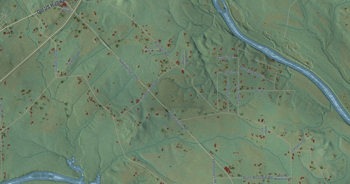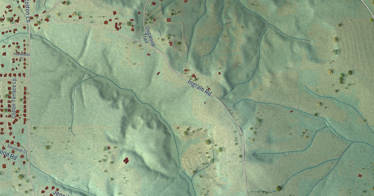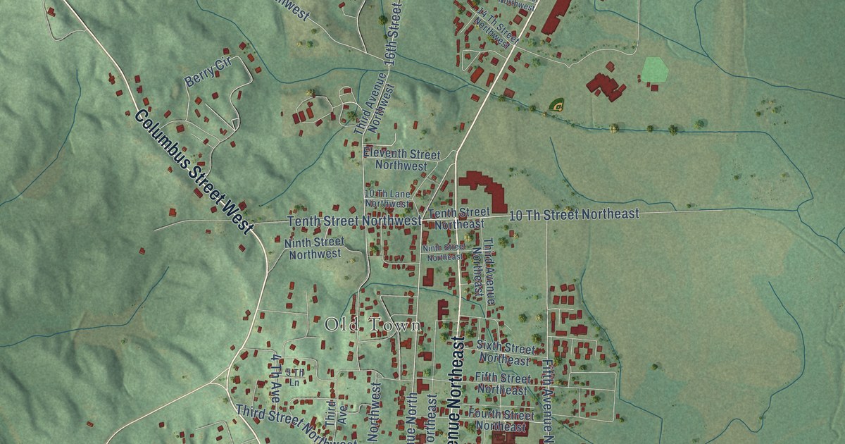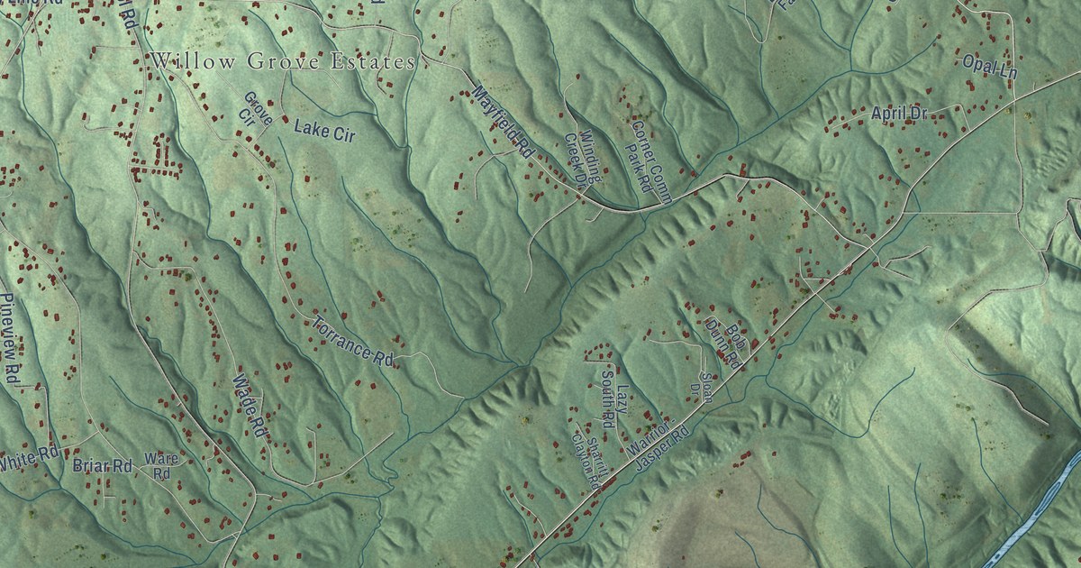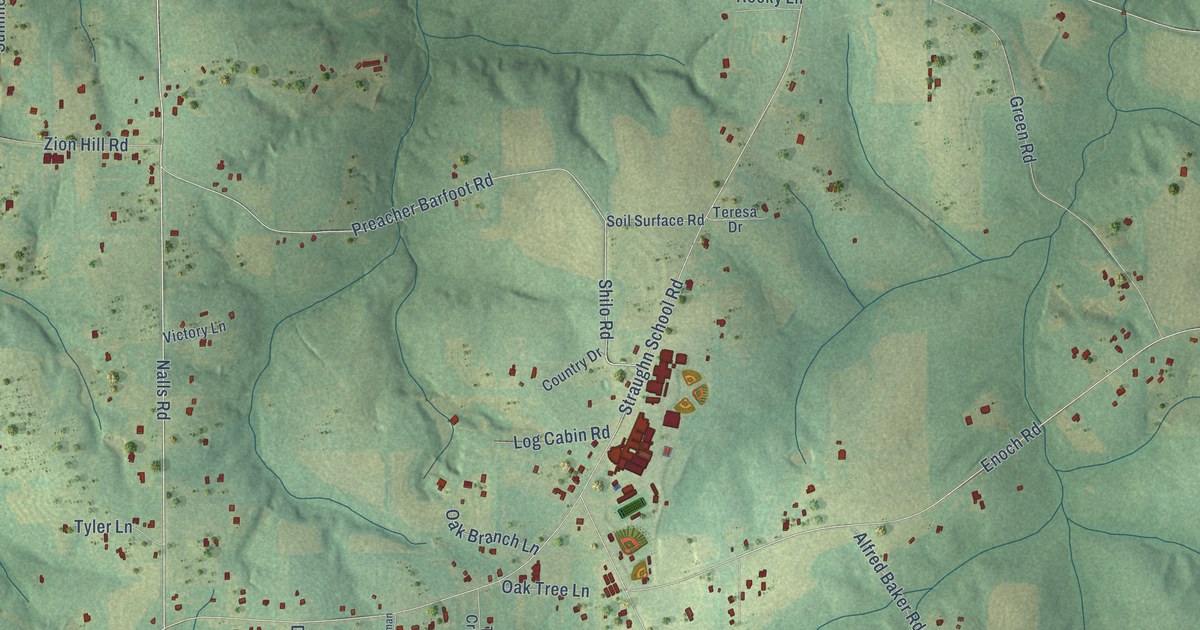
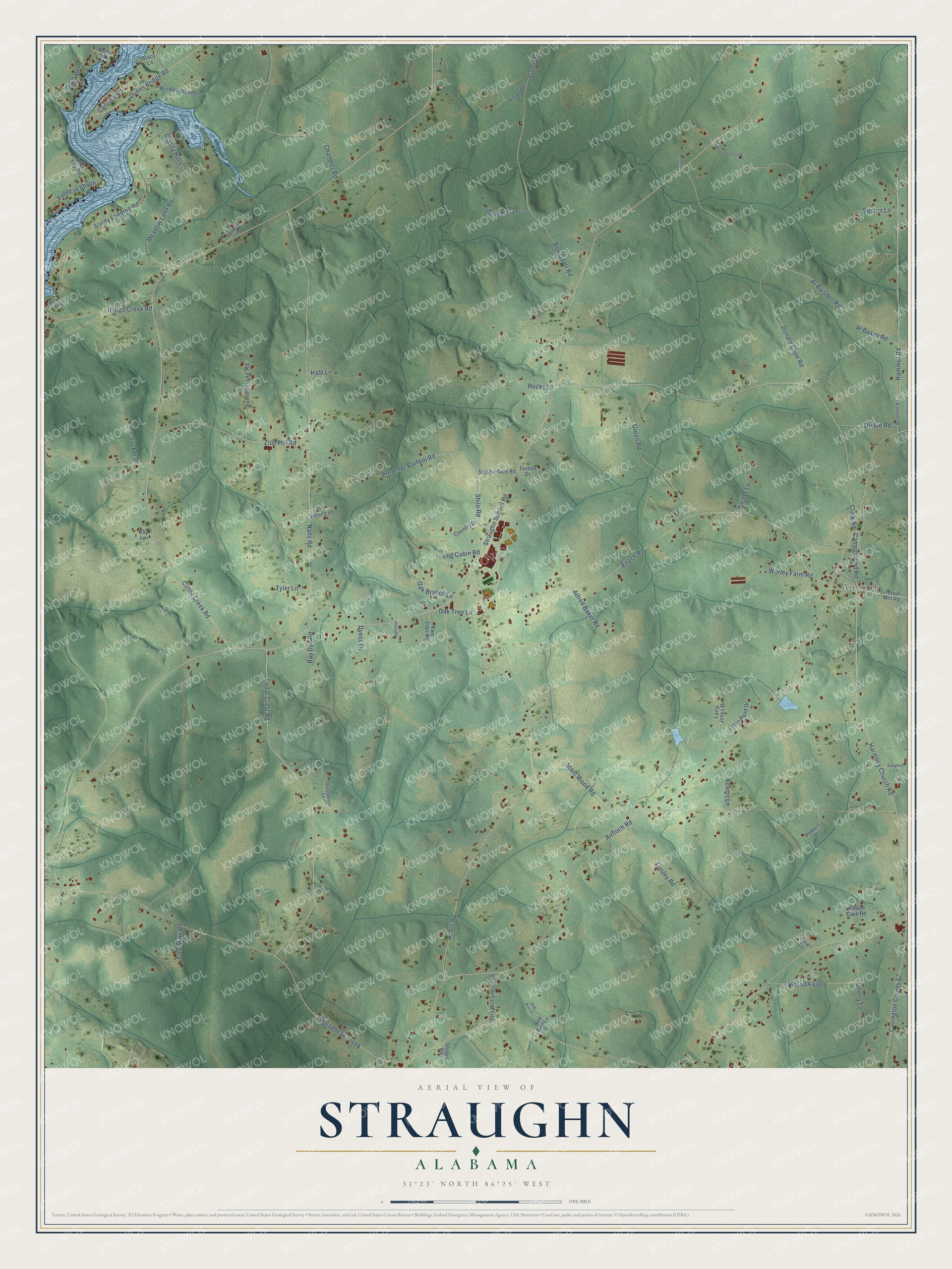
This beautifully detailed map of Straughn, Alabama was created in 2026 using aerial imagery combined with modern topographical, census, street and landmark data. It’s a one-of-a-kind view of Straughn that combines accurate data with a vintage aesthetic. The map shows every building in its true location, many of the roads carry their names, and the shaded topographic relief shows the shape of the land.
Explore an aerial view of Straughn, Alabama
On the map you’ll find Antioch and Covington County 67, along with Harmony Church Road, Nalls Road, Cedar Crest Road, Cottle Creek Road, Shilo Road, Al Basen Road, Enoch Road, Straughn School Road, Antioch Road, Robin Road, and more. If you look closely you can even find your house accurately drawn in its correct location. Zoom in on the preview to look for yours.
Did You Know?
From Internet Archive: "Returning after nightfall, they attempted to cross Bellville branch, just where the road now crosses between the village and the house of James Straughn, and became entangled in the glade of cane."
Straughn is a community in Covington County.
Take a closer look at the Straughn map
Names on this map
These names are printed on this map.
Places: Antioch.
Streets and roads: Harmony Church Road, Nalls Road, Cedar Crest Road, Cottle Creek Road, Shilo Road, Covington County 67, Al Basen Road, Enoch Road, Straughn School Road, Antioch Road, Robin Road, Clark Road.
More street names, A to Z
Adams Lane, Al Baisden Road, Alfred Baker Road, Aughtman Lane, Bluebird Lane, Bob Gantt Road, Boston Lane, Campground Road, Cantaline Road, Cardinal Lane, Chandler Road, Cherry Lane, Country Drive, Daughtry Lane, Dinkie Road, Donald Cope Road, Dunns Bridge Road, Dyess Lane, Fore Lane, Gantt Road, Grassy Hill Lane, Green Road, Hale Lane, Hammet Road, Hammett Road, Hidden Cove Road, Honeysuckle Creek Lane, Horsehead Creek, Indigo Creek Road, Indigo Loop, Irby Lane, Lake Top Road, Larry Jones Drive, Log Cabin Road, Mary Williamson Road, Meadow Lane Road, Messick Loop, Oak Branch Lane, Oak Tree Lane, Peaceful Lane, Pilcher Lane, Powers Drive, Preacher Barfoot Road, Providence Lane, Pruitt Road, Ray Dye Road, Red Bird Court, Red Bird Lane, Rocky Lane, Sandy Landing Road, Shreve Road, Soil Surface Road, Stacy Lane, Stant Wood Road, Summerlane Road, Sweet Williams Lane, Teresa Drive, Tervin Mill Road, Tifton Pond Drive, Tinsley Road, Tucker Drive, Two Crks Road, Tyler Lane, Valley of Shiloh, Victory Lane, Weed Road, Wildwood Lane, Wisdom Wood Lane, Worley Farm Road, Zion Hill Road.
See it on a wall
The Straughn map as a framed print. Swipe for more.


This beautifully detailed map of Straughn makes an attractive addition to your office, library, or den, and it can even be used to teach children the geography and history of the area. It also makes a great gift for anyone who grew up in Straughn or moved away. When you’re done exploring, click here to get your copy of the Straughn map.