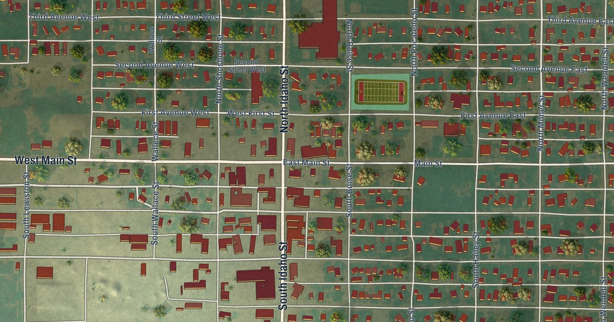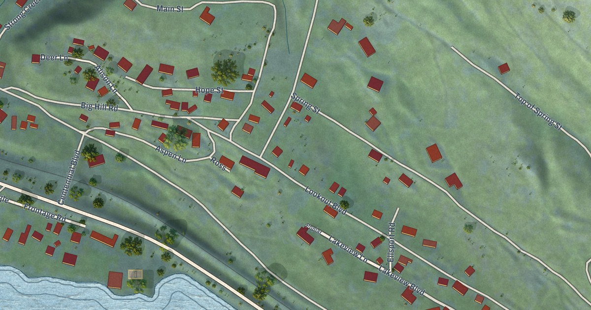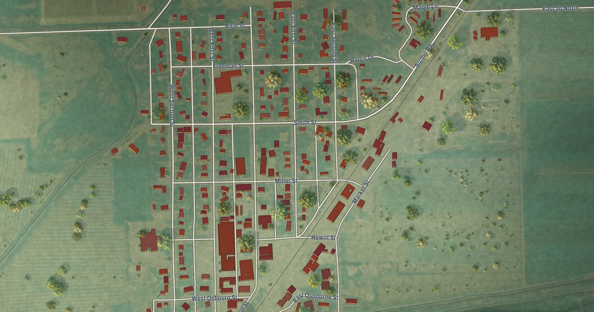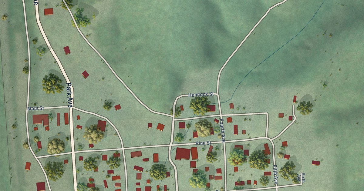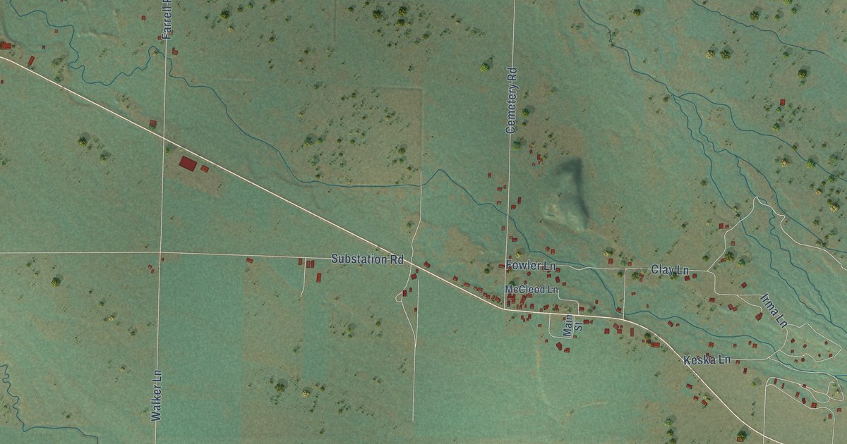
This beautifully detailed map of Meadows, Idaho was created in 2026 using aerial imagery combined with modern topographical, census, street and landmark data. It’s a one-of-a-kind view of Meadows that combines accurate data with a vintage aesthetic. The map shows every building in its true location, many of the roads carry their names, and the shaded topographic relief shows the shape of the land.
Explore an aerial view of Meadows, Idaho
On the map you’ll find New Meadows, along with Norris Avenue, Virginia Street, Highway 95, Big Creek Road, Raney Road, Whitney Lane, Fish Lake Road, Short Line Drive, Taylor Street, McLain Street, Miller Avenue, and more. If you look closely you can even find your house accurately drawn in its correct location. Zoom in on the preview to look for yours.
Did You Know?
Meadows belonged to Washington County until Adams County was created in 1911. Its newspaper was the Meadows Eagle, published by C. A. Hackney. The Pacific and Idaho Northern Railroad stopped about two miles short of Meadows. New Meadows was founded at that railroad site in 1911.
Meadows is a community in Adams County.
Take a closer look at the Meadows map
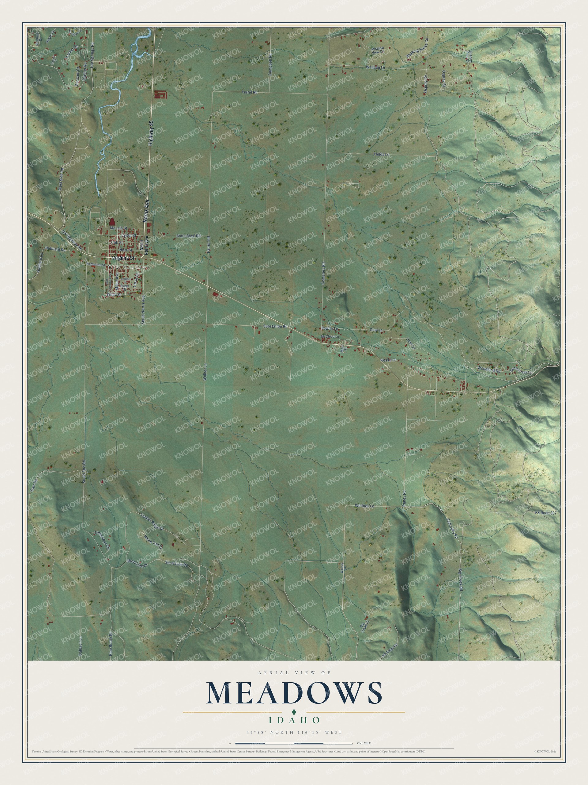
Names on this map
These names are printed on this map.
Places: New Meadows.
Streets and roads: Norris Avenue, Virginia Street, Highway 95, Big Creek Road, Raney Road, Whitney Lane, Fish Lake Road, Short Line Drive, Taylor Street, McLain Street, Miller Avenue, South End Road.
More street names, A to Z
Balbach Lane, Benedict Street, Big Creek Court, Blue Burch Road, Brookside Drive, Campbell Road, Carr Road, Casper Court, Cemetery Road, Clay Lane, Colt Street, Elk Ridge Road, Farrell Road, Ferrel Road, Fields Lane, Fowler Lane, FS Road 307, Goose Creek Lane, Hagen Court, Hot Springs Road, Hubbard Lane, Hubbard Road, Irma Lane, Katherine Street, Keska Lane, Larae Street, Main Street, McCleod Lane, Meadow View Circle, Nicklaus Drive, Nora Street, North Norris Avenue, Old Highway Road, Osprey Circle, Osprey Court, Palmer Court, Sarazen Court, Shadow Pine Court, Short Line Road, South Commercial Avenue, South Norris Avenue, Speer Street, State Shed Road, Substation Road, Timberline Circle, Timber Ridge Drive, Vardon Road, Walker Lane, Walking Horse Circle, Wallace Lane, West Side Road, White Tail Court, Whitney Road, Wiley Street, Woodland Road.
See it on a wall
The Meadows map as a framed print. Swipe for more.


This beautifully detailed map of Meadows makes an attractive addition to your office, library, or den, and it can even be used to teach children the geography and history of the area. It also makes a great gift for someone who left Meadows and still calls it home. When you’re done exploring, click here to get your copy of the Meadows map.