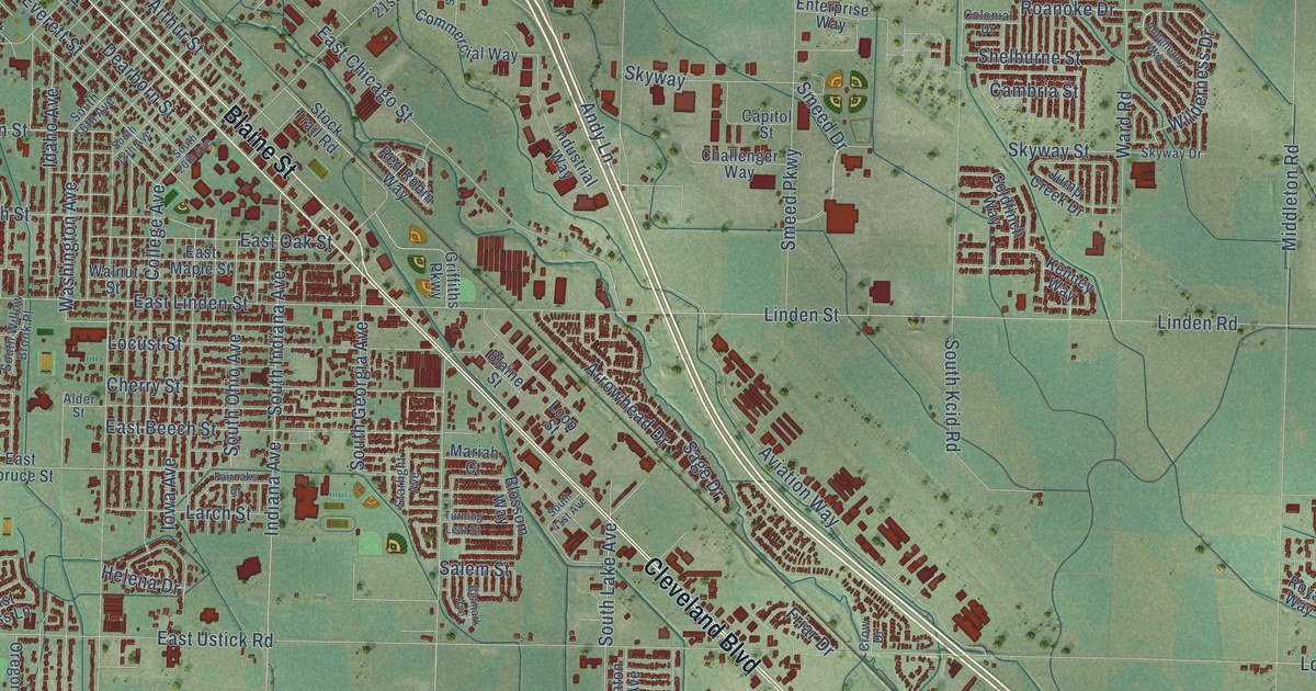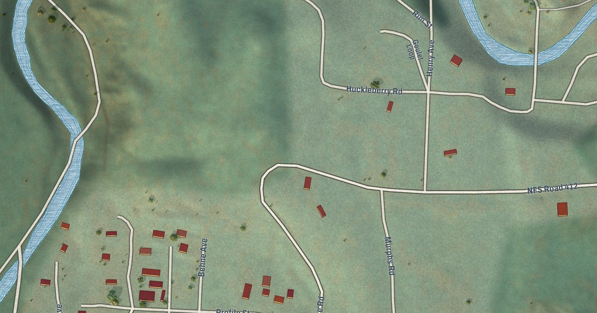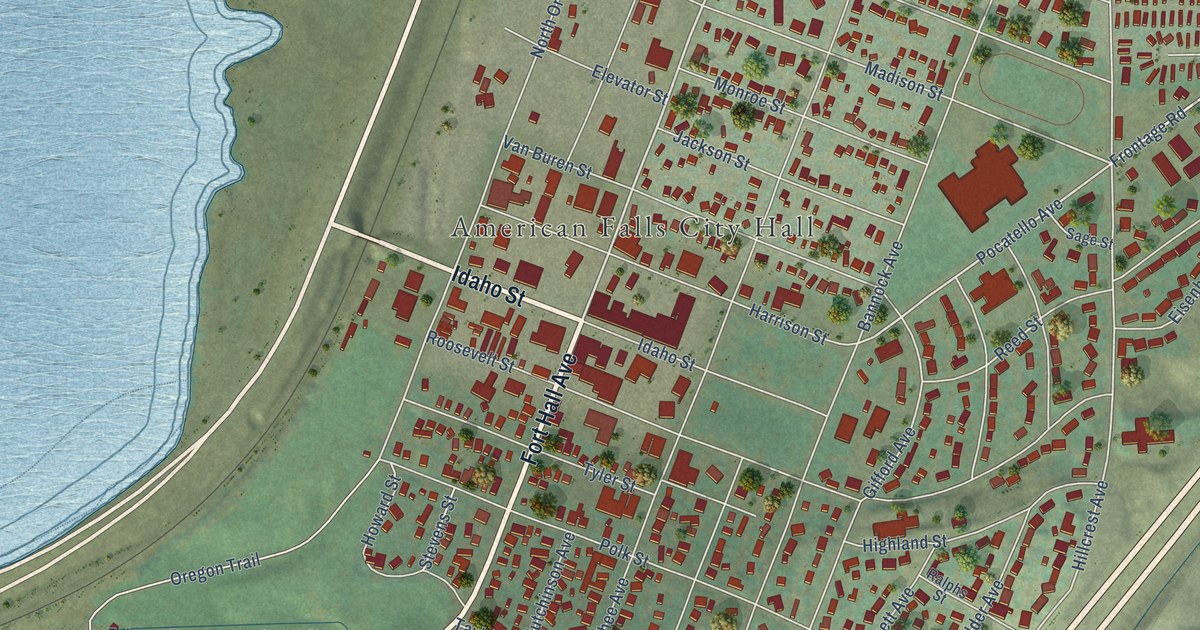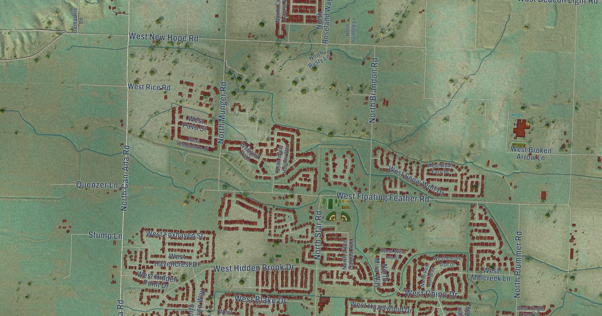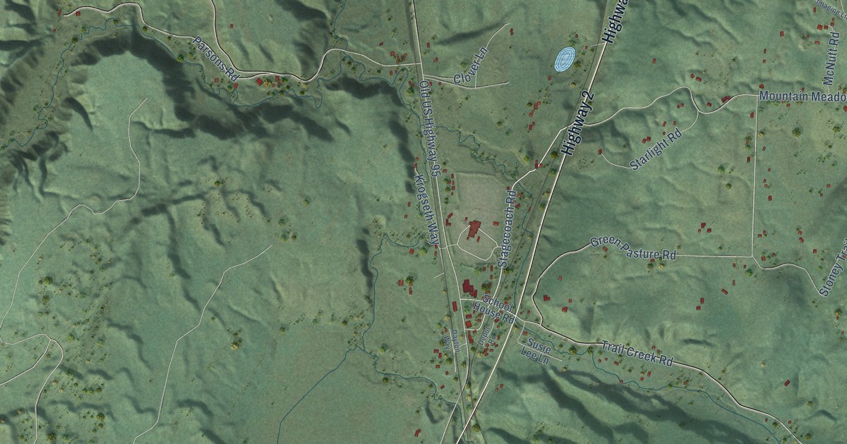
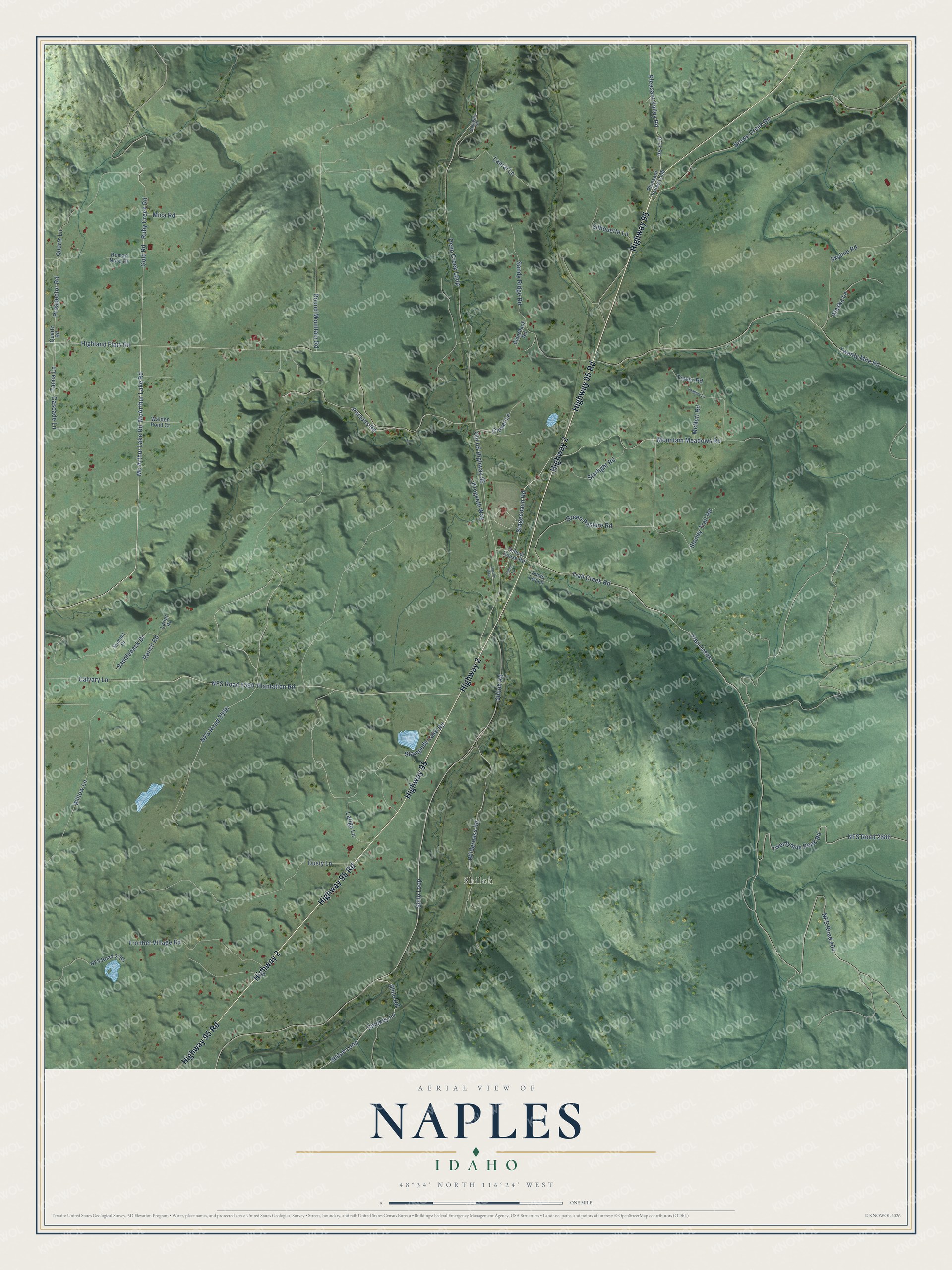
This beautifully detailed map of Naples, Idaho was created in 2026 using aerial imagery combined with modern topographical, census, street and landmark data. It’s a one-of-a-kind view of Naples that combines accurate data with a vintage aesthetic. The map shows every building in its true location, many of the roads carry their names, and the shaded topographic relief shows the shape of the land.
Explore an aerial view of Naples, Idaho
On the map you’ll find Shiloh and NFS Road 2596, along with Highway 95 Road, Highway 2, Highway 95, Stagecoach Road, Mc Arthur Lake Road, Shilo Loop, Shilo Road, Plantation Road, Calvary Lane, and more. If you look closely you can even find your house accurately drawn in its correct location. Zoom in on the preview to look for yours.
Did You Know?
Naples, Idaho, carries the name of the city in Italy. Around 1890, workers built the first railroad through this part of the state. Many of those laborers were immigrants from Naples, and the new settlement took their home city’s name.
Naples is a community in Boundary County.
Take a closer look at the Naples map
Names on this map
These names are printed on this map.
Places: Shiloh.
Streets and roads: Highway 95 Road, Highway 2, Highway 95, Stagecoach Road, Mc Arthur Lake Road, McArthur Lake Road, Shilo Loop, Shilo Road, Plantation Road, Calvary Lane, NFS Road 2596, Highland Flats Road.
More street names, A to Z
Alaska Lane, Biderback Road, Brown Creek Road, Cascade Lane, Clover Lane, Dayton Way, Deep Creek Loop, Depot Road, Dusty Lane, Frontier Village Road, Glengary Road, Gold Road, Green Pasture Road, Imagine Lane, Krogseth Way, Lariat Place, Latigo Lane, Laural Lane, McNutt Road, Mica Road, Mountain Meadows Road, NFS Road 404, NFS Road 2590, NFS Road 2686, NFS Road 2765, Old US Highway 95, Parsons Road, Pleasant Valley Loop, Pleasant Valley Road, Prospector Road, Quartz Lane, Quartz Road, Ranch Road, Roman Nose Drive, Round Mountain Road, Ruby Creek Road, Saddleback Drive, Sandy Ridge Road, School House Road, Shiloh Loop, Shiloh Road, Silhouette Lane, Skyline Road, Smokey Lane, Stampede Lake Road, Starlight Road, Stoney Trail Road, Summit Place, Susie Lee Lane, Tanna Lane, Tower Road, Trail Creek, Trail Creek Road, Twentymile Peak Road, Twenty Mile Road, V-77 Road, Walden Pond Court, Wilderness Road, Willow Lane.
See it on a wall
The Naples map as a framed print. Swipe for more.


This beautifully detailed map of Naples makes an attractive addition to your office, library, or den, and it can even be used to teach children the geography and history of the area. It also makes a great gift for anyone with Naples roots. When you’re done exploring, click here to get your copy of the Naples map.