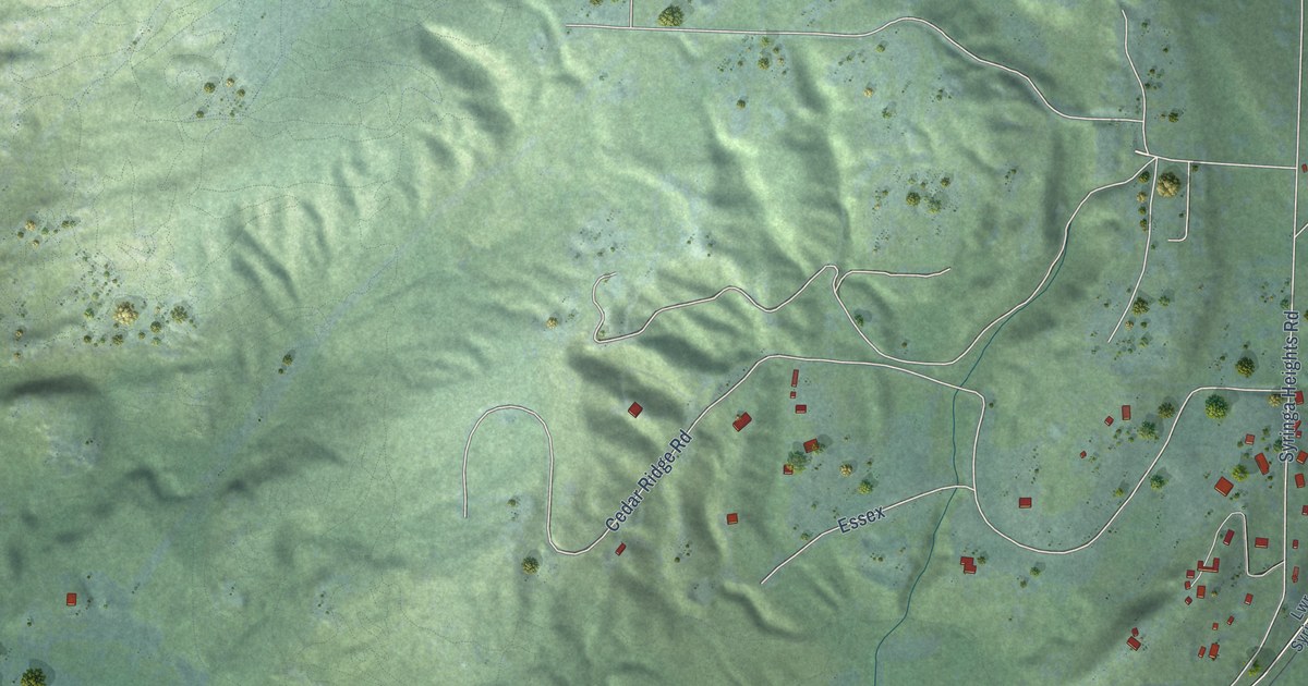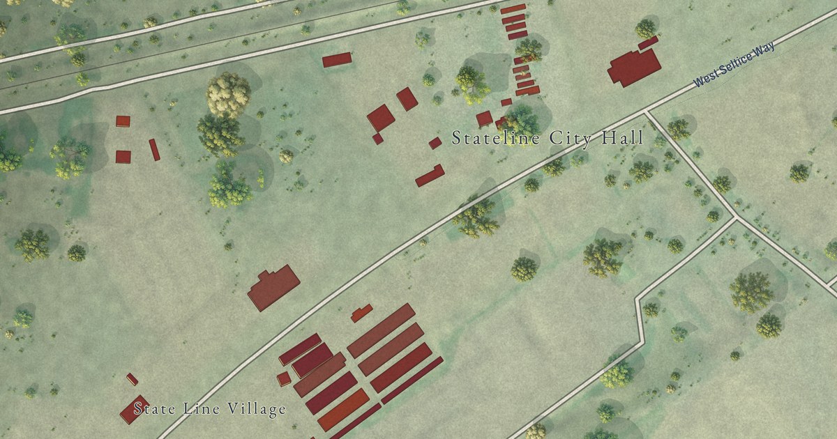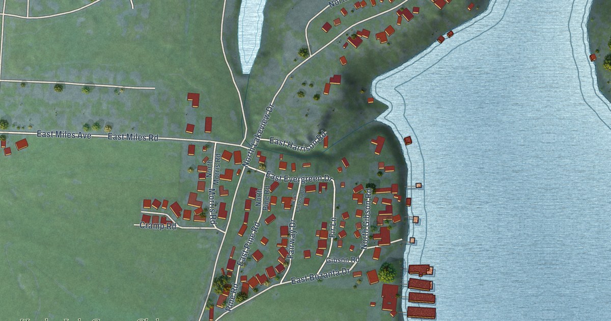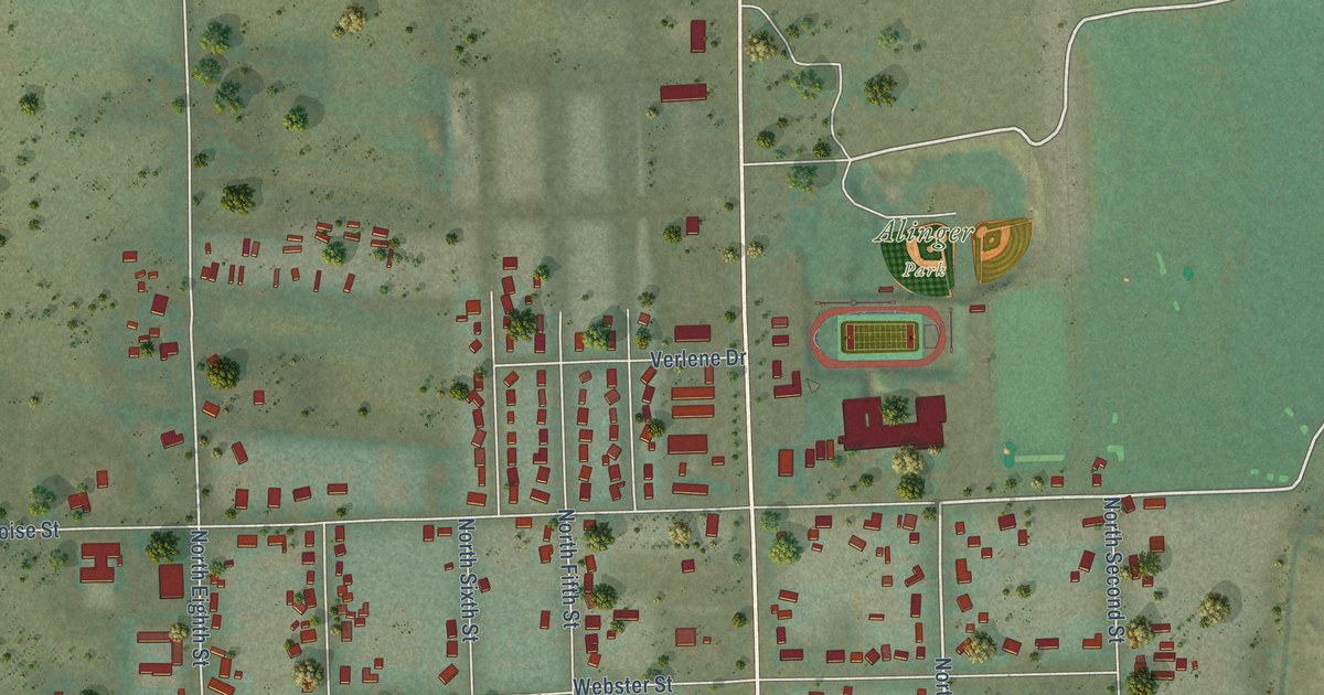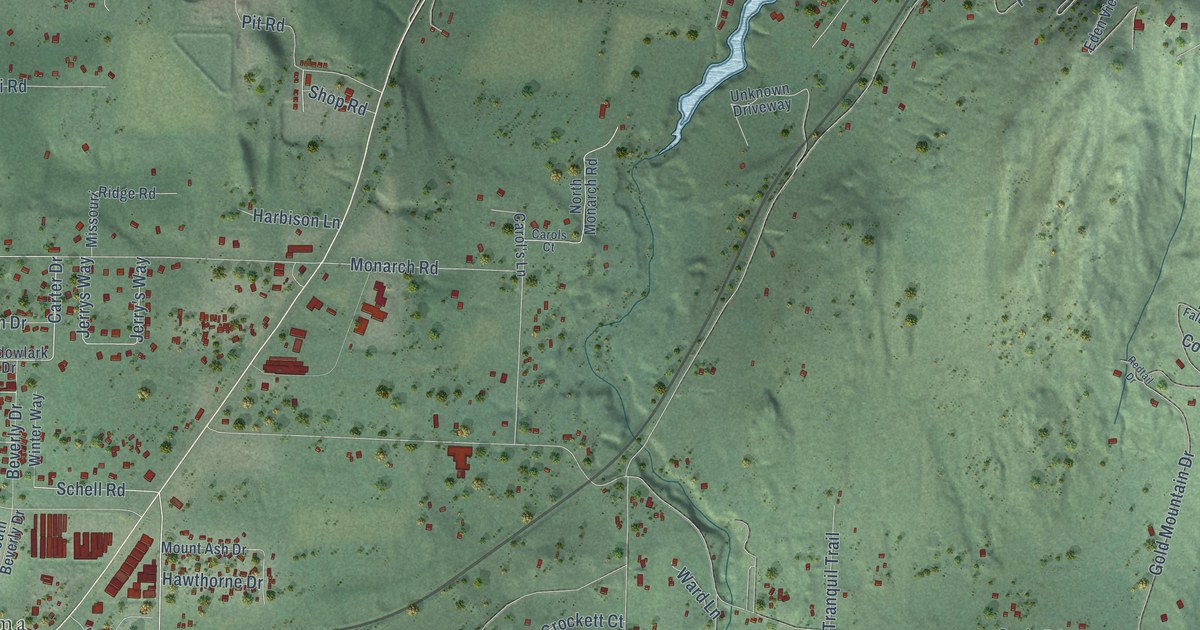
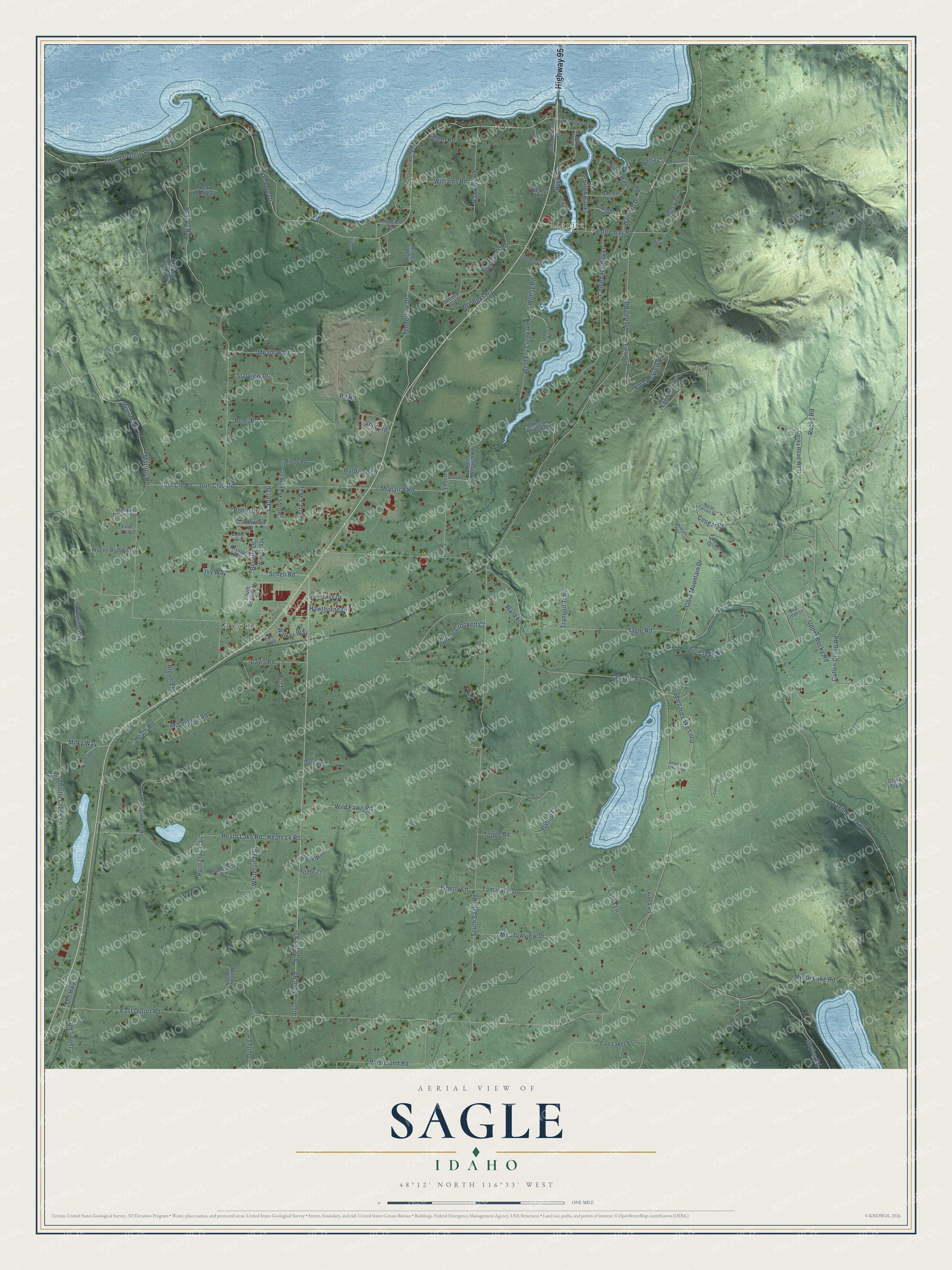
This beautifully detailed map of Sagle, Idaho was created in 2026 using aerial imagery combined with modern topographical, census, street and landmark data. It’s a one-of-a-kind view of Sagle that combines accurate data with a vintage aesthetic. The map shows every building in its true location, many of the roads carry their names, and the shaded topographic relief shows the shape of the land.
Explore an aerial view of Sagle, Idaho
On the map you’ll find Lignite and Algoma, along with Highway 95, Algoma Spur Road, Birch Haven Drive, Schell Road, Carter Drive, Shepard Lake Loop, Heath Lk Road, Sagle Road, Talache Road, Fish Hatchery Road, and more. If you look closely you can even find your house accurately drawn in its correct location. Zoom in on the preview to look for yours.
Take a closer look at the Sagle map
Names on this map
These names are printed on this map.
Places: Lignite and Algoma.
Streets and roads: Highway 95, Algoma Spur Road, Birch Haven Drive, Schell Road, Carter Drive, Shepard Lake Loop, Heath Lk Road, Sagle Road, Talache Road, Fish Hatchery Road, Lakeshore Drive, East Dufort Road.
More street names, A to Z
Algoma Place, Algoma Spr, Alpenglow Lane, Ashley Way, Astilbe Lane, Bella Circle, Bella View Drive, Beverly Drive, Birch Banks, Bird Creek Lane, Blue Heron Lake Lane, Boone Crockett Court, Bottle Bay Road, Brisboys Road, Buck Run, Callen Crabb Road, Carol's Lane, Carols Court, Chickadee Lane, Clark Trail, Comeback Bay Lane, Cottonwood Drive, Cougar Drive, Davis Road, Denali Road, Duffy Lane, Eden View Way, Falcon Drive, Five Lakes Ests, Forever View Road, Fry Creek Road, Gallop Circle, Gold Mountain Drive, Gun Clb Road, Gun Club Road, Hanford Drive, Hanley Lane, Harbison Lane, Harbor View Drive, Hawkins Road, Hawthorne Drive, Heath Lake Road, Heath Road, Hoot Owl Trail, Horizon Drive, Hubbard Lane, Ivy Way, Jack Man Way, James Road, Jerry's Way, Jerrys Way, Jones Road, Joyce Way, Key Ranch Road, Krystal Loop, Krystle Loop, Lafayes Way, Lakewood Avenue, Laura Lane, Liberty Lane, Lignite Road, Lilac Lane, Martins Road, McConnell Road, Meadow Lane, Meadowlark Drive, Meadowview Drive, Merril Martin Road, Milky Way, Mirror Lake Road, Missouri Mountain Drive, Missouri Ridge Road, Monarch Road, Mountain Ridge Drive, Mount Ash Drive, Moyles Road, North Falcon Drive, North Monarch Road, Old Highway, Olson Road, Our Lane, Pierce Lane, Pit Road, Plaster Road, Redtail Drive, Remi Road, Robin Drive, Rocky Road, Rocky Road West, Roy Way, Sagle Creek Road, Shepherd Lake Loop, Sherwoods Road, Shop Road, Smokehouse Road, South Beverly Drive, South Sagle Road, Spades Road, Springfield Way, Springy Point, Starview Drive, Sunchaser Lane, Sunrise Circle, Sweeney Drive, Tamarack Lane, The Roofing Road, Thistle Creek Lane, Timberline Drive, Topps Road, Tranquil Trail, Treeline Drive, Unknown Driveway, Upper Rocky Road, Vinca Road, Wagon Bridge Lane, Walker Way, Ward Lane, West Fry Creek Road, Westmond Road, Whitetail Trail, Wild Fawn Road, Williams Road, Winter Way, Wollsy Road, Woody Way, Woolsey Road.
See it on a wall
The Sagle map as a framed print. Swipe for more.


This beautifully detailed map of Sagle makes an attractive addition to your office, library, or den, and it can even be used to teach children the geography and history of the area. It also makes a great gift for anyone with Sagle roots. When you’re done exploring, click here to get your copy of the Sagle map.