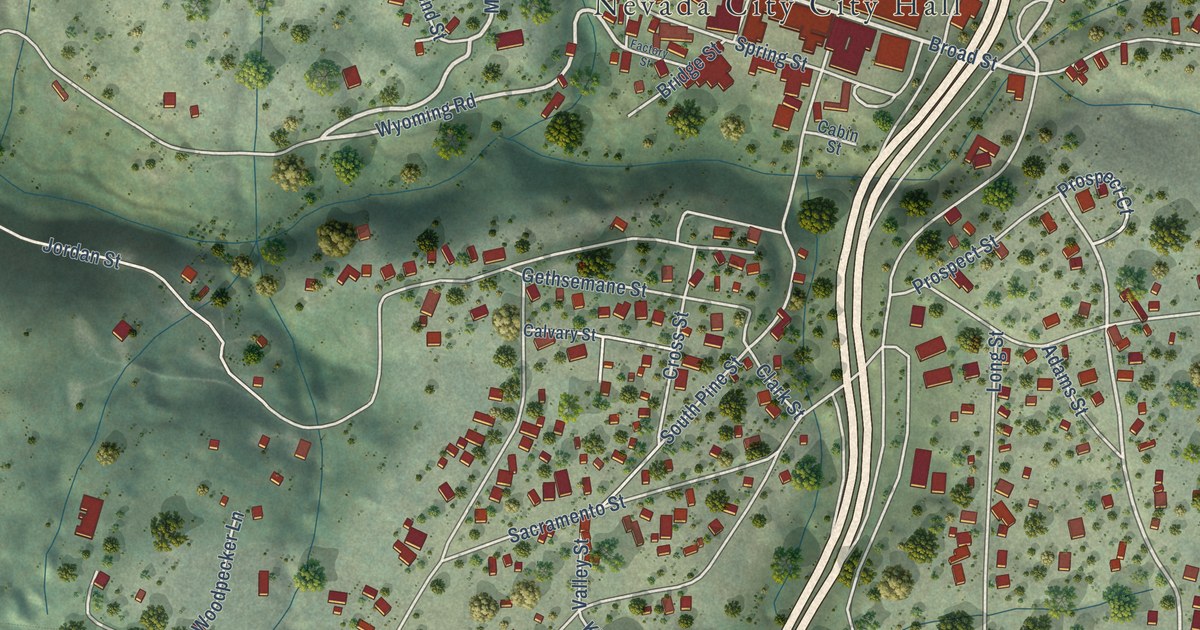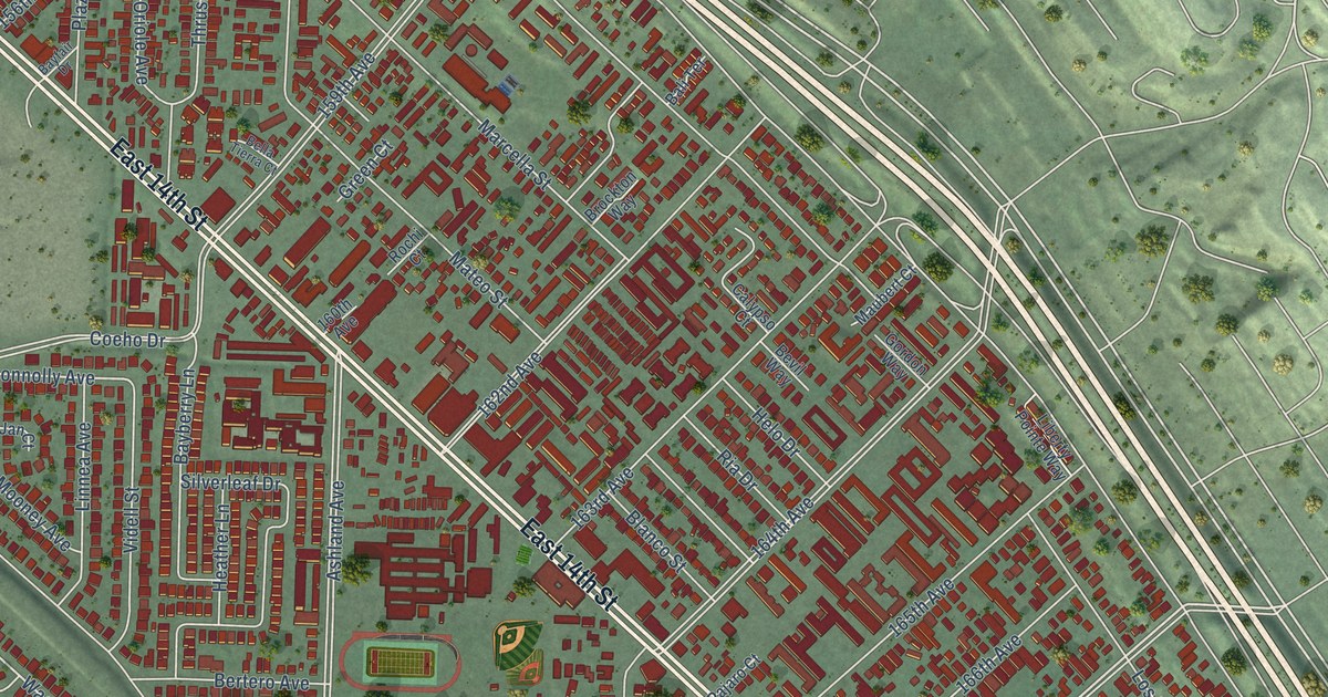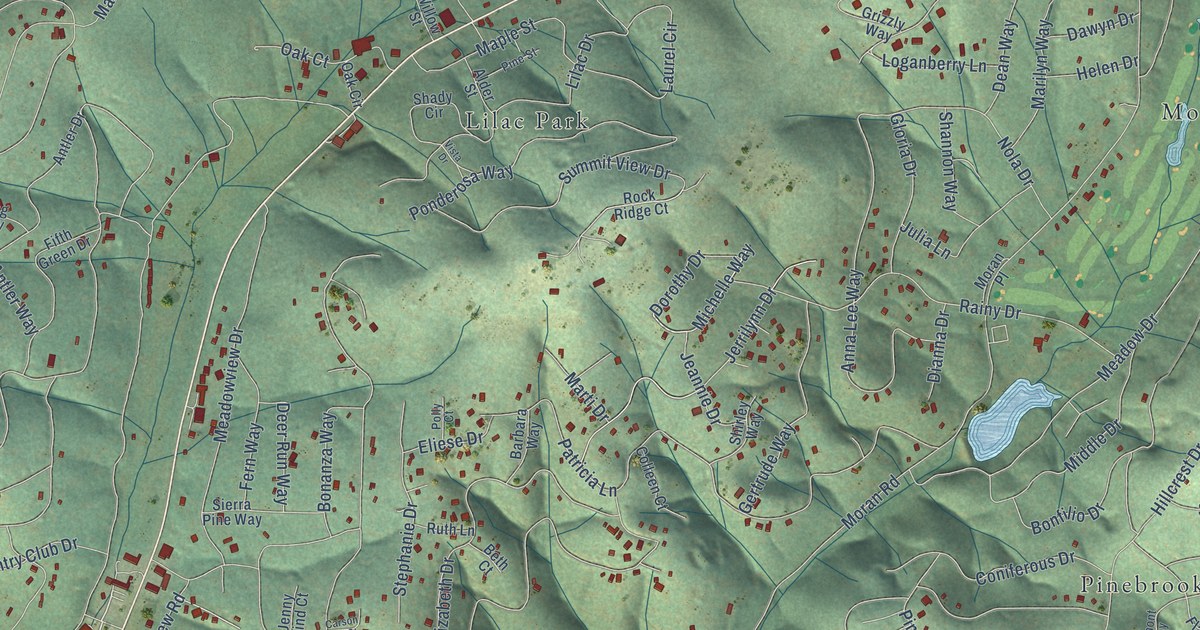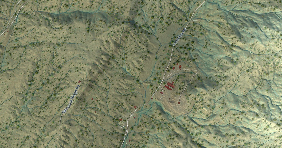
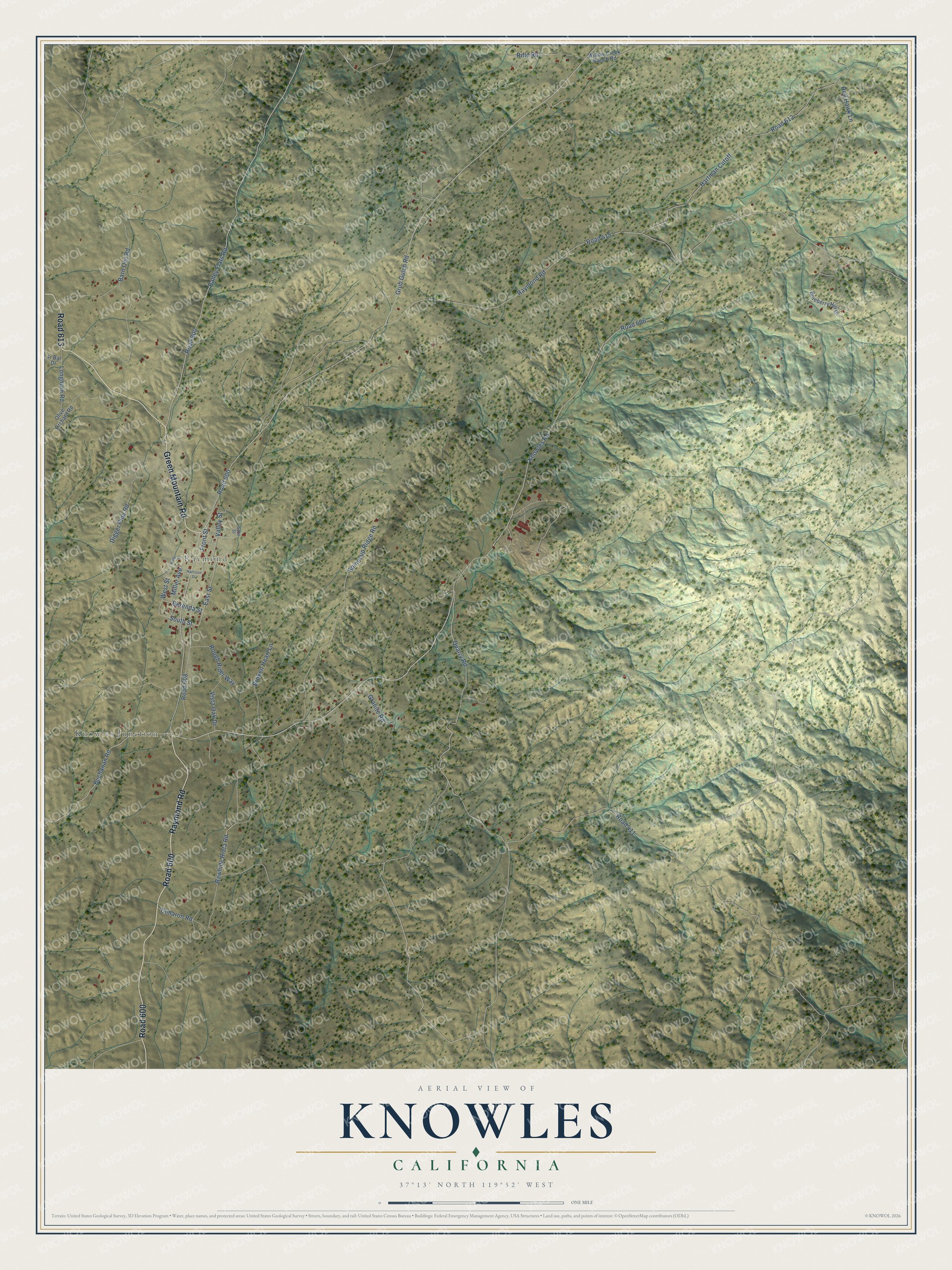
This beautifully detailed map of Knowles, California was created in 2026 using aerial imagery combined with modern topographical, census, street and landmark data. It’s a one-of-a-kind view of Knowles that combines accurate data with a vintage aesthetic. The map shows every building in its true location, many of the roads carry their names, and the shaded topographic relief shows the shape of the land.
Explore an aerial view of Knowles, California
On the map you’ll find Knowles Junction, Raymond, Road 600, Road 613, and Road 606, along with Raymond Road, Green Mountain Road, South Street, Knowles Road, East Street, West Street, Front Street, and more. If you look closely you can even find your house accurately drawn in its correct location. Zoom in on the preview to look for yours.
Did You Know?
From Internet Archive: "The land is situated near Colina on what is known as the Knowles ranch, and it is claimed to be a most excellent site for the purposes inrerded."
Knowles is a community in Madera County.
Take a closer look at the Knowles map
Names on this map
These names are printed on this map.
Places: Knowles Junction and Raymond.
Streets and roads: Raymond Road, Road 600, Green Mountain Road, Road 613, South Street, Knowles Road, Road 606, East Street, West Street, Front Street, Grub Gulch Road, Road 411.
More street names, A to Z
Bailey Flats Road, Barn Owl Road, Berenda Street, Blueberry Hill Drive, Broken Heart Lane, Buchanan Road, Cimaron Road, Digger Pine Road, Granite Road, Harrison Street, Hartman Cutoff, Longhorn Road, Miller Avenue, North Street, Olive Orchard Road, Quarry Road, Rawhide Riata Road, Red Hawk Lane, Rifle Road, Road 415, Road 608, Road 612, Road 800, Rough Rider Way, Sara Street, Spinecup Ridge Road, Valley Street, Vista Oak Drive, Willow Creek Ranch Road.
See it on a wall
The Knowles map as a framed print. Swipe for more.


This beautifully detailed map of Knowles makes an attractive addition to your office, library, or den, and it can even be used to teach children the geography and history of the area. It also makes a great gift for anyone with Knowles roots. When you’re done exploring, click here to get your copy of the Knowles map.