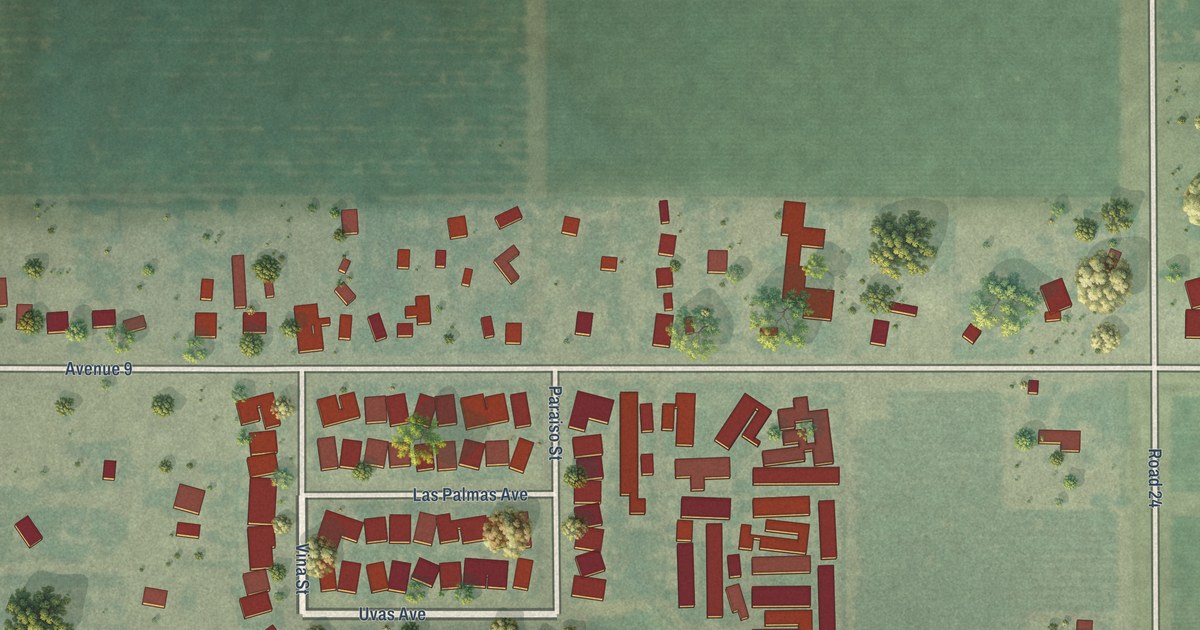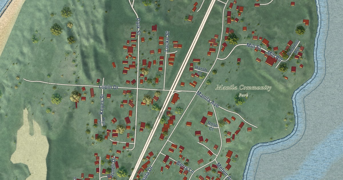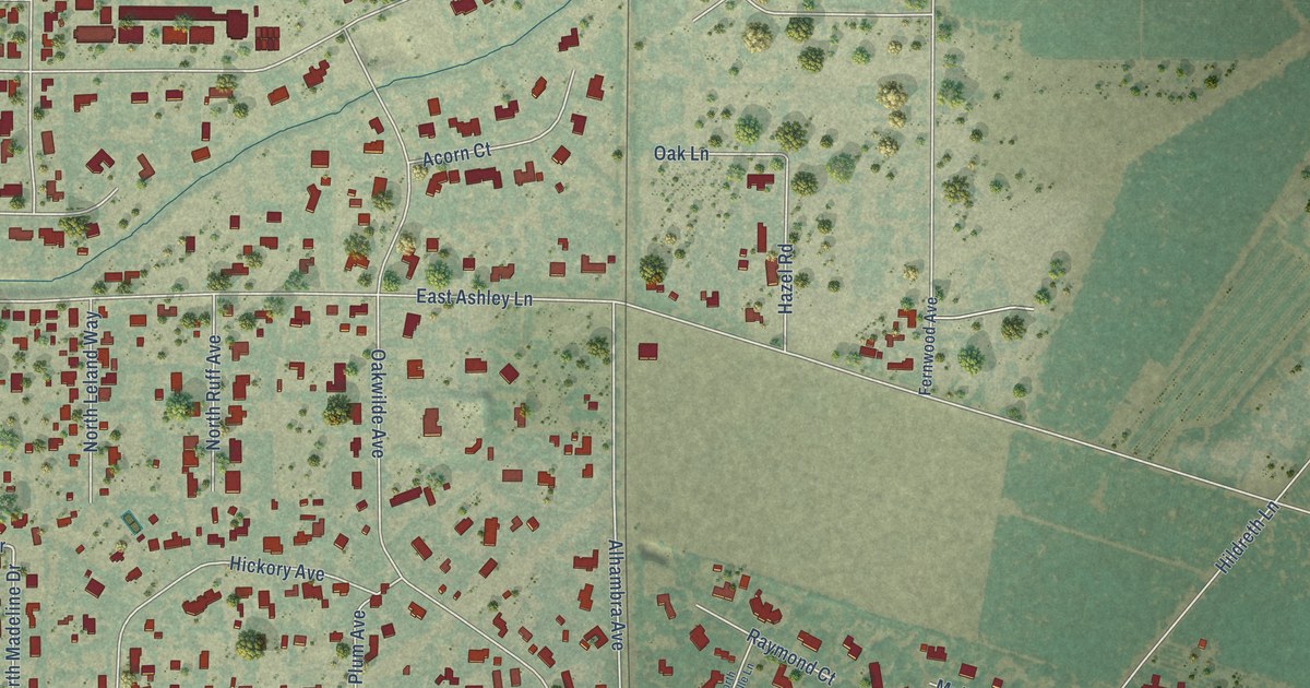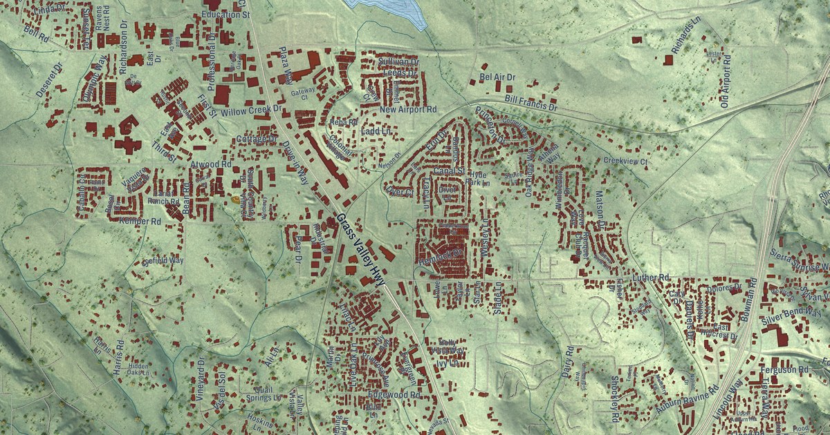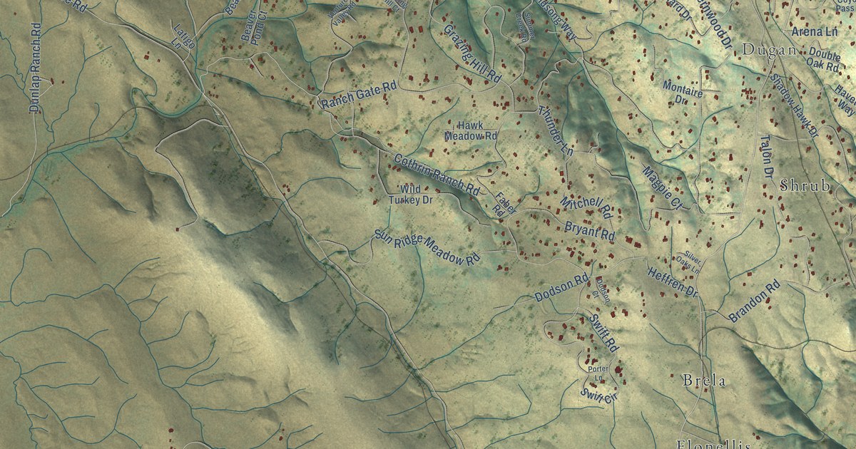
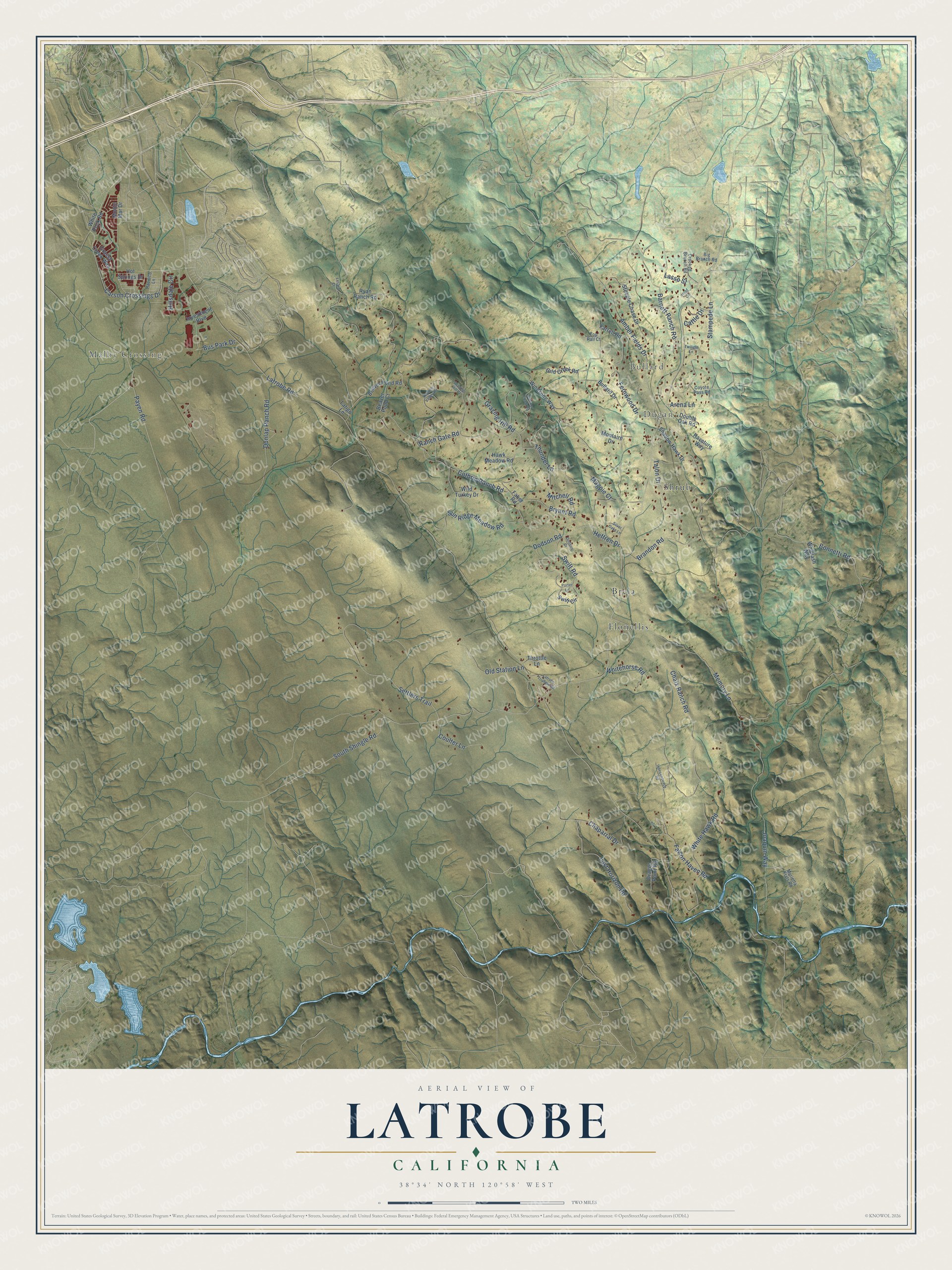
This beautifully detailed map of Latrobe, California was created in 2026 using aerial imagery combined with modern topographical, census, street and landmark data. It’s a one-of-a-kind view of Latrobe that combines accurate data with a vintage aesthetic. The map shows every building in its true location, many of the roads carry their names, and the shaded topographic relief shows the shape of the land.
Explore an aerial view of Latrobe, California
On the map you’ll find Malby Crossing, Bullard, Dugan, Flonellis, Shrub, and Brela, along with Payen Road, South Shingle Road, Latrobe Road, Carson Crossings Drive, Cothrin Ranch Road, Memory Lane, and more. If you look closely you can even find your house accurately drawn in its correct location. Zoom in on the preview to look for yours.
Did You Know?
From Internet Archive: "Not on Weaver creek, at Latrobe, Coloma, Diamond or Mud Springs, or up in the mountains as far as the old Webster Station Where is this great squirrel country?"
Latrobe is a community in El Dorado County.
Take a closer look at the Latrobe map
Names on this map
These names are printed on this map.
Places: Malby Crossing, Bullard, Dugan, Flonellis, Shrub and Brela.
Streets and roads: Payen Road, South Shingle Road, Latrobe Road, Carson Crossings Drive, Cothrin Ranch Road, Memory Lane, Chaix Ranch Road, Grazing Hill Road, Fernwood Drive, Settlers Trail, Joaquin Way, Bryant Road.
More street names, A to Z
Amber Fields Drive, Arena Lane, Barnett Ranch Road, Beaver Pond Court, Beaver Pond Road, Big Branch Road, Bonnetti Road, Brandon Road, Bullard Drive, Bus Park Drive, Cattle Drive, Chaparral Drive, Coulter Lane, Coyote Pass Road, Crooked Branch Road, Dodson Court, Dodson Road, Double Oak Road, Dragon Point Road, Dunlap Ranch Road, Faber Road, Falcon Haven Road, Farrell Road, Gild Creek Road, Grassy Creek Way, Grazing Hill Court, Haveture Way, Hawk Meadow Road, Heffren Drive, Hillsdale Circle, Hoof Circle, Hot Springs Drive, Independence Road, Investment Boulevard, Lasso Street, Latigo Lane, Latrobe Triangle Road, Lesara Court, Lost Horizon Road, Magpie Court, Mitchell Road, Montaire Drive, Monte Mar Drive, Murietta Flats Road, Old Station Lane, Pacifico Lane, Porter Lane, Ranch Gate Road, Ryan Ranch Road, Shadow Hawk Drive, Silver Oaks Lane, Stampede Lane, Steeple Chase Drive, Summer Creek Road, Sun Ridge Meadow Road, Swift Circle, Swift Road, Talon Drive, Throttle Lane, Thunder Lane, Top Rail Court, Twilight Lane, Venture Valley Road, Whiplash Way, White Hawk Road, Whitehorse Road, White Rock Road, Wild Turkey Drive, Windsong Way.
See it on a wall
The Latrobe map as a framed print. Swipe for more.


This beautifully detailed map of Latrobe makes an attractive addition to your office, library, or den, and it can even be used to teach children the geography and history of the area. It also makes a great gift for someone who left Latrobe and still calls it home. When you’re done exploring, click here to get your copy of the Latrobe map.