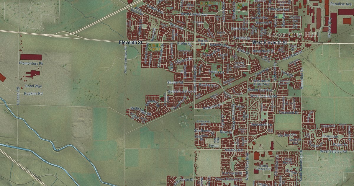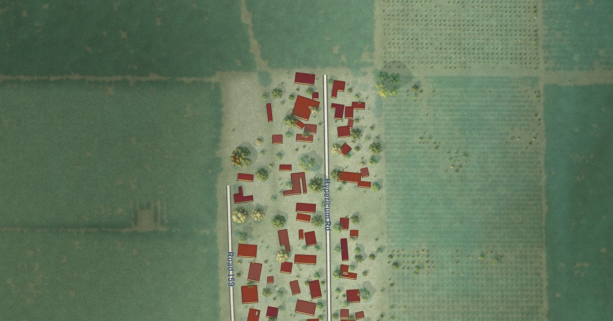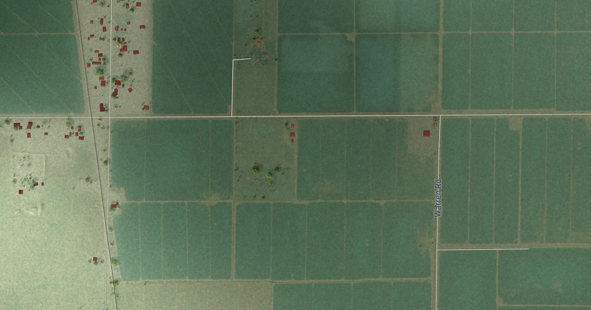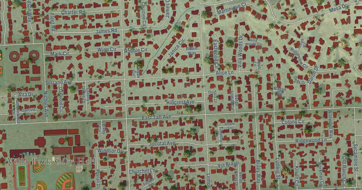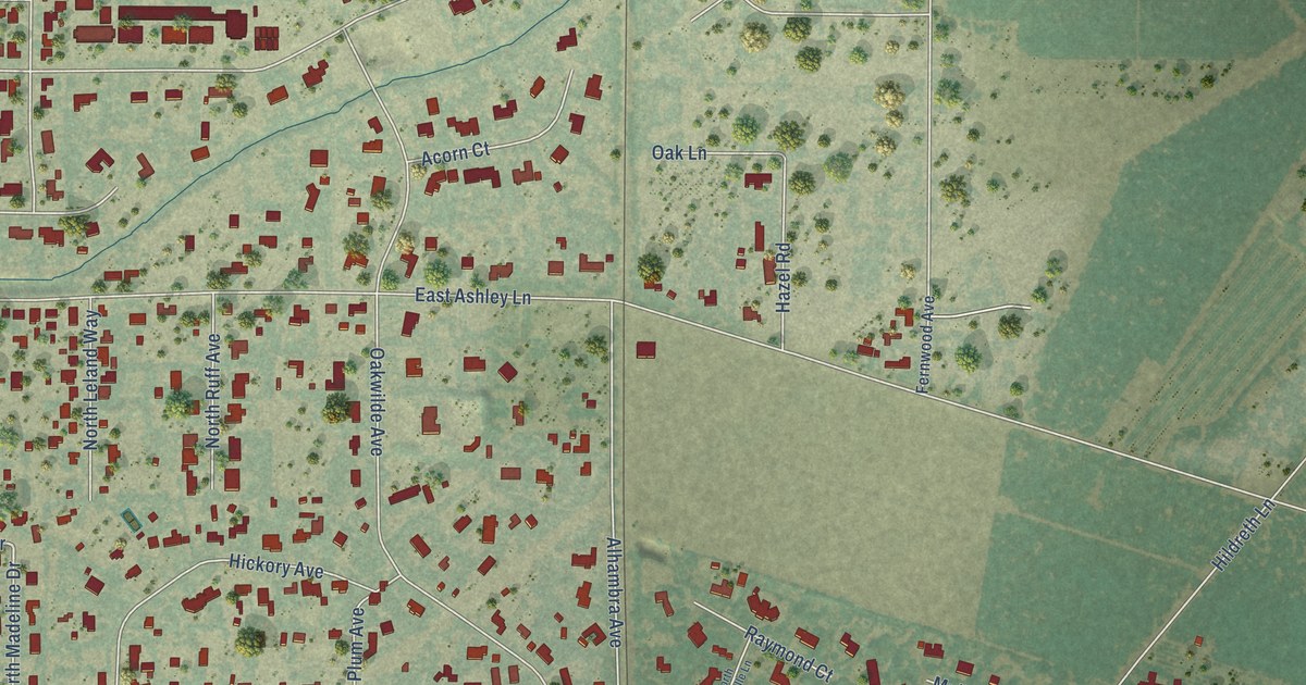
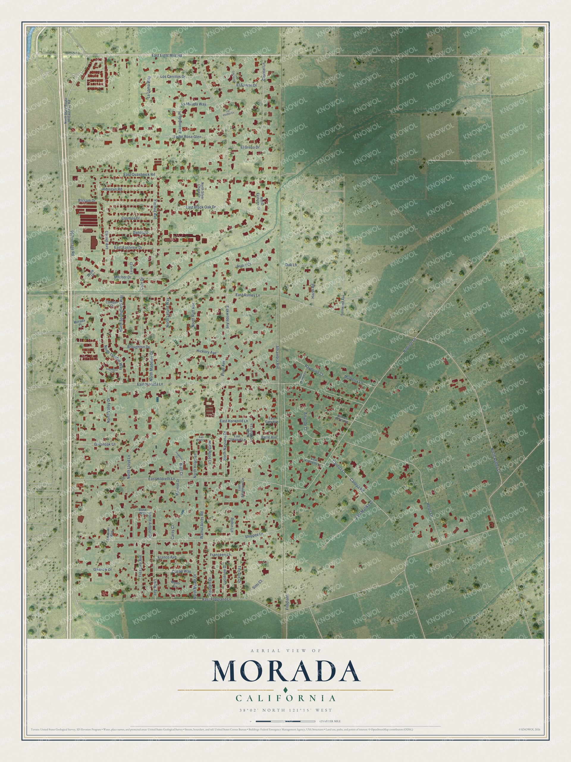
This beautifully detailed map of Morada, California was created in 2026 using aerial imagery combined with modern topographical, census, street and landmark data. It's a modern aerial view of Morada in San Joaquin County, California, that combines modern data with a vintage aesthetic. The roads feature printed names, and if you look closely you can find your exact house accurately shown in its correct location.
Explore an aerial view of Morada, California
On this map you'll find 99 Frontage Road, East Eight Mile Road, Canepa Lane, Broughton Drive, East Foppiano Lane, East Ashley Lane, Alhambra Avenue, Oakwilde Avenue, East Morada Lane, Hildreth Lane, North Ashley Lane, East Hildreth Lane, and more. Each red shape is a building, so zoom in on the preview and look for yours.
Morada is a community in San Joaquin County. The Census Bureau counted 4,054 people here in 2020. Morada sits about 3 miles west of Waterloo, 4 miles north of August and 5 miles north of Garden Acres. The map prints the town name in its title panel, with the coordinates below it.
Take a closer look at the Morada map
Names on this map
These names are printed on this map.
Streets and roads: 99 Frontage Road, East Eight Mile Road, Canepa Lane, Broughton Drive, East Foppiano Lane, East Ashley Lane, Alhambra Avenue, Oakwilde Avenue, East Morada Lane, Hildreth Lane, North Ashley Lane, East Hildreth Lane.
More street names, A to Z
Acorn Court, Amande Court, Balsam Drive, Barre Avenue, Bennett Drive, Blatt Court, Bond Way, Camden Court, Canepa Road, Carey Court, Chantel Lane, Cole Drive, Cosmos Drive, Cozad Way, Dahlia Drive, Doyle Court, East Adahmore Lane, East Black Oak Drive, East Eastview Drive, East Gary Avenue, East Harwood Lane, East Kimberly Lane, East Malika Court, East Oakview Lane, East Quashnick Road, East Shady Lane, El Greco Drive, El Sanjon Drive, Emanuel Way, Escondido Place, Fernwood Avenue, Foppiano, Franceen Lane, Franco Avenue, Freesia Avenue, Garnet Avenue, Gnekow Drive, Greenoak Lane, Hazel Road, Helen Lane, Hibiscus Road, Hickory Avenue, Hidden Acres Road, Jonathon Court, La Loma Way, La Mirada Way, Laron Court, Las Casitas Circle, Las Positas Circle, Leale Avenue, Los Cerritos Drive, Lucienne Drive, Manor Circle, Maranon Drive, Morada Place, Mosher Drive, Mulberry Lane, North Arbour Drive, North Eastview Drive, North Frankford Lane, North Hilary Lane, North Hope Lane, North Leland Way, North Lloyd Lane, North Madeline Drive, North Meath Drive, North Michelle Lane, North Nassano Drive, North Ruff Avenue, North Silver Chase Drive, North Springfield Way, North State Route 99 East Fire Road, North Trenton Way, North Valley Drive, Oak Lane, Plum Avenue, Raymond Court, Ridgewood Court, Robin Lane, Shippee Lane, Simi Court, Terrace Drive, Treasure Avenue, Tudor Rose Glen, Walnut Acres Road.
See it on a wall
The Morada map as a framed print. Swipe for more.


Created by KNOWOL in 2026. The buildings are small red shapes, the roads carry their printed names, and shaded relief shows the shape of the land. The title panel reads "AERIAL VIEW OF MORADA, CALIFORNIA" with 38°02' NORTH 121°15' WEST.
It looks right in a kitchen, an office or a den, and it's a gift for anyone who grew up in Morada or moved away. Open the preview and find your street. See sizes and frames for the Morada map.