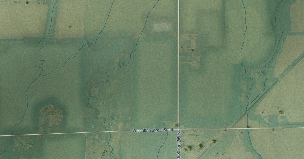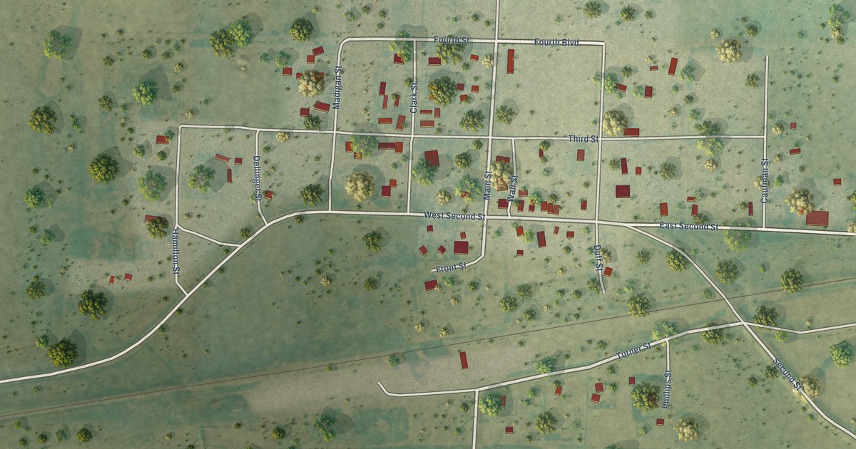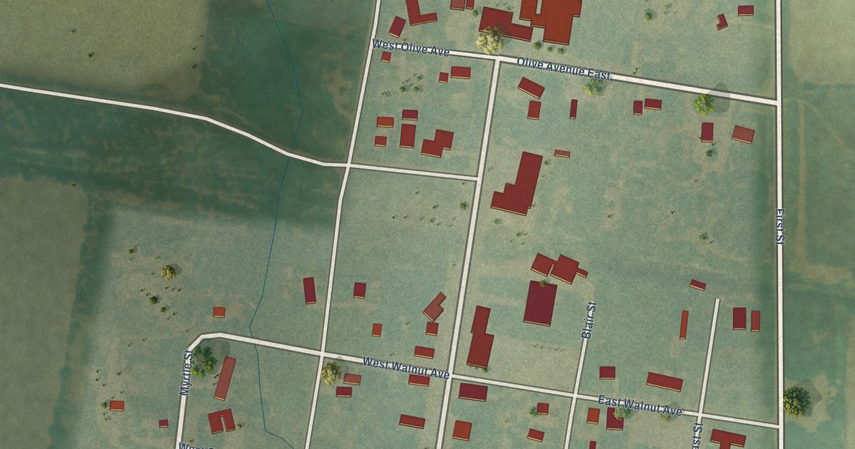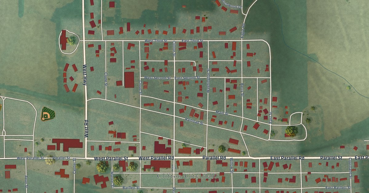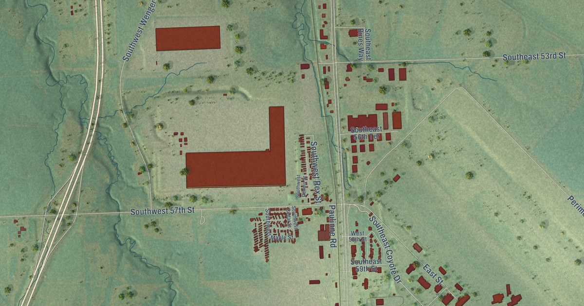
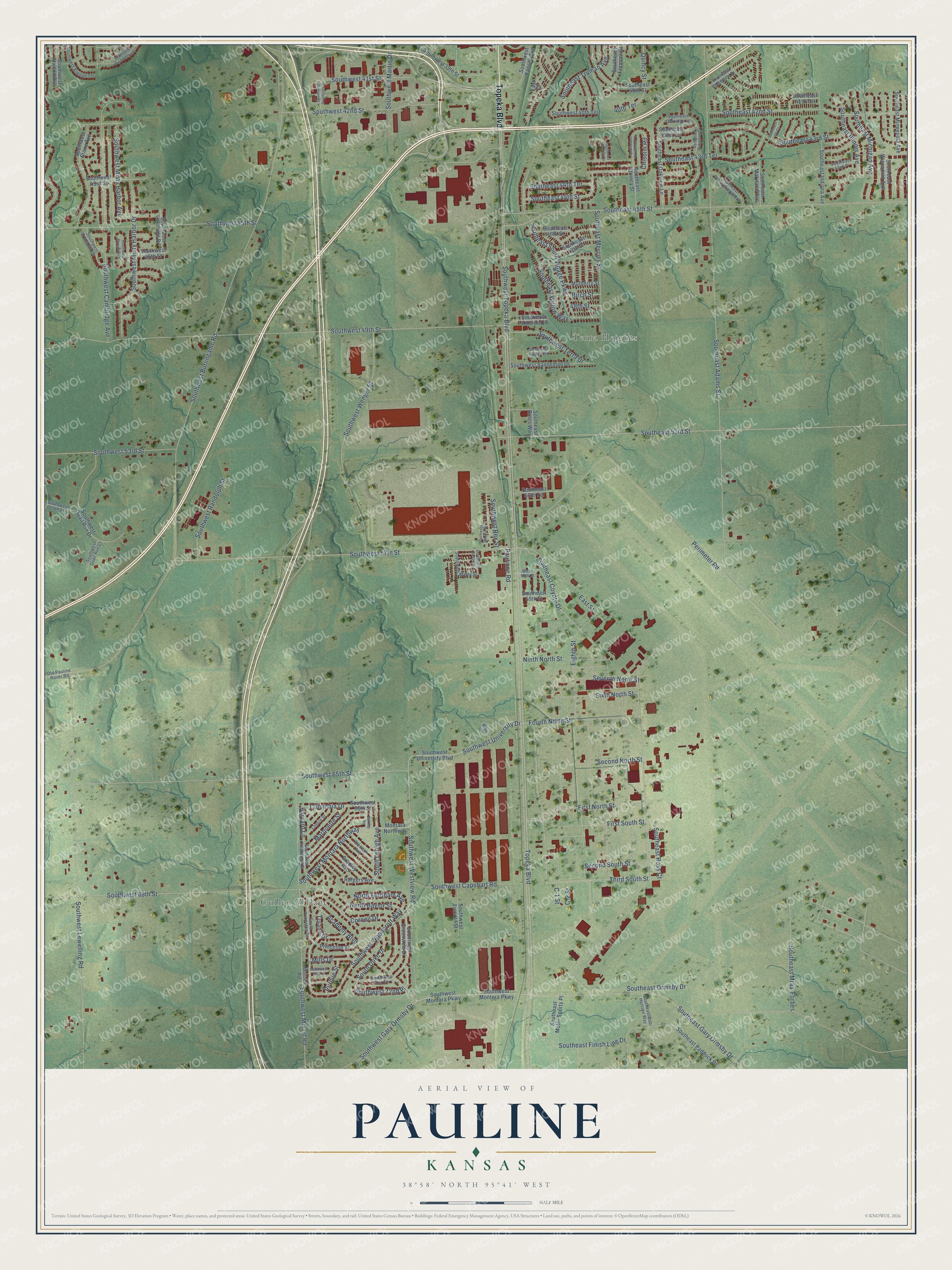
This beautifully detailed map of Pauline, Kansas was created in 2026 using aerial imagery combined with modern topographical, census, street and landmark data. It’s a one-of-a-kind view of Pauline that combines accurate data with a vintage aesthetic. The map shows every building in its true location, many of the roads carry their names, and the shaded topographic relief shows the shape of the land.
Explore an aerial view of Pauline, Kansas
On the map you’ll find Cullen Village, Terra Heights, Southwest 72nd Place, and Southeast Mtaa-Forbes, along with Topeka Boulevard, Southwest Woodcroft Way, South Duke Drive, Southeast Coyote Drive, Perimeter Road, Southeast 45th Street, North Baylor Street, Southwest University Drive, and more. If you look closely you can even find your house accurately drawn in its correct location. Zoom in on the preview to look for yours.
Did You Know?
From Internet Archive: "It was located in the counties of Pottawatomie, Jackson, Shawnee and Jackson; the southeast corner of the tract wpe contiguous to the road at Pauline Station, a few miles south of Topeka."
Pauline is a community in Shawnee County.
Take a closer look at the Pauline map
Names on this map
These names are printed on this map.
Places: Cullen Village and Terra Heights.
Streets and roads: Topeka Boulevard, Southwest Woodcroft Way, Southwest 72nd Place, South Duke Drive, Southeast Mtaa-Forbes, Southeast Coyote Drive, Perimeter Road, Southeast 45th Street, North Baylor Street, Southwest University Drive, Third South Street, Academy Boulevard.
More street names, A to Z
40th Terrace, 48th Street, Baker Drive, Berkley Road, Birch Street, Bradley Avenue, C-1 Street, C-2 Street, Chisolm Road, Clemson Avenue, Columbia Drive, Cornell Drive, East Drive, East Street, Eighth Street, First North Street, First South Street, Fourth North Street, Harvard Lane, Loyola Street, Marquette Street, Mills Drive, Montara Northway, Morrell Road, Mulberry Street, Ninth North Street, North Fordham Avenue, Old Pauline Rover Road, Paulinne Road, Princeton Street, Purdue Street, Quincy Street, Rutgers Avenue, Second North Street, Second South Street, Seventh North Street, Sixth North Street, Southeast 40th Street, Southeast 41st Terrace, Southeast 42nd Street, Southeast 42nd Terrace, Southeast 43rd Place, Southeast 43rd Street, Southeast 43rd Terrace, Southeast 44th Street, Southeast 44th Terrace, Southeast 46th Street, Southeast 47th Street, Southeast 53rd Street, Southeast 56th Terrace, Southeast 59th Street, Southeast Adams Street, Southeast Bines Way, Southeast Bob Hertzen Way, Southeast Finish Line Drive, Southeast Fremont Street, Southeast Gary Ormsby Drive, Southeast Hillside Drive, Southeast Horseshoe Drive, Southeast Illinois Avenue, Southeast Indiana Avenue, Southeast Liveoak Drive, Southeast Maryland Avenue, Southeast Mercier Street, Southeast Michigan Avenue, Southeast Minnesota Avenue, Southeast Motor Sports Place, Southeast Oakridge Lane, Southeast Oakview Lane, Southeast Oakwood Street, Southeast Ormsby Drive, Southeast Paddock Drive, Southeast Pennsylvania Avenue, Southeast Quincy Street, Southeast Ridgeview Drive, Southeast Ross Court, Southeast South Village Parkway, Southeast Truman Avenue, Southeast Va Court, Southeast Willow Way, Southeast Wisconsin Avenue, South Lehigh Avenue, South Princeton Street, Southwest 39th Street, Southwest 40th Terrace, Southwest 41st Street, Southwest 42nd Street, Southwest 43rd Street, Southwest 45th Street, Southwest 46th Street, Southwest 49th Street, Southwest 53rd Street, Southwest 55th Street, Southwest 57th Street, Southwest 65th Street, Southwest 66th Street, Southwest 69th Street, Southwest 72nd Street, Southwest 72nd Terrace, Southwest Alexander Court, Southwest Atwood Avenue, Southwest Atwood Terrace, Southwest Burlingame Road, Southwest Cambridge Avenue, Southwest Capehart Road, Southwest Cedar Street, Southwest Crenshaw Drive, Southwest Crestwood Drive, Southwest Dennis Street, Southwest Gary Ormsby Drive, Southwest Greenview Drive, Southwest Heights Road, Southwest Kansas Avenue, Southwest Lakeside Drive, Southwest Lewelling Road, Southwest Lincoln Street, Southwest Maple Street, Southwest Martin Drive, Southwest Misty Harbor Avenue, Southwest Misty Harbor Drive, Southwest Montara Northway, Southwest Montara Parkway, Southwest Montera Parkway, Southwest Morrill Road, Southwest Quail Run Court, Southwest Quail Run Drive, Southwest Randolph Street, Southwest Rex Street, Southwest Sanneman Drive, Southwest Southgate Drive, Southwest Stone Avenue, Southwest Terra Drive, Southwest Topeka Boulevard, Southwest University Boulevard, Southwest Wenger Street, Southwest Westview Road, Southwest Wood Valley Drive, Tulane Drive, West 58th Street.
See it on a wall
The Pauline map as a framed print. Swipe for more.


This beautifully detailed map of Pauline makes an attractive addition to your office, library, or den, and it can even be used to teach children the geography and history of the area. It also makes a great gift for anyone with Pauline roots. When you’re done exploring, click here to get your copy of the Pauline map.