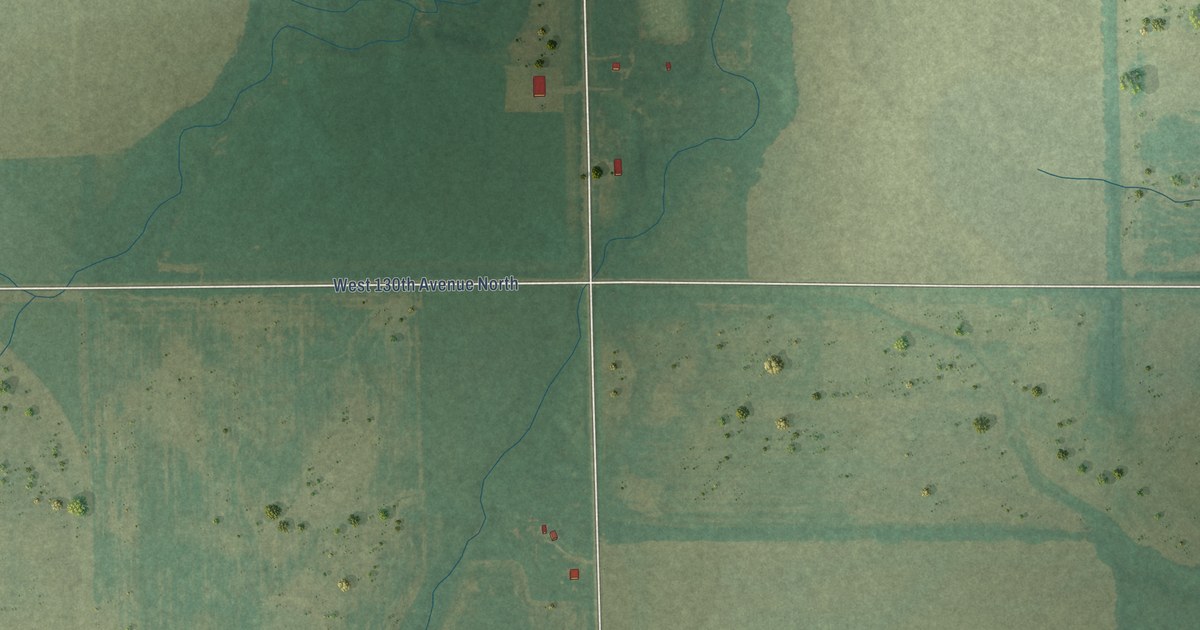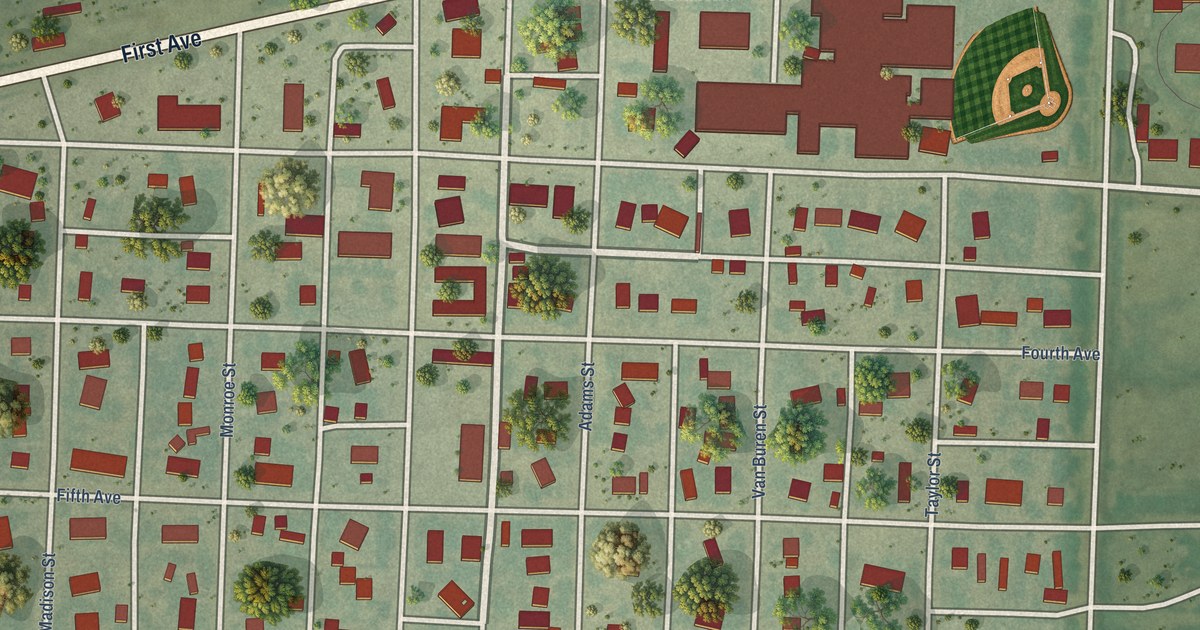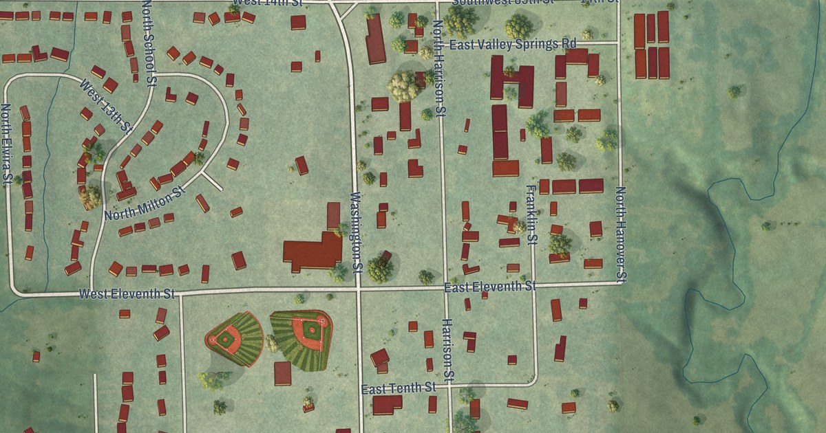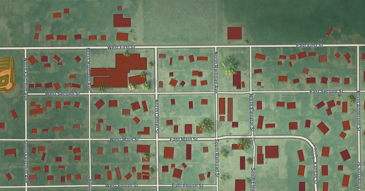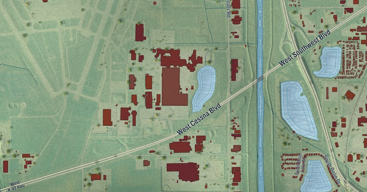
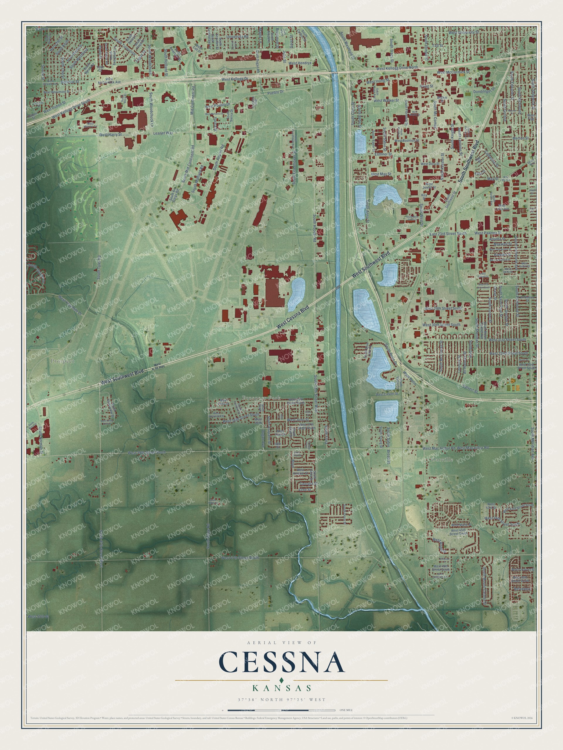
This beautifully detailed map of Cessna, Kansas was created in 2026 using aerial imagery combined with modern topographical, census, street and landmark data. It’s a one-of-a-kind view of Cessna that combines accurate data with a vintage aesthetic. The map shows every building in its true location, many of the roads carry their names, and the shaded topographic relief shows the shape of the land.
Explore an aerial view of Cessna, Kansas
On the map you’ll find Tyler, Prospect, Oatville, and Prospect Park, along with West Southwest Boulevard, South Southwest Boulevard, West Cessna Boulevard, South Mid Continent Road, South Airport Road, Mid Continent Road, West University Street, South Leonine Street, and more. If you look closely you can even find your house accurately drawn in its correct location. Zoom in on the preview to look for yours.
Take a closer look at the Cessna map
Names on this map
These names are printed on this map.
Places: Tyler, Prospect, Oatville and Prospect Park.
Streets and roads: West Southwest Boulevard, South Southwest Boulevard, West Cessna Boulevard, South Mid Continent Road, South Airport Road, Mid Continent Road, West University Street, South Leonine Street, South Kessler Street, West Pawnee Street, Esthner Street, South Anna Street.
More street names, A to Z
38th Street, 42nd Street, All Hallows Street, Atlanta Street, Bellview Street, Belvedere, Boyd, Broad Street, Brummett Street, Calvert Street, Catherine Street, Chase Street, Chitwood Street, Dondilnger Drive, Dubon Street, Dugan Avenue, East 23rd Street South, Edna Street, Garst Street, Georgia Street, Gilda Court, Hadden Street, Herschel Street, Heuett Street, Irving Street, Jewell Street, Julia Street, Juno Court, Kay Street, Learjet Way, Leonine Street, Lotus Street, Lynndale Street, Maple Lane, Maple Street, Maxwell Street, May Street, Merton Street, Monroe Street, Orient Boulevard, Paula Street, Pueblo Drive, Rita Street, Seville Street, South 55th Street West, South 87th Street West, South Air Cargo Road, South All Hallows Avenue, South Arapaho, South Arapaho Street, South Baehr Street, South Bebe Street, South Blue Lake Street, South Bolin Drive, South Boyd Court, South Boyd Street, South Byron Road, South Carlton Street, South Cheryl, South Clara Street, South Custer Avenue, South Custer Street, South Doris Street, South Dugan, South Dugan Road, South Edwards Street, South Eisenhower Avenue, South Eisenhower Street, South Emerson Street, South Evergreen Lane, South Fairlawn Street, South Flora, South Florence Street, South Floyd Street, South Gilda Circle, South Gilda Street, South Glacier Drive, South Gordon, South Gordon Street, South Gow, South Holland Street, South Hoover Road, South Howe Street, South Illinois Street, South Julia Street, South Keith, South Knight Street, South Mamie Lane, South Maybelle, South Mc Comas, South McComas Street, South Meridian Avenue, South Midco Street, South Midfield Road, South Mount Carmel Avenue, South Mount Carmel Street, South Nevada Street, South Norman Street, South Reca Court, South Richmond, South Richmond Avenue, South Richmond Street, South Ridge Court, South Ridge Road, South Robin Road, South Sabin, South Sabin Court, South Sabin Street, South Saint Paul Street, South Scouller Street, South Sedgwick Street, South Sheridan Street, South Sierra Drive, South Socora, South Southwest Drive, South Summitlawn Street, South Tracy Street, South Turquoise, South Tyler Road, South Valleyview Street, South Westdale Drive, South Westfield, South West Street, South West Street Court, South Woodchuck, South Woodchuck Lane, South Young Avenue, South Young Street, Taft Street, Topaz Street, Tyler Court, University Road, Walker Street, West 27th Street South, West 29th Street South, West 30th Street South, West 31st Street South, West 32nd Street South, West 33rd Street South, West 35th Street South, West 36th Street South, West 37th Street South, West 39th Street South, West 43rd Street, West 43rd Street South, West 44th Street South, West 45th Street South, West 47th Street South, West 48th Street South, West 49th Street South, West 55th Street, West Angel Street, West Anita Street, West Beaumont Street, West Belview Avenue, West Bolin, West Bounous Street, West Calvert Street, West Casado Street, West Crawford Street, West Dallas Street, West Dora Street, West Dubon Street, West Fairhaven Avenue, West Figg, West Fortuna, West Harry Street, West Hendryx, West Hollywood Street, West Irving Street, West Jewell Street, West Juno, West Juno Street, West K-42 Highway, West Kellogg Drive, West Kellogg Drive North, West Kellogg Drive South, West Kemper Street, West Lydia Avenue, West Macarthur Road, West Mac Arthur Road, West Marie Street, West Mariposa Street, West May Avenue, West May Street, West McCormick Avenue, West McCormick Street, West Monroe Circle, West Monroe Street, West Oxberry Street, West Pueblo Court, West Pueblo Drive, West Savannah Street, West Taft Street, West Valley View Street, West Walker Street, West York Street, West Yosemite Drive, Wildwood Street, Yucca Street.
See it on a wall
The Cessna map as a framed print. Swipe for more.


This beautifully detailed map of Cessna makes an attractive addition to your office, library, or den, and it can even be used to teach children the geography and history of the area. It also makes a great gift for anyone who grew up in Cessna or moved away. When you’re done exploring, click here to get your copy of the Cessna map.