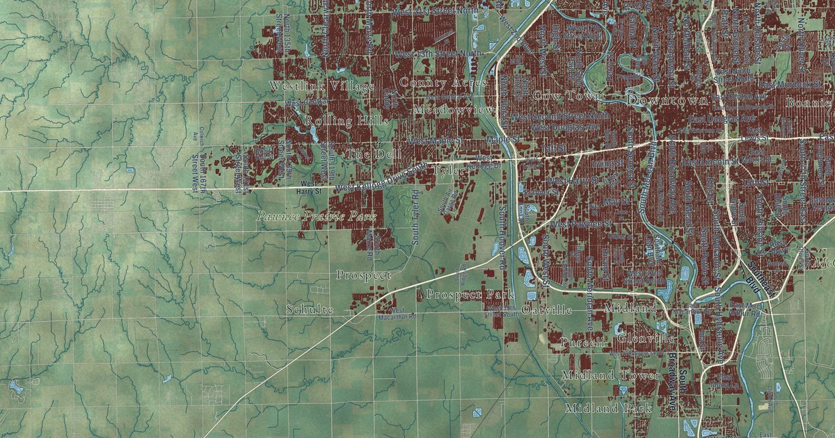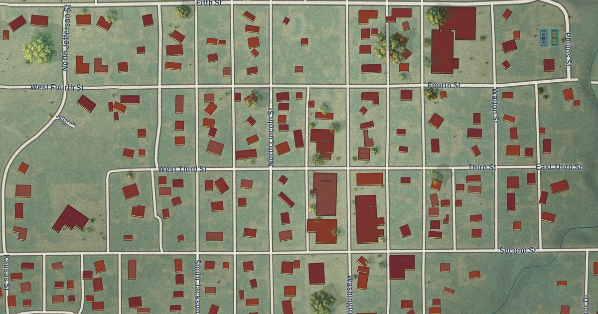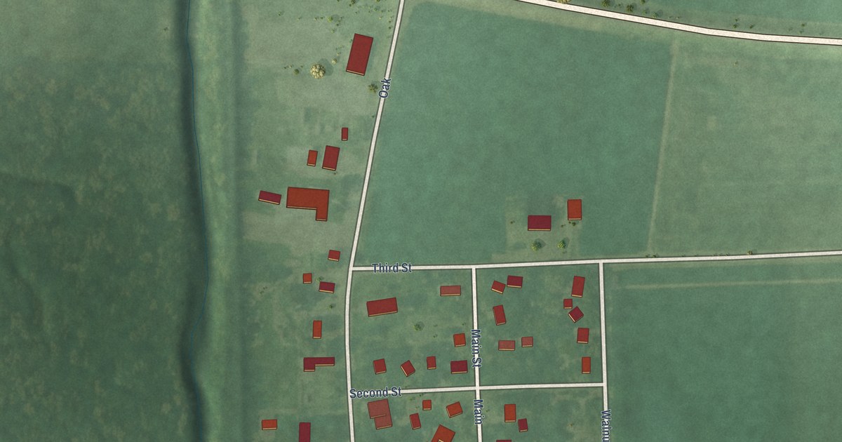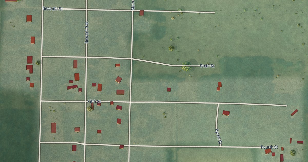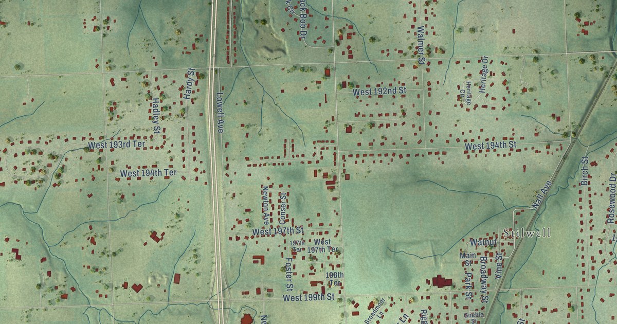
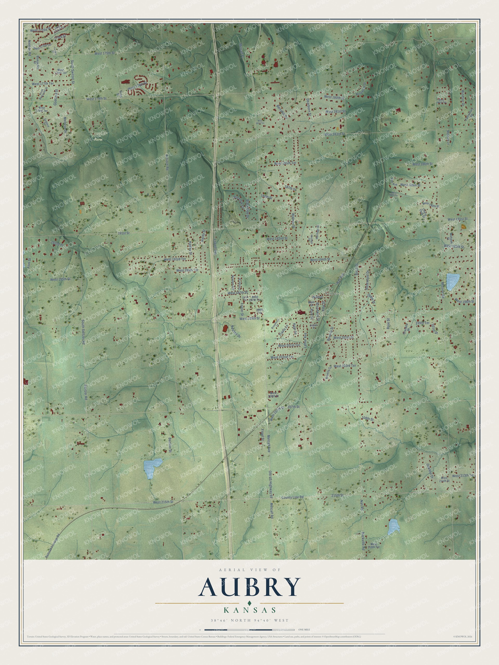
This beautifully detailed map of Aubry, Kansas was created in 2026 using aerial imagery combined with modern topographical, census, street and landmark data. It’s a one-of-a-kind view of Aubry that combines accurate data with a vintage aesthetic. The map shows every building in its true location, many of the roads carry their names, and the shaded topographic relief shows the shape of the land.
Explore an aerial view of Aubry, Kansas
On the map you’ll find Stilwell and Kemper Farm, along with West 191st Street, Windsor Drive, 198th Street, Lamar Avenue, Mission Road, Metcalf Avenue, Old US Highway 69, West 199th Street, 215th Street, County Line Road, and more. If you look closely you can even find your house accurately drawn in its correct location. Zoom in on the preview to look for yours.
Did You Know?
From Internet Archive: "The United States Government established Fort Aubry here in 1865, but it was abandoned within a year."
Aubry is a community in Johnson County.
Take a closer look at the Aubry map
Names on this map
These names are printed on this map.
Places: Stilwell and Kemper Farm.
Streets and roads: West 191st Street, Windsor Drive, 198th Street, Lamar Avenue, Mission Road, Metcalf Avenue, Old US Highway 69, West 199th Street, 215th Street, County Line Road, West 215th Street, 207th Street.
More street names, A to Z
108th Street, 173rd Street, 187th Street, 188th Street, 191st Street, 192nd Place, 197th Terrace, 198th Terrace, 199th Terrace, 201st Street, Antioch Road, Benson Street, Berryhill Drive, Beverly Circle, Beverly Street, Birch Street, Black Bob Drive, Black Oak Circle, Bluejacket Street, Briar Street, Broadmoor Lane, Broadway Street, Canterbury Road, Che la Thah Street, Conser Street, Dearborn Street, Flint Street, Floyd Street, Foster Street, Goddard Court, Goddard Street, Goeble Street, Granada Street, Grant Street, Hadley Street, Hardy Street, Heritage Circle, Heritage Drive, Larsen Street, Lowell Avenue, Main Street, Melrose Drive, Metcalf Place, Metcalf Road, Mohawk Lane, Mohawk Street, Nall Avenue, Nall Road, Newton Avenue, Newton Drive, Nieman Road, Oakleaf Drive, Park Street, Railroad Frontage Road, Riggs Road, Rockville Road, Roe Avenue, Rosewood Drive, Rosewood Street, South Bluejacket Street, South Switzer Road, South Switzer Street, Switzer Road, Travis Lane, Vine Street, Walmer Street, Walnut, West 172nd Street, West 172nd Terrace, West 173rd Terrace, West 175th Street, West 176th Terrace, West 177th Terrace, West 178th Street, West 179th Street, West 179th Terrace, West 180th Street, West 180th Terrace, West 181st Street, West 181st Terrace, West 183rd Street, West 185th Terrace, West 186th Street, West 188th Street, West 188th Terrace, West 190th Street, West 192nd Street, West 193rd Street, West 193rd Terrace, West 194th Street, West 194th Terrace, West 195th Street, West 197th Street, West 197th Terrace, West 198th Street, West 201st Street, West 201st Terrace, West 202nd Terrace, West 203rd Terrace, West 206th Street, West 207th Street, West 213th Terrace, West 214th Street, West 219th Terrace.
See it on a wall
The Aubry map as a framed print. Swipe for more.


This beautifully detailed map of Aubry makes an attractive addition to your office, library, or den, and it can even be used to teach children the geography and history of the area. It also makes a great gift for anyone who grew up in Aubry or moved away. When you’re done exploring, click here to get your copy of the Aubry map.