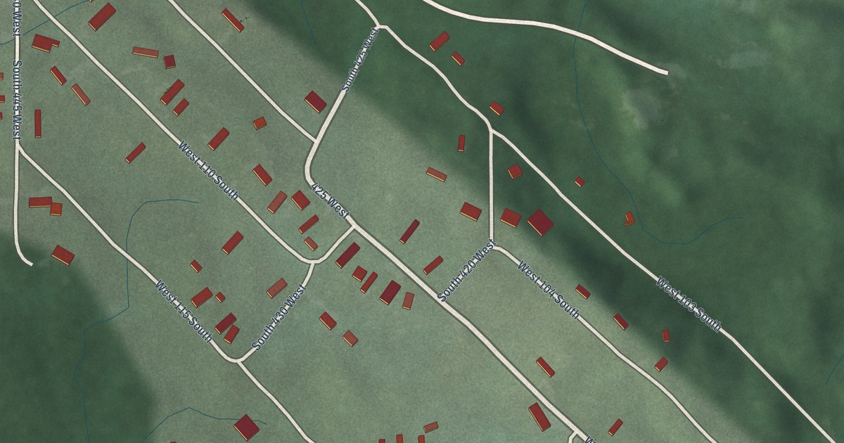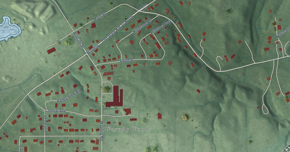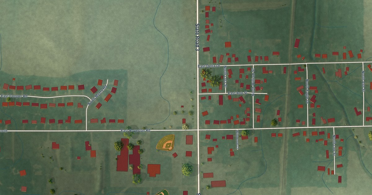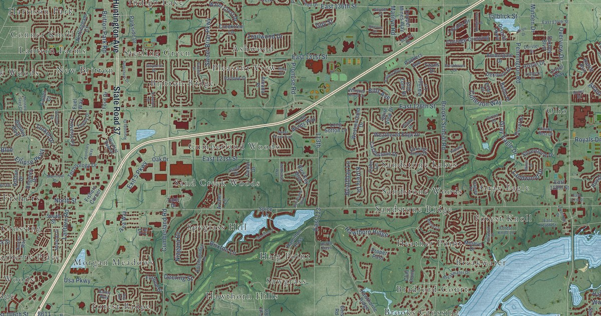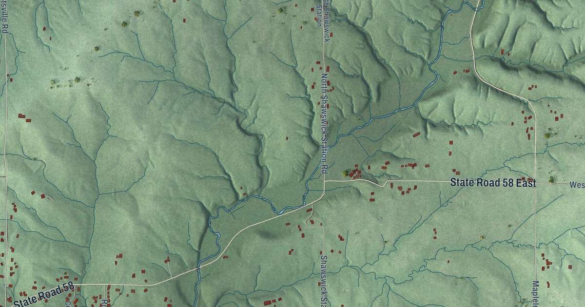
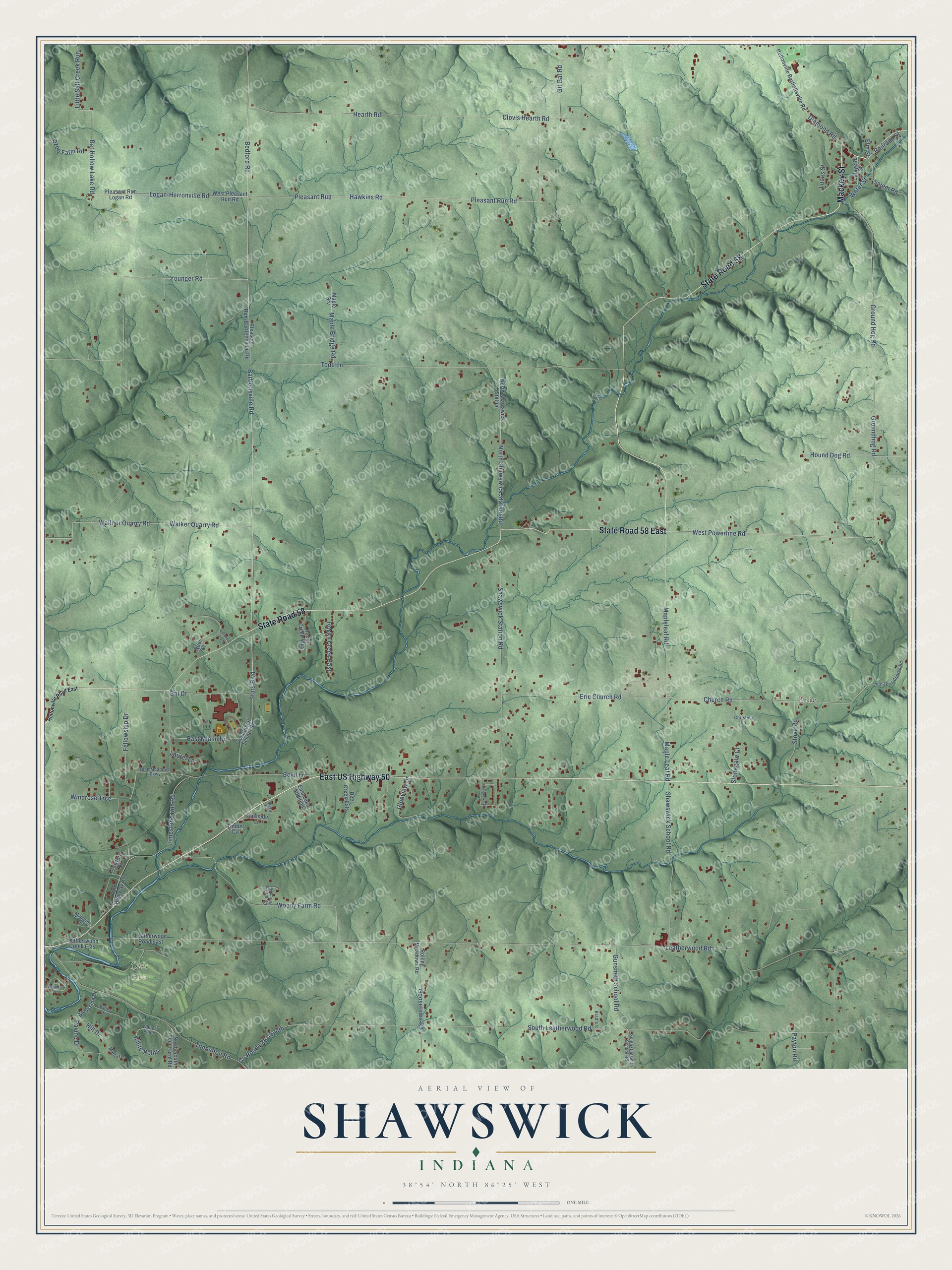
This beautifully detailed map of Shawswick, Indiana was created in 2026 using aerial imagery combined with modern topographical, census, street and landmark data. It’s a one-of-a-kind view of Shawswick that combines accurate data with a vintage aesthetic. The map shows every building in its true location, many of the roads carry their names, and the shaded topographic relief shows the shape of the land.
Explore an aerial view of Shawswick, Indiana
On the map you’ll find Erie and Otis Park, along with East US Highway 50, Mackey Street, State Road 58 East, State Road 58, Bartlettsville Road, Bedford Road, Stars Boulevard, East Miami Drive, Boyd Lane, Logan-Herronville Road, and more. If you look closely you can even find your house accurately drawn in its correct location. Zoom in on the preview to look for yours.
Did You Know?
From the 1884 History of Lawrence, Orange, and Washington Counties, Indiana: "In 1826 he settled in Shawswick Township, Lawrence Co., Ind., but a few years later moved to Illinois and from there in 1835 returned to Lawrence County and settled permanently in Pleasant Run Township, which has since been his home."
Shawswick is a community in Lawrence County.
Take a closer look at the Shawswick map
Names on this map
These names are printed on this map.
Places: Erie and Otis Park.
Streets and roads: East US Highway 50, Mackey Street, State Road 58 East, State Road 58, Bartlettsville Road, Bedford Road, Stars Boulevard, East Miami Drive, Boyd Lane, Logan-Herronville Road, Hawkins Road, Church Road.
More street names, A to Z
Bat Hollow Lake Road, Bnl Drive, Bradford, Brookside Drive, Christina Lane, Clearview Acres Road, Clovis Hearth Road, Corrie Lane, Crawford Drive, Deer Creek Ests, Diamond Road, East Erie Church Road, East Lake Addition, Eastside Lane, Elm Street, Erie Church Road, Fellowship Drive, Gil Gal Road, Glen Meadows Parkway, Glenview Drive, Goosetown Road, Ground Hog Road, Groundhog Road, Gunsmith School Road, Hearth Road, Heltonville Bartlettsville Road, Heltonville Road East, Hill Drive, Hound Dog Road, Ikerd Lane, Lafayette Street, Laurel Lane, Leatherwood Circle, Leatherwood Creek Ests, Leatherwood Road, Leatherwood Road East, Limestone Run Road, Little Salt Creek Run, Lucas Street, Maple Bridge Road, Maple Grv, Maple Leaf Road, Mapleleaf Road, Mapleton Drive, Martin Drive, Noel Court, North Shawswick Station, North Shawswick Station Road, North South Poor Farm Road, Old Highway Road, Ozee Farm Road, Payton Road, Pleasant Run, Pleasant Run-Bartlettsville Road, Pleasant Run Logan Road, Pleasant Run Road, Railroad Street, Ravine Drive, Rocky Creek East, Rocky Creek West, Rolling Meadows Road, Salem Road, Shawswick School Road, Shawswick Station Road, South Gunsmith School Road, South Leatherwood Road, Stonegate Court, Stove Road, Sycamore Drive, Timber Circle, Todd Lane, Tunnelton Road, Valley Drive, Vocational School Road, Walker Quarry Road, Wallner Quarry Road, Water Street, West Pleasant Run Road, West Powerline Road, White Point, Whites Point, Windrose Trce, Woody Farm Road, Younger Road.
See it on a wall
The Shawswick map as a framed print. Swipe for more.


This beautifully detailed map of Shawswick makes an attractive addition to your office, library, or den, and it can even be used to teach children the geography and history of the area. It also makes a great gift for anyone with Shawswick roots. When you’re done exploring, click here to get your copy of the Shawswick map.