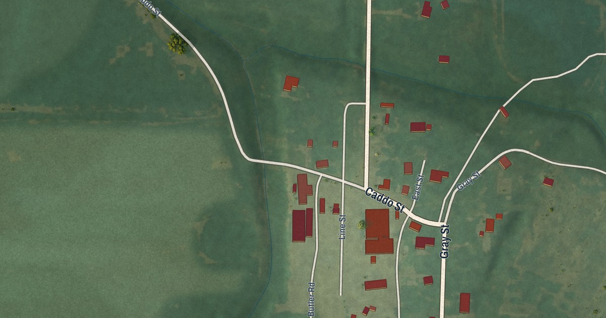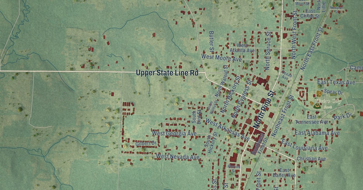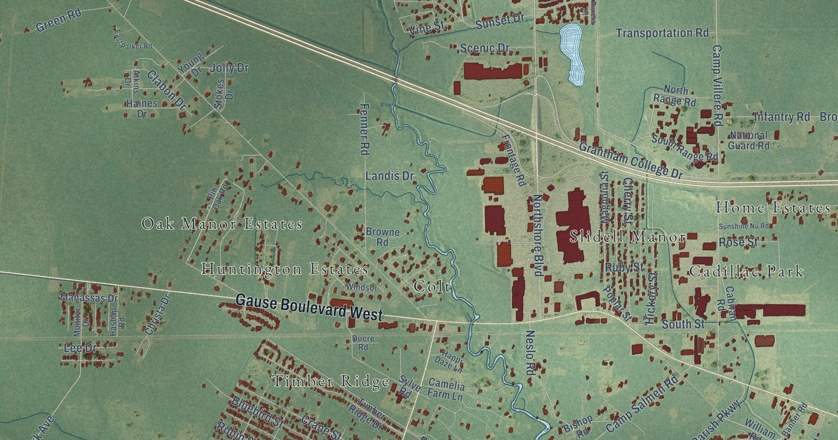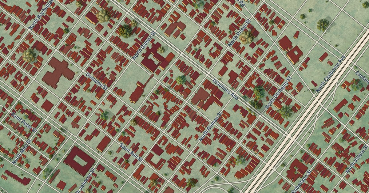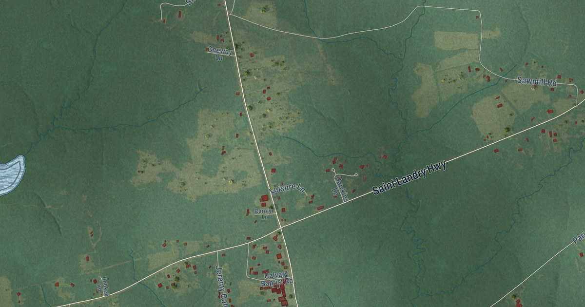
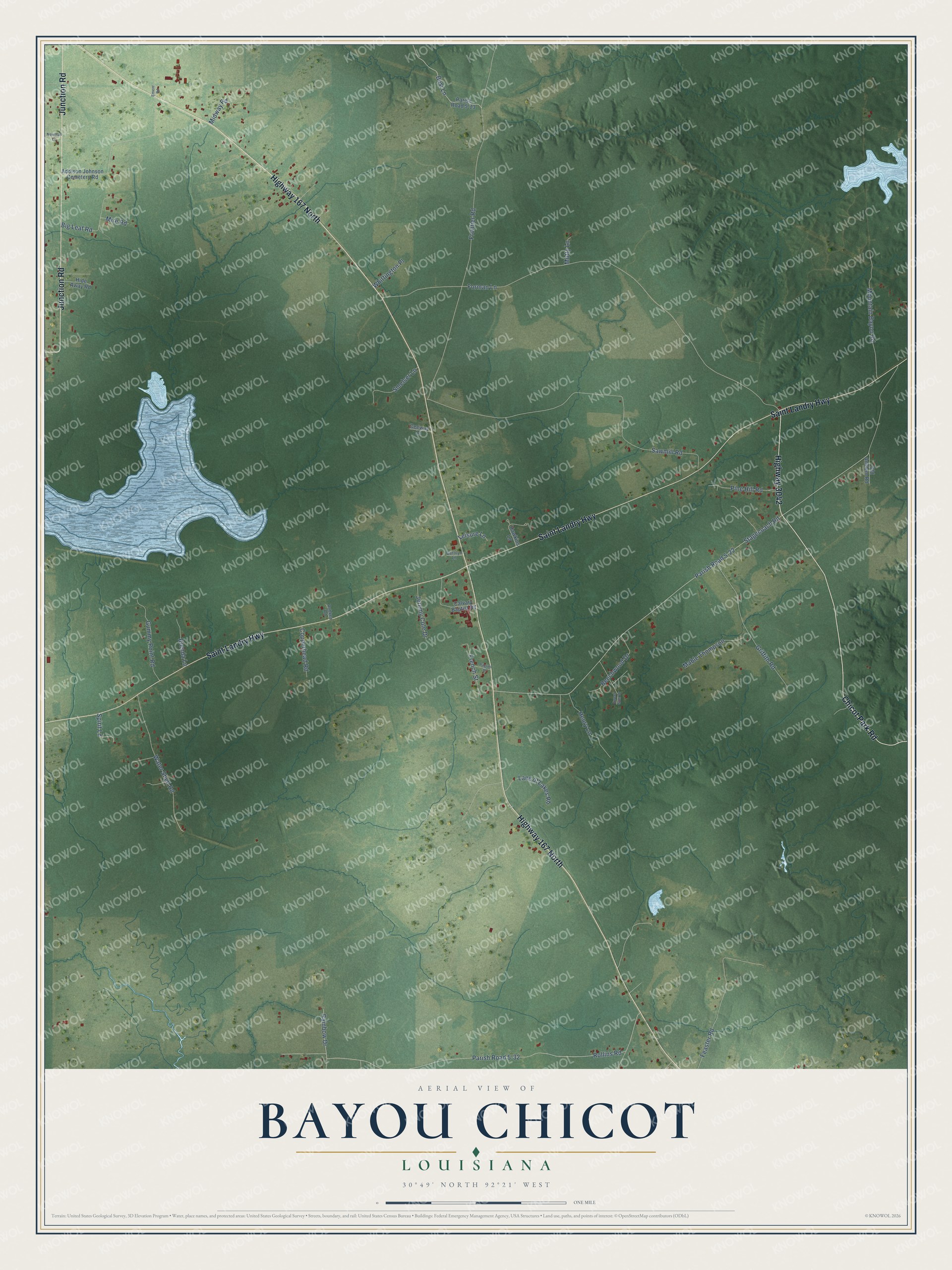
This beautifully detailed map of Bayou Chicot, Louisiana was created in 2026 using aerial imagery combined with modern topographical, census, street and landmark data. It’s a one-of-a-kind view of Bayou Chicot that combines accurate data with a vintage aesthetic. The map shows every building in its true location, many of the roads carry their names, and the shaded topographic relief shows the shape of the land.
Explore an aerial view of Bayou Chicot, Louisiana
On the map you’ll find Parish Road 5-22 and Parish Road 5-32, along with Highway 167 North, Saint Landry Highway, Chicot Park Road, Junction Road, Highway 3042, Stagecoach Road, Forman Lane, Rollins Road, Frontier Road, Sawmill Road, and more. If you look closely you can even find your house accurately drawn in its correct location. Zoom in on the preview to look for yours.
Did You Know?
From the 1891 Southwest Louisiana, Biographical and Historical: "In 1S17, yet other members, dismissed from the mother-church at Bayou Chicot, formed churches at Vermilion, Plaquemine Brule, and Hickory Flat, now Aimwell in Catahoula parish."
Bayou Chicot is a community in Evangeline Parish.
Take a closer look at the Bayou Chicot map
Names on this map
These names are printed on this map.
Streets and roads: Highway 167 North, Saint Landry Highway, Chicot Park Road, Junction Road, Highway 3042, Stagecoach Road, Forman Lane, Parish Road 5-22, Parish Road 5-32, Rollins Road, Frontier Road, Sawmill Road.
More street names, A to Z
Addison Johnson Cemetery Road, Beechwood Drive, Besi Lane, Big Leaf Road, Brenda Lane, Calvary Baptist Road, Carolyn Lane, Ceeway Lane, Copperhead Road, Ement Road, Feaster Road, French Street, Griffith Road, Gummy Point Road, Hawkins Lane, Henry Lane, Hide Away Road, Jeremy Cole Drive, Land of Lakes Road, Leisure Lane, Mable Thompson, Midway Road, Mire Road, Motty Lane, Mountain Bayou Road, Newman Lane, Old Anslem Road, Parish Road 5-13, Pilgrim Street, Pine Hill Road, Rainbow Drive, Robken Road, Smelser Lane, Spirit Lane, Sweet Gum Drive, Water Shed Road, Whittington Place.
See it on a wall
The Bayou Chicot map as a framed print. Swipe for more.


This beautifully detailed map of Bayou Chicot makes an attractive addition to your office, library, or den, and it can even be used to teach children the geography and history of the area. It also makes a great gift for someone who left Bayou Chicot and still calls it home. When you’re done exploring, click here to get your copy of the Bayou Chicot map.