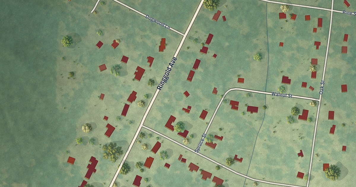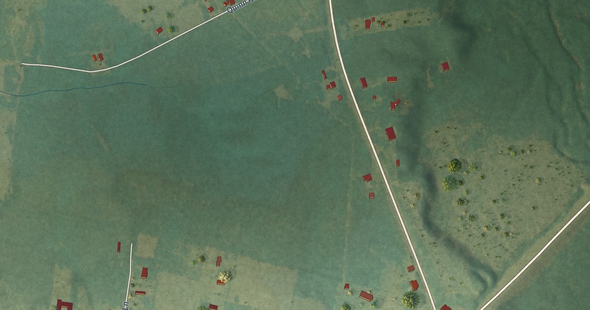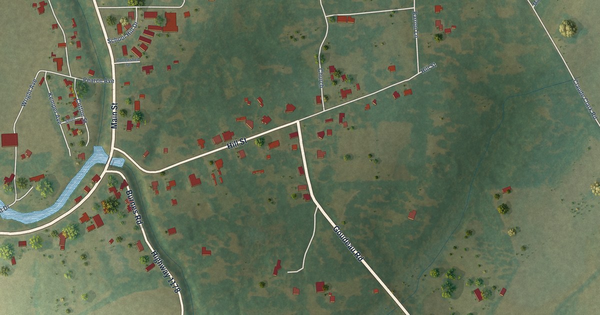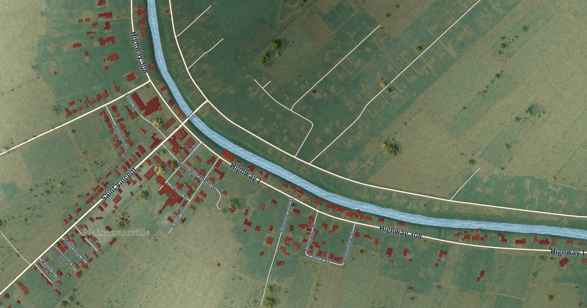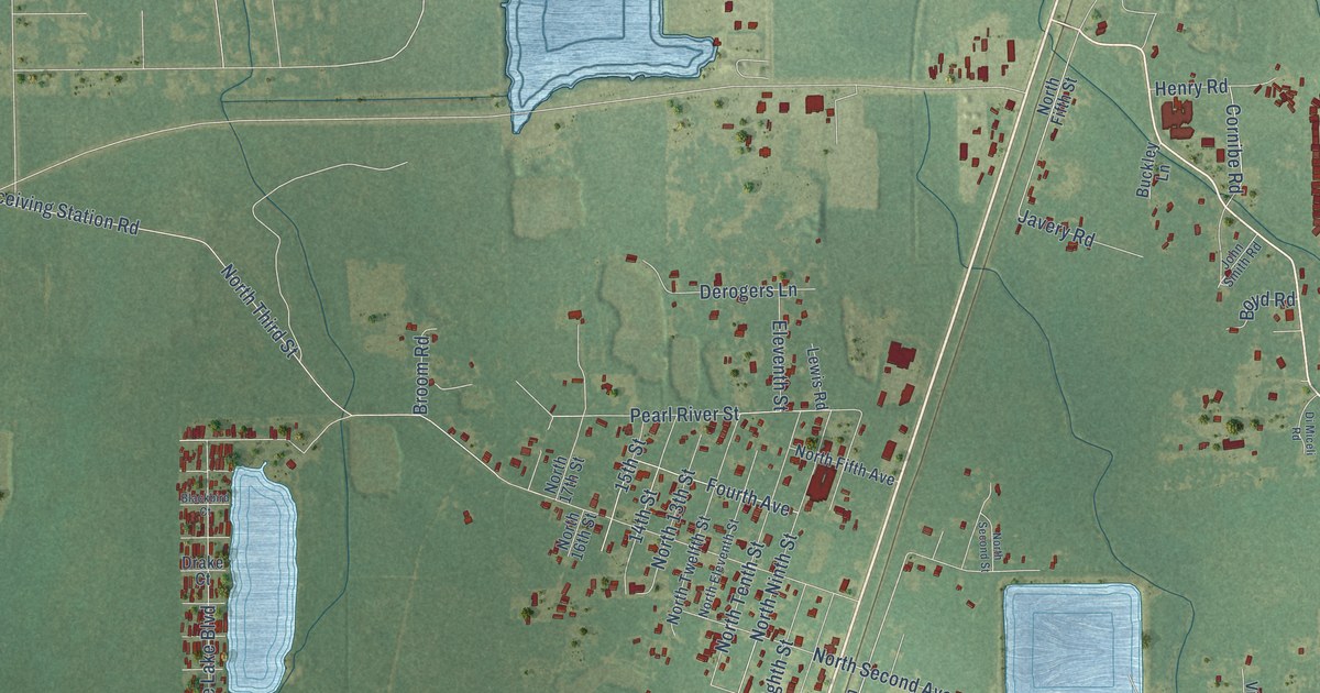
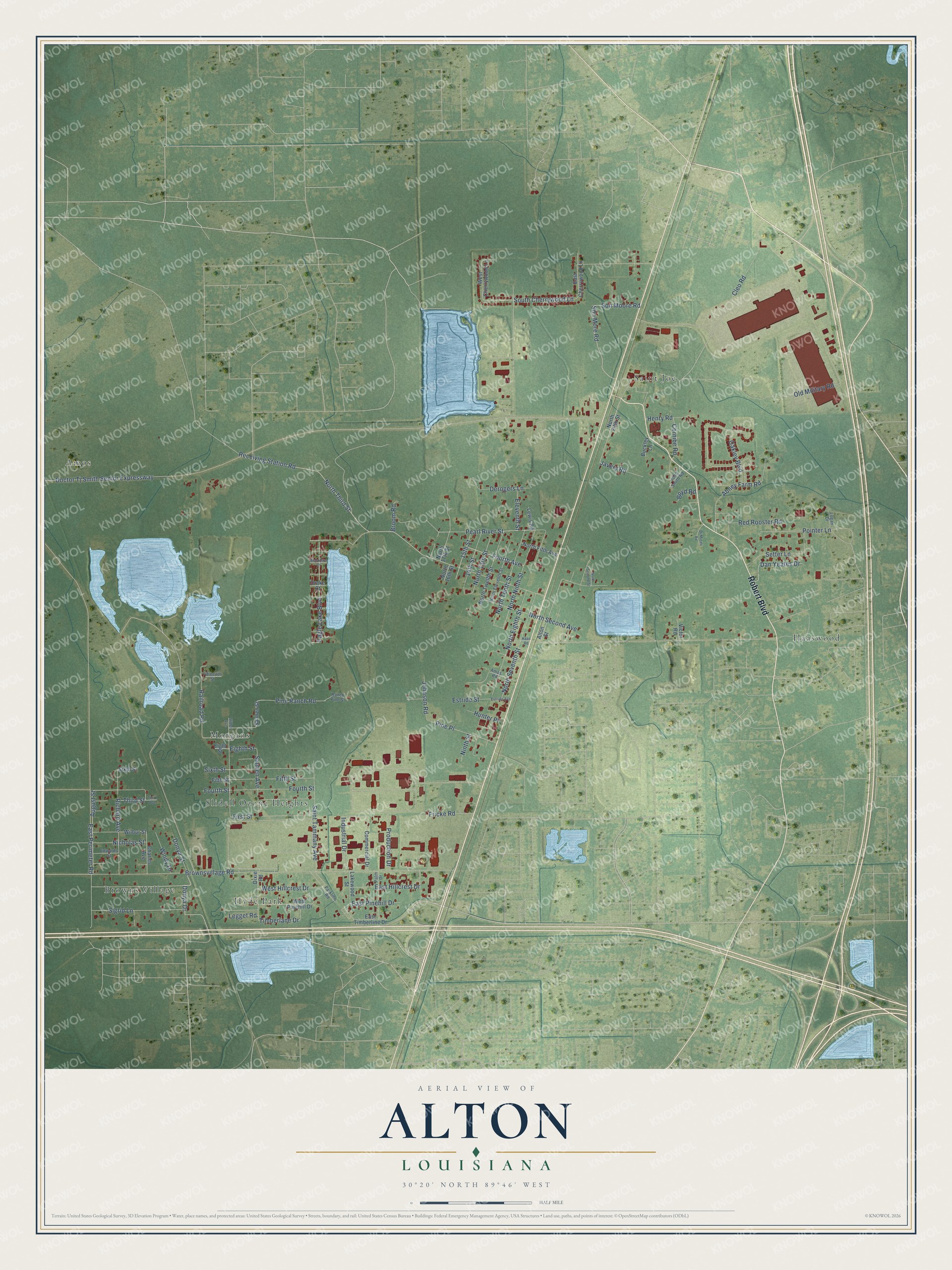
This beautifully detailed map of Alton, Louisiana was created in 2026 using aerial imagery combined with modern topographical, census, street and landmark data. It’s a one-of-a-kind view of Alton that combines accurate data with a vintage aesthetic. The map shows every building in its true location, many of the roads carry their names, and the shaded topographic relief shows the shape of the land.
Explore an aerial view of Alton, Louisiana
On the map you’ll find Morgans, Saint Joe, Browns Village, Amos, Haaswood, Hyde Park, and Slidell Ozone Heights, along with Robert Boulevard, Fifth Street, Fourth Avenue, Salmen Avenue, Javery Road, and more. If you look closely you can even find your house accurately drawn in its correct location. Zoom in on the preview to look for yours.
Did You Know?
From the 1904 Louisiana Purchase and the Westward Movement: "The first common schools were established in the city of Alton, which donated one hundred town lots, one-half for the support of public schools and the other half for the support of the Gospel."
Alton is a community in St. Tammany Parish.
Take a closer look at the Alton map
Names on this map
These names are printed on this map.
Places: Morgans, Saint Joe, Browns Village, Amos, Haaswood, Hyde Park and Slidell Ozone Heights.
Streets and roads: Robert Boulevard, Fifth Street, Fourth Avenue, Salmen Avenue, Javery Road, Donya Drive, Doctor Tj Smith Senior Expressway, Brownsvillage Road, North Third Street, Old Military Road, East Perimeter Road, Receiving Station Road.
More street names, A to Z
14th Street, 15th Street, Abney Farm Road, Alton Street, Amos Road, August Street, Blackbird Court, Boyd Road, Broom Road, Buckley Lane, Charles Avenue, Cleo Road, Commercial Drive, Cornibe Road, Dan Yeates Drive, Derogers Lane, Di Miceli Road, Dixie Road, Donya Street, Drake Court, Eagle Lake Boulevard, East Cherrywood Lane, East Hillcrest Drive, East Pinehill Drive, East Timberline Drive, Edwards Street, Eighth Street, Eight Street, Eleventh Street, Estride Avenue, Estride Street, Fifteenth Street, First Street, Fourth Street, Fricke Road, Haas Road, Henry Road, Hunter Place, Industrial Drive, John Smith Road, Johnson Road, Lakewood Street, Legget Road, Lewis Road, Logan Drive, Nicholas Street, Ninth Street, North 13th Street, North 16th Street, North 17th Street, North Eighth Street, North Eleventh Street, North Fifth Avenue, North Fifth Street, North Ninth Street, North Second Avenue, North Second Street, North Seventh Street, North Tenth Street, North Twelfth Street, Oakley Boulevard, Palm Drive, Parkline Road, Pearl River Street, Pine Place, Pine Ranch Road, Pointer Lane, Production Drive, Railroad Road, Ranch Pine Street, Red Rooster Road, Richard Avenue, Saint Tammany Avenue, Salmen Street, Setter Lane, Sigrid Lane, Sixth Street, Slidell Avenue, Son Moore Road, Son More Road, South Cherrywood Lane, Third Avenue, Third Street, Timberlane Drive, Victor Road, West Cherrywood Lane, West Hillcrest Drive, West Pinehill Drive, Wilbur Street, Windy Drive.
See it on a wall
The Alton map as a framed print. Swipe for more.


This beautifully detailed map of Alton makes an attractive addition to your office, library, or den, and it can even be used to teach children the geography and history of the area. It also makes a great gift for anyone who grew up in Alton or moved away. When you’re done exploring, click here to get your copy of the Alton map.