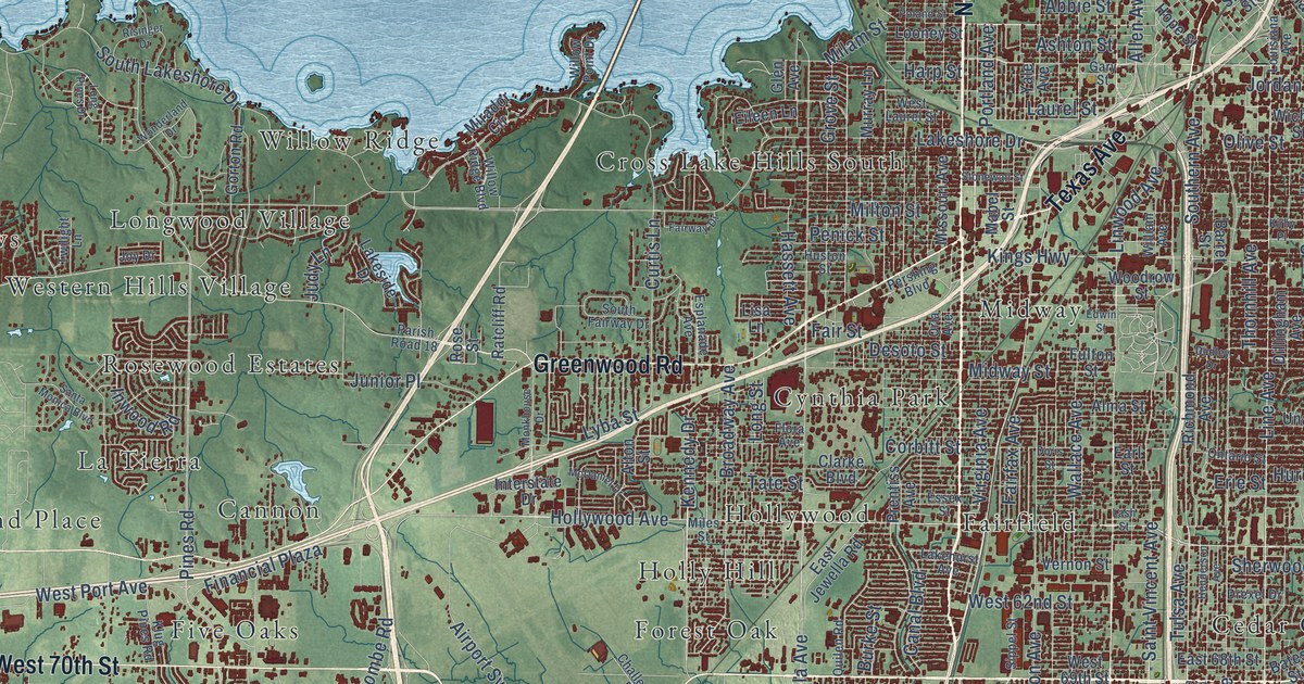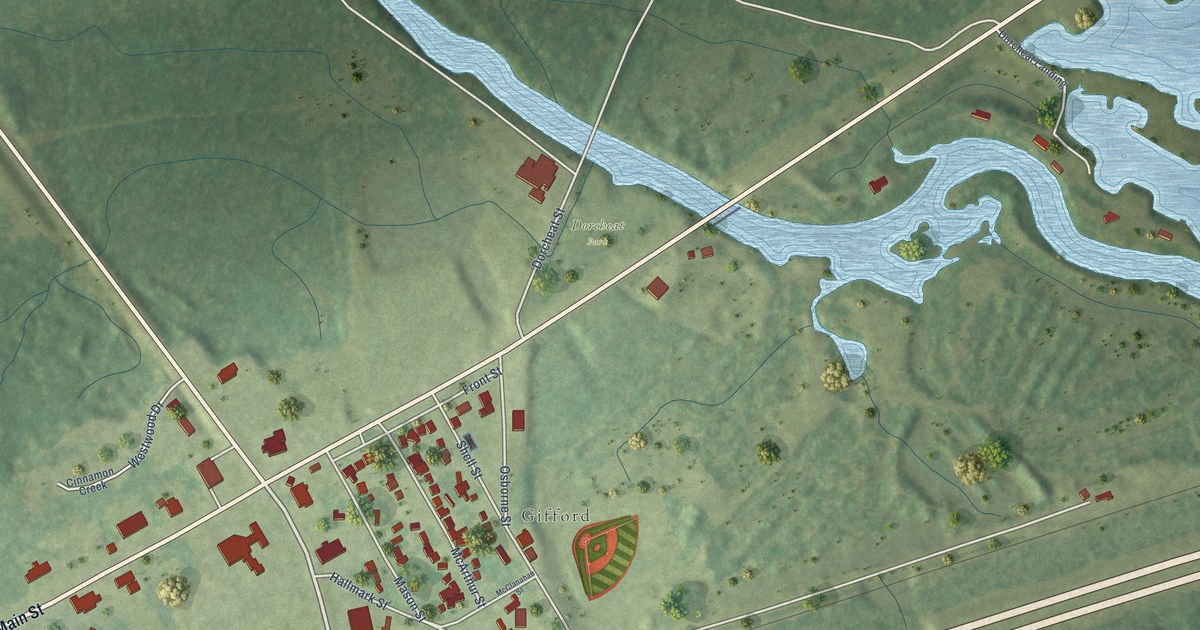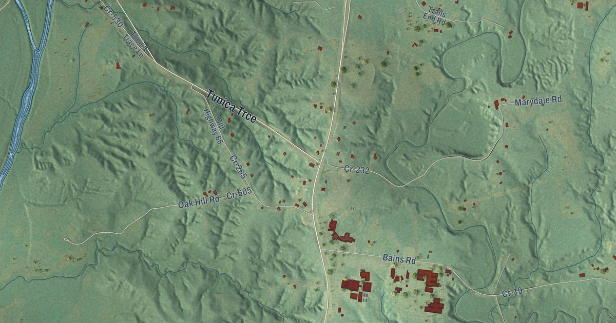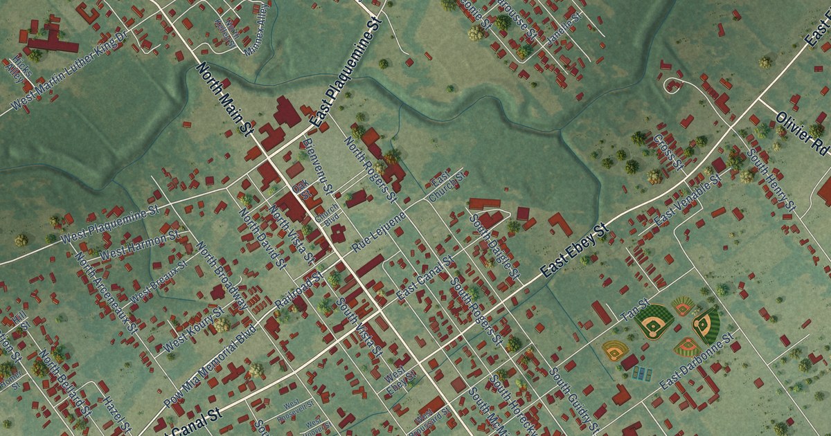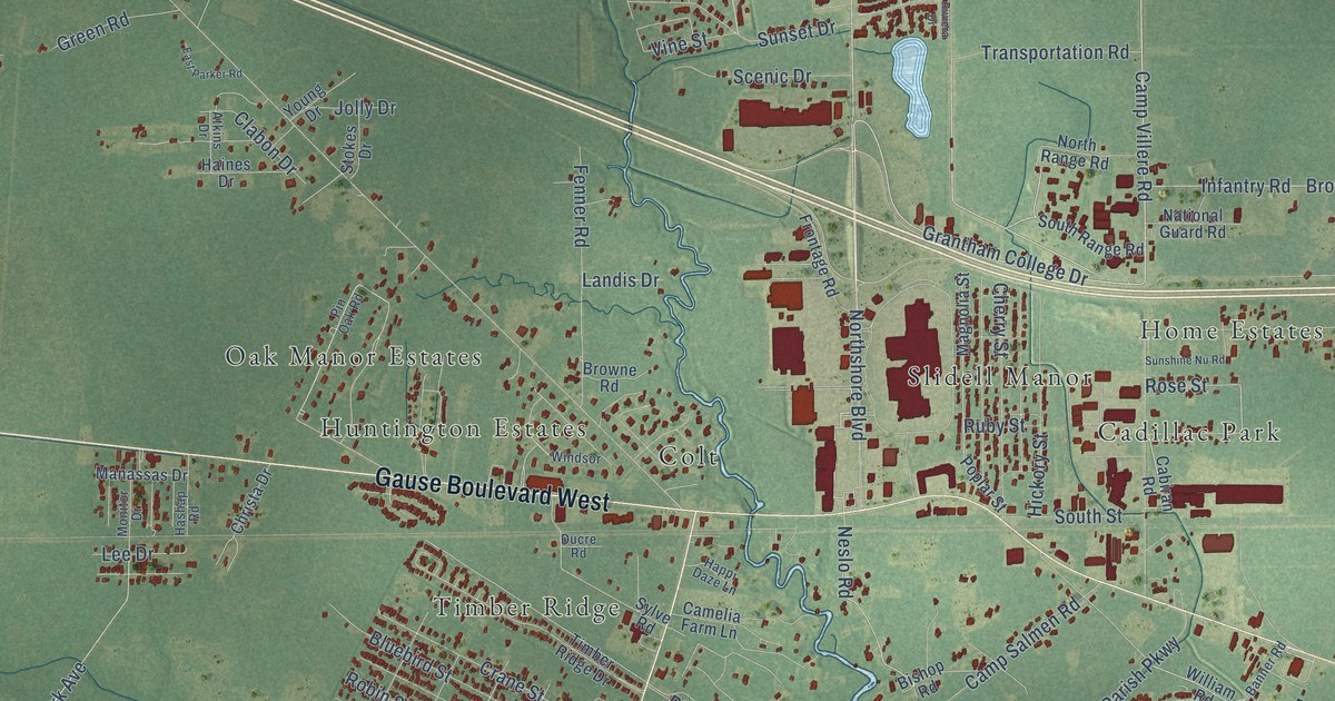
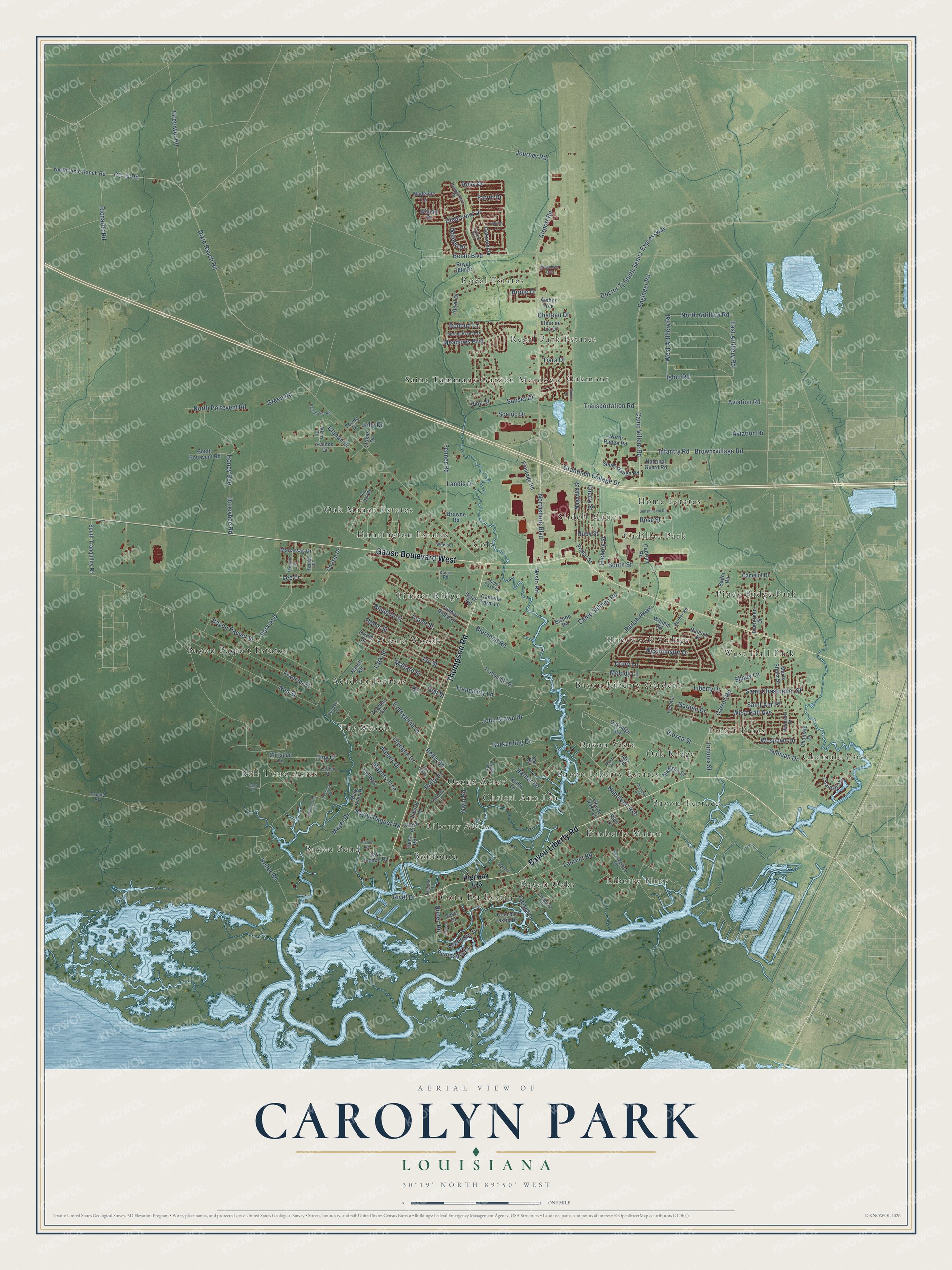
This beautifully detailed map of Carolyn Park, Louisiana was created in 2026 using aerial imagery combined with modern topographical, census, street and landmark data. It’s a one-of-a-kind view of Carolyn Park that combines accurate data with a vintage aesthetic. The map shows every building in its true location, many of the roads carry their names, and the shaded topographic relief shows the shape of the land.
Explore an aerial view of Carolyn Park, Louisiana
On the map you’ll find Timber Ridge, Royal Estates, Bayou Bend, Chamale Cove, Kimberly Manor, Slidell Manor, Bayou Paquet Estates, Bayou Liberty Gardens, Saint Tammany Garden Meadows, Ozone Acres, Piney Ridge Park, Bayou Oaks, and more. If you look closely you can even find your house accurately drawn in its correct location. Zoom in on the preview to look for yours.
Take a closer look at the Carolyn Park map
Names on this map
These names are printed on this map.
Places: Timber Ridge, Royal Estates, Bayou Bend, Chamale Cove, Kimberly Manor, Slidell Manor, Bayou Paquet Estates, Bayou Liberty Gardens, Saint Tammany Garden Meadows, Ozone Acres, Piney Ridge Park, Bayou Oaks, Acadian Estates, Home Estates, Bayou Vista, Oak Manor Estates, Colt, Bell Terre Acres, Forest Pines, Coin Du Lestin, West Hall Park, Christi Ann Lea, Oakmont, Ozone Woods, Huntwyck Village, Bayou Terrace, Liberty Acres, The Woods, Oak Ridge, Liberty Pines, Cadillac Park, Regal Park Estates, Bayou Liberty Estates, Bonfouca and Huntington Estates.
Streets and roads: Gause Boulevard West, Bayou Liberty Road, Thompson Road, Journey Road, Airport Road, Grantham College Drive, Doctor Tj Smith Senior Expressway, Engineer Road, Neslo Road, Dixie Ranch Road, Laurent Road, Bayou Paquet Road.
More street names, A to Z
Abs Road, Acadian Circle, Alisa Drive, Amber Trce, Athene Drive, Atkins Drive, Aviation Drive, Aviation Road, Badon Road, Banner Road, Barkerding Drive, Bayou Paquet Street, Bea Drive, Belair Boulevard, Bierhorst Road, Birdie Drive, Bishop Road, Bluebird Street, Bond Drive, Browne Road, Brownsvillage Road, Cabiran Road, Camelia Farm Lane, Camelot Drive, Camp Salmen Road, Camp Villere Road, Carroll Road, CC 14 Road, Chamale Cv, Chamale Drive, Chateau Drive, Cherry Street, Christa Drive, Christian Lane, Churchill Road, Clabon Drive, Claiborne Street, Clearpoint Drive, Coin du Lestin Drive, Cousin Road, Crane Street, Dave Pichon Road, Davis Drive, Drury Lane, Ducre Road, East Artillery Road, East Avenue, East Parker Road, Evangeline Drive, Evergreen Drive, Faciane Lane, Faciane Road, Farrel Drive, Fay Way, Fenner Road, Firetower Road, Fleur de Lis Drive, Frances Street, Frontage Road, Galatas Lane, Garden Drive, Golden Drive, Greenbrier Ests, Green Road, Gwin Road, Haines Drive, Happi Daze Lane, Harbor Road, Hashap Road, Headwaters Drive, Hermadel Drive, Heshima Road, Hickory Street, Highway 433, Holly Drive, Honey Bee, Honeybee Road, Hunters Point, Igloo Road, Infantry Road, Iriquois Street, Jay Street, John Brown Drive, Jolly Drive, Jummonville Road, Keller Road, Landis Drive, Lark Street, Lee Drive, Lefleur Drive, Legendre Drive, Liberty Drive, Liberty Lane, Liberty Oaks Lane, Live Oak Lane, Loblolly Lane, Madeline Lane, Madison Street, Magnolia Street, Mallard Street, Manassas Drive, Maris Stella Street, Mary Ellen Drive, Mayer Drive, Mayers Trce, Meadows Boulevard, Melody Lane, Monitor Drive, Napoleon Avenue, National Guard Road, Ned Street, North Artillery Road, North Dixie Ranch Road, North Poitevent Road, North Range Road, Northshore Boulevard, Nunez Road, Oakpoint Drive, Oakridge Avenue, Olympia Drive, Oriole Street, Paquet Road, Parish Parkway, Park Avenue, Pena Road, Peninsula Drive, Pichon Road, Pine Lane, Pin Oak Road, Poplar Street, Poupee Lane, Raleigh Drive, Ranch Road, Redbud Lane, Reilly Lane, Reilly Road, Richards Road, Rivet Drive, Riviera Drive, Robert Street, Robin Street, Rose Street, Royal 18th Drive, Royal Drive, Ruby Street, Rue Len Vir, Saint Ann Place, Saint Christopher Street, Scenic Drive, Shackelford Road, Shady Lane, South Poitevent Road, South Range Road, South Street, South Tranquility Road, Spring Branch Drive, Stokes Drive, Sue Road, Sullivan Drive, Sunset Drive, Sunshine Nu Road, Swan Street, Sylve Road, Teal Street, Tiara Drive, Timber Ridge Drive, Tiny Court, Tranquility Drive, Tranquility Lane, Transportation Road, Vine Street, Viosca Street, Wesley Lane, West Artillery Road, West Hall Avenue, Westlawn Drive, Westminster Drive, William Drive, William Road, Windsor, Young Drive.
See it on a wall
The Carolyn Park map as a framed print. Swipe for more.


This beautifully detailed map of Carolyn Park makes an attractive addition to your office, library, or den, and it can even be used to teach children the geography and history of the area. It also makes a great gift for anyone who grew up in Carolyn Park or moved away. When you’re done exploring, click here to get your copy of the Carolyn Park map.