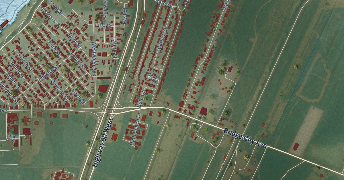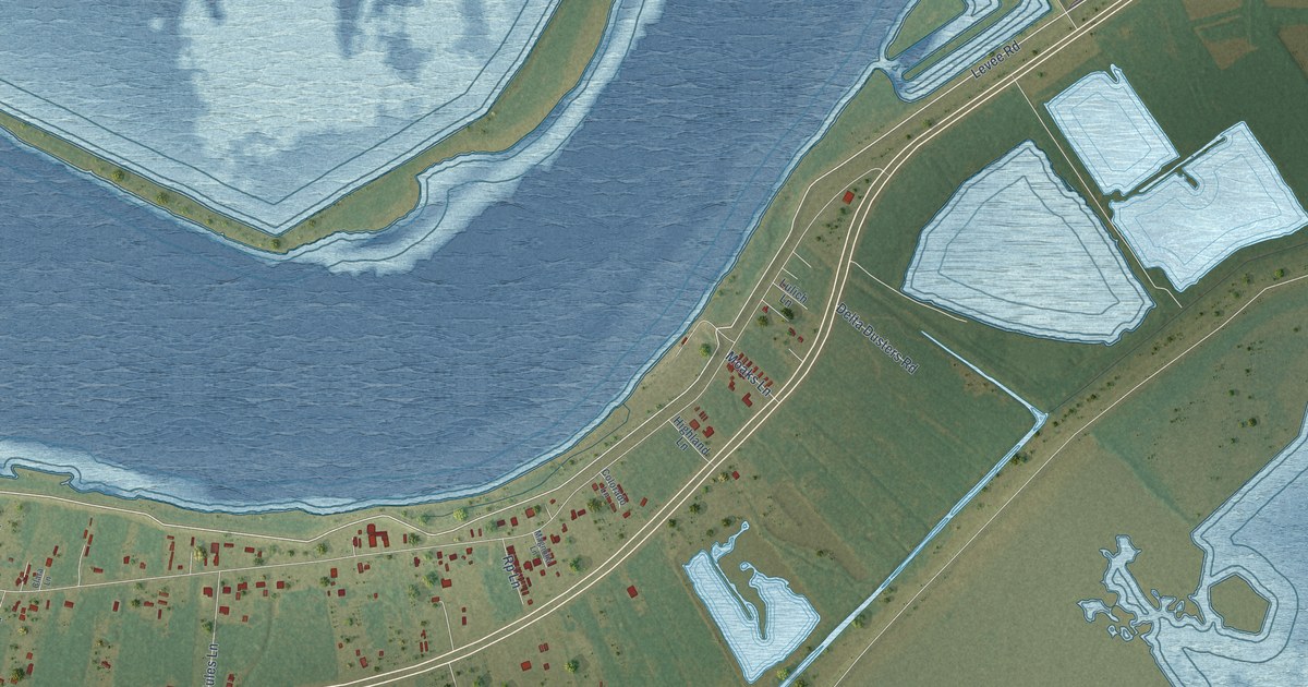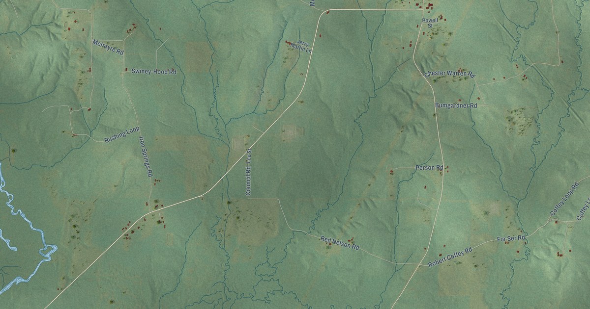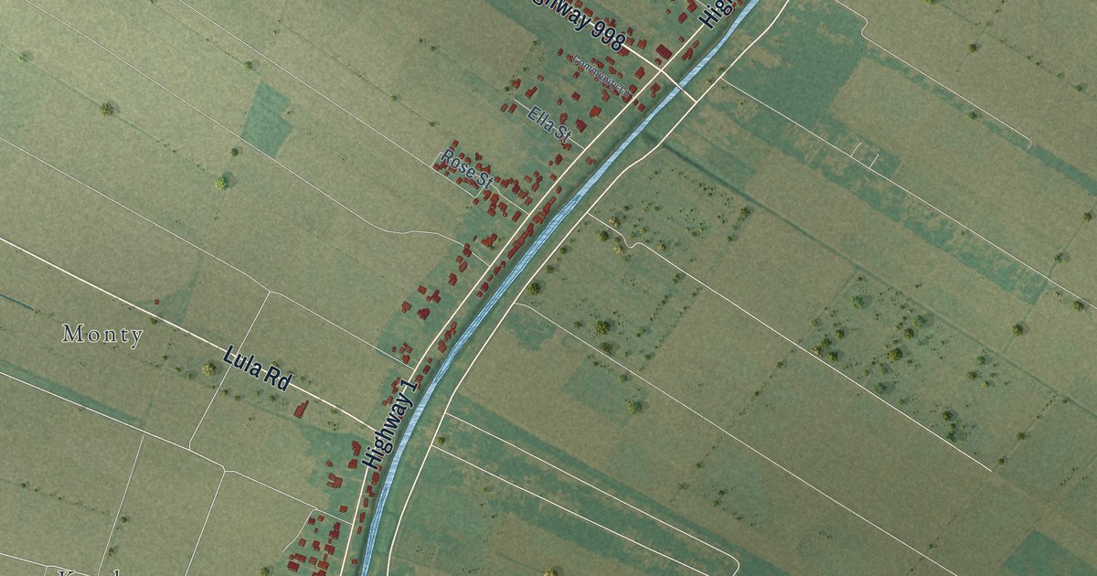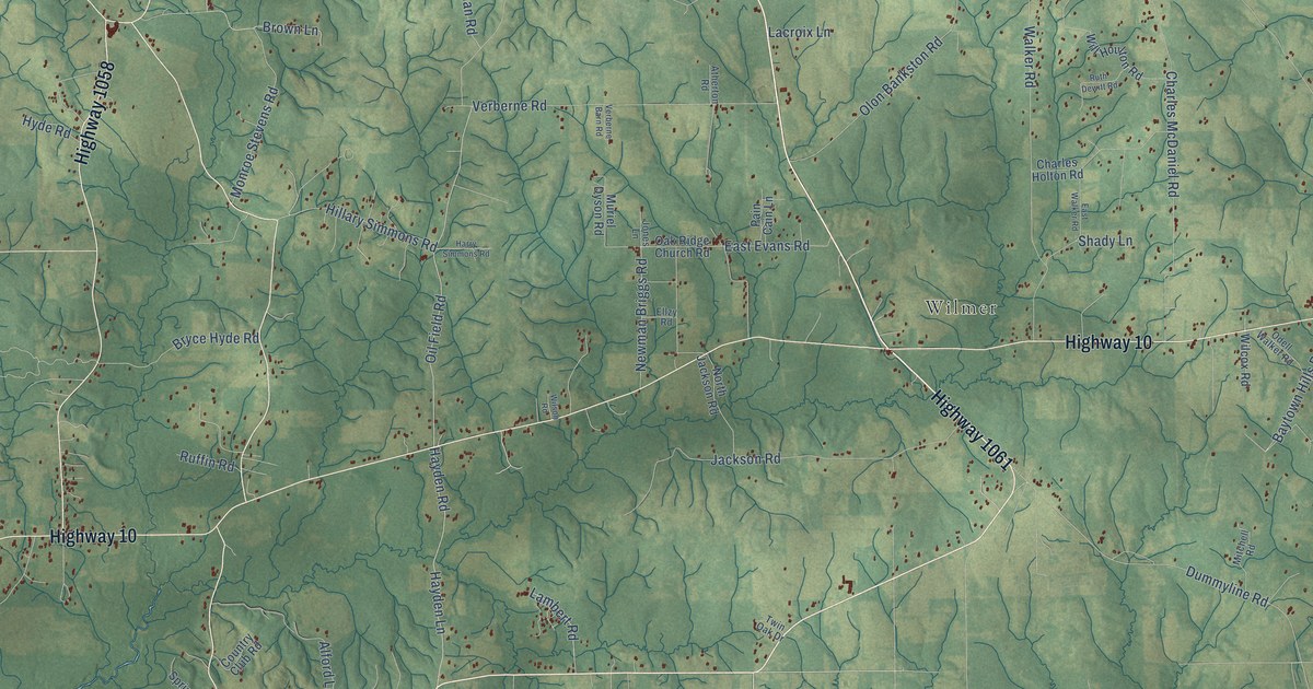
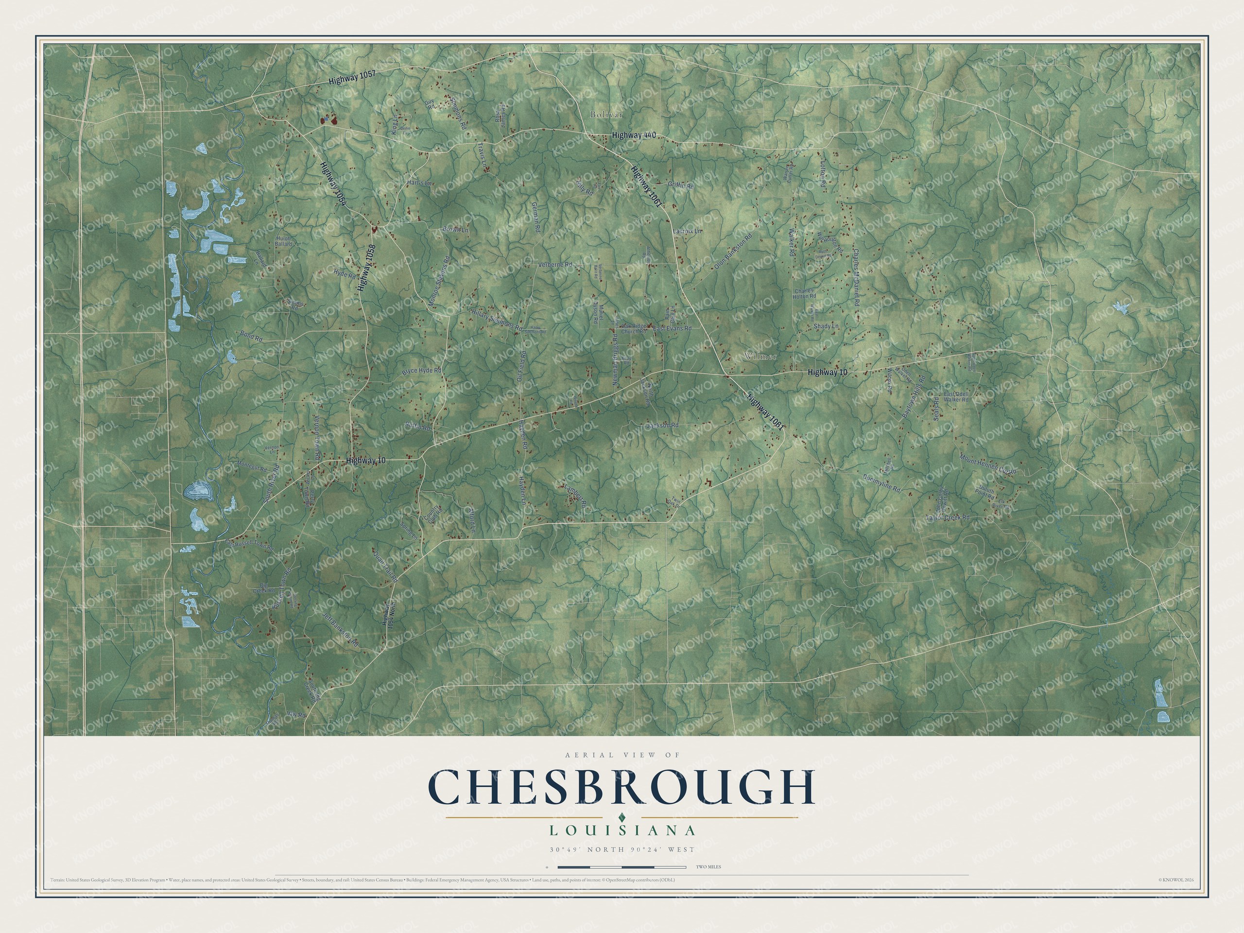
This beautifully detailed map of Chesbrough, Louisiana was created in 2026 using aerial imagery combined with modern topographical, census, street and landmark data. It’s a one-of-a-kind view of Chesbrough that combines accurate data with a vintage aesthetic. The map shows every building in its true location, many of the roads carry their names, and the shaded topographic relief shows the shape of the land.
Explore an aerial view of Chesbrough, Louisiana
On the map you’ll find Wilmer and Bolivar, along with Highway 1061, Highway 10, Highway 1054, Highway 440, Highway 1058, Highway 1057, Oil Field Road, South River Road, Charles McDaniel Road, Russell Town Road, and more. If you look closely you can even find your house accurately drawn in its correct location. Zoom in on the preview to look for yours.
Take a closer look at the Chesbrough map
Names on this map
These names are printed on this map.
Places: Wilmer and Bolivar.
Streets and roads: Highway 1061, Highway 10, Highway 1054, Highway 440, Highway 1058, Highway 1057, Oil Field Road, South River Road, Charles McDaniel Road, Russell Town Road, Walker Road, Olon Bankston Road.
More street names, A to Z
Alford Lane, Atherton Road, Ballard Lane, Baytown Hills Road, Big Creek Road, Bond Road, Brown Lane, Bryce Hyde Road, Charles Holton Road, Country Club Road, Devin Lane, Duluth Point Road, Dummyline Road, East Evans Road, East Odell Walker Road, East Russell Town Road, East Walker Road, Elk River Road, Ellzy Road, Fox Road, German Road, Griffin Road, Guy Road, Harry Simmons Road, Hart's Lane, Hayden Lane, Hayden Road, Highway 1054 North, Hillary Simmons Road, Hilly Road, Huloh Ballard, Hyde Road, Jackson Road, Jeff Bankston Road, John Colby Dewitt Road, Jones Lane, King Lane, Lacroix Lane, Lambert Road, Lofton Road, Mitchell Road, Monroe Stevens Road, Montegut Road, Mount Hennen Cut Road, Muriel Dyson Road, Newman Briggs Road, North Jackson Road, North Odell Walker Road, Oak Ridge Church Road, Odell Walker Road, Pain Cain Lane, Perry Town Road, Quail Trail Road, Rosa James Road, Ruffin Road, Ruth Dewitt Road, Seals Road, Shady Lane, Simmons Road, Simms Road, South Big Creek Road, Spring Lane, Sterling Smith Road, Taylor Creek Road, Thomas Road, Travis Lane, Twin Oak Drive, Verberne Barn Road, Verberne Road, Vernon Lane, Vernon Town Road, Vfw Road, Warren Cutrer Road, Wicker Lane, Wilcox Road, Will Houlton Road, Wilson Road.
See it on a wall
The Chesbrough map as a framed print. Swipe for more.


This beautifully detailed map of Chesbrough makes an attractive addition to your office, library, or den, and it can even be used to teach children the geography and history of the area. It also makes a great gift for someone who left Chesbrough and still calls it home. When you’re done exploring, click here to get your copy of the Chesbrough map.