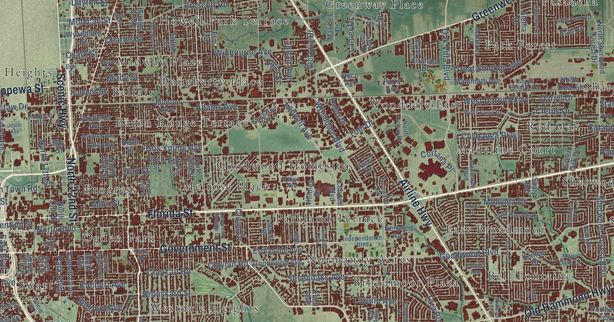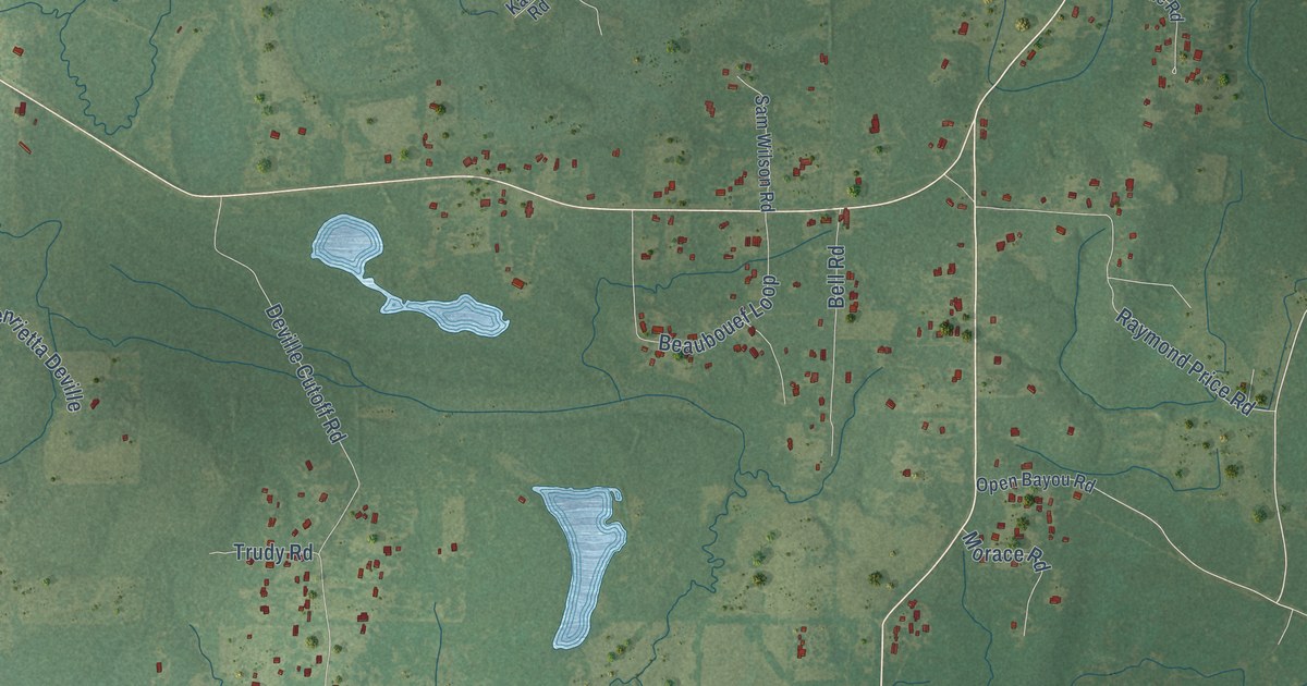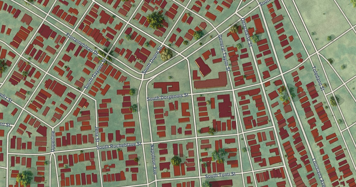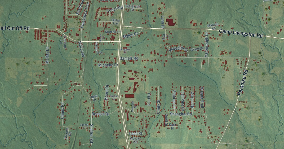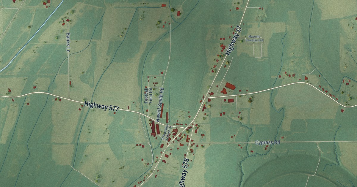
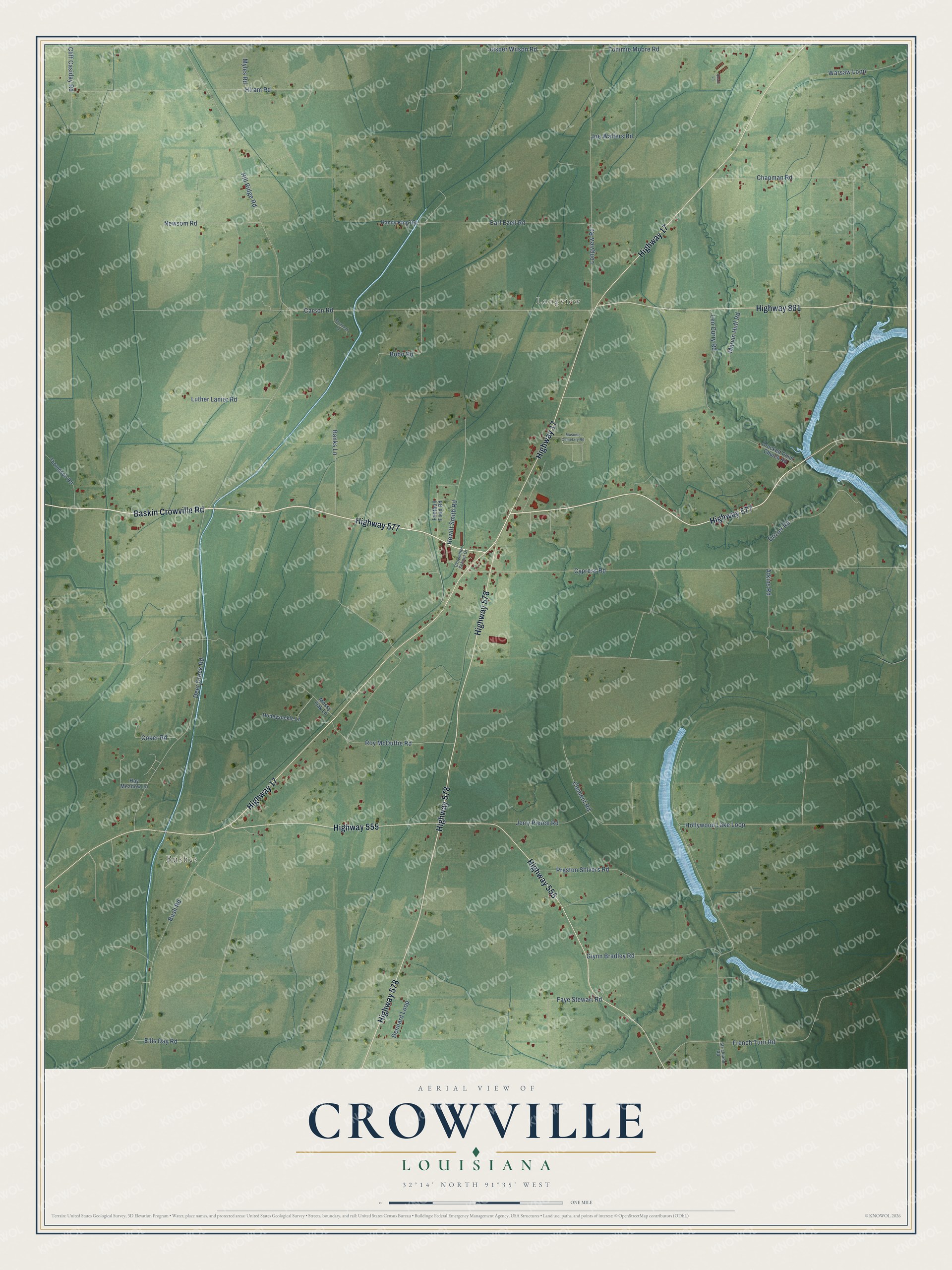
This beautifully detailed map of Crowville, Louisiana was created in 2026 using aerial imagery combined with modern topographical, census, street and landmark data. It’s a one-of-a-kind view of Crowville that combines accurate data with a vintage aesthetic. The map shows every building in its true location, many of the roads carry their names, and the shaded topographic relief shows the shape of the land.
Explore an aerial view of Crowville, Louisiana
On the map you’ll find Bushes and Longview, along with Highway 577, Baskin Crowville Road, Highway 17, Highway 555, Highway 578, Highway 861, French Turn Road, Hill Ridge Road, Hollywood Lake Loop, Carson Road, and more. If you look closely you can even find your house accurately drawn in its correct location. Zoom in on the preview to look for yours.
Did You Know?
Crowville was settled in 1825. It took its name from T. J. Crow, an early settler who kept a store. Around 1831 more families arrived from across Louisiana, nearby states and even the Northeast. Most of these early settlers made their living by farming.
Take a closer look at the Crowville map
Names on this map
These names are printed on this map.
Places: Bushes and Longview.
Streets and roads: Highway 577, Baskin Crowville Road, Highway 17, Highway 555, Highway 578, Highway 861, French Turn Road, Hill Ridge Road, Hollywood Lake Loop, Carson Road, Deer Creek Road, Cypress Road.
More street names, A to Z
Atkins Road, Banks Lane, Bobo Road, Bush Road, Chapman Road, Clement Road, Cliff Casiday Road, Coker Road, Crockett Point Church Road, Crowville School Drive, Dennard Loop, Dozier Road, Earl Ezell Road, Ellis Day Road, Faye Stewart Road, Football Field Road, Glynn Bradley Road, Handy King Road, Hay Meadow Lane, Hewitt Smith Road, Hiram Road, Honeysuckle Lane, Jasper Wilson Road, Jerry Pierce Road, Joe Walters Road, Leo Curry Road, Longview Road, Luther Lanier Road, Marvin Huff Road, Masonic Cemetary Road, Mossy Oak Lane, Myles Road, Newsom Road, Preston Shivers Road, Quail Lane, Roy McDuffie Road, Savannah Lane, Strickland Road, Thompson Road, Tommie Moore Road, Warsaw Loop.
See it on a wall
The Crowville map as a framed print. Swipe for more.


This beautifully detailed map of Crowville makes an attractive addition to your office, library, or den, and it can even be used to teach children the geography and history of the area. It also makes a great gift for anyone who grew up in Crowville or moved away. When you’re done exploring, click here to get your copy of the Crowville map.