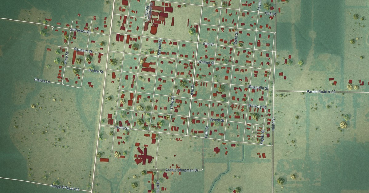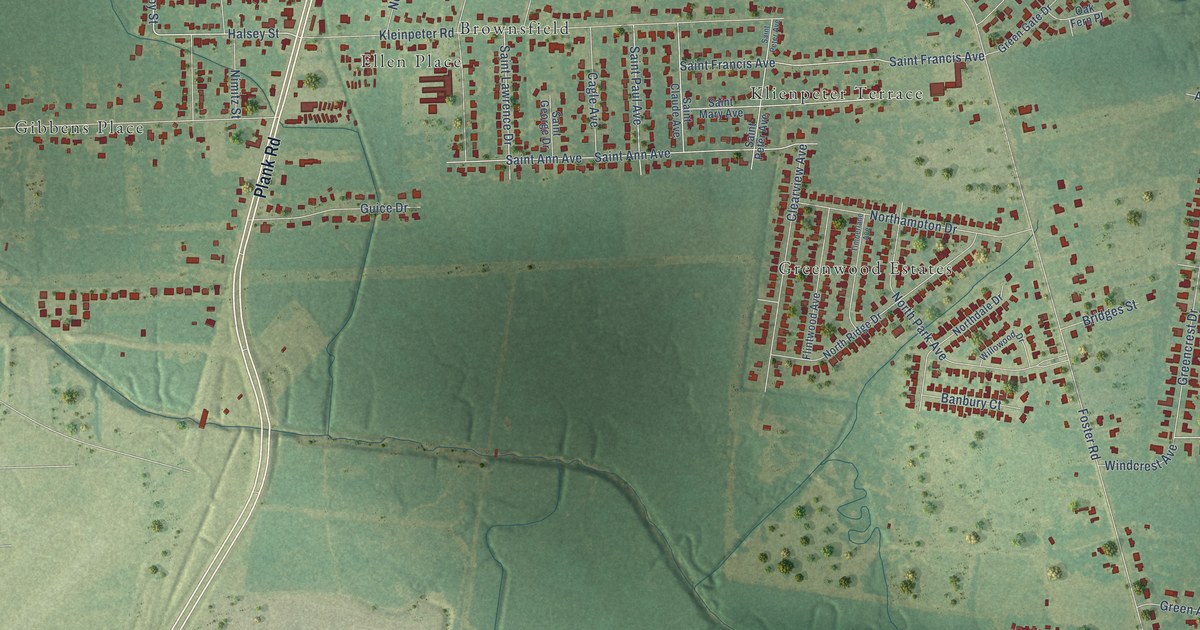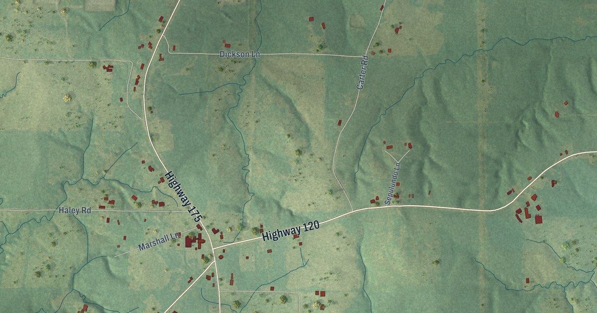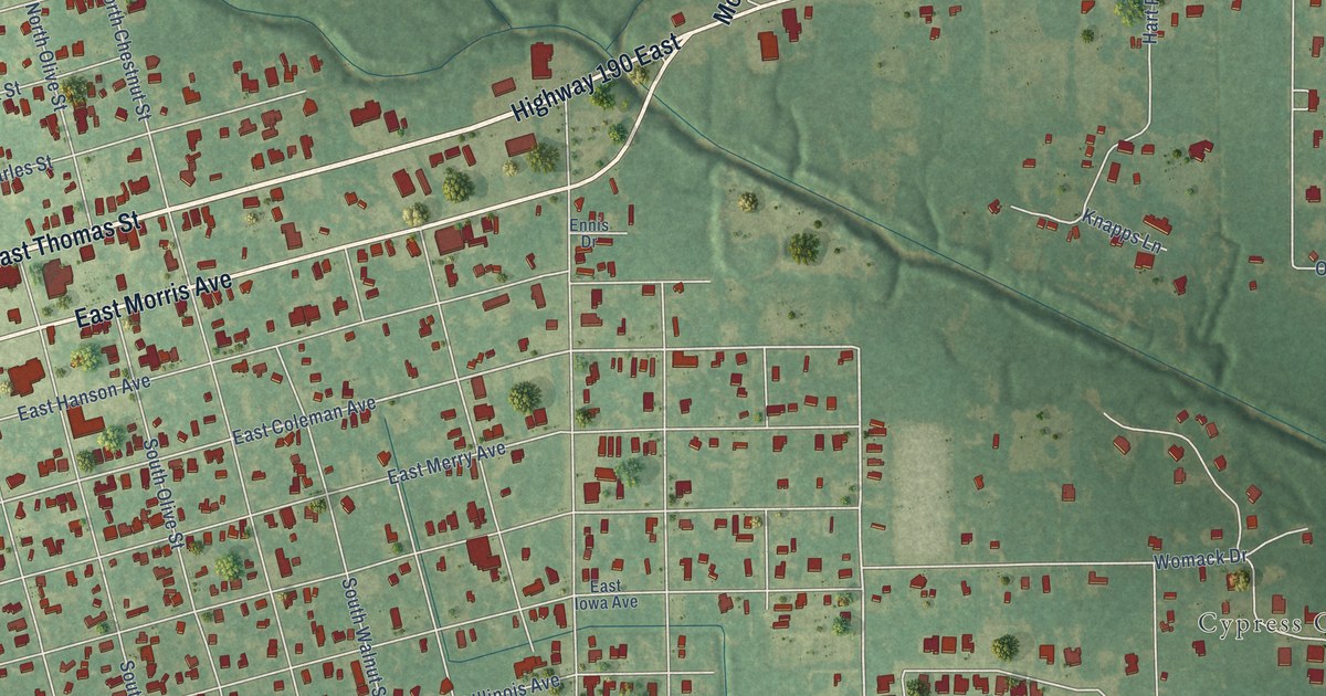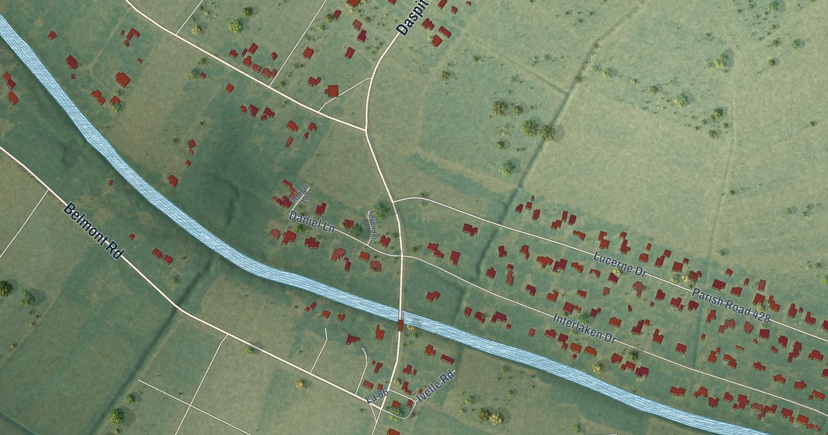
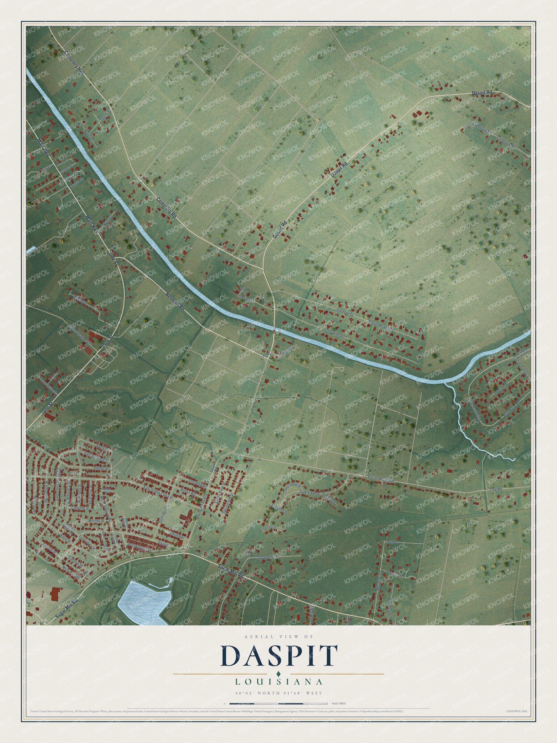
This beautifully detailed map of Daspit, Louisiana was created in 2026 using aerial imagery combined with modern topographical, census, street and landmark data. It’s a one-of-a-kind view of Daspit that combines accurate data with a vintage aesthetic. The map shows every building in its true location, many of the roads carry their names, and the shaded topographic relief shows the shape of the land.
Explore an aerial view of Daspit, Louisiana
On the map you’ll find Parish Road 604, along with Cemetery Road, Jane Street, Daspit Road, Sugar Mill Road, Belmont Road, Cemetery Highway, Main Highway, Santa Inez Street, Exey Drive, Daniel Lane, and more. If you look closely you can even find your house accurately drawn in its correct location. Zoom in on the preview to look for yours.
Did You Know?
From Internet Archive: "Henry Daspit spent his youth in his native parish, attended private school until he was 15 years old."
Daspit is a community in Iberia Parish.
Take a closer look at the Daspit map
Names on this map
These names are printed on this map.
Streets and roads: Cemetery Road, Jane Street, Daspit Road, Sugar Mill Road, Belmont Road, Cemetery Highway, Main Highway, Daspit, Parish Road 604, Santa Inez Street, Exey Drive, Daniel Lane.
More street names, A to Z
100 Street, Ada Drive, Adeline Drive, Alameda Street, Apricot Street, Bayou Bend Road, Blue Haven Drive, Brookhaven Drive, Buena Vista Drive, Bull Tiger Lane, Caliente Street, Christopher, Colleen Street, Comeaux Road, Comeaux Street, Crest View Street, Dartez Drive, Deer Run, East Saltilla Street, East Santa Clara Street, East Tampico Street, Fremont Street, Friend Street, Greenbriar Street, Guadalajara Street, Guadalupe Street, Guy Drive, Harris Lane, Hugh Drive, Indigo Lane, Interlaken Drive, Ivelle Road, Jacob Street, Jacqueline Drive, Juarez Street, La 86, Lavender Lane, Lucerne Drive, Macho Grande Street, McDonald Street, Michelle Lane, Oakcrest Drive, Oak Hill Road, Oak View Drive, Parish Road 148, Parish Road 428, Parish Road 429, Parish Road 606, Parish Road 613, Patout, Patout Road, Po Street, Pr Drive, Puebla Street, Russo Road, Samantha Street, San Jacinto Circle, San Jose Street, Santa Ines Street, Santiago Drive, Springfield Street, Tartan Street, Texaco Street, Treehaven Drive, Troy Road, Valley View Street, Vera Cruz Street, West Saltilla Street, West Tampico Street, Wilree Drive, Worthy Street, Yupon Circle.
See it on a wall
The Daspit map as a framed print. Swipe for more.


This beautifully detailed map of Daspit makes an attractive addition to your office, library, or den, and it can even be used to teach children the geography and history of the area. It also makes a great gift for anyone with Daspit roots. When you’re done exploring, click here to get your copy of the Daspit map.