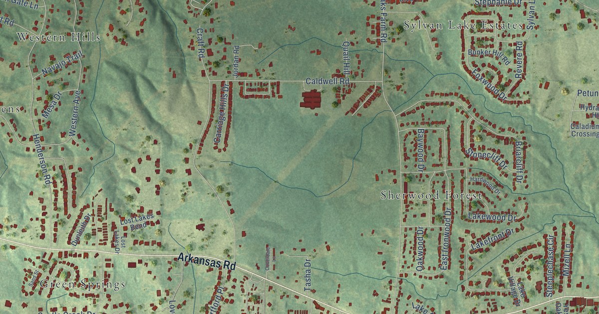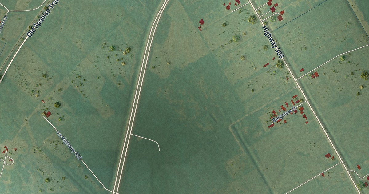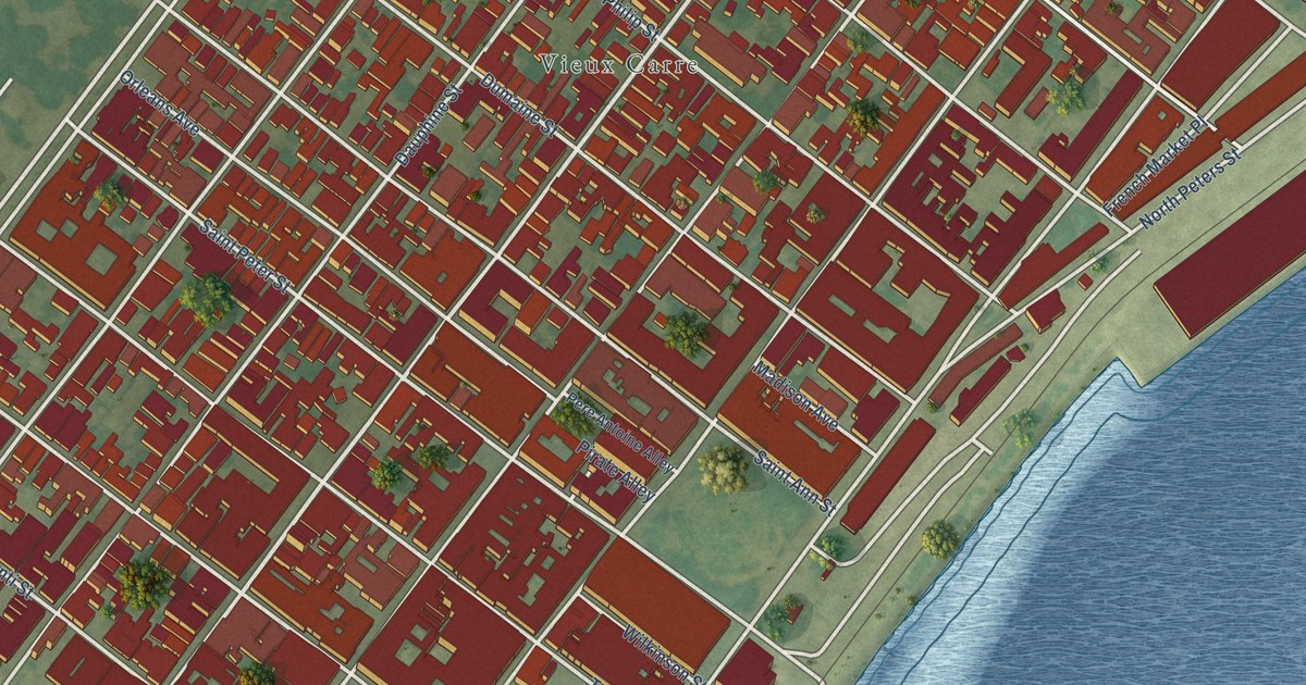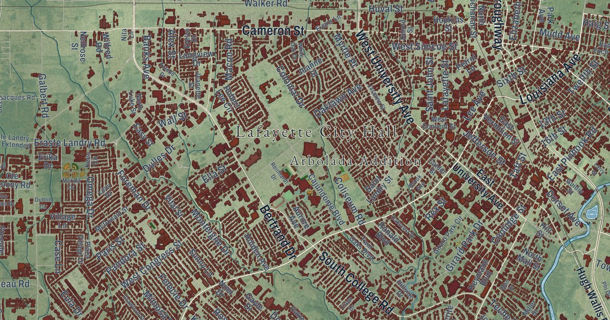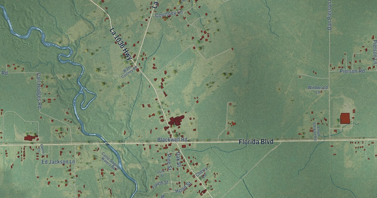
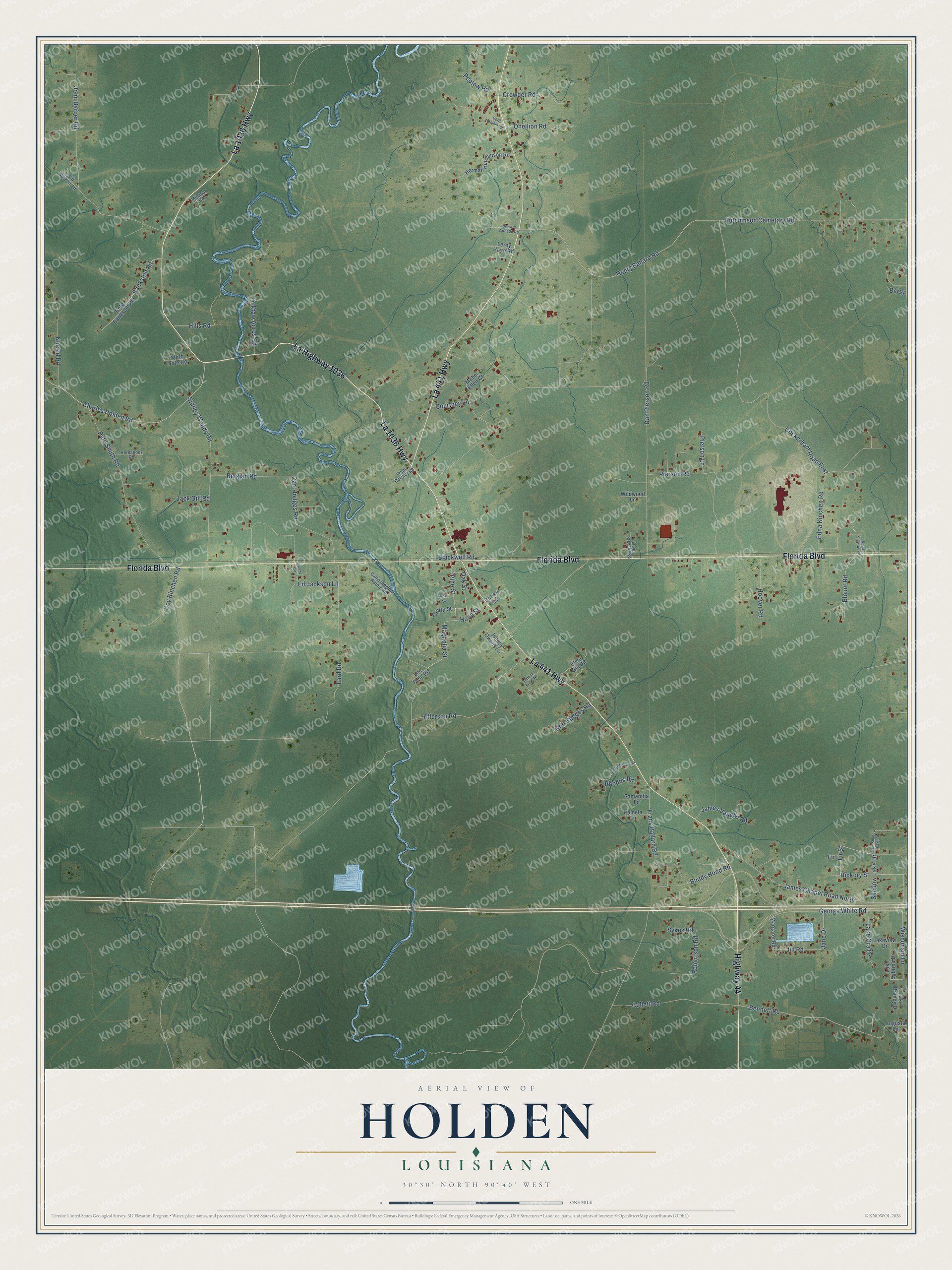
This beautifully detailed map of Holden, Louisiana was created in 2026 using aerial imagery combined with modern topographical, census, street and landmark data. It’s a one-of-a-kind view of Holden that combines accurate data with a vintage aesthetic. The map shows every building in its true location, many of the roads carry their names, and the shaded topographic relief shows the shape of the land.
Explore an aerial view of Holden, Louisiana
On the map you’ll find Highway 44, La Highway 1036, La 1036 Highway, La 441 Highway, Florida Boulevard, Pine Street, Magnolia Street, Fir Street, Hickory Street, Bennett Road, Henry Ballard Road, Jill Road, and more. If you look closely you can even find your house accurately drawn in its correct location. Zoom in on the preview to look for yours.
Did You Know?
Holden was first called Cooper’s Spur. Around 1909, Jim McCarroll built a sawmill, and Sinclair Cooper laid a rail spur to it. Some residents disliked the name because Cooper was not a local man. After the Coopers moved away, people renamed the town for early settler James Mahlon Holden.
Holden is a community in Livingston Parish.
Take a closer look at the Holden map
Names on this map
These names are printed on this map.
Streets and roads: Highway 44, La Highway 1036, La 1036 Highway, La 441 Highway, Florida Boulevard, Pine Street, Magnolia Street, Fir Street, Hickory Street, Bennett Road, Henry Ballard Road, Jill Road.
More street names, A to Z
Augusta Lane, Bankston Road, Belgian Road, Betsy, Blackwell Road, Blount Road, Buddy Hood Road, Camp Singing Waters Road, Carl Hodges Road, Charles Holden Road, Cherry Lane, Cockerham Road East, Collett Road, Courtney Lane, Coy Kinchen Road, Crowder Road, Dan Pierson Road, Doris Hutchinson, East Shadow Lake Drive, Ed Jackson Lane, Edna Kinchen Road, Efferson Road, Elise Gill Road, Fir, Fourth Street, Frank Ballard Road, George White Road, Herman Hutchinson Road, Hernandez Road, Hills Road, Hob Hodges Road, Hood Street, Hoover Road, Howard Varnado Road, Hutchinson Cemetary Road, Jack Gill Road, Jack Rhodus Road, James Chapel Road North, James Vaughn Road, Jane Drive, John Barber Road, Johnny Owens Lane, Lake Brandy Drive, Lake Ora Drive, Lake Sabrina Drive, Lakeview Drive, Lard Road, Lee Field Road, Leroy Hano Road, Lloyd Stewart Road, Mabel Ellen Court, Margaret Road, Mitchell Road, Norred Road, North Pate Road, Oak Street, Onellion Road, Owens Circle, Pamela Lane, Peplow Road, Pete Bankston Road, Pete Smith Road, Pierson Lane, Pierson Road, Reed Stewart Road, Rhodus Road, Robertson Road, Samantha Lane, Shadow Lake Drive, Sidney Woods Road, Softball Field Road, Sykes Road, Third Street, Tickfaw Acres Road, Wade Cortney Road, Wildwood Lane, Will Wascom Lane, Wisconsin Lane.
See it on a wall
The Holden map as a framed print. Swipe for more.


This beautifully detailed map of Holden makes an attractive addition to your office, library, or den, and it can even be used to teach children the geography and history of the area. It also makes a great gift for someone who left Holden and still calls it home. When you’re done exploring, click here to get your copy of the Holden map.