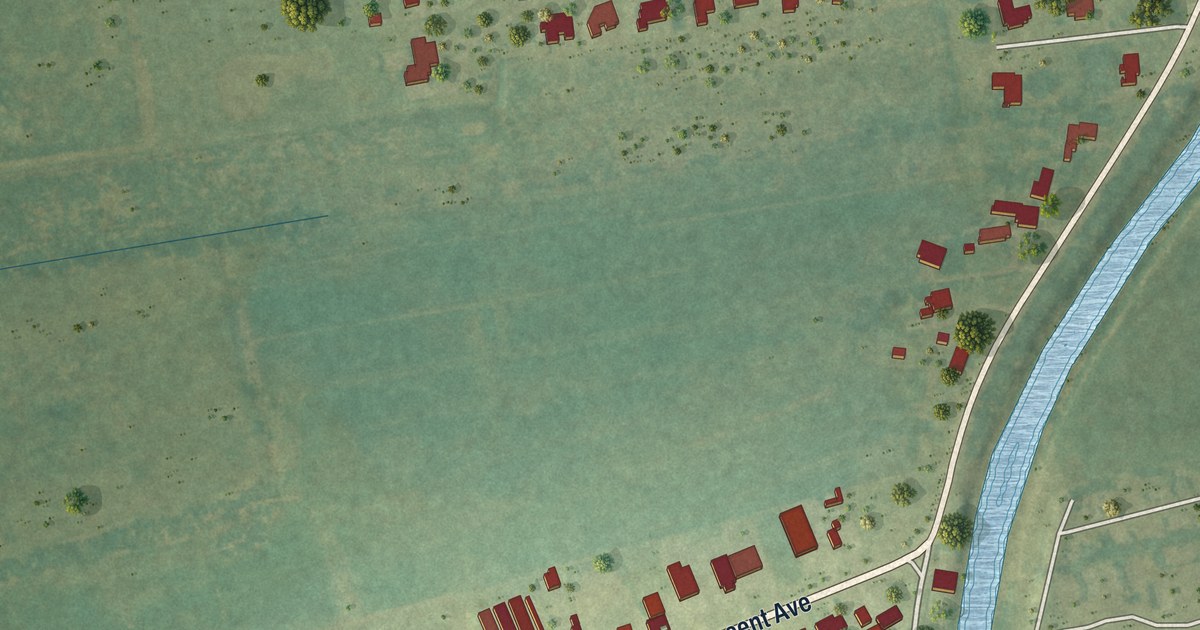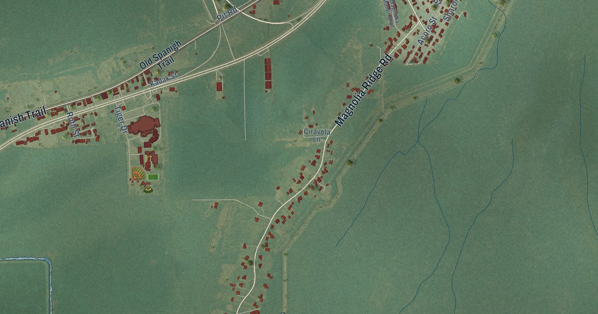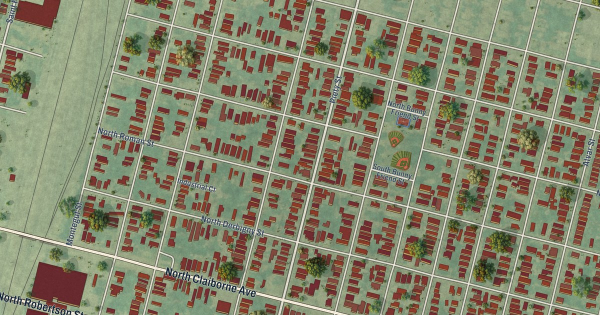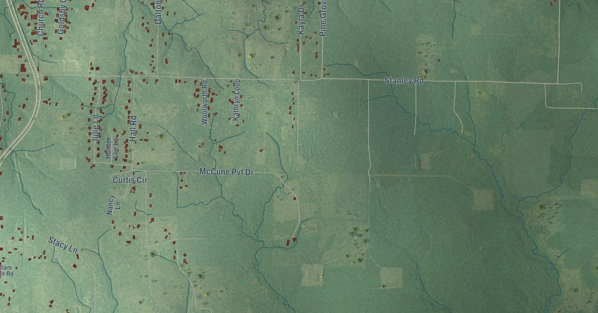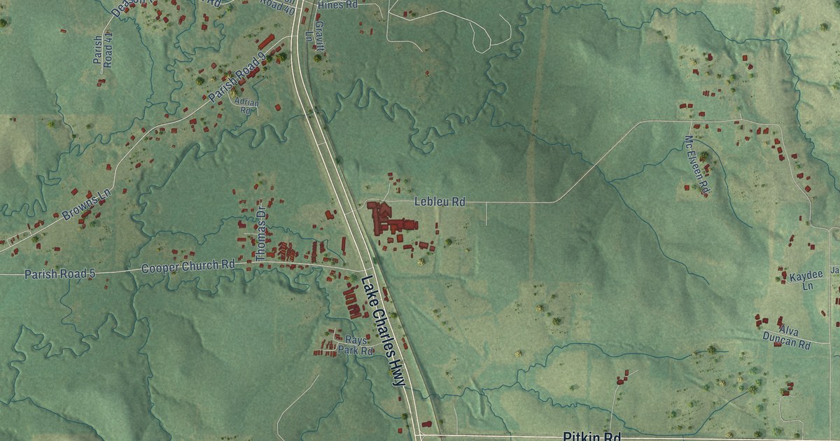
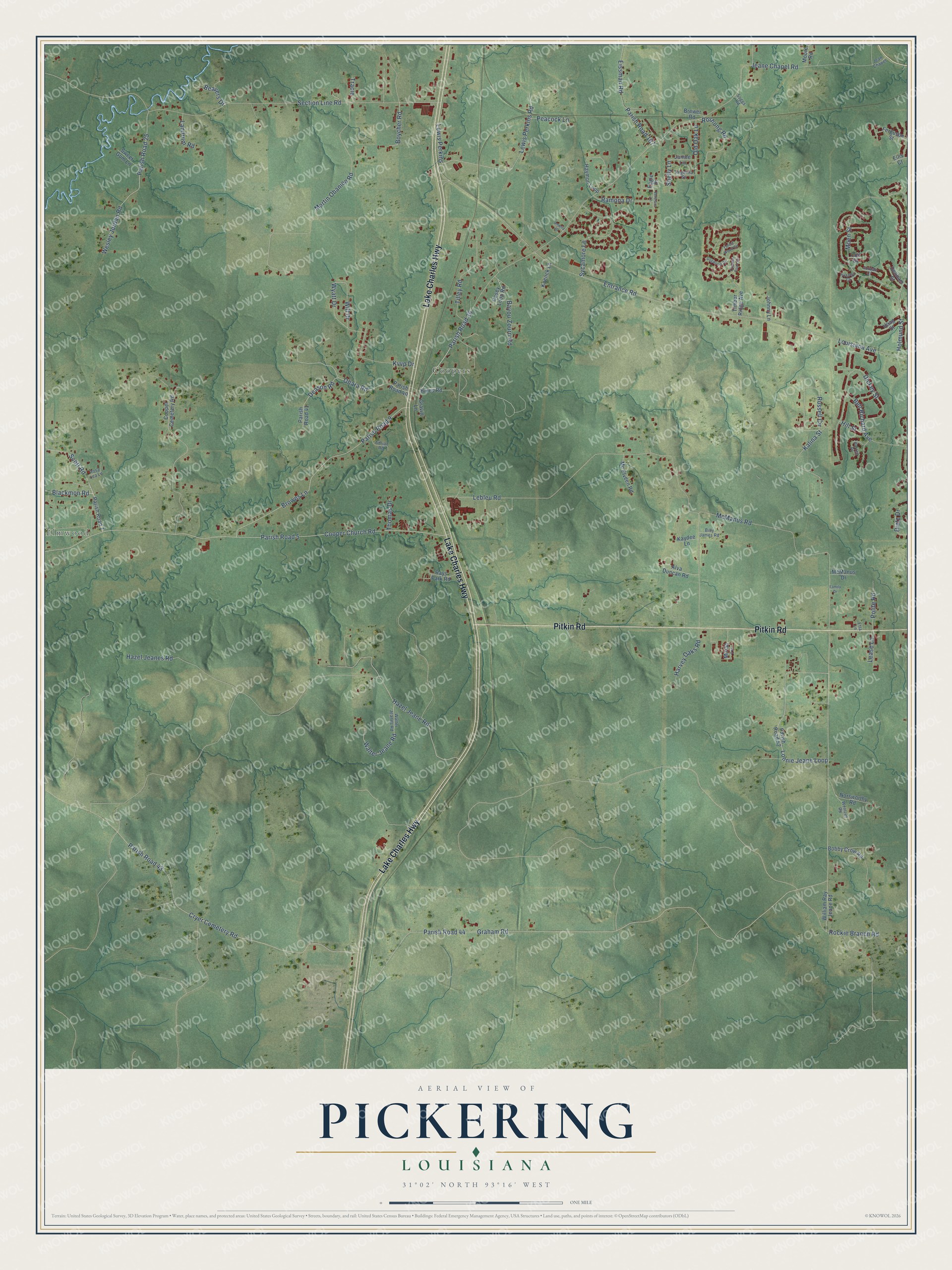
This beautifully detailed map of Pickering, Louisiana was created in 2026 using aerial imagery combined with modern topographical, census, street and landmark data. It’s a one-of-a-kind view of Pickering that combines accurate data with a vintage aesthetic. The map shows every building in its true location, many of the roads carry their names, and the shaded topographic relief shows the shape of the land.
Explore an aerial view of Pickering, Louisiana
On the map you’ll find Elmwood, Coopers, and Parish Road 36, along with Lake Charles Highway, Pitkin Road, Blackmon Road, Scott Road, Graham Road, Lonnie Jeane Loop, Lewis Perkins Road, Kalina Street, Jeane Chapel Road, and more. If you look closely you can even find your house accurately drawn in its correct location. Zoom in on the preview to look for yours.
Did You Know?
From Internet Archive: "LOUISIANA 207 discretion and built a hexagonal stockade, over which he hoisted the Stars and Stripes on Oct 22, 1797, and left a garrison here when he went down the river in November., He named it Fort Adams, but when that name was shortly after applied to the post at Loftus Heights (q. v.), Onion's stockade was rechristened Fort Pickering."
Pickering is a community in Vernon Parish.
Take a closer look at the Pickering map
Names on this map
These names are printed on this map.
Places: Elmwood and Coopers.
Streets and roads: Lake Charles Highway, Pitkin Road, Blackmon Road, Parish Road 36, Scott Road, Graham Road, Lonnie Jeane Loop, Lewis Perkins Road, Kalina Street, Jeane Chapel Road, Parish Road 44, Lebleu Road.
More street names, A to Z
Adrian Road, Alva Duncan Road, Amelia Drive, Angelina Street, Bayou Zourri Road, Beavers Drive, Bell Richard Avenue, Billy James Road, Bobby Crow Road, Boycher Road, Brewer Road, Browns Lane, Casey Loop Road, Coit Street, Cooper Cemetery Road, Cooper Church Road, Cryer Cemetery Road, Cypress Point Circle, Deason Road, Denham Street, Dickey Street, Dietz Drive, Dogwood Circle, Eagle Drive, Eissman Road, Ellis Court, Entrance Road, Etta Lane, Family Drive, Ferguson Street, Forest Wood Circle, Gravitt Lane, Haag Street, Harrell Place, Harvey Oaks Road, Haymon Loop, Hazel Jeane Road, Hazel Jeanes Road, Hill Street, Hines Road, Holmund Street, Janice Lane, Jean Chapel, Johnny Lane, Jordan Court, Kaydee Lane, Koenck Lane, Kvvp Drive, Landrum Road, Lease Lane, Lewis Perkins, Louisiana Avenue, Martin Obanion Road, Mc Elveen Road, McManus Drive, McManus Road, Miriah Lane, Moen Street, Moore Road, Norsworthy Road, Ohara Road, Old Oak Lane, Parish Road 5, Parish Road 7, Parish Road 9, Parish Road 25, Parish Road 40, Parish Road 41, Parish Road 43, Parish Road 52, Parish Road 167, Peacock Lane, Polite Road, Ramona Drive, Rays Park Road, Rockie Branch Road, Rosa Lea Lane, Roshong Road, Russell Circle, Section Line Road, Shelly Lane, Soggs Road, Sweet Gum Lane, Sycamore Lane, Thomas Drive, Tilley Road, Timber Ridge Avenue, Tracey Court, Tracie, Veterans Lane, Walter Jeane Road, Walter Jeanes Road, Wentzel Road, Wesley Jordan Road, Will Drive, William Ray Jeane Road, Wyatt Drive.
See it on a wall
The Pickering map as a framed print. Swipe for more.


This beautifully detailed map of Pickering makes an attractive addition to your office, library, or den, and it can even be used to teach children the geography and history of the area. It also makes a great gift for anyone with Pickering roots. When you’re done exploring, click here to get your copy of the Pickering map.