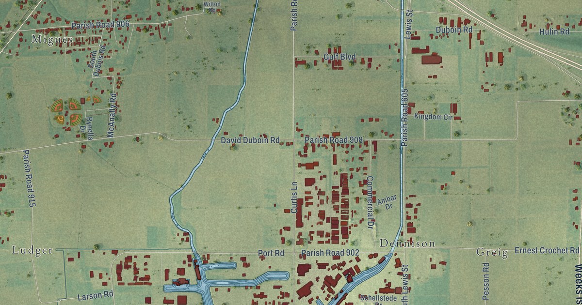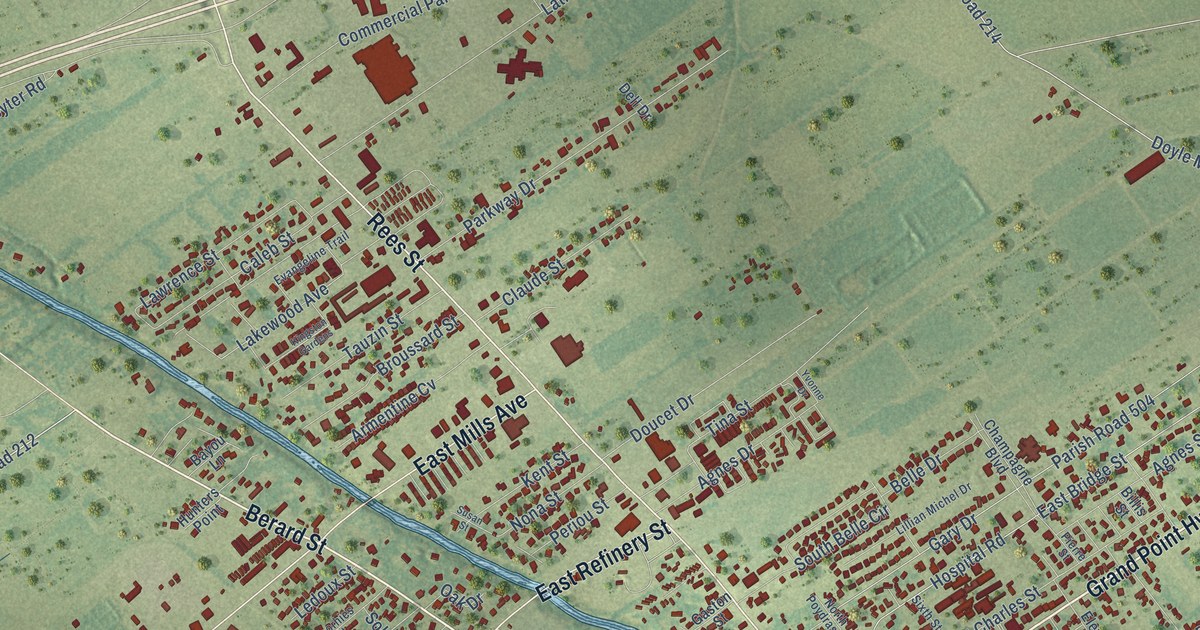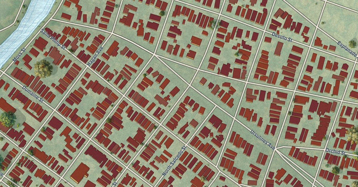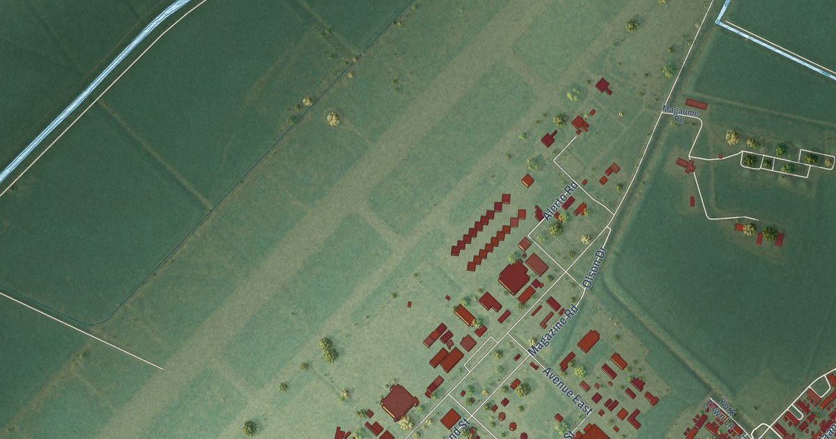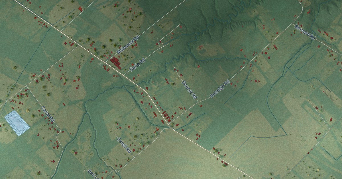
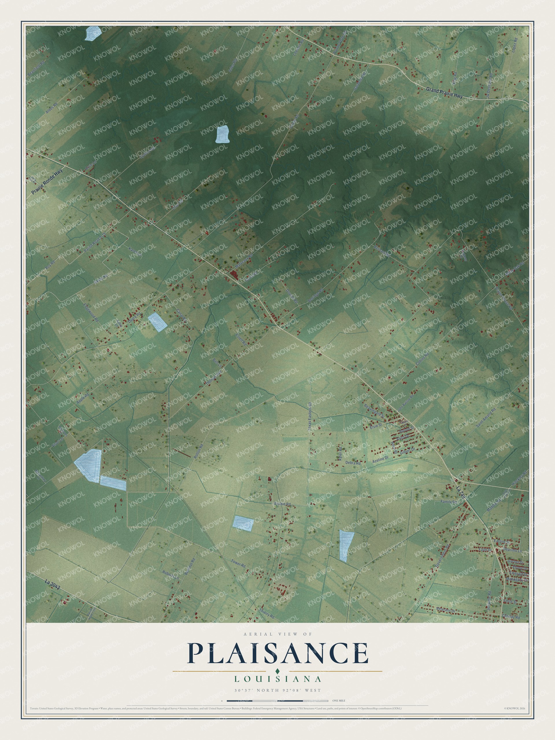
This beautifully detailed map of Plaisance, Louisiana was created in 2026 using aerial imagery combined with modern topographical, census, street and landmark data. It’s a one-of-a-kind view of Plaisance that combines accurate data with a vintage aesthetic. The map shows every building in its true location, many of the roads carry their names, and the shaded topographic relief shows the shape of the land.
Explore an aerial view of Plaisance, Louisiana
On the map you’ll find La 749, La 3043, and Parish Road 5-75, along with Grand Prairie Highway, Prairie Ronde Highway, Sandy Road, Durio Road, Deprimo Lane, Allen Street, Jolivette Road, Tower Road, Prayer House Road, and more. If you look closely you can even find your house accurately drawn in its correct location. Zoom in on the preview to look for yours.
Did You Know?
From the 1924 Louisiana Historical Quarterly: "Procuration by Henry Buquoy, called Plaisance, (11472) and Charlotte Thevenard, his wife, to (blank). fo. 12. to transact business and effect sale of a house (2613) at La Rochelle."
Plaisance is a community in St. Landry Parish.
Take a closer look at the Plaisance map
Names on this map
These names are printed on this map.
Streets and roads: Grand Prairie Highway, La 749, La 3043, Prairie Ronde Highway, Sandy Road, Durio Road, Parish Road 5-75, Deprimo Lane, Allen Street, Jolivette Road, Tower Road, Prayer House Road.
More street names, A to Z
Aldes Road, Anita Drive, Apple Road, Arlen Road, Arvie Lane, Azeline Drive, Beanfield Road, Beauregard Street, Bell Lane, Belridge Road, Bernard Road, Bertinot Road, Bonnie Road, Canal Road, Chenier Road, Collins Road, Cosay Road, Debra Road, Doucet Road, Dupre Road, Earline Street, Ebony Drive, Edgewood Road, Elsie Street, Emerald Drive, Emile Street, Estell Road, Explorer Drive, Faith Drive, Family Road, Gardenia Road, Garnet Drive, Gilbert Drive, Government Road, Harold Street, Hinckley Road, John Batiste Road, Jw Deshotel Road, Karen Lane, Kellie Lane, King Road, Kyler Road, Leevern Road, Lilac Road, Lopez Road, Maddie Road, Mahogany Drive, Malveaux Road, Monastery Lane, Monustary Lane, Parish Road 1-115, Parish Road 5-26, Pointe Verte Road, Roberts Lane, Rolton Road, Roy Road, Saint Amand Road, Spruce Street, Sunny Dale Road, Texas Eastern Road, Thierry Road, Thomas Avenue, Veterans Drive, Visor Lane, White Oak Road, Zydeco Road.
See it on a wall
The Plaisance map as a framed print. Swipe for more.


This beautifully detailed map of Plaisance makes an attractive addition to your office, library, or den, and it can even be used to teach children the geography and history of the area. It also makes a great gift for someone who left Plaisance and still calls it home. When you’re done exploring, click here to get your copy of the Plaisance map.