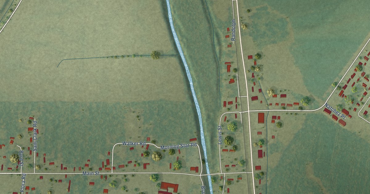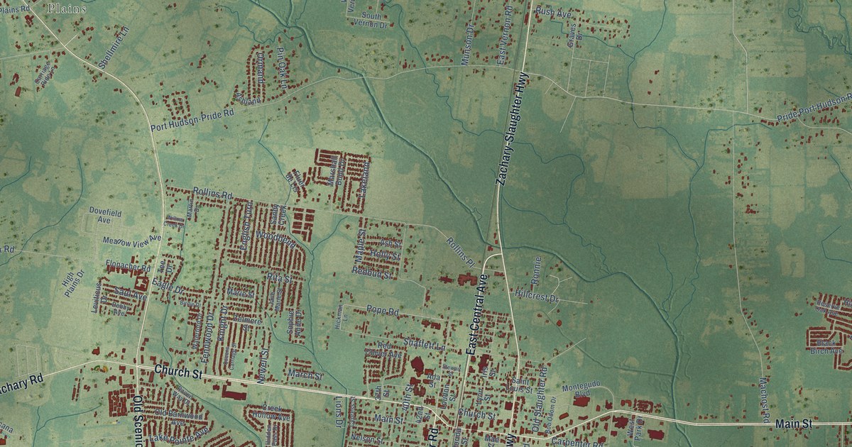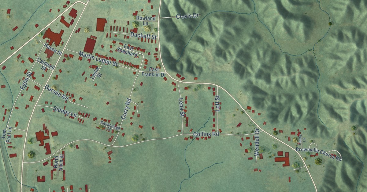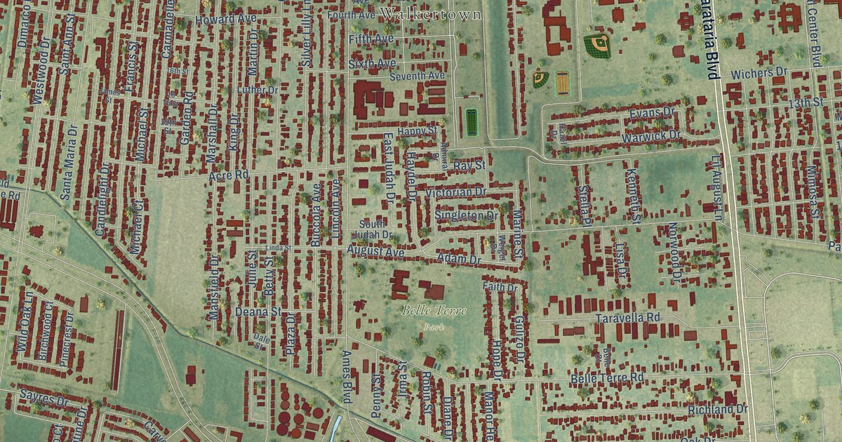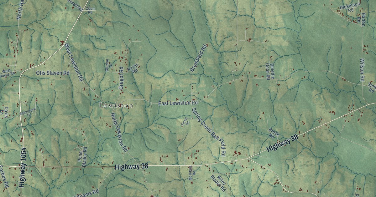
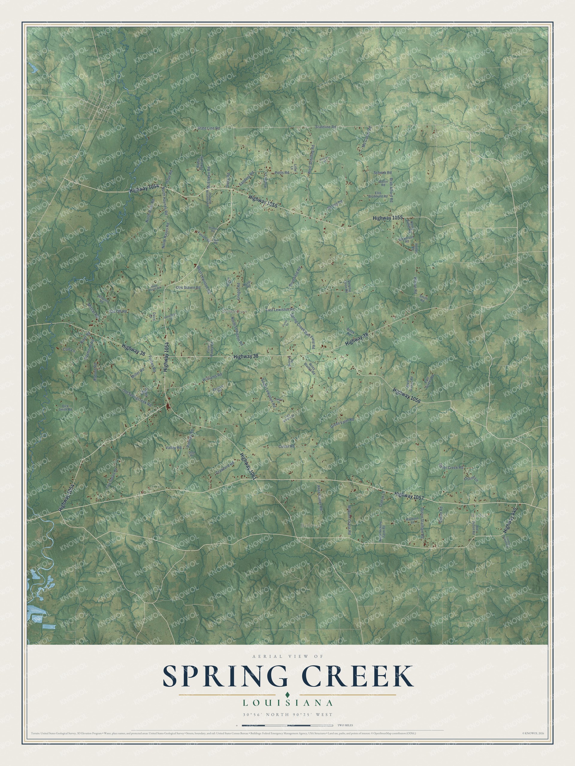
This beautifully detailed map of Spring Creek, Louisiana was created in 2026 using aerial imagery combined with modern topographical, census, street and landmark data. It’s a one-of-a-kind view of Spring Creek that combines accurate data with a vintage aesthetic. The map shows every building in its true location, many of the roads carry their names, and the shaded topographic relief shows the shape of the land.
Explore an aerial view of Spring Creek, Louisiana
On the map you’ll find Bailey, Bolivar, and Lewiston, along with Highway 1054, Highway 440, Highway 1057, Highway 1055, Highway 1056, Highway 38, Highway 1061, State Line Road, and more. If you look closely you can even find your house accurately drawn in its correct location. Zoom in on the preview to look for yours.
Did You Know?
From William Hicks’s 1914 History of Louisiana Negro Baptists: "At this time they were few in number, and were a branch of the Spring Creek Church."
Spring Creek is a community in Tangipahoa Parish.
Take a closer look at the Spring Creek map
Names on this map
These names are printed on this map.
Places: Bailey, Bolivar and Lewiston.
Streets and roads: Highway 1054, Highway 440, Highway 1057, Highway 1055, Highway 1056, Highway 38, Highway 1061, State Line Road, Stateline Road, Sanders Road, Mc Carter Road, Brab Alford Road.
More street names, A to Z
Alice Cutrer Road, Bosque Road, Brock Road, Brumfield Road, Cade Williams Road, Cecil Road, Cole Lane, Coon Road, Crawford Road, Cut Off Road, Cutrer Road, Davis Lane, Delettie Coon Road, Dickerson Road, Dick Smith Road, Dyson Lane, Dyson Road, Dyson Statham Road, East Givens Road, East Lewiston Road, Ellis Brumfield Road, Fannie Powell Road, Forbes Road, Forest Road, Fussell Road, Gatlin Road, Gordon Drive, Graham Lane, Green Farm Road, Gregot Road, Grice Road, Harton Road, Henry Butler Road, Hope Road, Joe Dyson Road, Kyzar Road, Lillie Lane, McElveen Road, McIntyre Road, Milburn Grace Road, Miller Road, Miscar Road, North Hayes Road, North Haynes Road, North Hickory Farm Road, North Lewiston Road, North River Road, Old Springcreek Road, Otis Slaven Road, Painter Lane, Pigott Road, Pittman Road, Pone Blades Road, Potts Road, Primes Road, Raborn Road, Rayborn Lane, Raymond Road, Rhodus Lane, River Road, Rodric Dykes Road, Schenk Road, Silver Creek Road, Smith Road, South Lewiston Road, Spring Creek Ball Field Road, Spring Road, Stafford Road, Stinson Road, Swearingen Lane, Thurland McGehee Road, Troy Spears Road, Valley Road, West Givens Road, West Hayes Road, West Lewiston Road, West Schilling Road, Wiley Blades Road, Williams Road, Wilson Road.
See it on a wall
The Spring Creek map as a framed print. Swipe for more.


This beautifully detailed map of Spring Creek makes an attractive addition to your office, library, or den, and it can even be used to teach children the geography and history of the area. It also makes a great gift for anyone with Spring Creek roots. When you’re done exploring, click here to get your copy of the Spring Creek map.