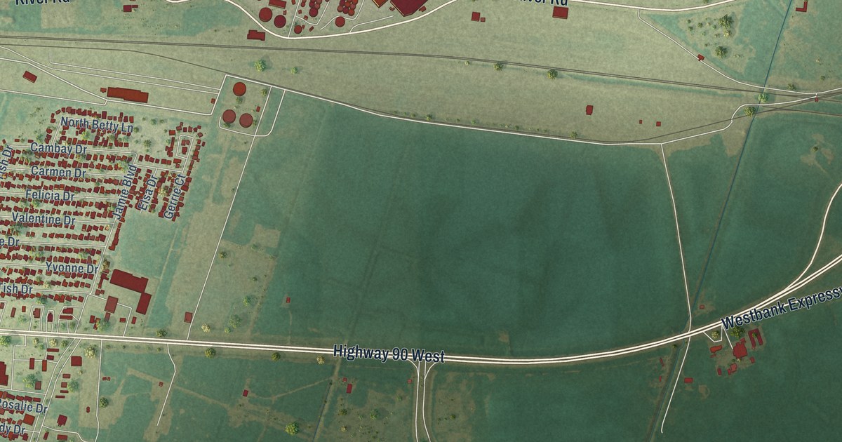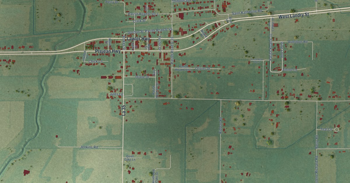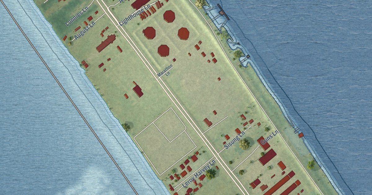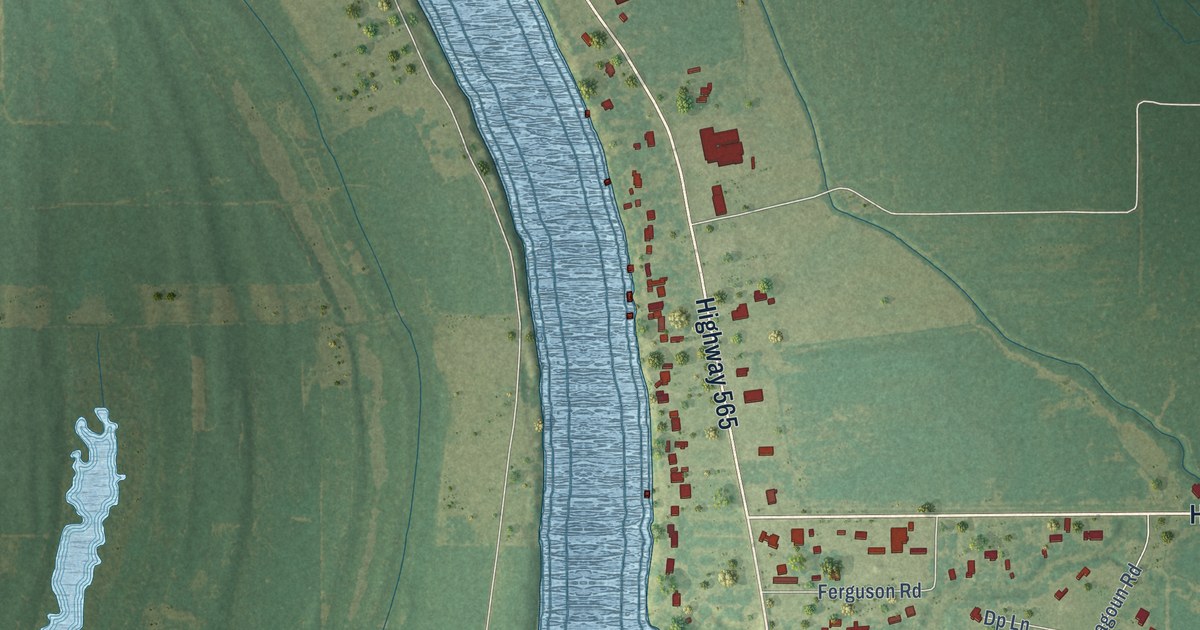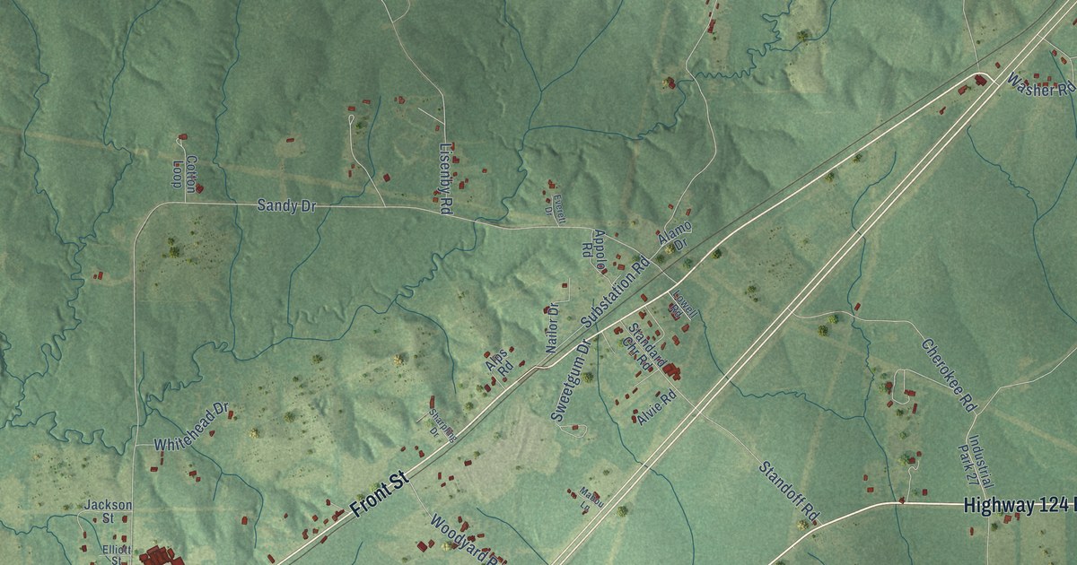
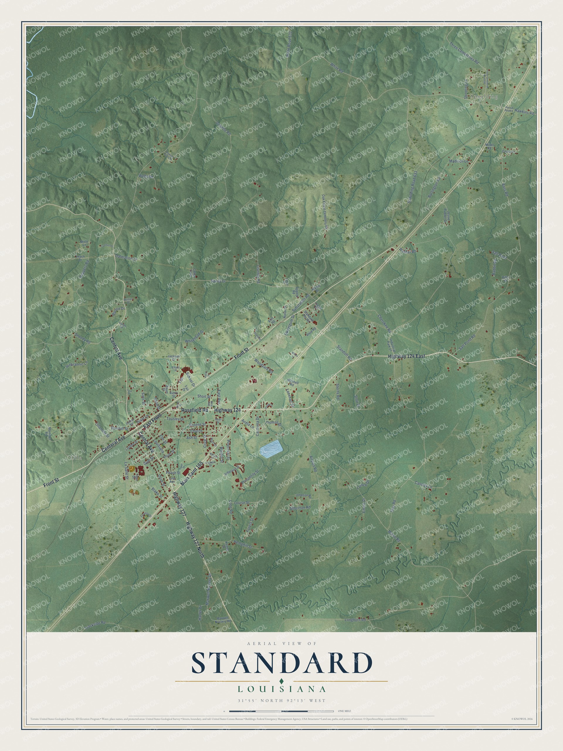
This beautifully detailed map of Standard, Louisiana was created in 2026 using aerial imagery combined with modern topographical, census, street and landmark data. It’s a one-of-a-kind view of Standard that combines accurate data with a vintage aesthetic. The map shows every building in its true location, many of the roads carry their names, and the shaded topographic relief shows the shape of the land.
Explore an aerial view of Standard, Louisiana
On the map you’ll find Spaulding, Olla, East Front, and Main Saint 165, along with Highway 124, Highway 124 East, Rosefield Road, Highway 127 North, Central Avenue, Front Street, Highway 127, Centeral Avenue, and more. If you look closely you can even find your house accurately drawn in its correct location. Zoom in on the preview to look for yours.
Did You Know?
From the 1878 Annual Report of the American Bar Association: "Some of these industrial institutions operate plants in half the states, and the Standard Oil wagon is seen in every village and hamlet in the land."
Standard is a community in LaSalle Parish.
Take a closer look at the Standard map
Names on this map
These names are printed on this map.
Places: Spaulding and Olla.
Streets and roads: Highway 124, Highway 124 East, Rosefield Road, Highway 127 North, Central Avenue, East Front, Main Saint 165, Front Street, Highway 127, Centeral Avenue, Lanehart Drive, Snoody Road.
More street names, A to Z
Acela Lane, Airport Road, Alamo Drive, Allbritton Road, Alps Road, Alvie Road, Appolo Road, Ash Street, Avery Street, Barton Drive, Bass Road, Baum Street, Bills Place, Blake Street, Bradford Road 629, Burlington Road, Carmona Drive, Cassidy Lane, Cherokee Road, Church, College Avenue, Coolman Road, Cotton Loop, Crick Street, Dalmation Lane, Davis Street, Dixie Lane, East Avenue, Elliott Street, Elm Street, Emery Drive, Emma Lane, Everett Drive, Fair, Fair Drive, Faye Street, Forestry Street, Forest Street, Franklin Street, Greene Street, Grivette Road, Gum Street, Harter Drive, Hart Lane, Hawkins Road, Hemphill Street, Hollis Street, Industrial Park 27, Jackson Street, Jefferson Street, Jessie Ruddel Drive, Johnson Road, Jonbrannic Lane, Keene Drive, La Salle Street, Leach Drive, Line Avenue, Lisenby Road, London Street, Longhorn Road, Loop Road, Lorece Drive, Louise Street, Louisiana, Lowell Road, Mabou Lane, Madison Lane, Madison Street, Maxwell Nursery Drive, Maxwell Nursery Road, Miller Road, Misty Lane, Mitchell Road, Mixon Road, Morrison Road, Nailor Drive, Oak Forest Cemetery Road, Olive Street, Ollamills Street, Olympia Drive, Parish Road 8, Patton Road, Peach Street, Peppers Road, Phillips Drive, Pinecrest Street, Plum Street, Prosperity Street, Quail Drive, Rabbit Road, Randall Street, Rose Street, Salt Pond, Salt Pond Road, Sandy Drive, School Drive, Sharpling Drive, Shooting Lane, Short Street, Sims Street, Slay Road, Spaulding Road 633, Standard Chr Road, Standoff Road, Sterns Road, Stott Drive, Substation Road, Sweetgum Drive, Thomas Street, Three Cemeteries Road, Three Cemeteries Road 650, Tiger Drive, Tousley Drive, Tower Street, Trackside Road, Warner Street, Washer Road, Wells Road, West Avenue, Whitehead Drive, White Road, White Road 632, Woodyard Road.
See it on a wall
The Standard map as a framed print. Swipe for more.


This beautifully detailed map of Standard makes an attractive addition to your office, library, or den, and it can even be used to teach children the geography and history of the area. It also makes a great gift for anyone who grew up in Standard or moved away. When you’re done exploring, click here to get your copy of the Standard map.