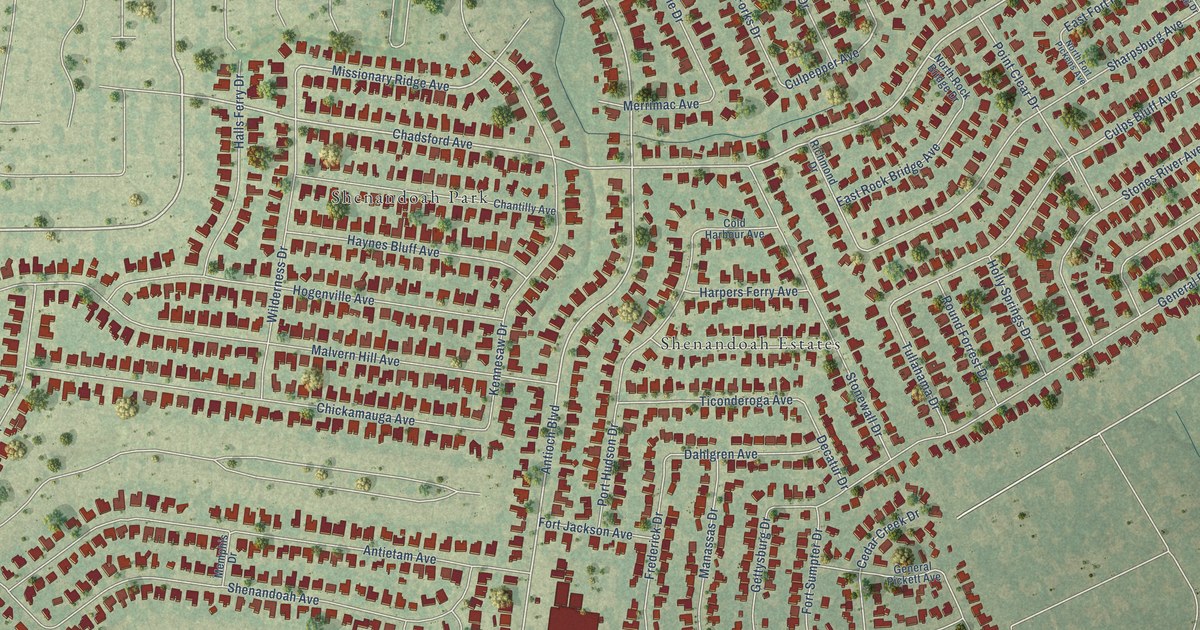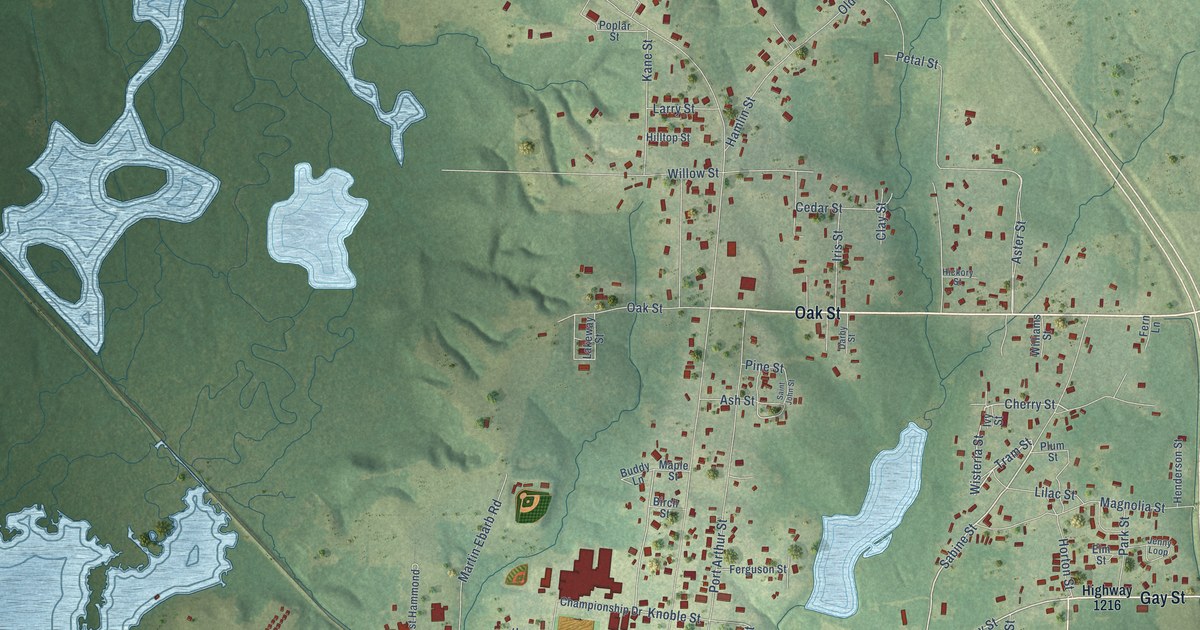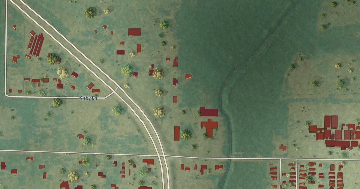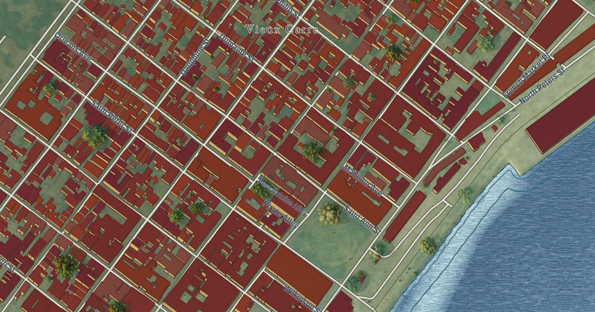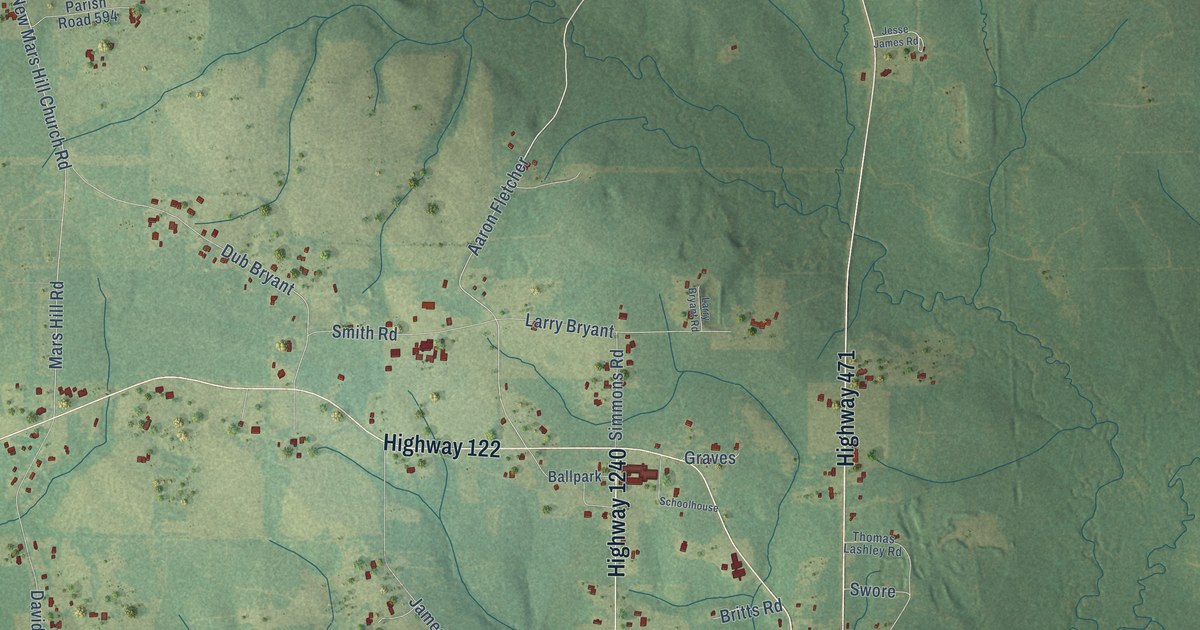
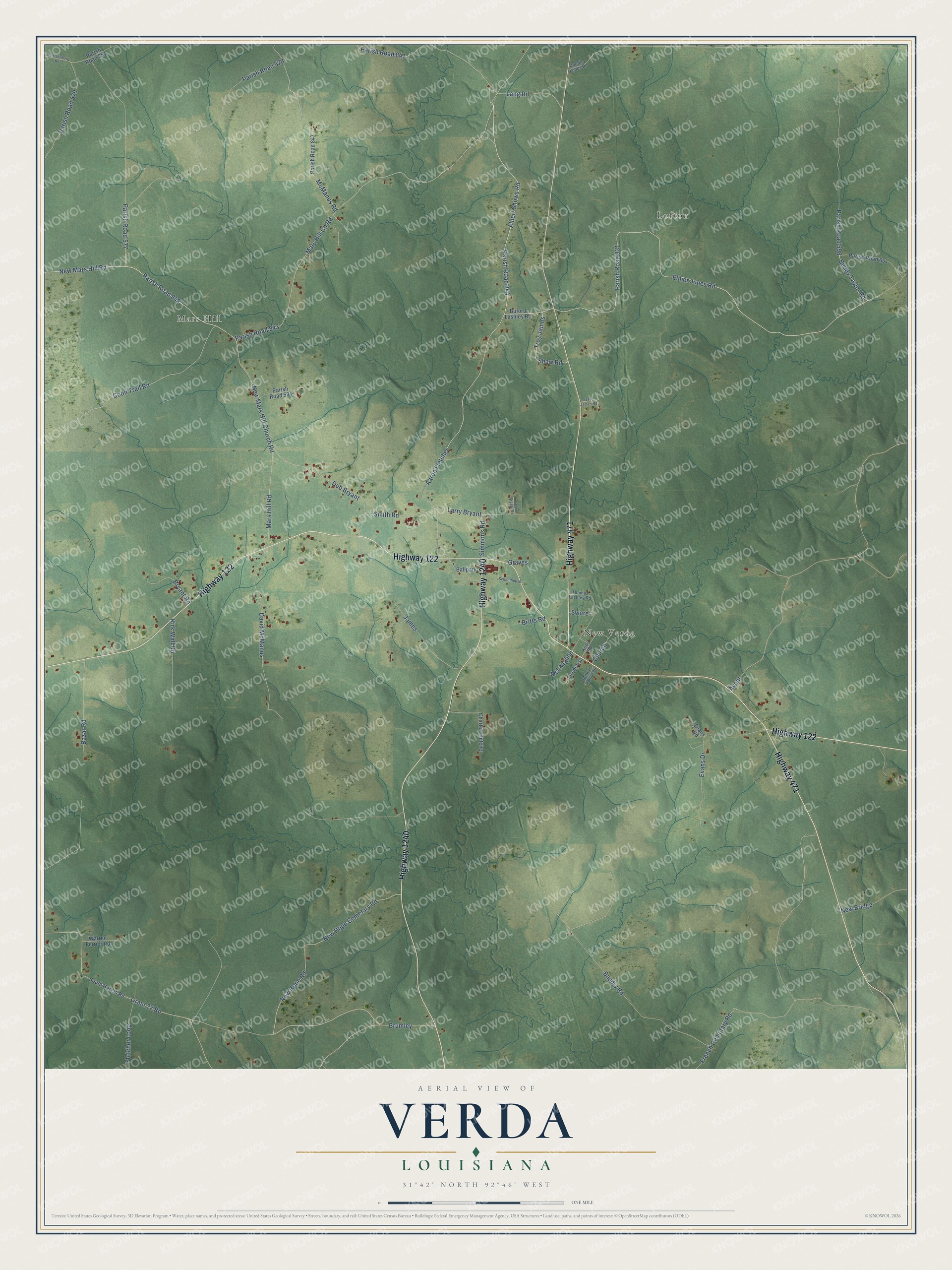
This beautifully detailed map of Verda, Louisiana was created in 2026 using aerial imagery combined with modern topographical, census, street and landmark data. It’s a one-of-a-kind view of Verda that combines accurate data with a vintage aesthetic. The map shows every building in its true location, many of the roads carry their names, and the shaded topographic relief shows the shape of the land.
Explore an aerial view of Verda, Louisiana
On the map you’ll find Lofton, Mars Hill, New Verda, Parish Road 844, Parish Road 831, and Troy James, along with Highway 122, Highway 471, Highway 1240, Shaw Road, Albert Shows Road, Buddy Taylor Road, and more. If you look closely you can even find your house accurately drawn in its correct location. Zoom in on the preview to look for yours.
Did You Know?
From the 1925 History of Louisiana: "Two brick schoolhouses have been constructed in Colfax and high schools have been established at Pollock, Verda, Montgomery, Selma and Dry Prong, all these being brick buildings."
Verda is a community in Grant Parish.
Take a closer look at the Verda map
Names on this map
These names are printed on this map.
Places: Lofton, Mars Hill and New Verda.
Streets and roads: Highway 122, Highway 471, Highway 1240, Shaw Road, Parish Road 844, Albert Shows Road, Parish Road 831, Troy James, Buddy Taylor Road, Parish Road 848, Mars Hill Ch Road, New Mars Hill Road.
More street names, A to Z
Aaron Fletcher, Avant, Ballpark, Baudry Road, Bazar Road, Britts Road, Brumley, Bryant Road, Buford Lashley Road, Charles Fletcher, Church, Coon Trail Road, David McManus, Doodle James Road, Dub Bryant, Elmer Jones Road, Evans Drive, Evans Road, Firehouse, Fletcher Loop, French Cemetary Road, Grant 22 Road, Graves, Harrisonburg Road, James, Jesse James Road, Kirby Road, Kirk Wall Road, Lang Road, Larry Bryant, Larry Bryant Road, Mars Hill Road, McLaughlin, McManus Road, New Bridge, New Hope Cemetary Road, New Hope Road, New Mars Hill Church Road, Parish Road 577, Parish Road 578, Parish Road 579, Parish Road 594, Parish Road 598, Parish Road 601, Parish Road 841, Parish Road 843, Parish Road 847, Parish Road 851, Robert Tomason, Schoolhouse, Simmons Road, Smith Road, South Hargis Road, Swore, Thomas Lashley Road, Warren Ferrier Road.
See it on a wall
The Verda map as a framed print. Swipe for more.


This beautifully detailed map of Verda makes an attractive addition to your office, library, or den, and it can even be used to teach children the geography and history of the area. It also makes a great gift for anyone with Verda roots. When you’re done exploring, click here to get your copy of the Verda map.