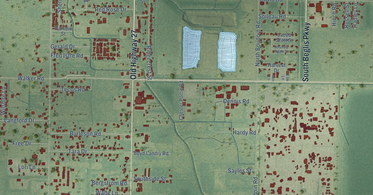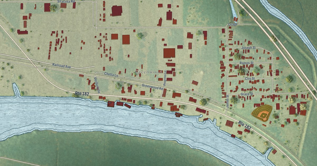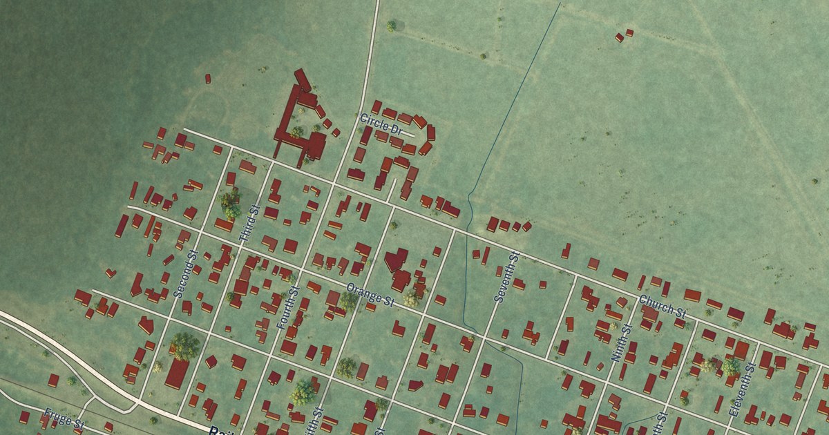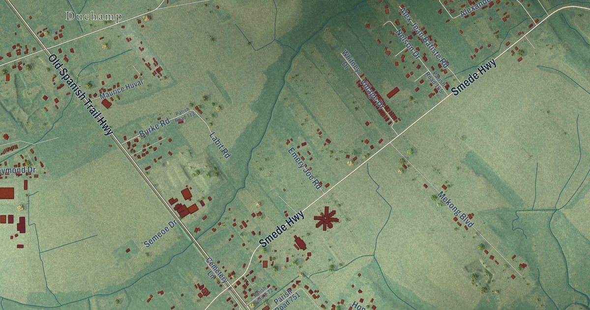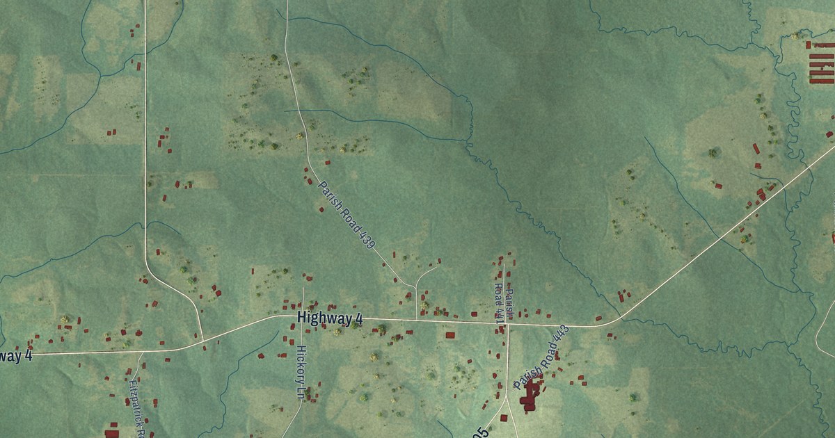
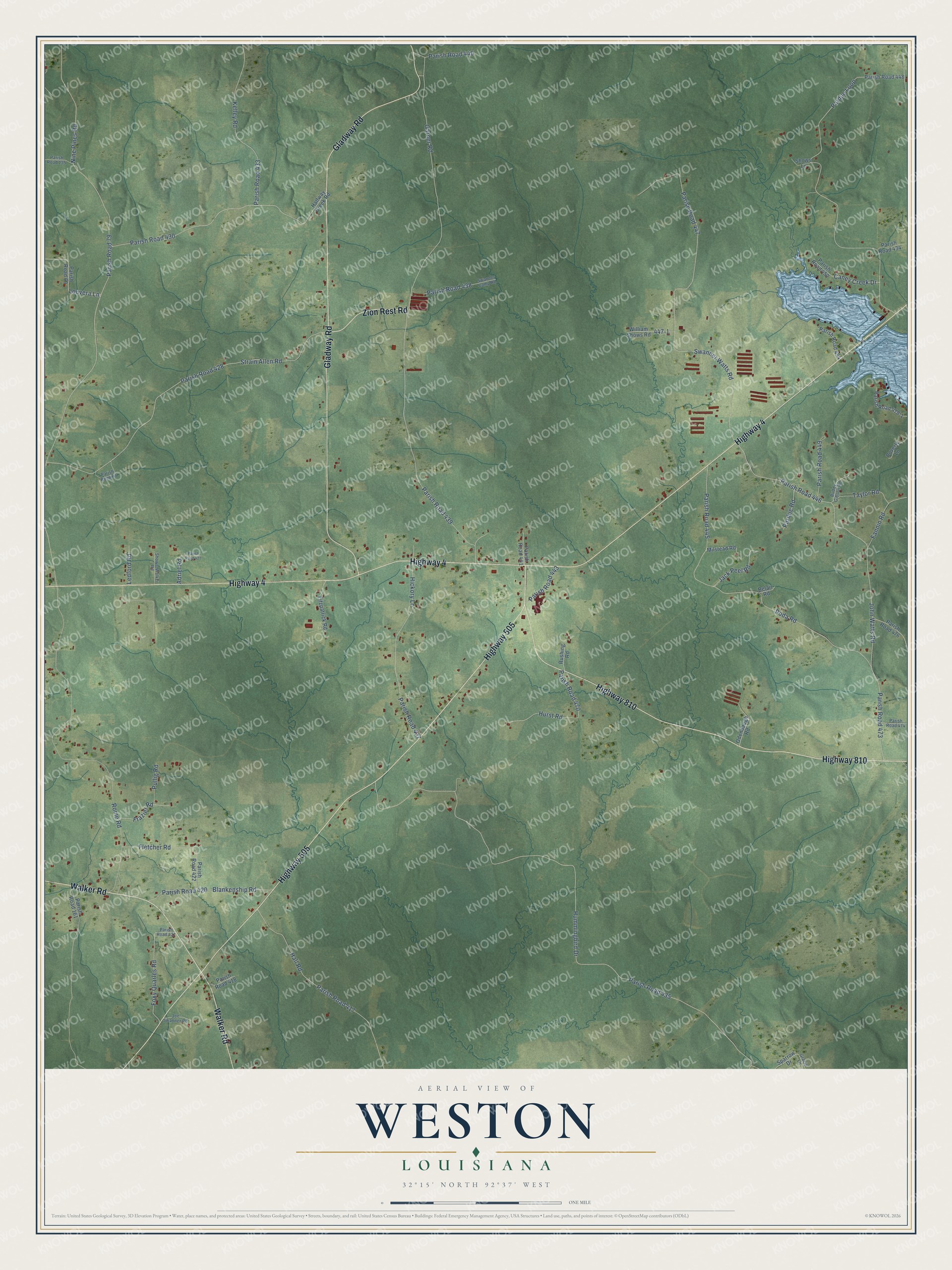
This beautifully detailed map of Weston, Louisiana was created in 2026 using aerial imagery combined with modern topographical, census, street and landmark data. It’s a one-of-a-kind view of Weston that combines accurate data with a vintage aesthetic. The map shows every building in its true location, many of the roads carry their names, and the shaded topographic relief shows the shape of the land.
Explore an aerial view of Weston, Louisiana
On the map you’ll find Parish Road 435, Parish Road 439, and Parish Road 79, along with Highway 4, Highway 505, Gladway Road, Highway 810, Walker Road, Zion Rest Road, Hummingbird Drive, Garner Road, Nine Pines Road, and more. If you look closely you can even find your house accurately drawn in its correct location. Zoom in on the preview to look for yours.
Did You Know?
From the 1925 History of Louisiana: "George Edgar Stovall! first attended school at Weston, later was a student in the Louisiana Industrial Institute at Rushton, and in 1905 began the study of medicine in the University of Nashville, spent the following year in Tulane University at New Orleans, and in 1909 was graduated from the Memphis Hospital Medical College."
Weston is a community in Jackson Parish.
Take a closer look at the Weston map
Names on this map
These names are printed on this map.
Streets and roads: Highway 4, Highway 505, Gladway Road, Highway 810, Walker Road, Zion Rest Road, Hummingbird Drive, Parish Road 435, Garner Road, Parish Road 439, Nine Pines Road, Parish Road 79.
More street names, A to Z
Adriel Road, Belair Road, Blankenship Road, Buddy Gibson Road, Caney Creek Drive, Fannin Road, Fitzpatrick Road, Fletcher Road, Foxy Quarles Road, Frazier Road, Gracie Lane, Halfway Creek Road, Hall Road, Hickory Lane, Hurst Road, Jack Peel Road, Joe Swanner Road, John Watts Road, Kelley Road, Ledford Road, Louvera Lane, Milstead Road, Odenbaugh Road, Pardue Loop, Pardue Road, Parish Road 60, Parish Road 83, Parish Road 135, Parish Road 161, Parish Road 417, Parish Road 418, Parish Road 420, Parish Road 421, Parish Road 422, Parish Road 427, Parish Road 428, Parish Road 430, Parish Road 433, Parish Road 434, Parish Road 437, Parish Road 438, Parish Road 440, Parish Road 441, Parish Road 443, Parish Road 445, Parish Road 446, Parish Road 447, Parish Road 448, Parish Road 449, Parish Road 452, Parish Road 454, Parish Road 470, Parish Road 473, Parish Road 474, Parish Road 476, Parish Road 478-1, Poda Road, Poverty Lane, Pullig Road, Rome Road, Rushing Road, Shows-Walker Road, Shows Lane, Sparrow Drive, Strain Allen Road, Swanner Camp Road, Swanner Watts Road, Taylor Road, William Shows Road.
See it on a wall
The Weston map as a framed print. Swipe for more.


This beautifully detailed map of Weston makes an attractive addition to your office, library, or den, and it can even be used to teach children the geography and history of the area. It also makes a great gift for anyone who grew up in Weston or moved away. When you’re done exploring, click here to get your copy of the Weston map.