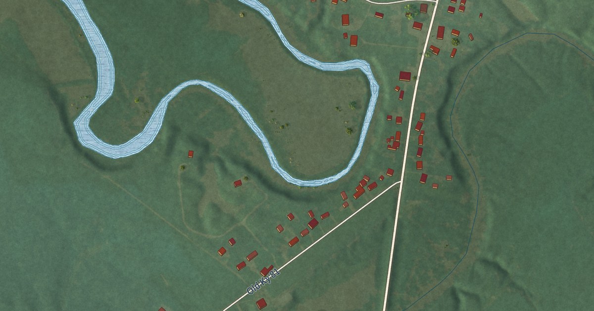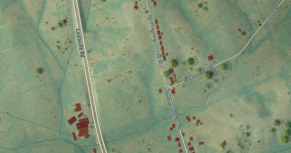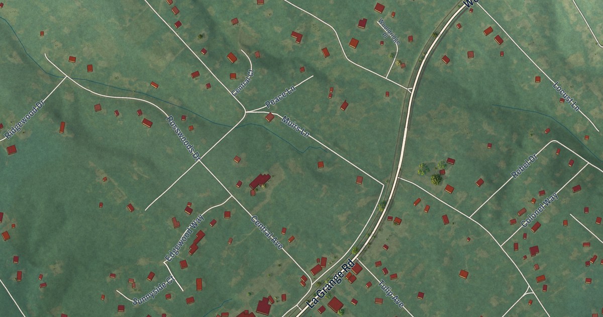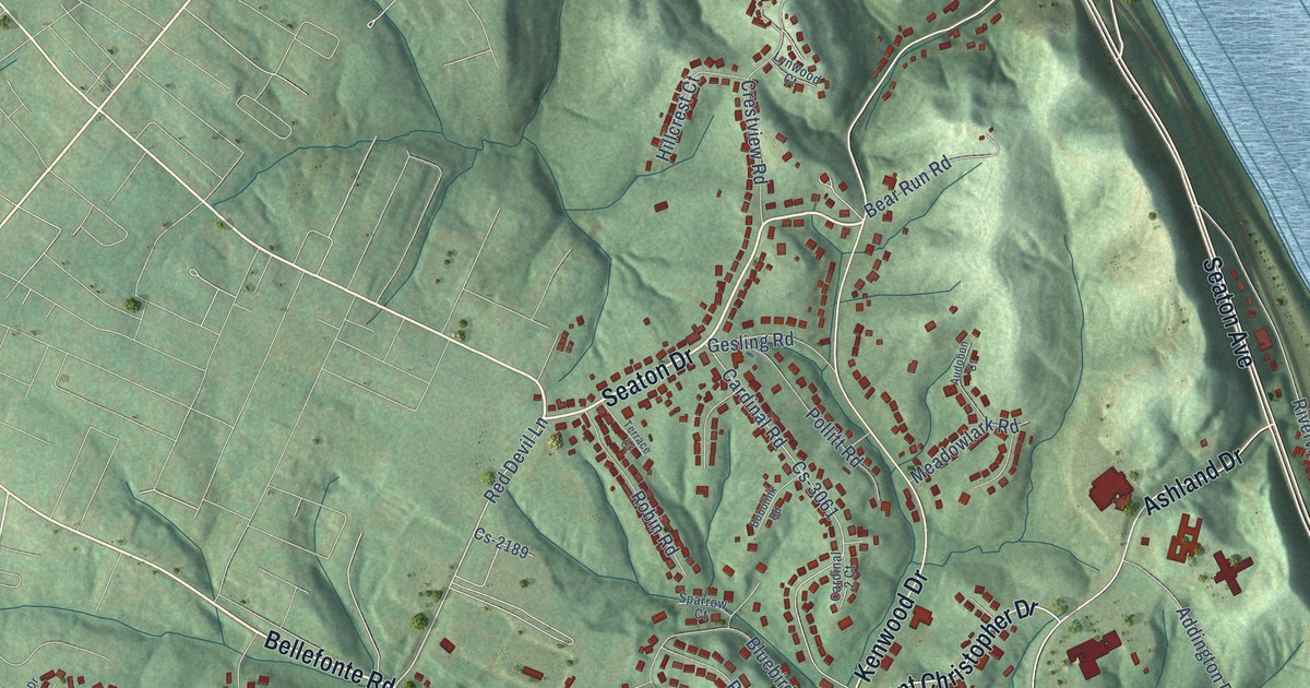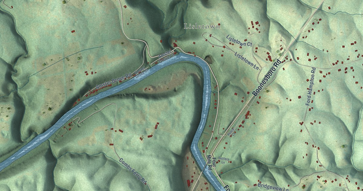
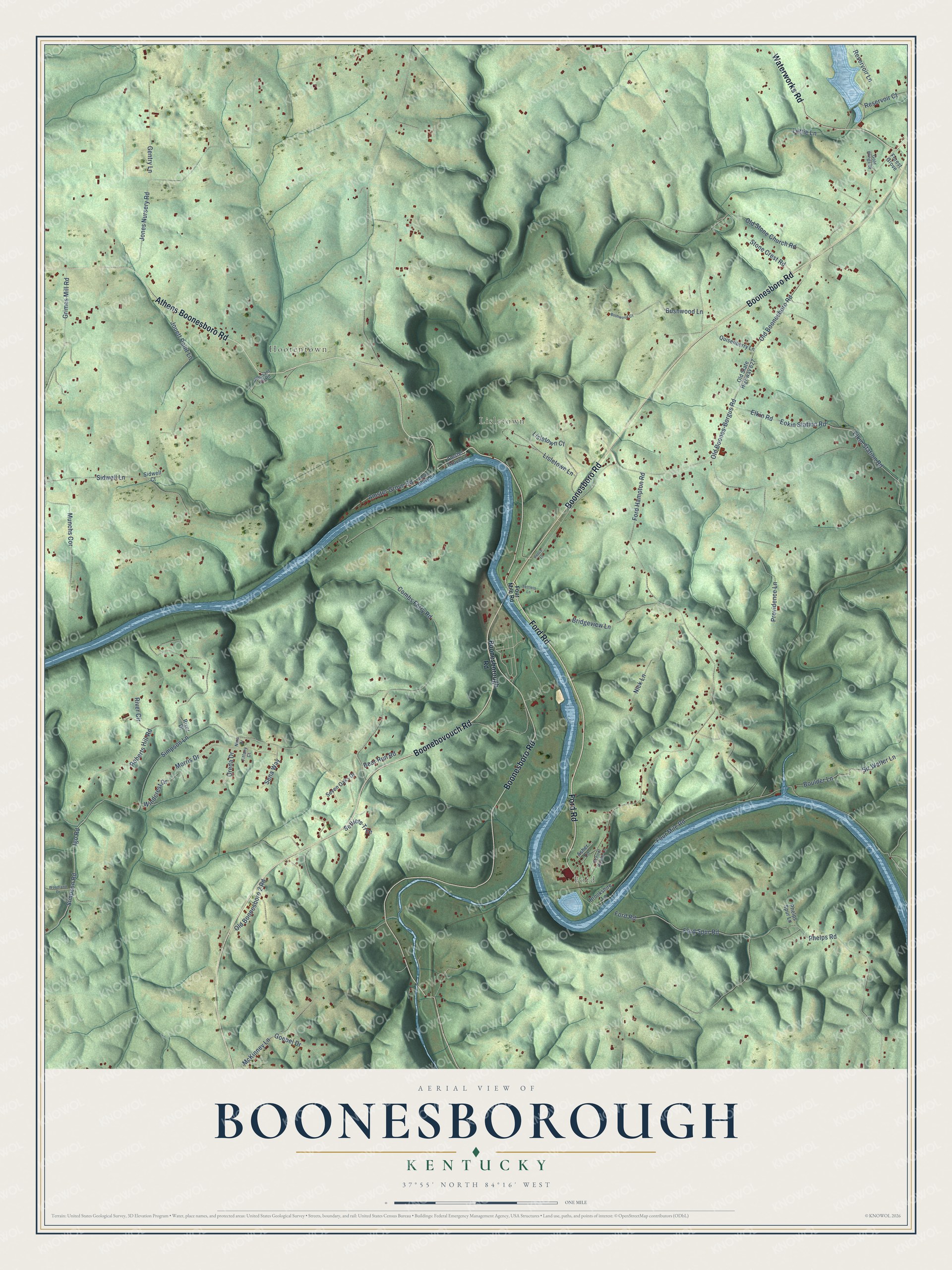
This beautifully detailed map of Boonesborough, Kentucky was created in 2026 using aerial imagery combined with modern topographical, census, street and landmark data. It’s a one-of-a-kind view of Boonesborough that combines accurate data with a vintage aesthetic. The map shows every building in its true location, many of the roads carry their names, and the shaded topographic relief shows the shape of the land.
Explore an aerial view of Boonesborough, Kentucky
On the map you’ll find Ford, Hootentown, and Lisletown, along with Ford Road, Boonesboro Road, Athens Boonesboro Road, Boonebovouch Road, Waterworks Road, Old Boonesboro Road, Igo Road, Simpson Road, Old Boones-Borgus Road, and more. If you look closely you can even find your house accurately drawn in its correct location. Zoom in on the preview to look for yours.
Did You Know?
From Internet Archive: "The classical scholar reveres not more the sites of departed Troy and Psestum and Thebes than does the descendant of the first settlers the site of Boonesborough."
Boonesborough is a community in Madison County.
Take a closer look at the Boonesborough map
Names on this map
These names are printed on this map.
Places: Ford, Hootentown and Lisletown.
Streets and roads: Ford Road, Boonesboro Road, Athens Boonesboro Road, Boonebovouch Road, Waterworks Road, Old Boonesboro Road, Igo Road, Simpson Road, Old Boones-Borgus Road, Combs Ferry Road, Ford Hampton Road, Simpson Lane.
More street names, A to Z
Amster Grove Court, Amster Grove Lane, Amster Grove Road, Asher Lane, Bear Run Road, Boonesborough Road, Boulder Lane, Bridgeview Lane, Brookshire Lane, Bushwood Court, Bushwood Lane, Elkin Road, Elkin Station Road, Eokin Station Road, Ford Spur Road, Forest Grove, Four Mile Road, Gentry Lane, Goebel Drive, Gold Wings Drive, Grimes Mill Road, Jones Nursery Road, Jouett Point Lane, Lettie Lane, Lisletown Court, Lisletown Lane, McKinney Lane, Morris Drive, Munchs Cor, Nick Lane, Nina Drive, Old Boonesboro 2 Road, Old State Highway 627, Old Stone Church Road, Oreda Drive, Pence Lane, Phelps Road, Phelps Spur Lane, Pleasant Hill Road, Providence Lane, Quisenberry Lane, Reservoir Court, Reservoir Lane, River Circle, River Drive, Roberts Hill Road, School House Lane, Sena Way, Settlers Lane, Settlers Trce, Seven Oaks Drive, Sidwell Court, Sidwell Lane, Sir Walter Lane, Stone Crest Road, Tiffany Court, Windcrest Drive, Woodland Drive.
See it on a wall
The Boonesborough map as a framed print. Swipe for more.


This beautifully detailed map of Boonesborough makes an attractive addition to your office, library, or den, and it can even be used to teach children the geography and history of the area. It also makes a great gift for anyone with Boonesborough roots. When you’re done exploring, click here to get your copy of the Boonesborough map.